Zucco Sileggio, from the Somana cemetery

Edited by:
Marco Bonati
Access
From Milan to Lecco along the state road ; continue in the direction of Sondrio and exit at the Abbadia Lariana junction. Continue on the provincial road until you pass Mandello del Lario: turn right towards the industrial area going up between small villas; soon turn left towards Somana. A long winding ascent among the houses leads to the limited parking area of the cemetery.
- How to get there with GMAPS
- How to get there with Apple Maps
Introduction
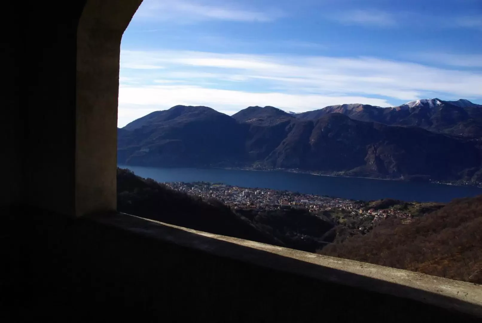
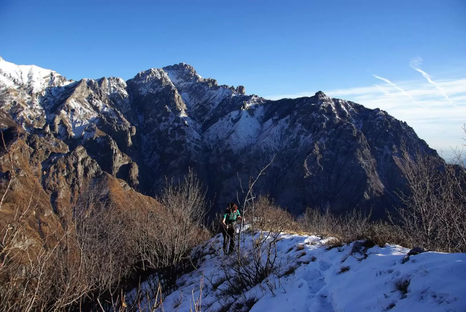
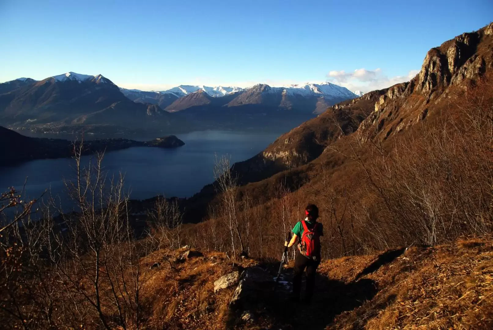
This excursion leads along an equipped path to the rocky peak overlooking Mandello. From the summit cross there is of course a vast panorama over the entire Lecco branch of Lake Como, but above all, a complete perspective on the western slopes of the entire Grigne group. The descent along a secondary valley in the direction of Olcio/Lierna is very interesting - and also much neglected by the large passage. The return to Somana takes place along one of the flat paths that are part - at various altitudes - of the so-called 'Sentiero del Viandante' (Wayfarer's Path).
Description
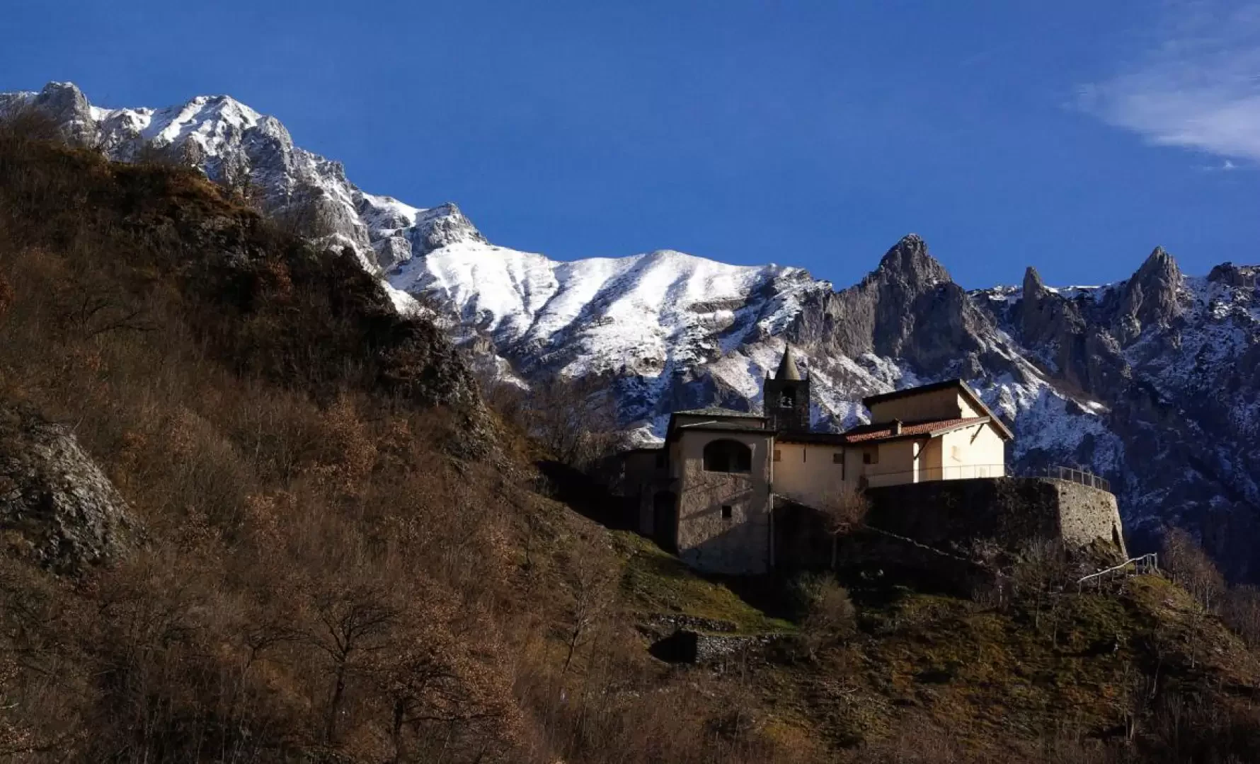
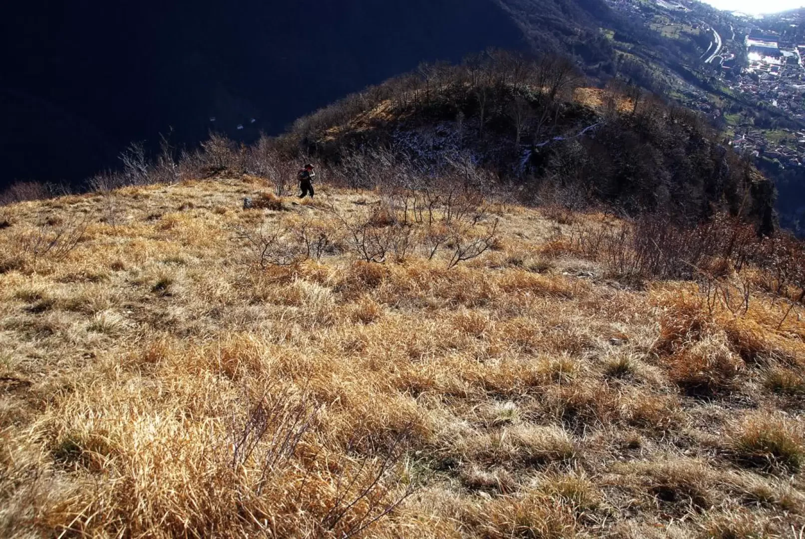
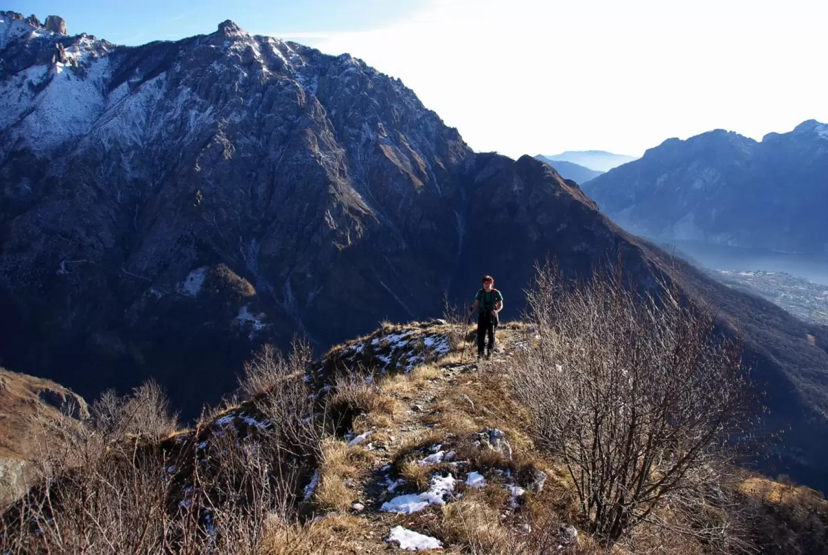
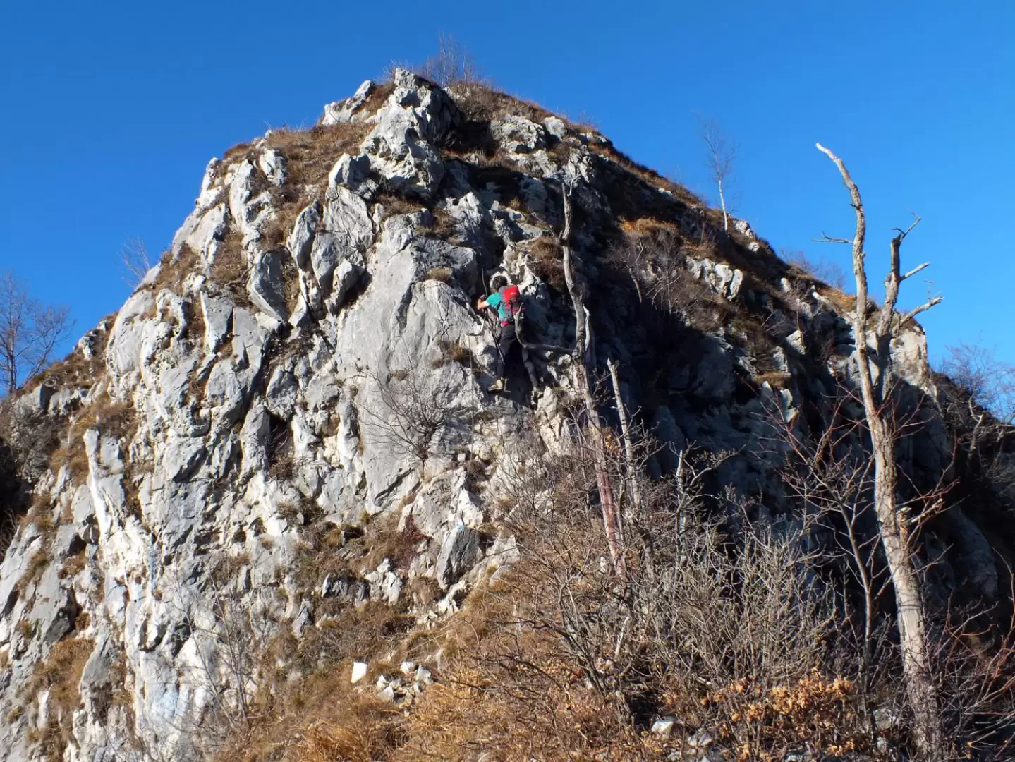
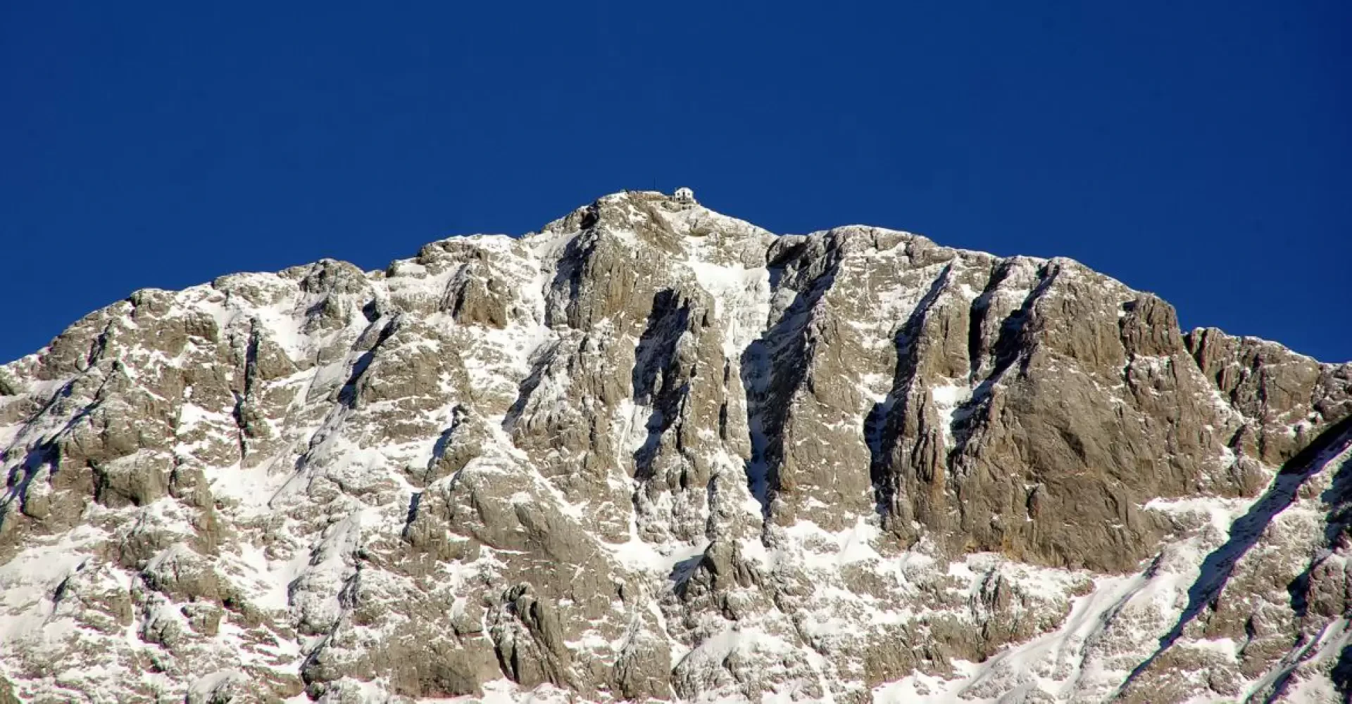
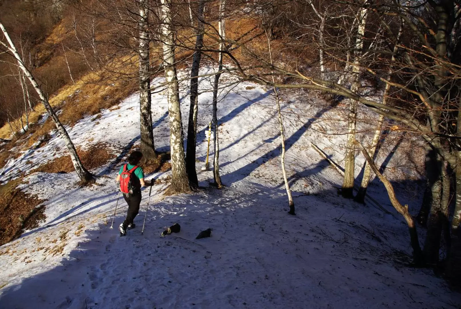
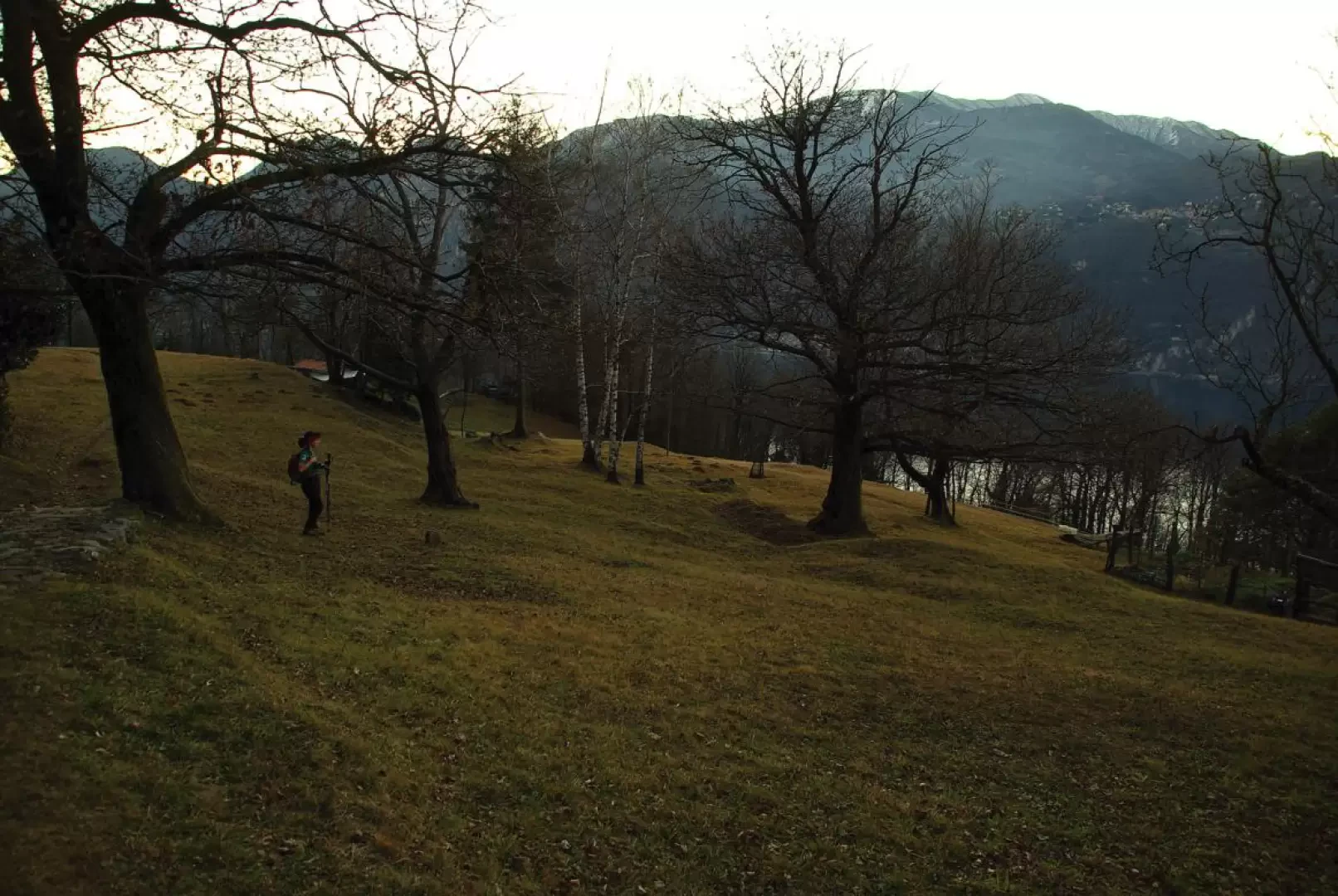
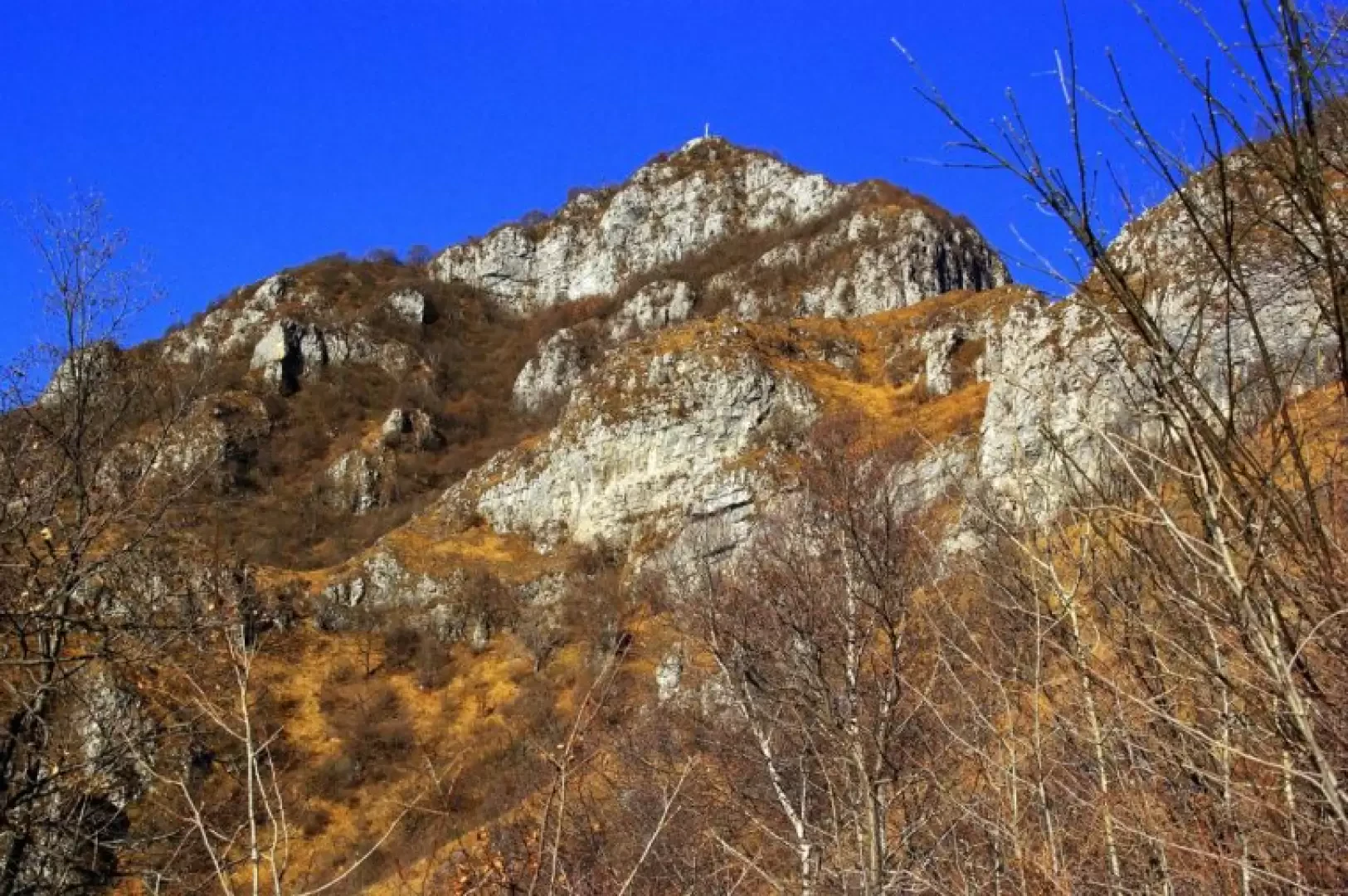
From the cemetery of Somana 405 m, climb in a few metres to a votive chapel (signpost of the Sentiero del Viandante) where you turn right in the direction of the hamlet of Sonvìco: after the first houses, along a narrow lane, take care to turn left into Via Santa Maria (signposted in paint behind you); this is a cobbled path that quickly leads into the woods above the hamlets of Mandello. The regular ascent - flanked by a simple via crucis and past the small chapel of Santa Preda 605 m - leads in about 30 minutes to the dominant Church of Santa Maria 661 m: after a few metres, you come to the junction with the path equipped for the Zucco Sileggio south-west ridge. The path immediately starts out very steep among the bushes and soon leads to an arrival area of a cable car; from here, follow the very steep stony slope that, after passing two rocky jumps with a chain, leads to a long equipped section: among ledges, walls and delicate loose channels, you reach the summit of the Zucco di Tura 1051m. Continue on a slight descent to a sort of wooded nozzle (path with a cable that descends to the right towards the houses of Era), from which you ascend steeply to the barely recognisable summit of Zucco di Morterolo 1157m. From here, the terminal rocky cusp is already clearly visible: to reach it, a thin rocky crest is traversed, introduced by a fissure-chimney (II-°) of a few metres. The equipped path continues with two long, very vertical metal ladders and a few dozen metres of small rocks with a chain up to the steep terminal ridge culminating at the small square with the cross of Zucco Sileggio 1373m.
Note
[For those who find themselves at the base of the ladders without a via ferrata kit, a path is available that bypasses the rocky drop from the east: a walkway under a bank of overhanging and very concreted rocks accompanies you up to a steep grassy slope that you climb in hairpin bends to the final ridge of the Zucco at the end of the equipment.]
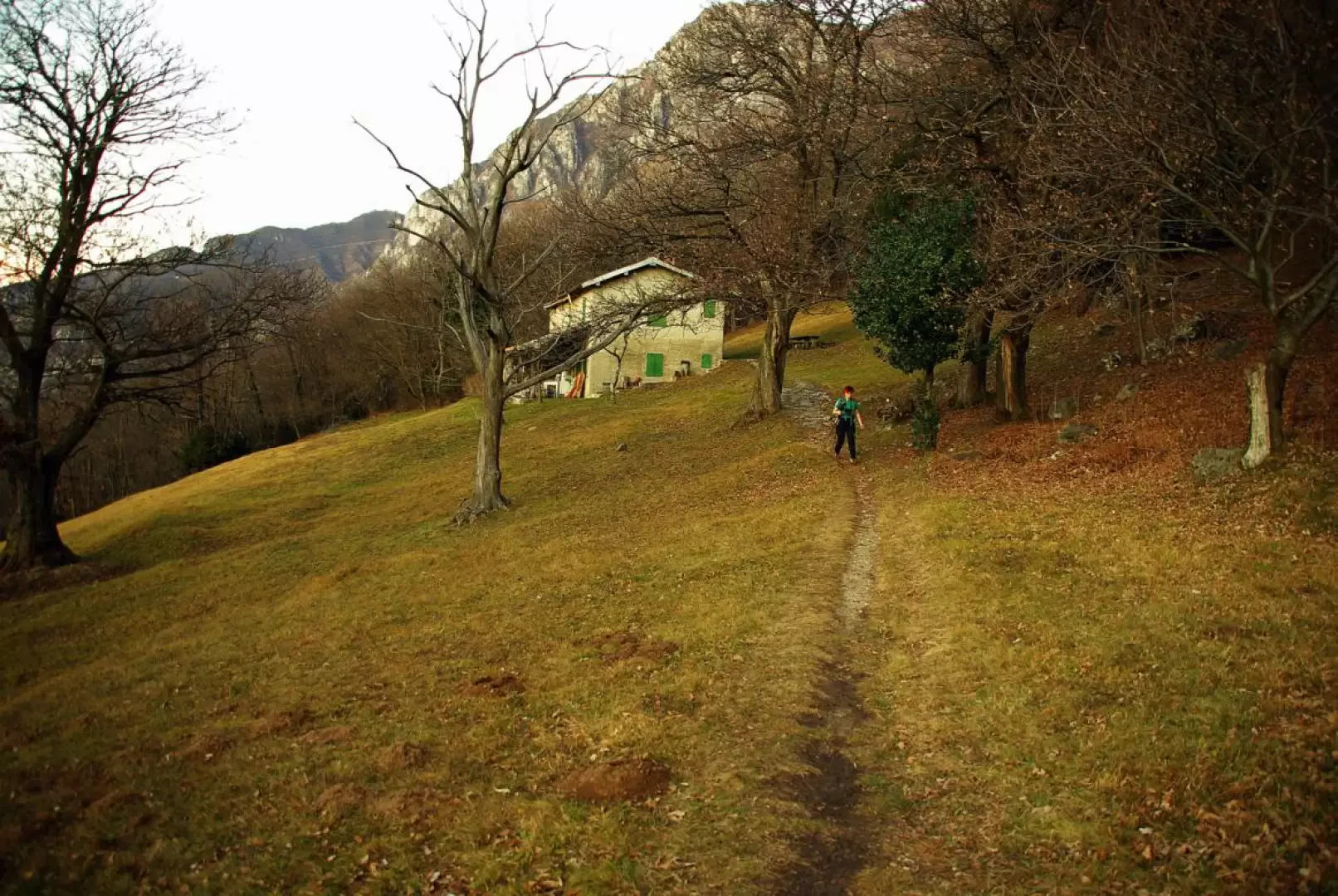
From the cross, follow the ridge line and, ignoring the descent to the left towards Somana, go alongside the Mario Sforza bivouac, then descend steeply through the beech wood to Bocchetta di Verdascia 1251m (junction of paths: northwards to Monte Pilastro, eastwards to Case di Era, westwards to Olcio/Lierna). We descend a steep wooded valley to the left (heading west) with a curious mixture of beech trees and evergreen yews as far as Fonte del Gess 602m 💧: close by are the first isolated huts and then a wide flat track (high trail of the Sentiero del Viandante); at a house with a pergola, we turn left and begin a long up-and-down traverse through woods and meadows with scattered farmsteads. Suddenly the track descends in steps towards the abandoned buildings of an old cattle farm; follow the paved access road and - in a few hundred metres - you will reach the car park near the cemetery of Somana.
General information
Signposts:
, s.n.,
,
Galleria fotografica