Valmadre, from Fusine

Edited by:
Marco Bonati
Updated at: 12/05/2025
Access
From Milan to S.Pietro Berbenno along state roads 36 and 38; just before the village, turn in the direction of Fusìne and join the road that runs parallel to the Madrasco stream. Park as far upstream as possible.
Introduction
Particular excursion that goes along the old mule track in the valley, now replaced - fortunately on a completely different route - by a carriage road. It is defined as special due to the fact that the ascent is largely - in terms of altitude and exposure - devoid of snow (and where there is snow, it is in the form of avalanche accumulations that are sometimes quite exposed); snowshoes are, on the contrary, very useful on the descent along the forest track to Valmadre. The mule track - which has been disused for about 25 years - has always been used over the centuries for the passage of ferrous material from the Bergamo mines over the Dordona Pass towards the forges ("Fusìne") at the bottom of the valley; the passage of caravans of mules and horses required a paved/cobbled surface, protections in the valley and niche widenings in the rock: ample evidence of all this remains.
Description
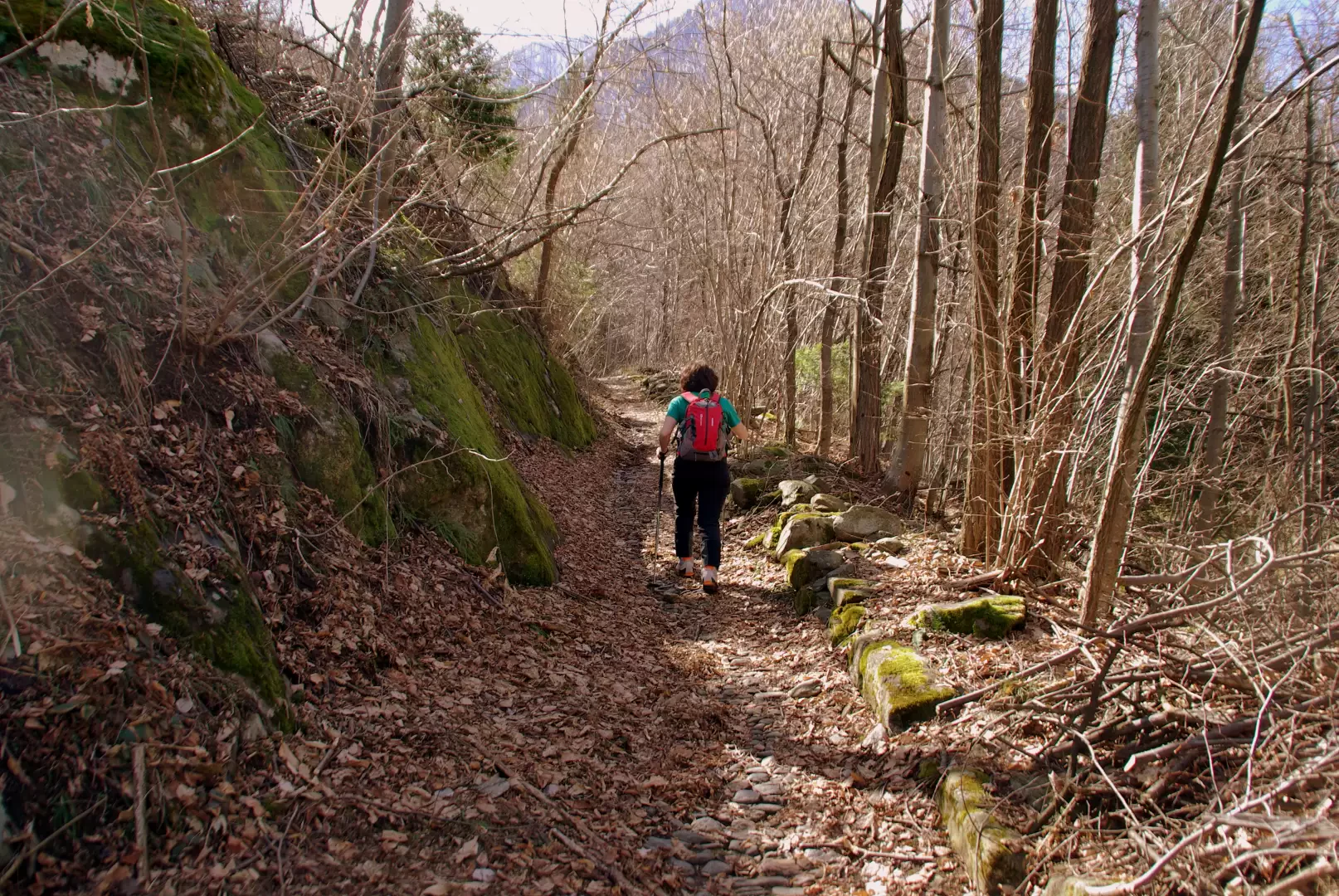
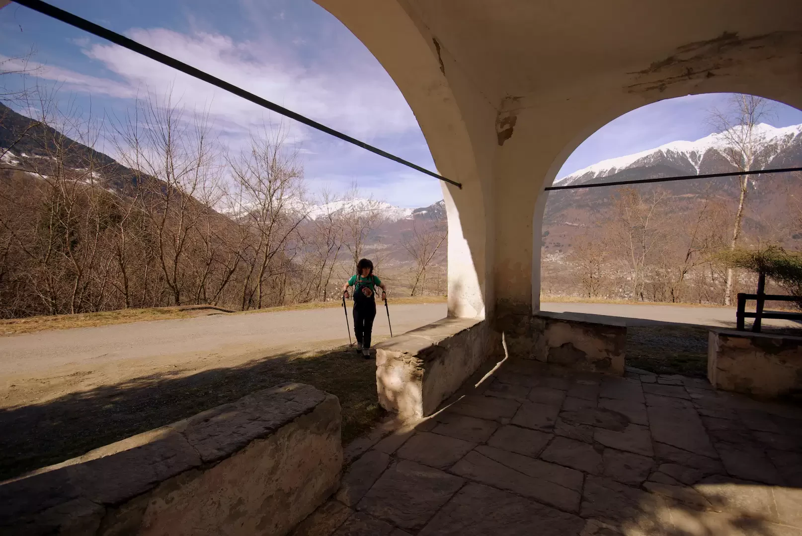
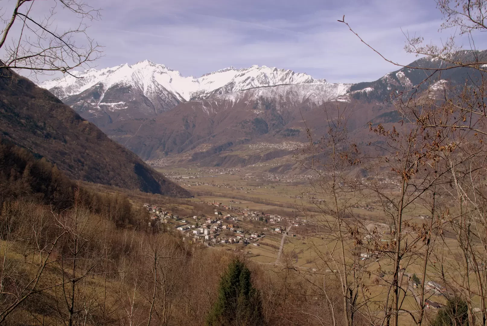
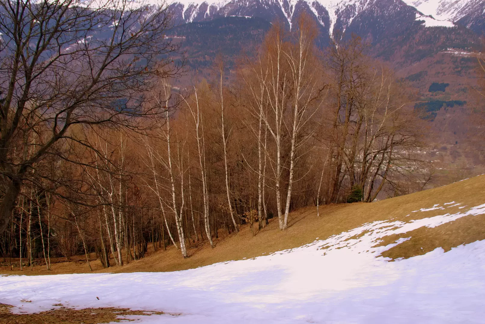
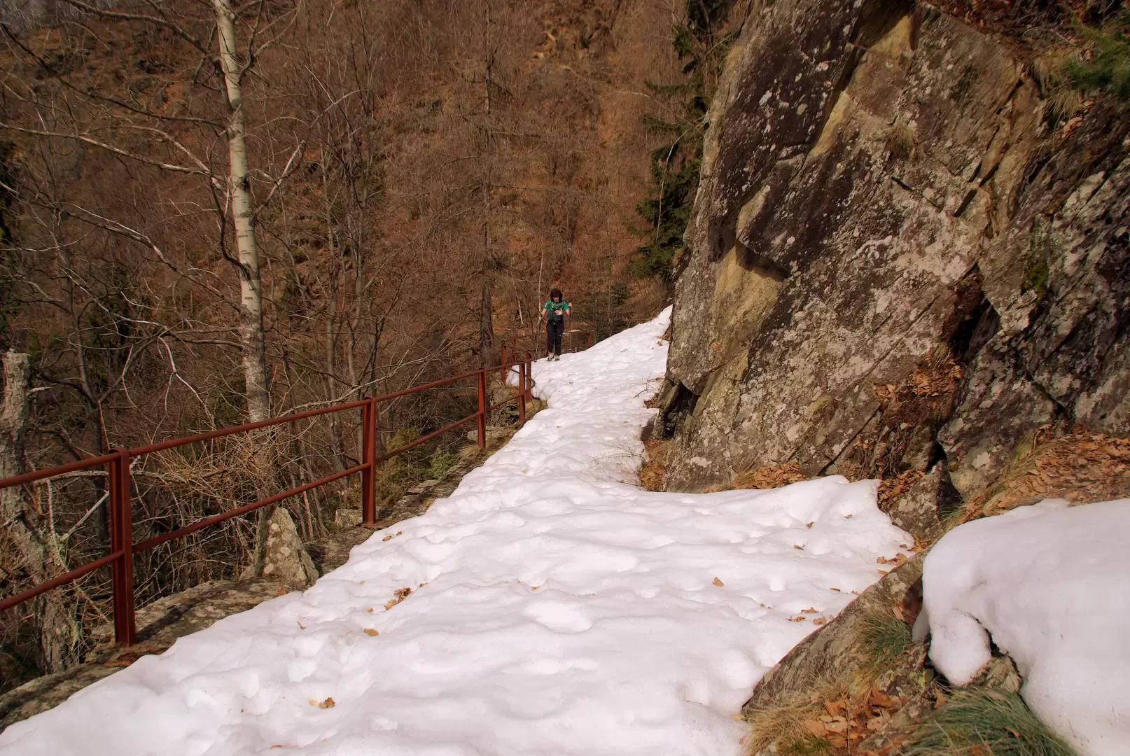
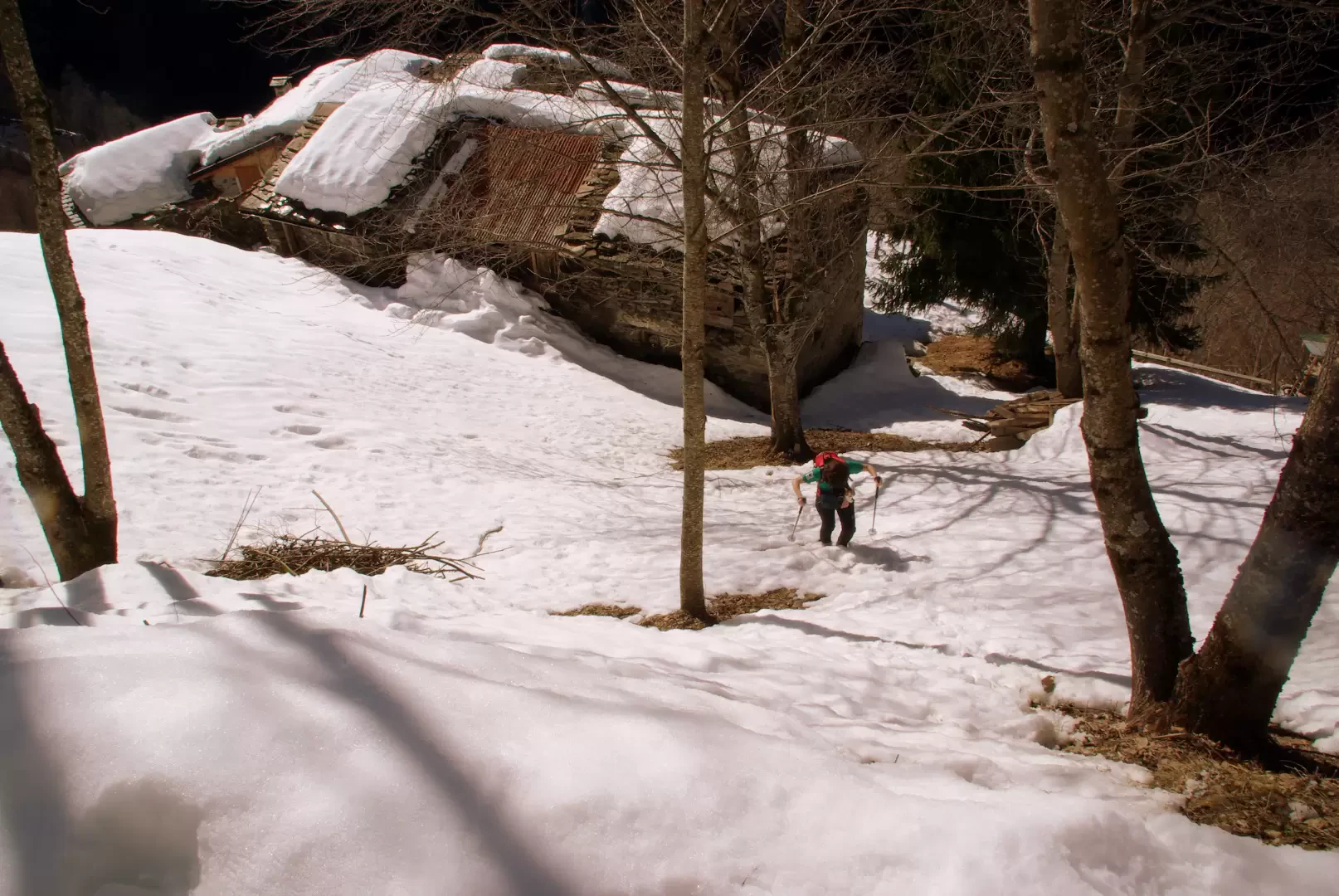
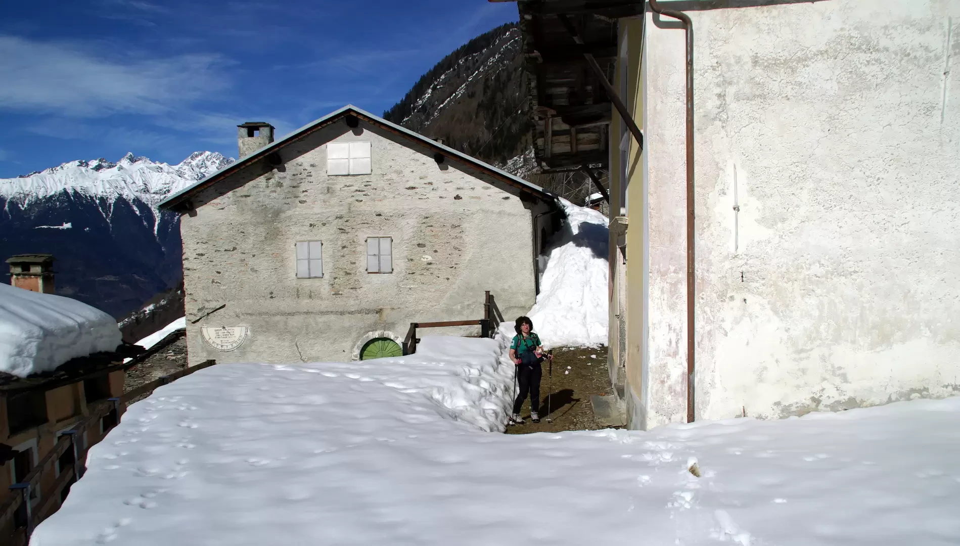
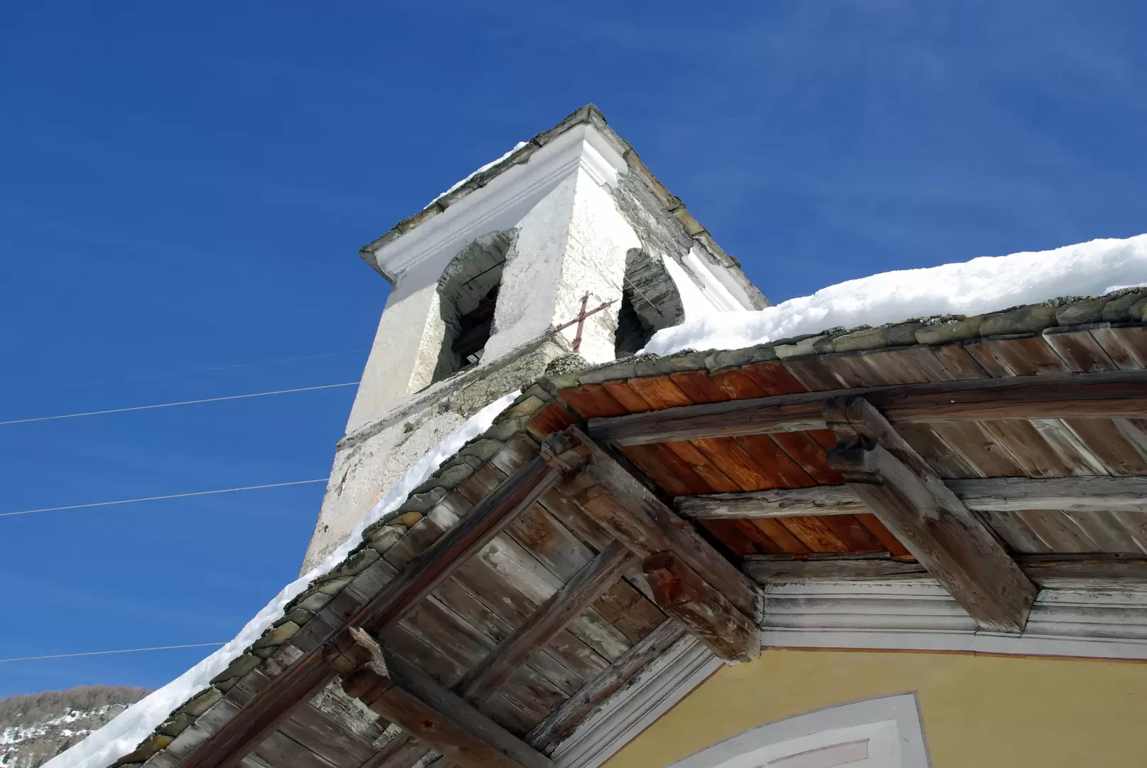
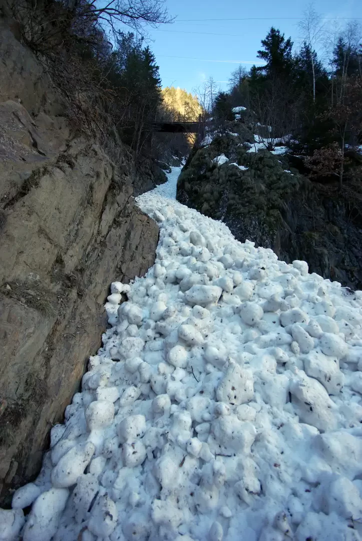
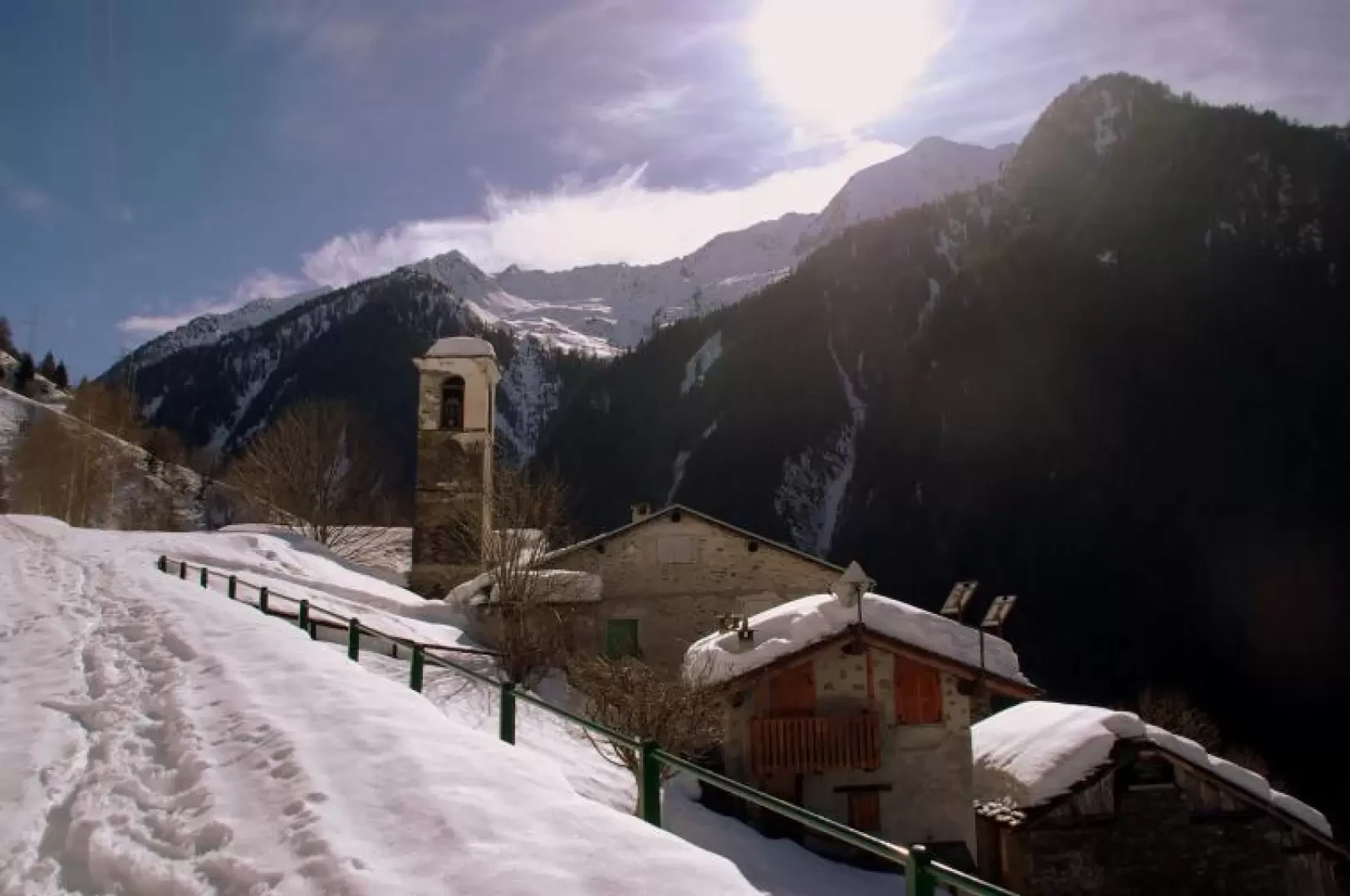
From the highest point of Fusìne 298m, at the first of the yellow signs of the Comunità Montana, the beautiful paved mule track quickly rises up the chestnut grove with wide hairpin bends; it often overlaps streams channelled into gore, which once carried water from the mountain to the wheels of the forges. At a crossing of the carriage road, we pass the Church of the Madonna delle Selve (locally known as the "Madonnina") 552m, then continue through meadow clearings to the baite delle Piane 667m, where we change direction and cross to the right into the groove of the lower Valmadre. The tree vegetation changes to essences of damp and shady terrain: from chestnut trees we move on to beech trees and then to silver firs. The route continues in a constant but comfortable ascent halfway up the narrow and deep valley: the most exposed points are protected in the valley by a metal handrail, but - looking out - it is possible to see the protruding and perforated stones that served as supports for the older wooden posts. One arrives at the Dosso di Sotto huts 975m (possibility of climbing back up to the carriage road) and continues towards the most artificial section of the mule track: very high dry-stone walls support the paving, which widens upwards into the mine-cut wall; one crosses various valleys filled with avalanche snow compacted by the fall and with a final climb arrives at the Pizzabella district 1158m. From here, we climb back up to the carriage road and walk a few hundred metres to the main village of Valmadre 1195m, characterised by the 16th century Church of San Matteo. All around, on the various terraces that were once cultivated, you can visit the other districts of Valmadre, which until a few decades ago were inhabited all year round. For the return journey, it is best to take the carriage/forest trail, which - shadier and more sheltered - remains snow-covered at least up to an altitude of 800m.
Galleria fotografica