Tsa de Fontaney, from Lignan

Edited by:
Massimo Martini
Updated at: 15/03/2025
Access
Lasciare lo svincolo autostradale di Nus e svoltare a sinistra, immettendosi sulla strada statale . Dopo 850 metri, al semaforo, svoltare a destra seguendo le indicazioni per la strada regionale di Saint-Barthélemy e, poco prima del centro storico di Nus, girare a sinistra. Proseguire lungo la strada regionale, superando i villaggi di Petit-Fénis e Blavy. Dopo 14 chilometri, si incontra un bivio in corrispondenza di una curva: svoltare a sinistra e continuare in direzione Lignan. Oltrepassare il villaggio di Issologne e raggiungere Lignan dopo 17 chilometri. Di fronte alla chiesa parrocchiale si trova un parcheggio 🅿️, spesso pieno; in caso di assenza di posti disponibili, è possibile tornare indietro di circa 100 metri, dove sulla sinistra si trova un altro parcheggio 🅿️ gratuito.
Distanza e tempo di percorrenza
🕒 Tempo di percorrenza: 26 minuti
📏 Distanza: 17,90 km
Navigazione GPS
📍 Come arrivare con Google Maps
📍 Come arrivare con Apple Maps
Nota importante
Le indicazioni fornite sono state verificate alla data del rilievo dell’itinerario. Prima della partenza, è consigliabile verificare eventuali variazioni del percorso. Per ottenere indicazioni aggiornate e dettagliate, si consiglia l’uso di Google Maps o Apple Maps.
Introduction
The Tsa de Fontaney can be reached from Larset or, with a little more elevation gain, from Lignan. The long climb up the sunny slope is rewarded by the last moments: an immense white sea among the peaks of the Aosta Valley.
Description
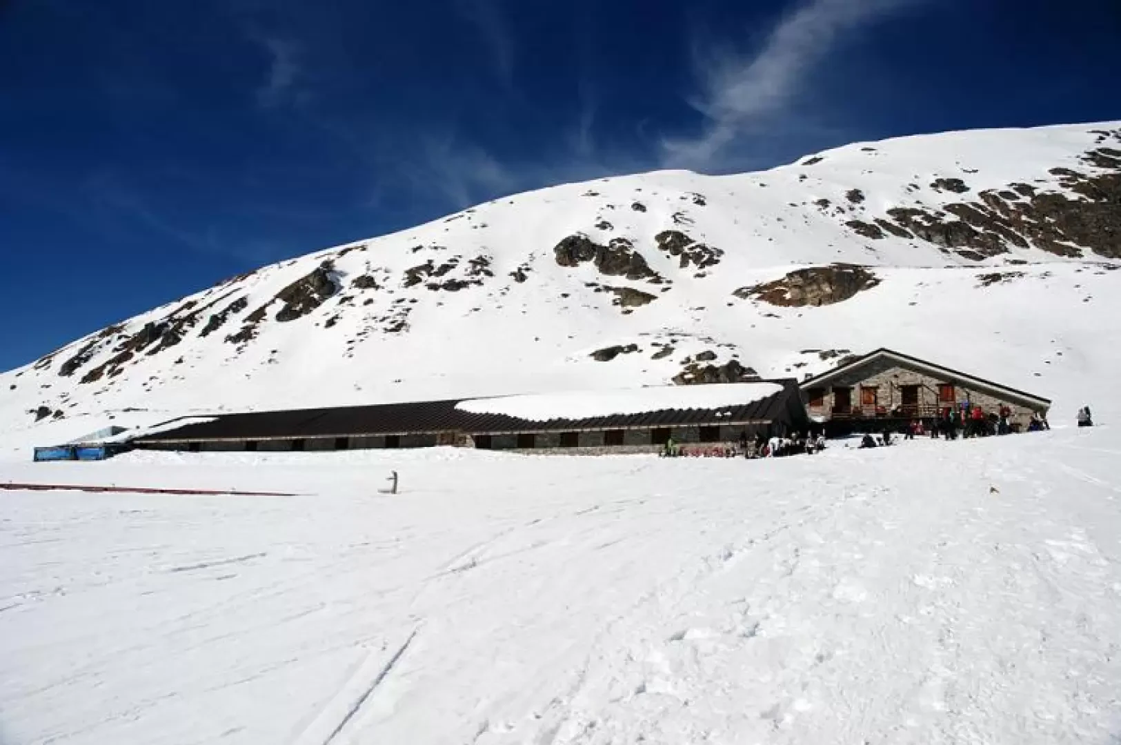
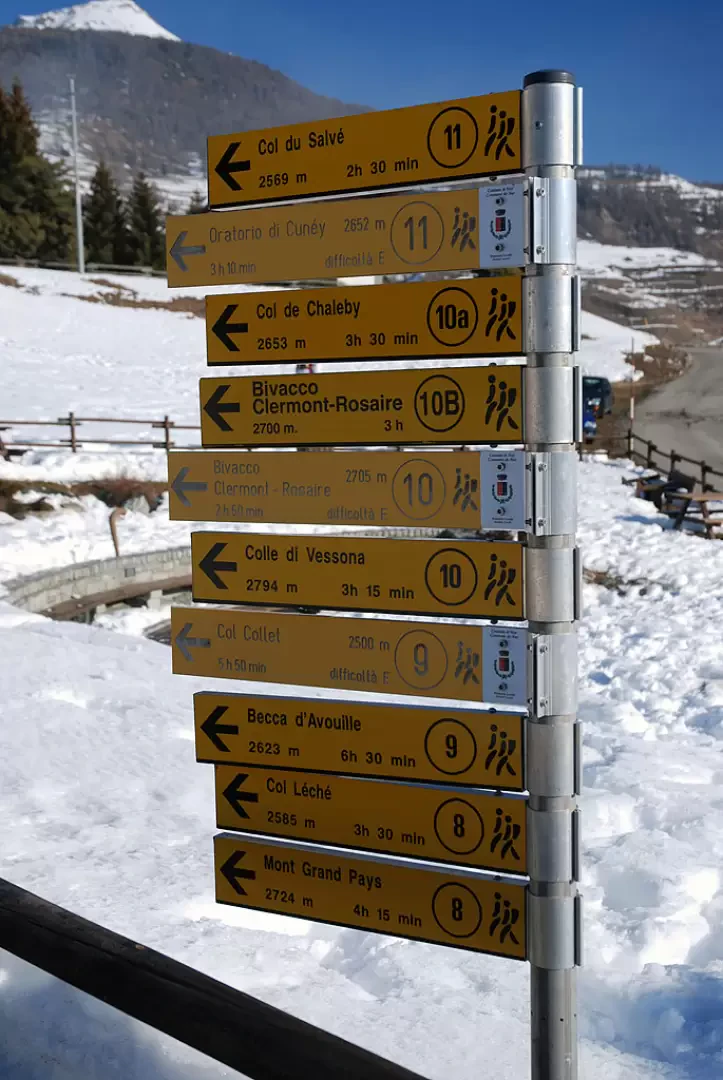
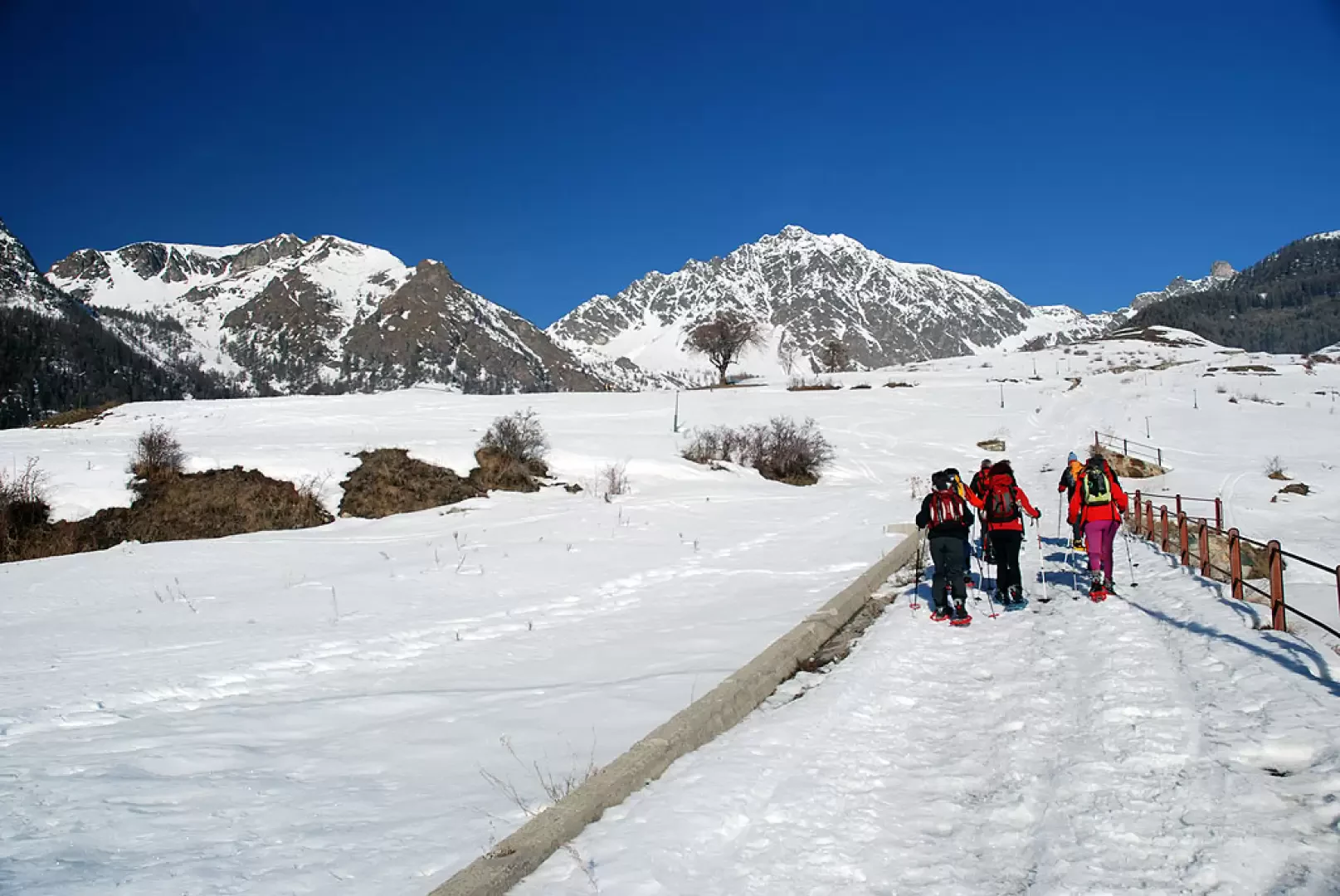
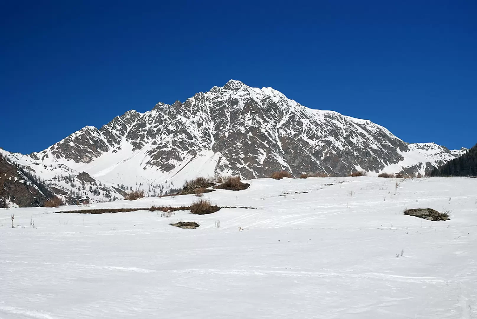
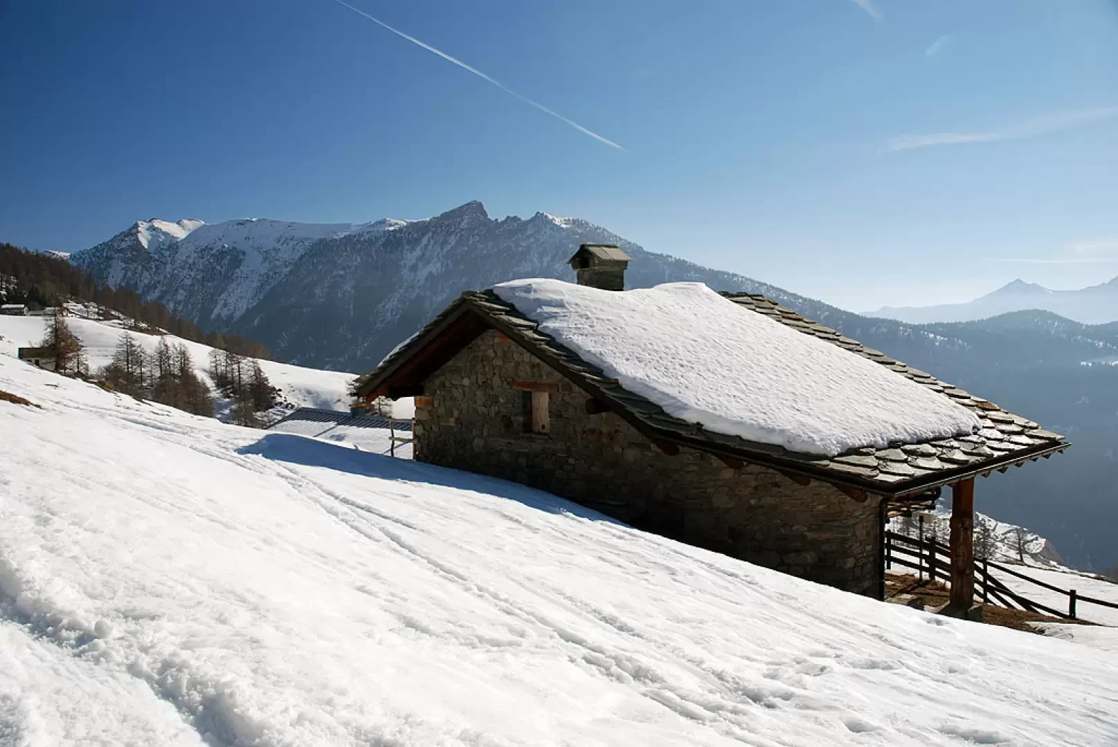
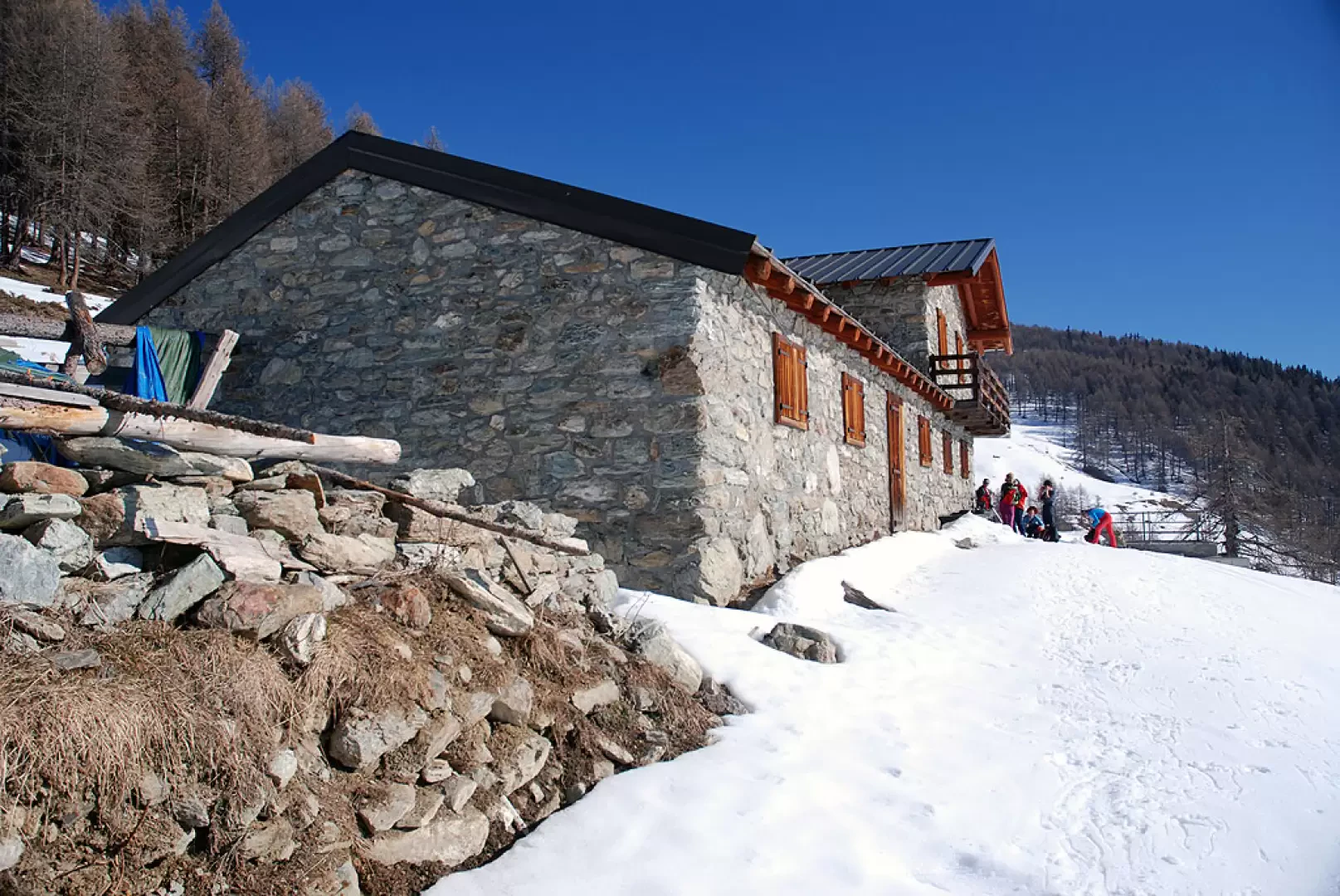
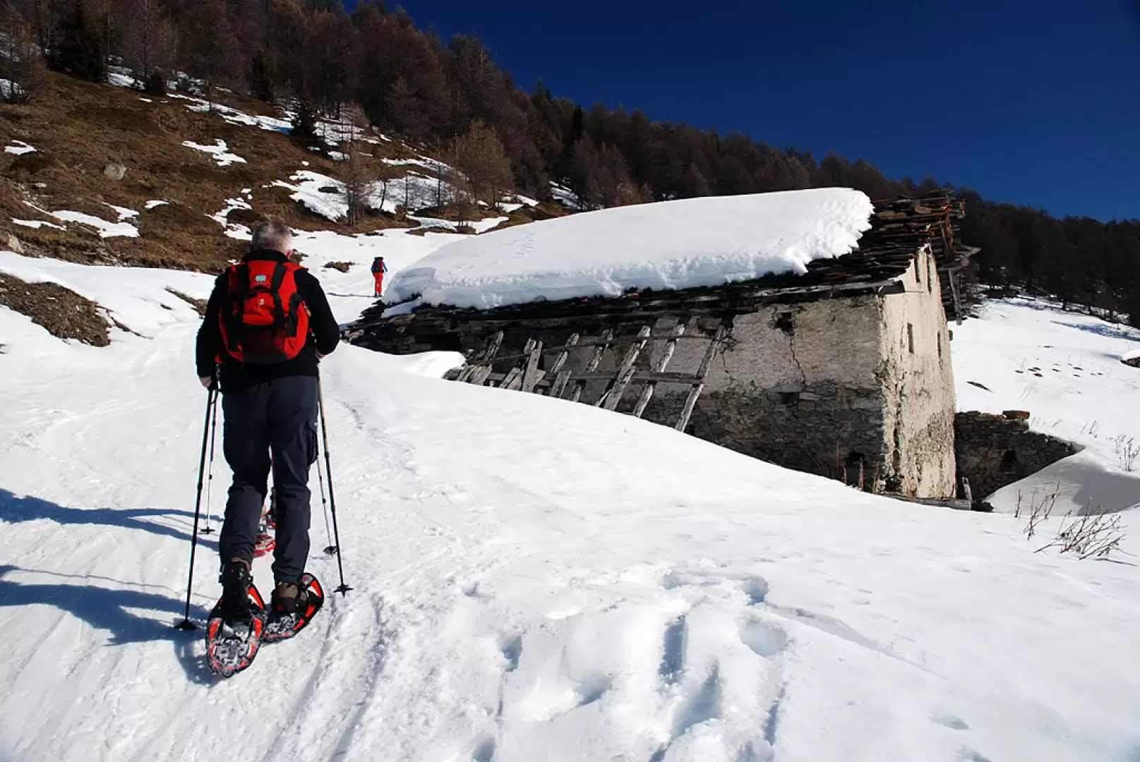
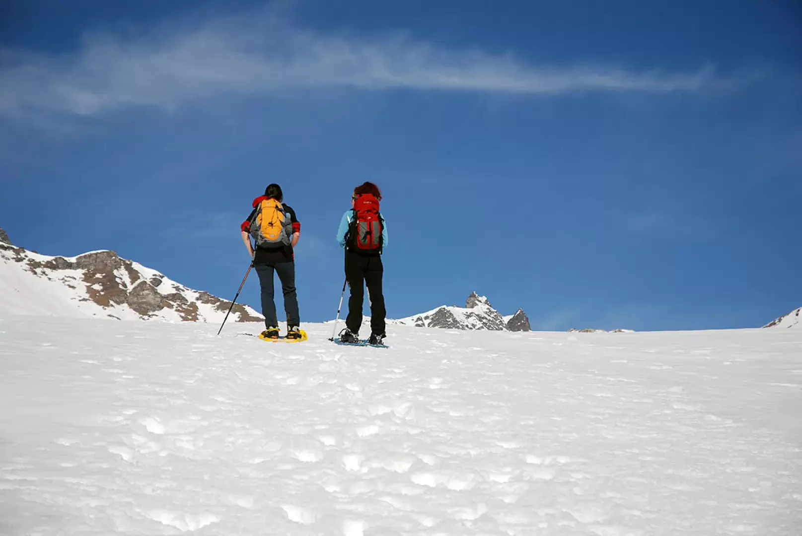
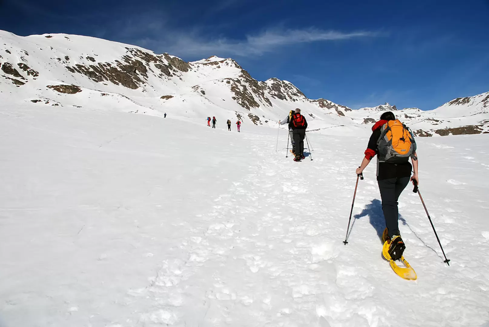
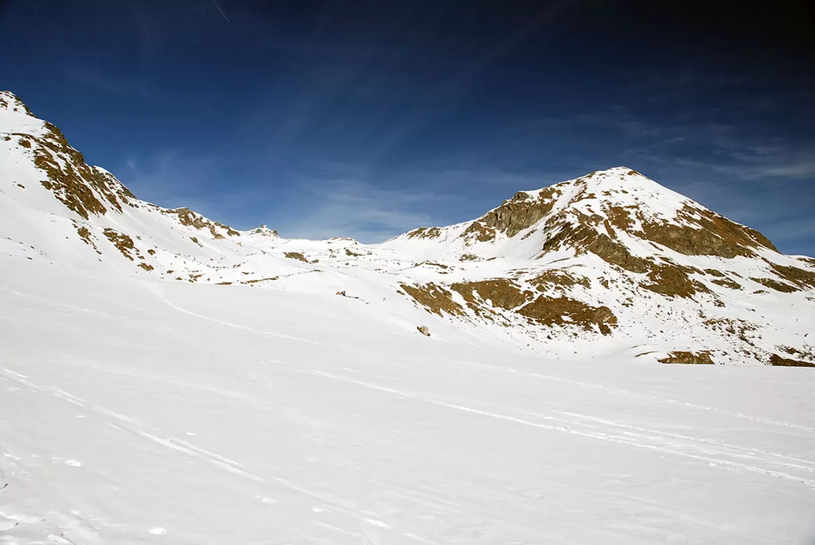
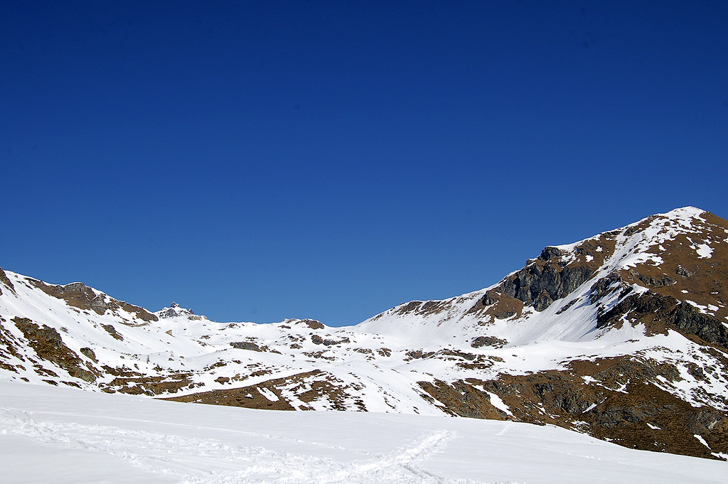
Take the little road that leads to the Aosta Valley Astronomical Observatory. Having passed the signpost indicating the main itineraries departing from Lignan, one ascends the 'path of the planets', i.e. the short stretch of road leading to the observatory accompanied by a series of explanatory panels dedicated to the planets of the solar system. After the short 'planetary' hike, the little road becomes a snowy track and begins to climb the sunny slope above Lignan. We pass a slight knoll as the interesting south-east face of Mont Faroma emerges in front of us; after a less intense climb, we reach a shack (where a track to the Comba de Chaleby starts). The first alpine pastures of Place are encountered and the route begins to climb again with some vigour. Pass the renovated cottages of Place de Meiten (1872m) and start climbing the snowy slope again, skirting the larch forest until reaching Mayes (1992m, 1h00'). Continue by entering the forest with a diagonal turn to the right. After crossing the forest, you soon reach the ruins of Fontaney (2087m, 1h15'). Continue diagonally to the right, passing a second wooded strip until reaching the edge of the beautiful snow-covered pastureland: turn left and pass the last solitary larch trees before plunging into an environment of unique beauty, a white sea at the foot of Mont Morion. One ascends the slope in the direction of a signpost immersed in white: from here one turns slightly to the left and, after a few bumps, the mountain pasture appears before the hiker. A final short effort and you reach the Tsa de Fontaney (2307m, 1h45').
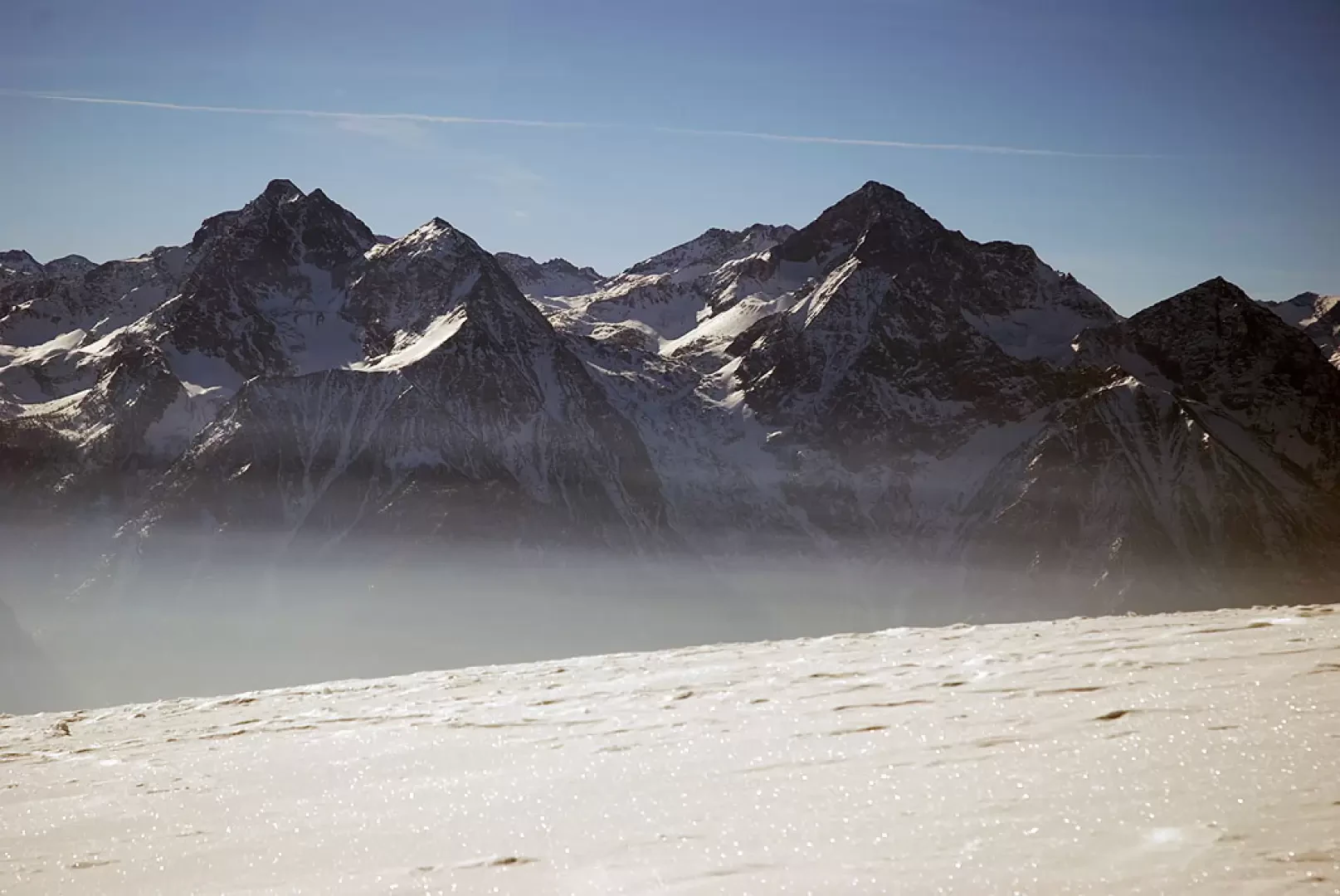
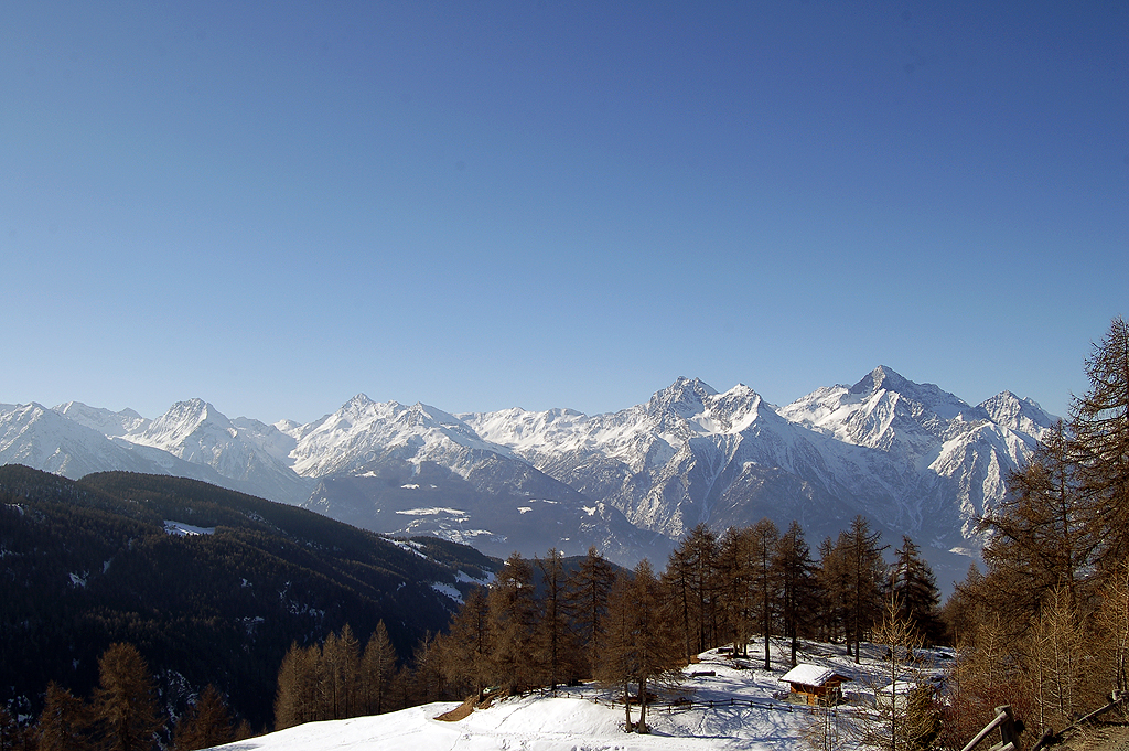
From the mountain pasture, you can enjoy a very interesting panorama: from the beautiful backlit profiles of the Mont Emilius and the Becca di Nona, to the glacial peaks of Monte Rosa: 270 degrees of mountain! l
The return is along the same route as the outward journey (1h15').
Riferimenti Bibliografici
- Tracce Lievi - Martini Massimo -
Galleria fotografica
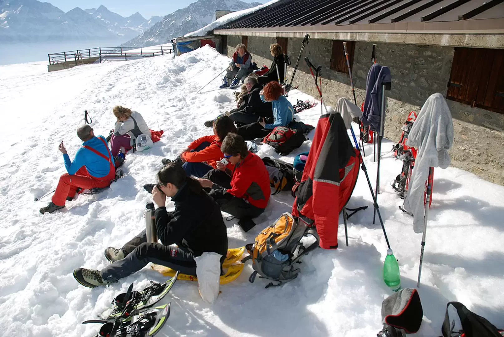
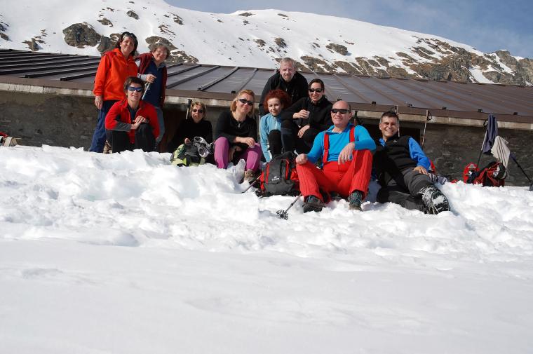
We have been there

Edited by:
Ivo Giansetto
Tsa de Fontaney
Prima parte nel bosco neve scarsa con dei tratti inesistente. Seconda parte con neve praticabile anche senza ciaspole ma con piede sicuro. Dall'uscita del bosco alla Tza abbastanza neve. All'alpeggio resiste ancora mezzo metro di neve. Il traverso subito dopo la Tza transitabile tranquillamente. Nessuna persona incontrata.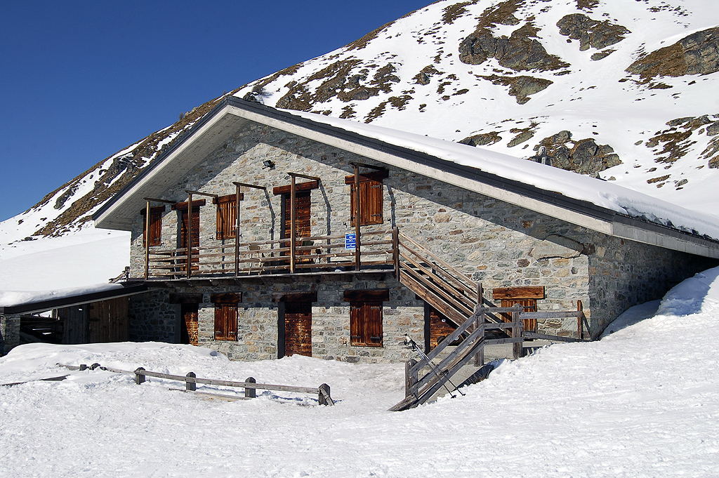
Edited by:
Ivo Giansetto