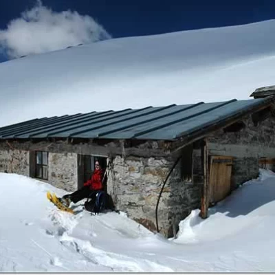
Tramail des Ors, from the municipal road to Planaval
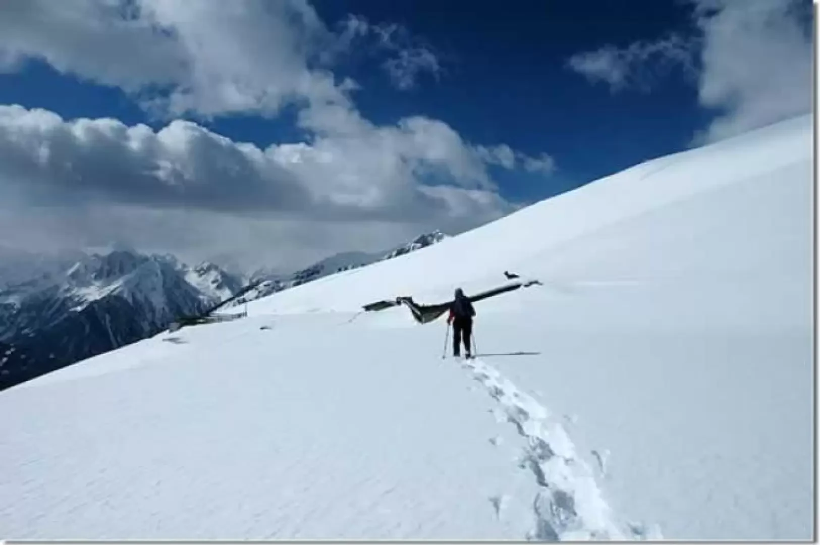
Introduction
The Tramail des Ors is an extremely attractive destination. The snowy expanses above the Les Ors alpine pastures represent a pleasant moment of contact with the mountains in winter: for this reason, the ascent to Col Fetita is to be considered a classic ski mountaineering itinerary.
Description
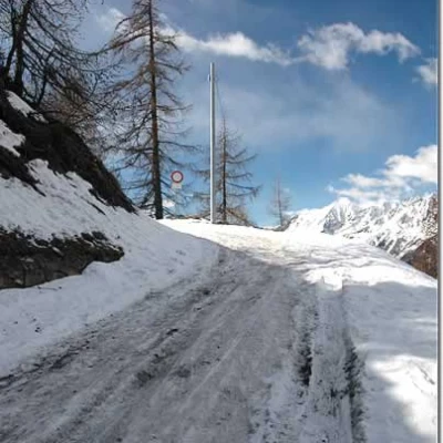
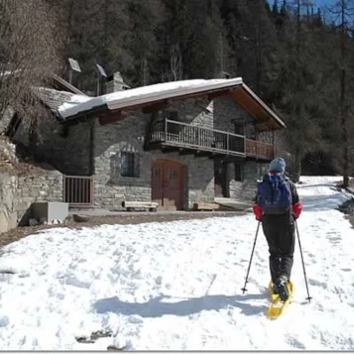
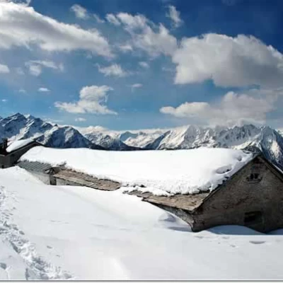
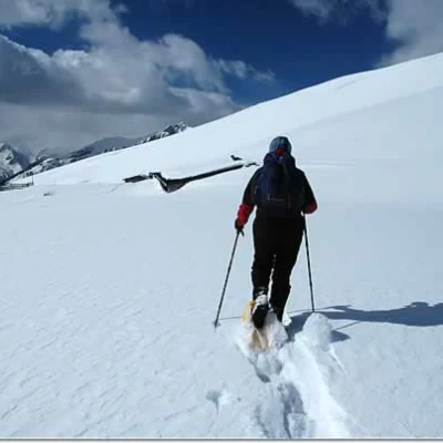
Leave the car in the last of the car parks (10 km from the junction for La Salle) and continue, snowshoes in hand, for about 150 m until you come to a small farm road that branches off to the right: take it and start to proceed wearing snowshoes. The first stretch, slightly uphill, proceeds almost in a straight line to the La Lié hut (1798 m, 0h10'). From the hut, the route begins to gain altitude with a series of hairpin bends that enter into a beautiful forest of larch and spruce; during the ascent we meet some restructured huts while in front of us appears the imposing pyramidal silhouette of the Aiguille de Chambave (3087 m). Neglecting some tracks that you meet on the right, you gain height, quickly reaching 2000m near Plan Bellard. The forest now thins out and you reach the snow-covered pastures below the alpine meadows: just a few more minutes and you arrive at Les Ors Desot (2100m, 1h15').
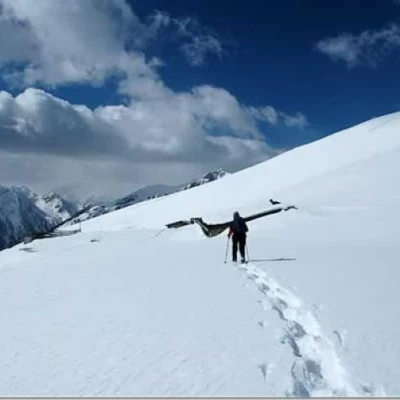
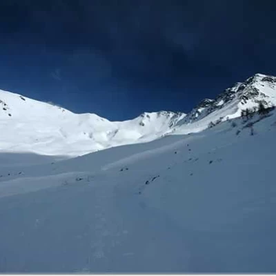
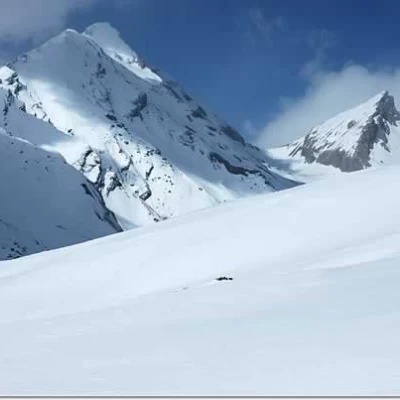
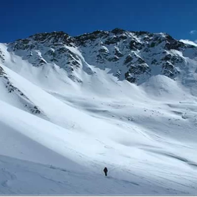
Leaving the alpine meadows, head right until you reach the track that corresponds to the farm road: head north-east towards the Tête des Fra, crossing a slope halfway up the hillside until it joins the splendid snowfield below Col Fetita (2557m). We now begin to climb the beautiful snowy slope, keeping slightly to the right of the slope of the Pissorio stream. Along the ascent, one can enjoy a privileged view of the sharp peaks of the Grande Rochère (3326 m) and the Aiguille de Bonalex (3201 m). We follow the wide snowy expanse to the foot of the attack for the col Fetita; here we turn sharply to the left and walk almost level for the distance that separates us from Tramail des Ors (2390 m, 2h30').
The descent follows the same route as the ascent (1h30').
Inform yourself well about the snow and weather conditions before embarking on the route: up to Alpe Les Ors there are no particular problems, but the snowy slopes below Col Fetita should only be tackled in settled snow conditions.
.Riferimenti Bibliografici
- Tracce Lievi - Martini Massimo - Martini Multimedia Editore, Saint-Vincent, 2007
