Tour of Mande
Introduction
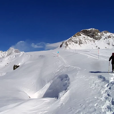
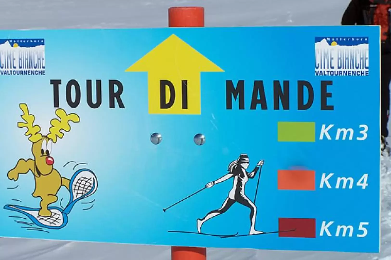
This excursion allows you to visit, in winter, the numerous alpine pastures of the upper Manda area, above Valtournenche. The excursion can also be made by ascending directly with the cable cars from Valtournenche and starting from La Salette, almost completely eliminating the difference in altitude, but at the same time also the suggestion of ascending through the forest. The tour consists of three routes, of 3-4-5 kilometres respectively, and the longest is described here, which is undoubtedly also the most complete and rewarding from a landscape point of view.
Description
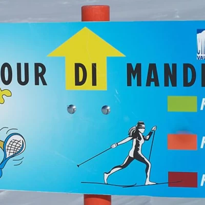
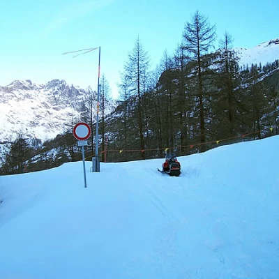
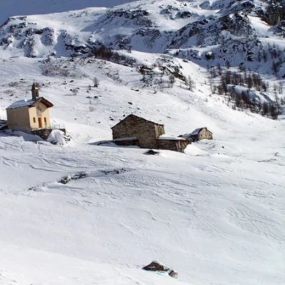
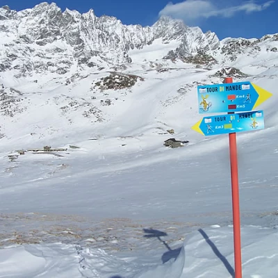
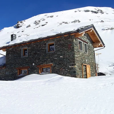
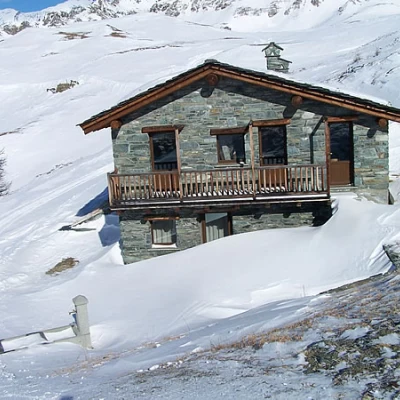
You cross the barrier and immediately find yourself crossing, with due care, a ski slope to find, near a ruin just opposite, the wide track that leads into a larch forest. You will soon reach Plan du Bois desot where, near a post, you will find a fork in the path and take the right-hand branch off, continuing into the forest until you reach the ski slope again: this time you will skirt it for a short distance and take the track to the right of it. After a couple of bends, we cross it again for the second and last time, heading towards a small wooden bridge and shortly afterwards we pass by the Bois Noir mountain pasture and, after a few bends, by another stone building. The climb, which is never steep, now leads us towards the end of the forest, where we pass not far from the Illiaz mountain pasture and then skirt the Plan du Bois damon pasture. Shortly afterwards, still following the obvious track, we pass a couple of hairpin bends with a somewhat steeper incline and, at the end of a flat section, we reach the Oratoire de Notre Dame de la Salette (2203m). Here, instead of continuing along the slope, it is better to go up the slope to the left that takes us to the ski slope and, skirting it, go up it to the arrival of the gondolas. On the large panel with the map of the ski area, there is the first signpost of the tour, which directs us downhill towards the start of the Motta chairlift; we skirt the slope for a short distance, then turning slightly to the left (pole) and heading towards some bumps, which we overcome, at the points of lesser gradient, with some ups and downs. You reach a junction with the 3km loop marker, cross it in the direction of the Cleyves de la Seyvaz alpine pasture below (2350m), making a semicircle to the right and then, after passing the second marker of the 4km loop, pass behind the longest building to soon reach the Verser alpine pasture (2299m), the high point of the tour loop: the view over the lower Valtournenche and the mountains of the lower valley is, needless to say, breathtaking.
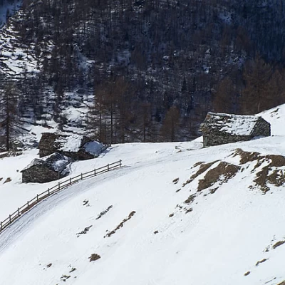
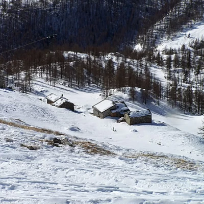
For the return walk, we head to the right, descending a little (stake) and, glancing down, we can see the Mandaz desot alpine pasture. Then you ascend slightly in the direction of Roisetta until, after passing a post, you reach two stone huts; you pass them and pass the Mandaz damon pasture and then the Molnar pasture. Now, after a very short ascent at the top of which you can see the lifts, you descend decisively until you reach the Motta chairlift again and after a short ascent you reach the starting point of the tour at the large map board. From here, the descent is made by retracing the ascent route.
The only caution to be observed is when crossing the ski slope at points where it is rather steep and any skiers could descend at a high speed.
