Entrelor Peak, from Bruil

Edited by:
Giancarlo Beretta
Updated at: 20/10/2025
Access
You take the Turin-Aosta motorway and, having passed the Aosta east barrier, continue on the motorway to exit at the next tollbooth at Aosta west; take the direction for Aosta and, having reached the traffic lights on the main road, turn left to reach the town of Villeneuve where the junction for the Rhȇmes valley is on the right. Once past the village of Introd, turn right at a crossroads and follow the signs for Rhȇmes Notre Dame, which is reached after a few kilometres up the valley; once in the main town, parking is possible either in the convenient car park at the entrance to the village or just outside it, just before the cross-country ski track bridge, in the equally convenient underground car park.
.
Introduction
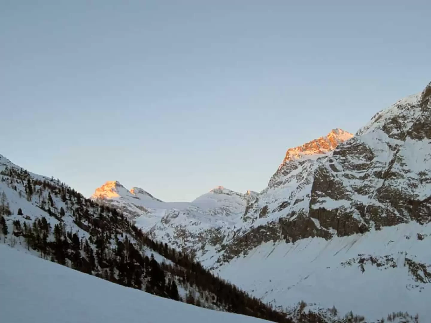
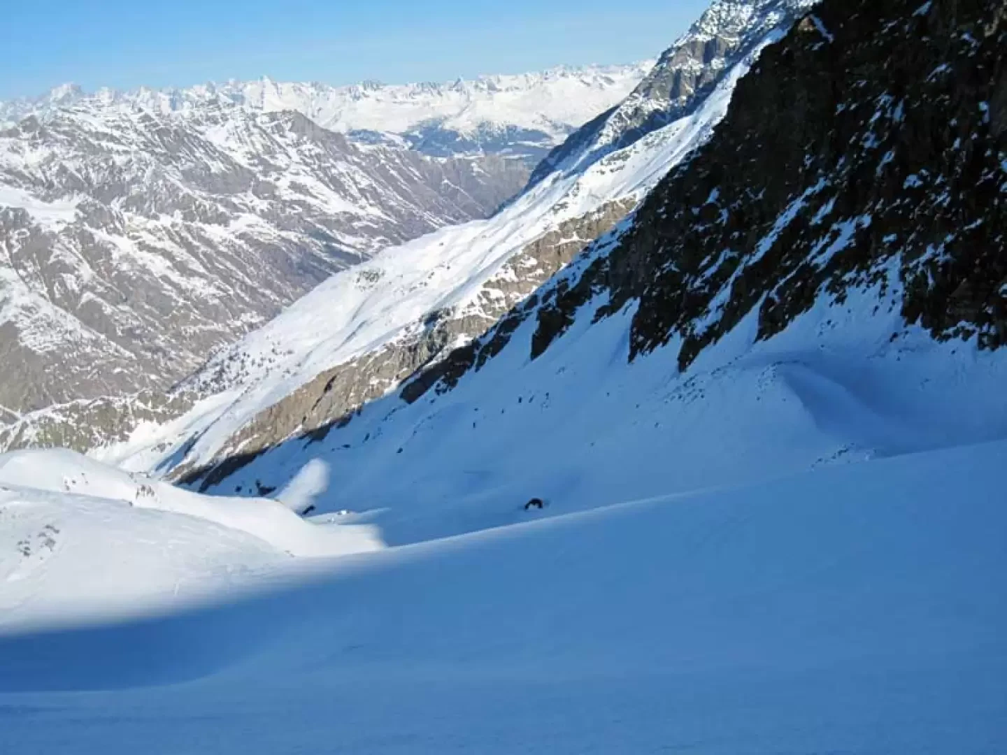
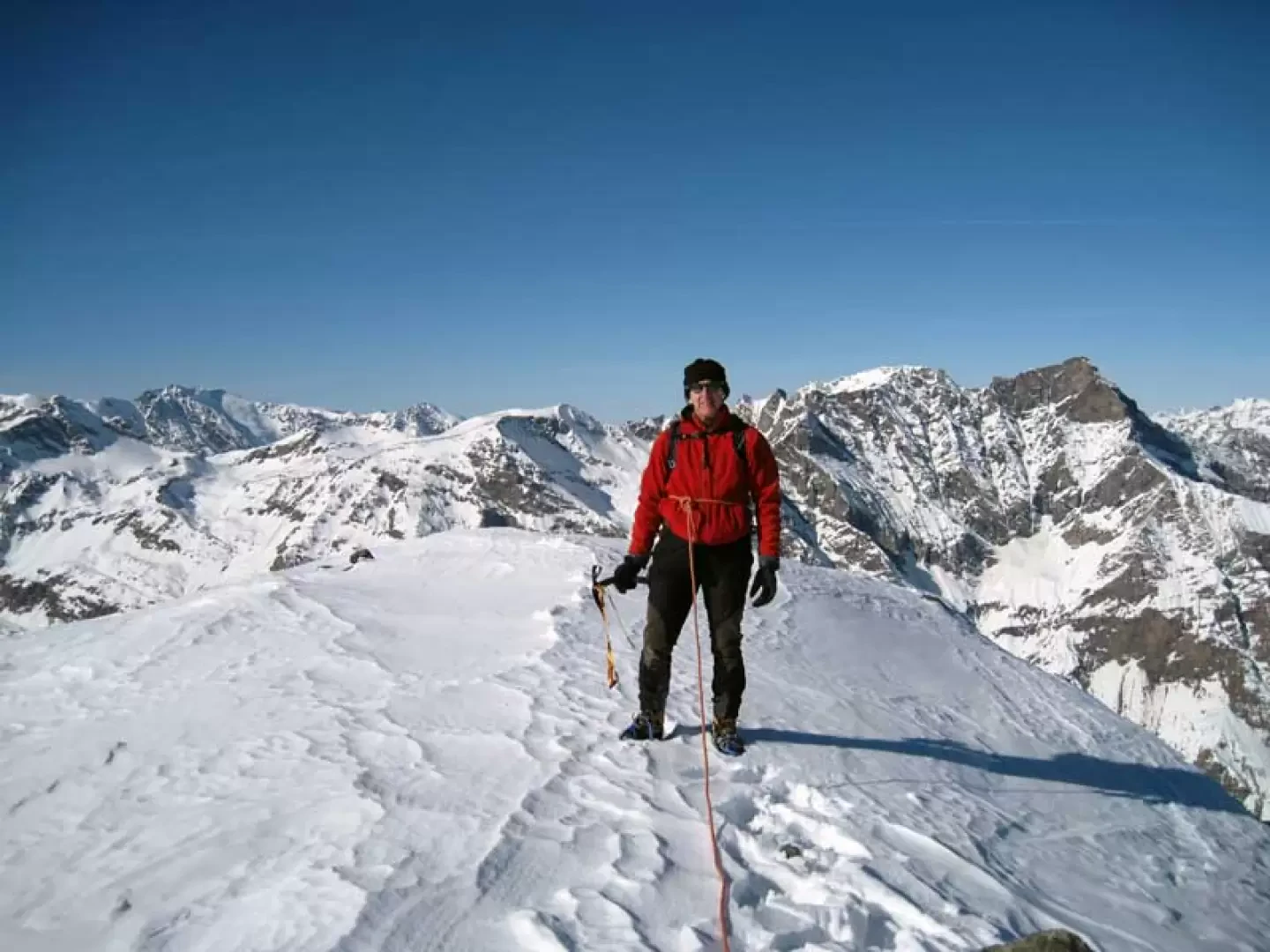
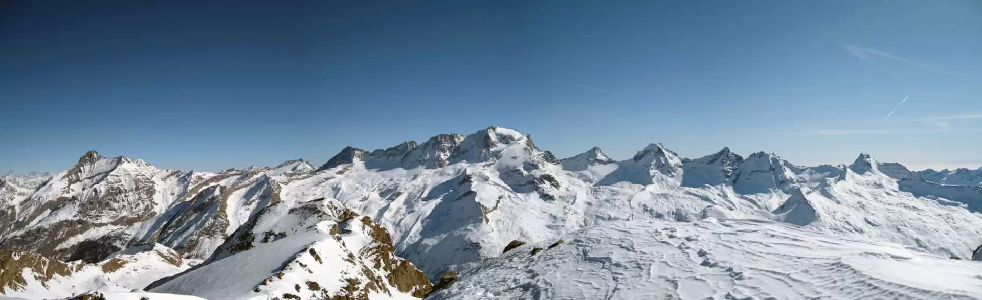
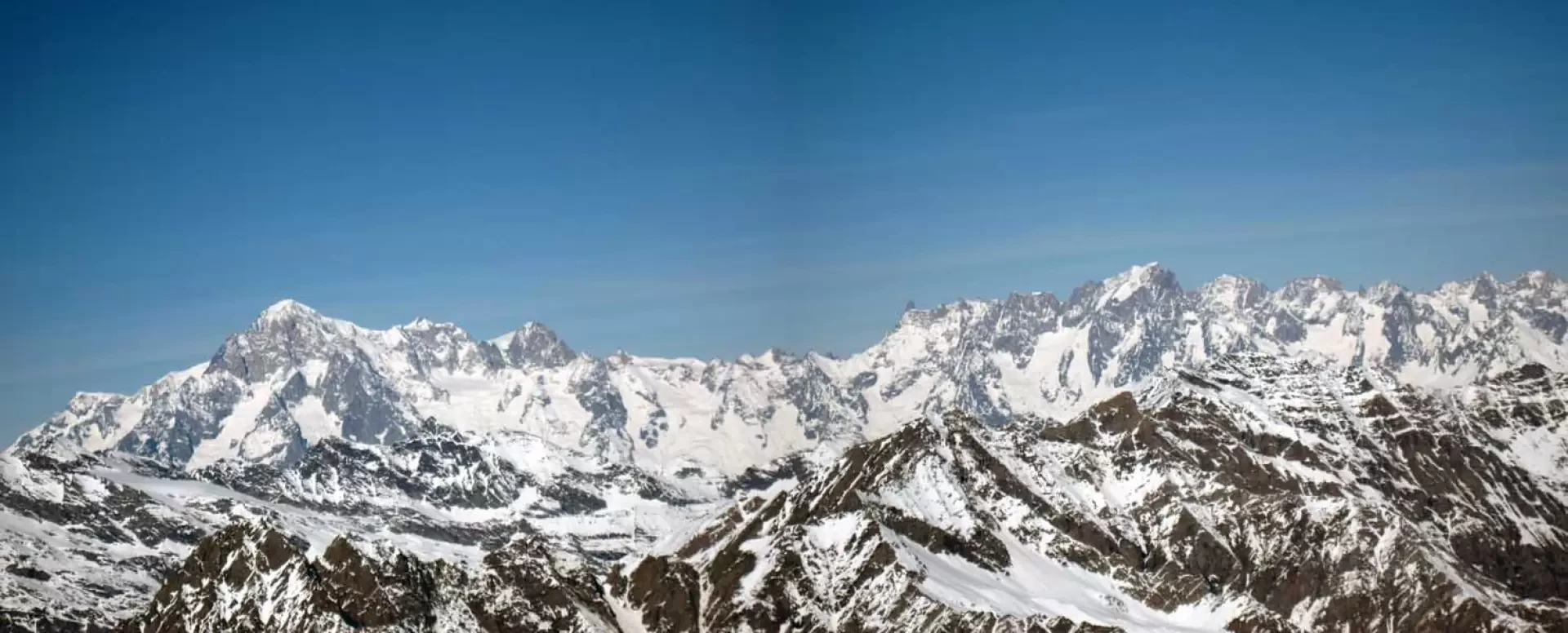
A very long and tiring climb for which you need to be well trained to tackle, in addition to the considerable height difference and length (more than 15 km), steep slopes and when you arrive already tired at the summit, where almost everyone stops, the descent and subsequent ascent of the very exposed rocky ridge on the Nivolet side and the final steep slope. For the ascent to this peak, there must be well-snowed conditions at the top, also because it takes place in a valley facing north and therefore always in the shade in the coldest months; in the case of recent snowfalls, from the Entrelor huts onwards, attention must be paid to the snow loads on the slopes where the blanket remains, due to its exposure, always powdery without compacting with the layers on which it rests. Lastly, the panorama from the summit is truly superb, sweeping 360° over the nearby Gran Paradiso group and the 3,000 and 4,000-metre peaks of the Alpine chain and the Aostan, Piedmont and French valleys.
Description
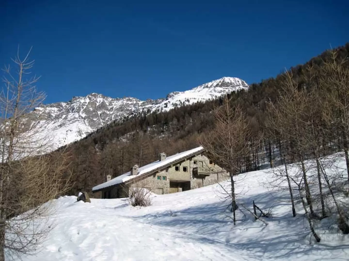
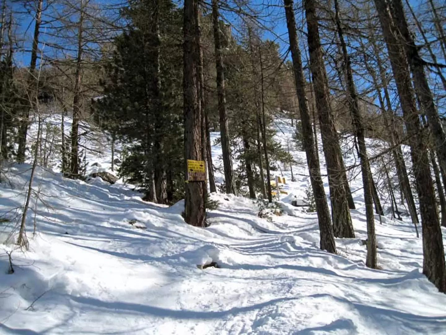
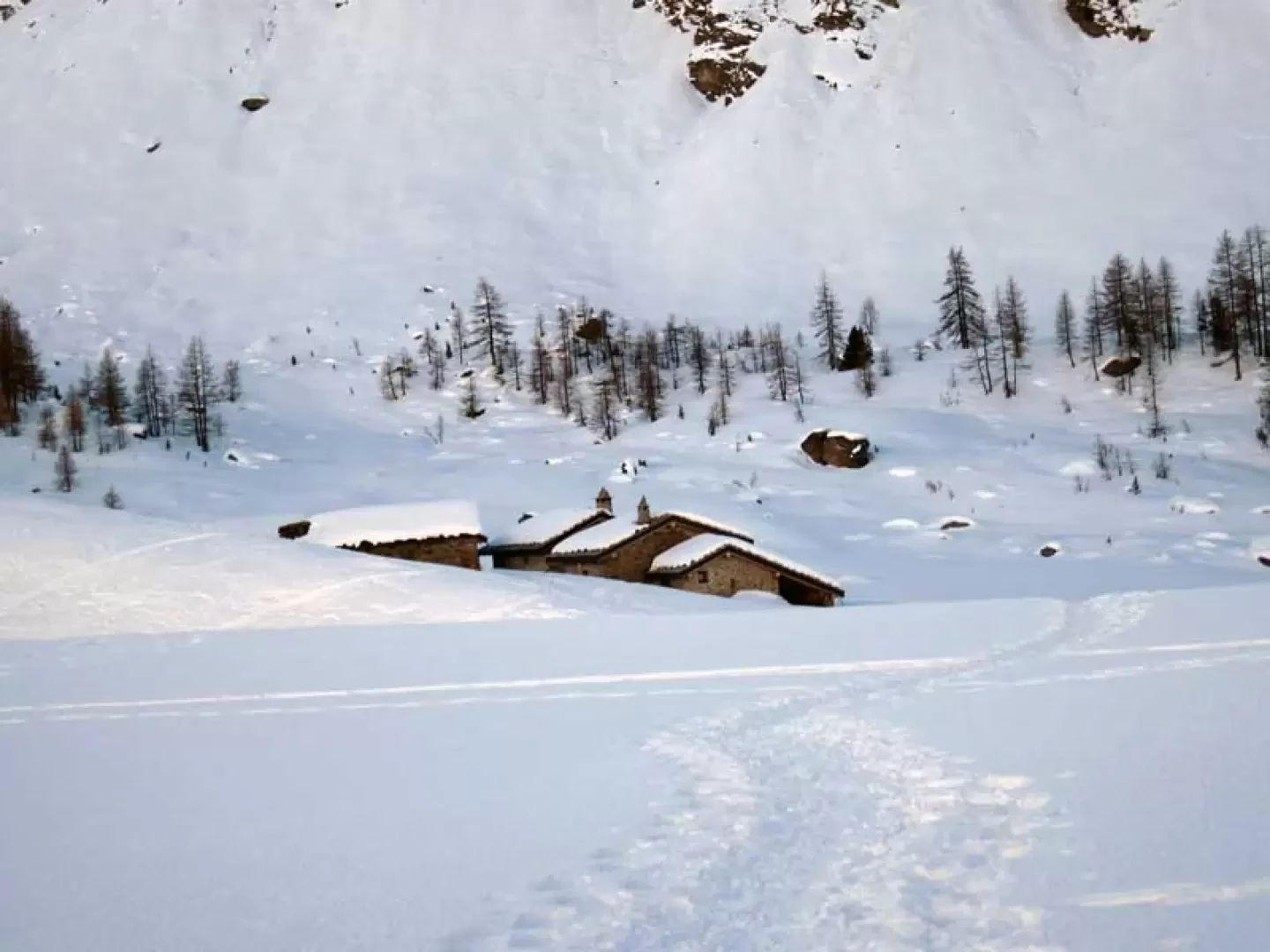
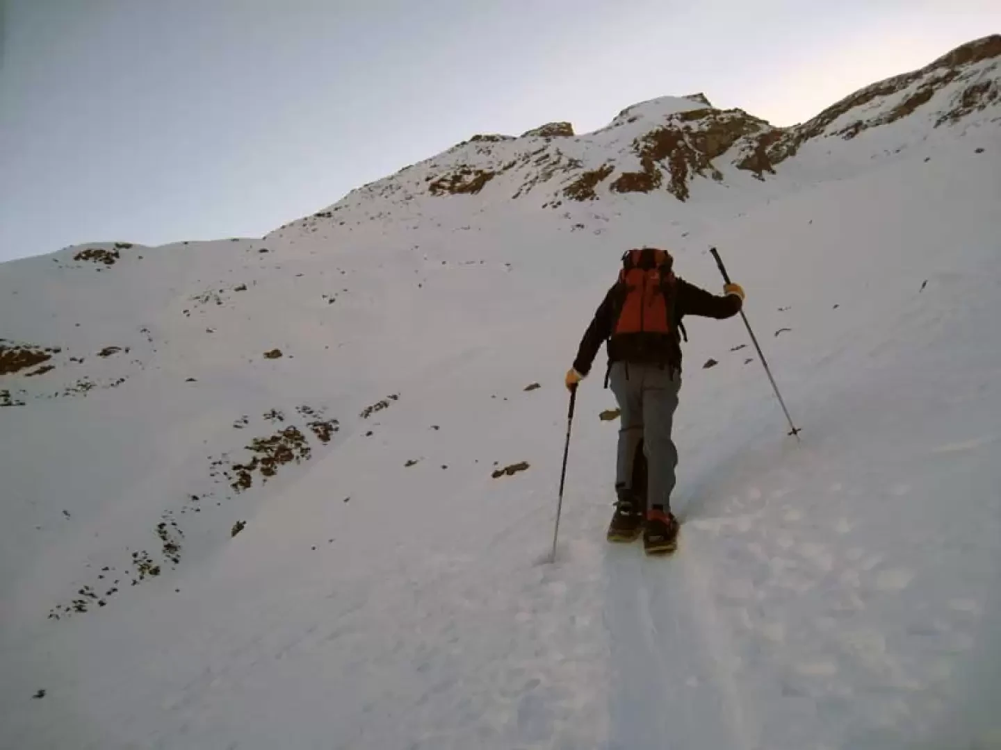
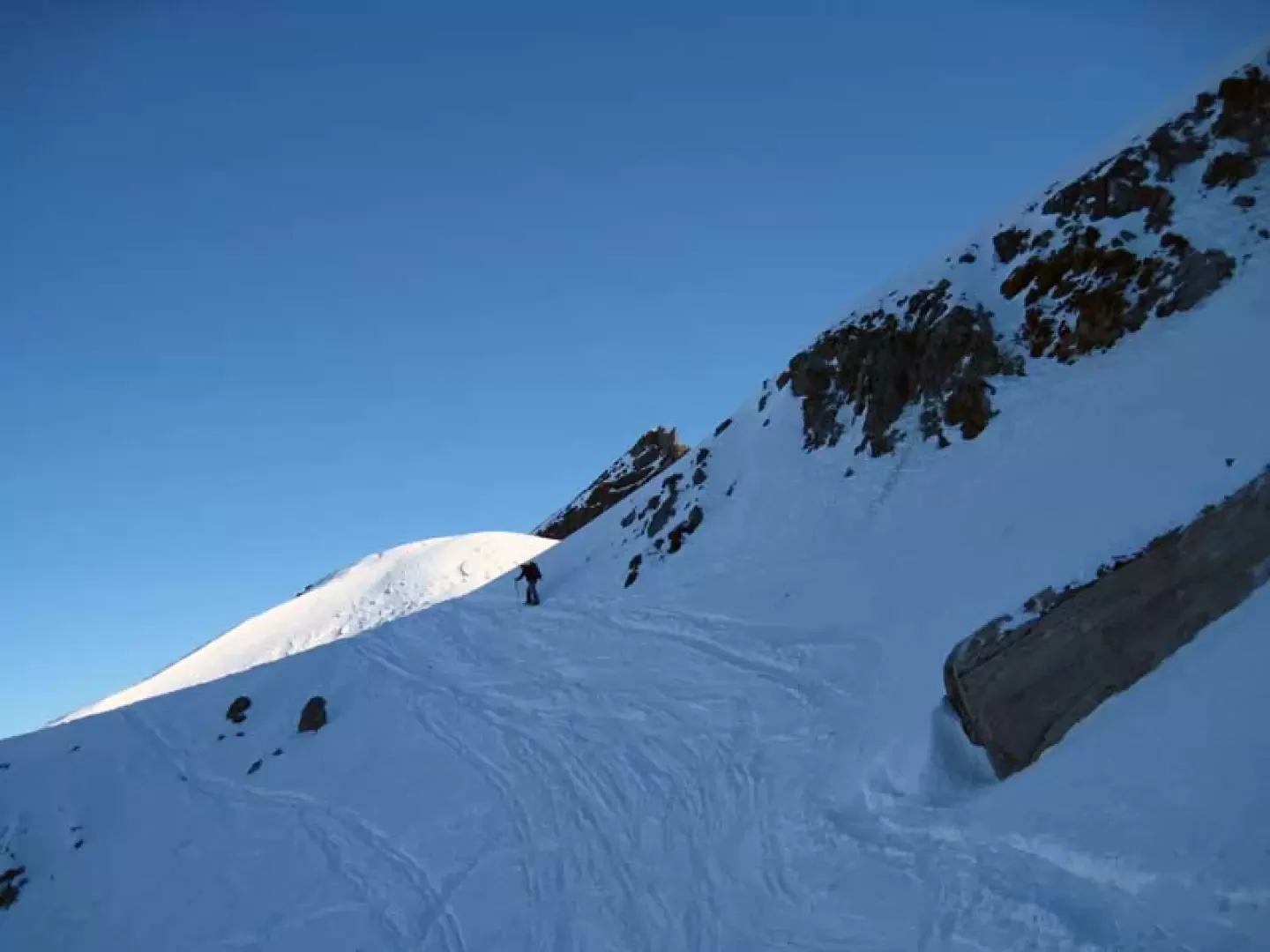
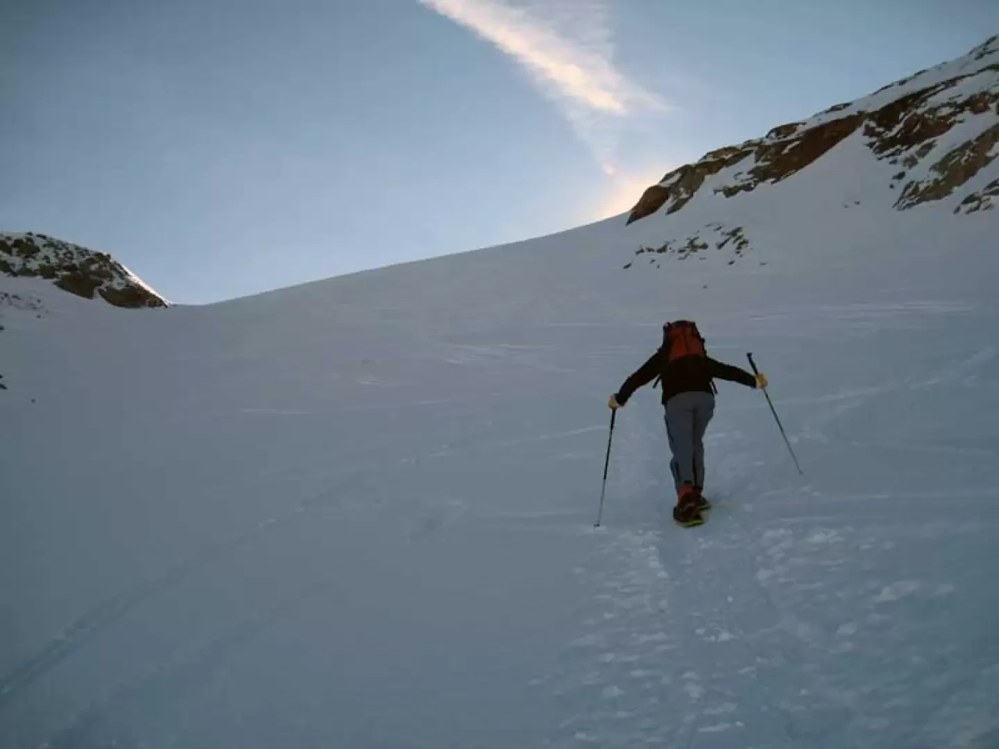
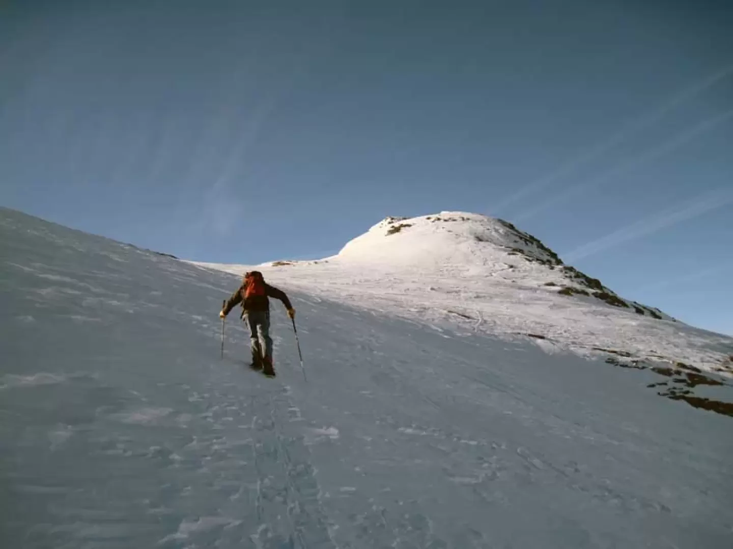
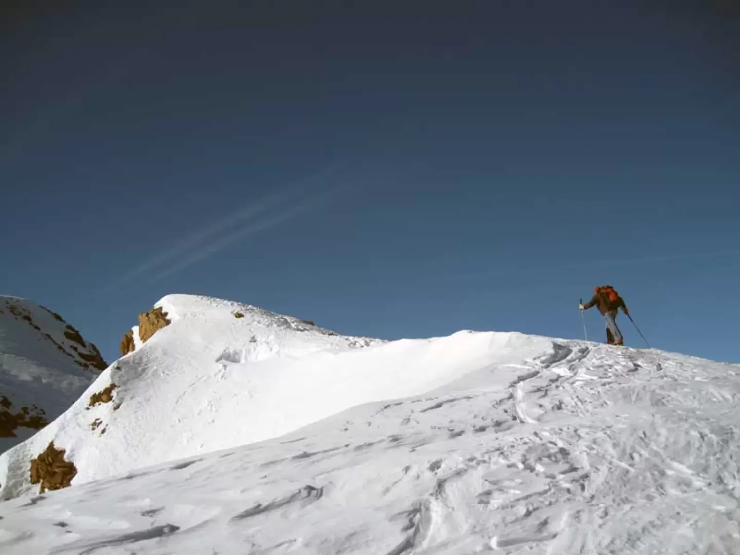
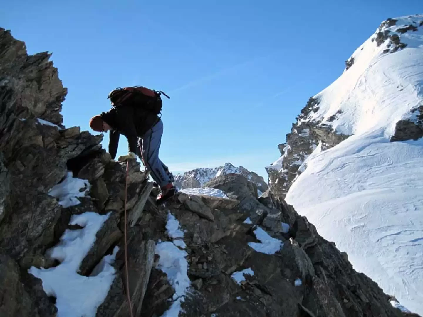
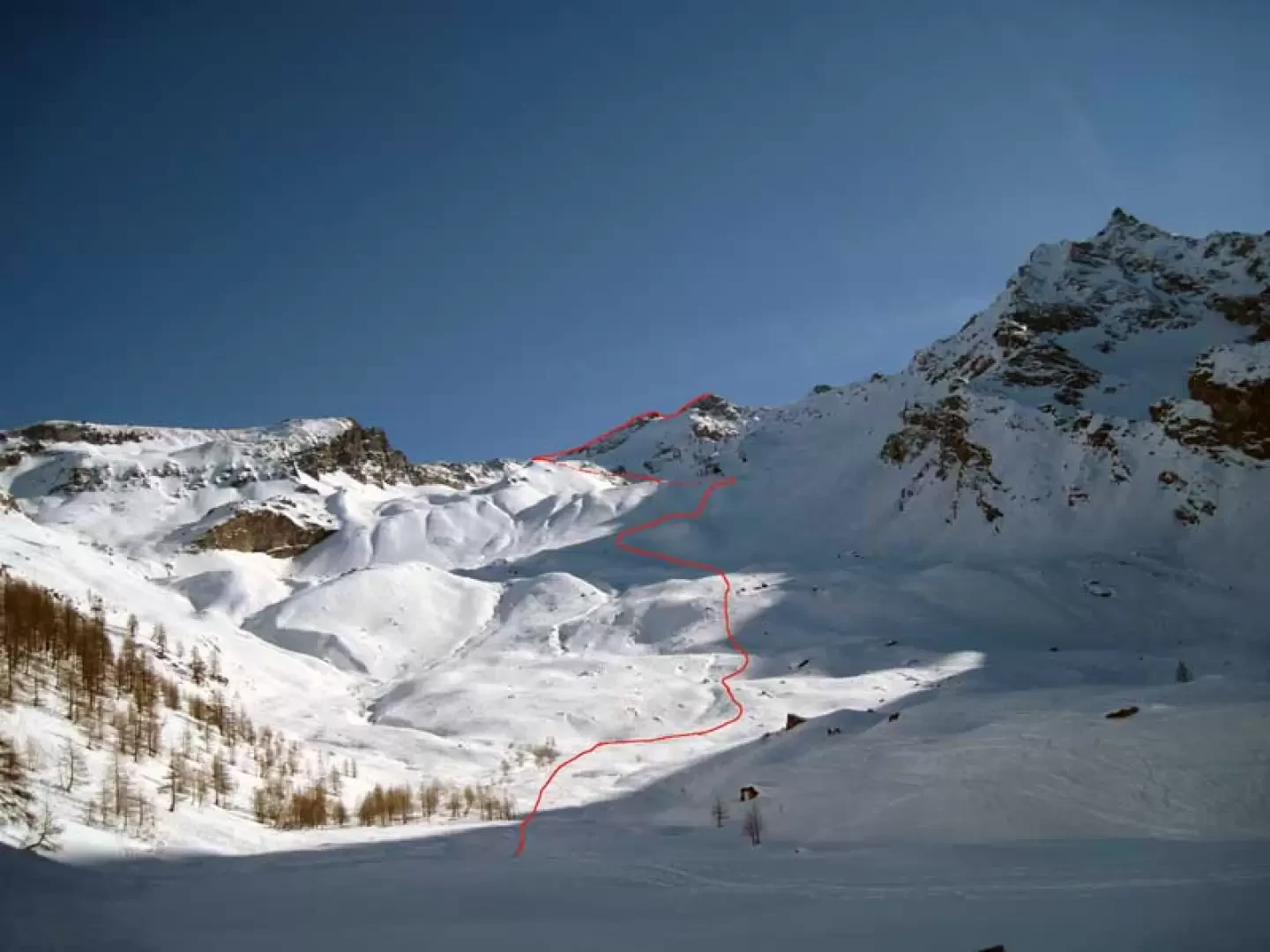
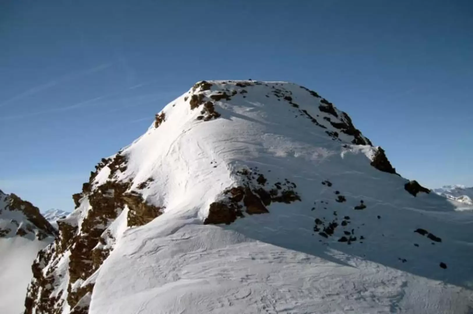
From the exit at the end of the underground car park, turn left and cross the bridge over the stream, climbing up the cross-country track to the right and, taking a few short cuts that cut across the few hairpin bends, you reach the Pra del Bosco huts, which you leave to the left to enter the woods, spotting a track that is almost always present. After climbing up a few hairpin bends, you come to a fork signposted by poles (1892 m), at which point you continue uphill to the right with numerous hairpin bends of varying gradient and, after a short stretch that is a little steeper, you come to a wooden cross located in a beautiful panoramic spot (2115 m). Remaining on the left, make a short traverse skirting the few trees and now continue on a false level, entering the wide valley, leaving a little distance to the Entrelor huts, which are located between the bumps on the right; from here, head towards the wide slope at the end of the valley to the right, walking on undulations of the terrain that do not present steep sections, passing a few hairpin bends at the points of lesser gradient. Continuing further on, you approach the slope, which becomes steep and, with a few zig-zags, climbs up a snowy promontory where the gradient decreases slightly, then moving slightly to the right to reach, under the looming slope of the Becca Tsambeina, the entrance to a small valley that rises to the left and that you cross with a traverse, arriving under a steep prominence. Go straight over the latter with a few steep hairpin bends to reach a small falsopiano where, further on with a last traverse that is a little long and exposed, you reach a small valley and turn right, entering another small valley where you find yourself in front of a wide, steep slope that is below the last offshoots of the small Entrelor glacier, the head of which can be seen a little higher up on the right. Continuing the ascent, you reach a fairly wide col (3275 m), at which point you turn right, heading towards the nearby peak, from the tip of which you can see the last slope in front of you that you have to climb to reach the summit. From this point, descend down a steep rocky ridge for about twenty metres (II°, exposed from the Nivolet side), reaching a notch from which the ridge up to the peak proper begins. From the notch, continue along the wide ridge pointing towards a small, low rocky band that can be climbed directly over or, if the cornice permits, around it to the left along a final steep section at the summit of which the summit cairn is located.
Galleria fotografica