Cima Piana, from Mont Blanc

Edited by:
Massimo Martini
Updated at: 13/12/2025
Introduction
In the lower Valle d'Aosta it is more regarded as a classic ski-mountaineering destination, in reality the route also lends itself well to snowshoeing, despite the steep final slope. Important panoramic views from the summit.
Description
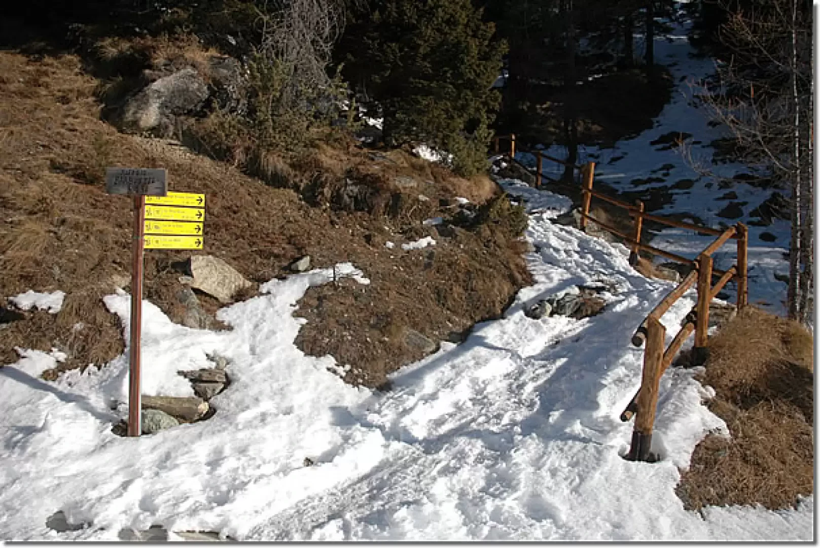
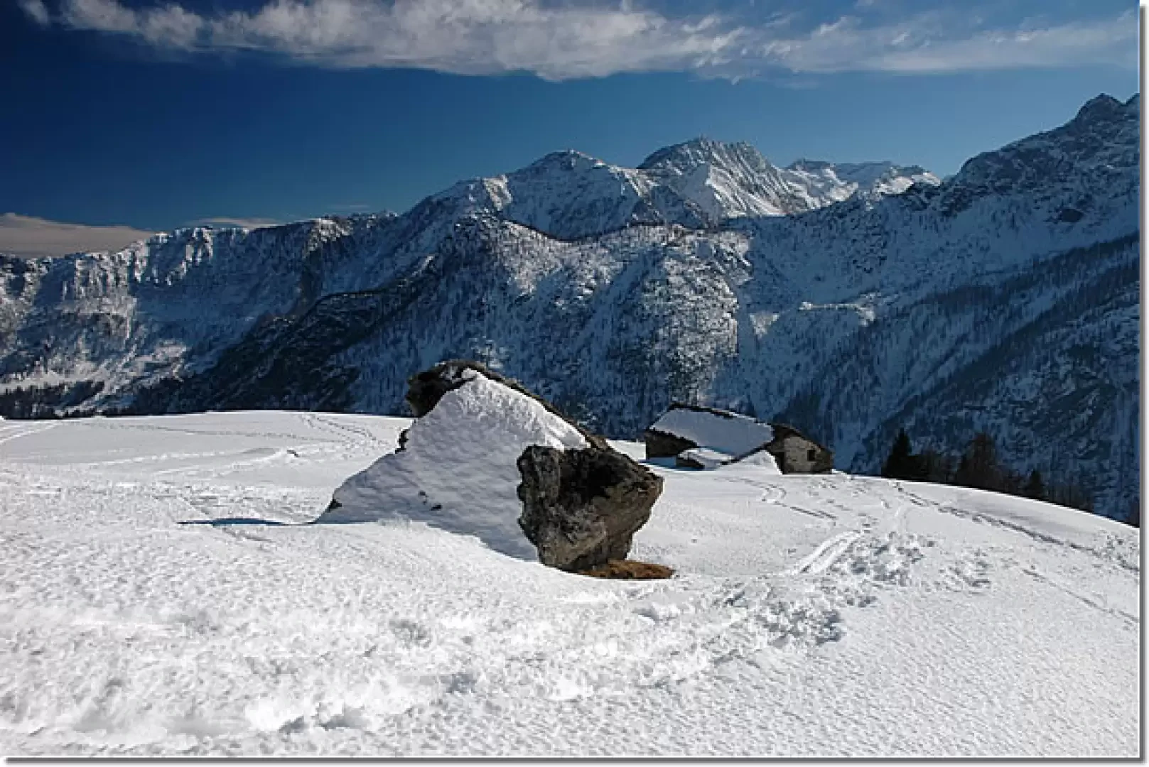
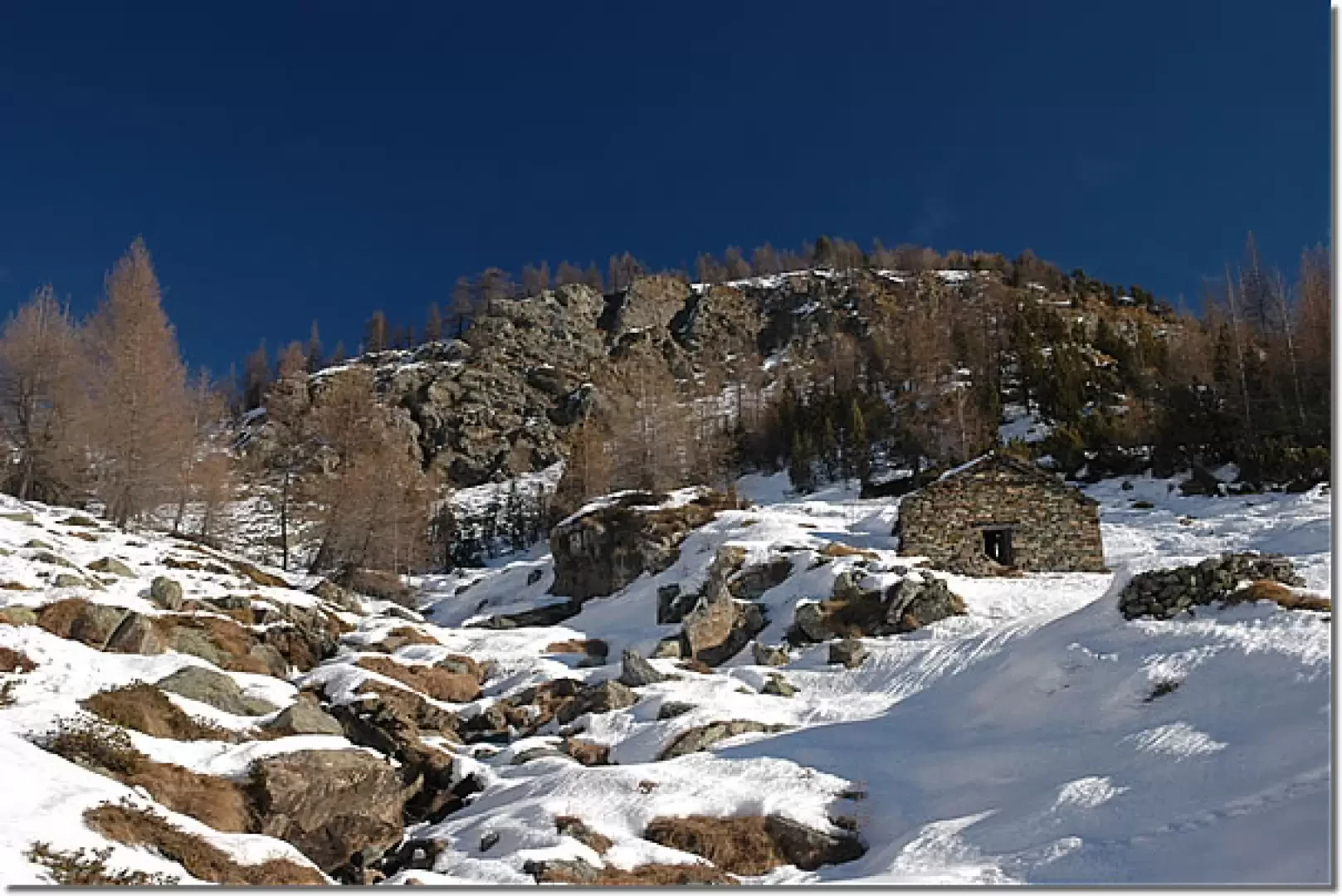
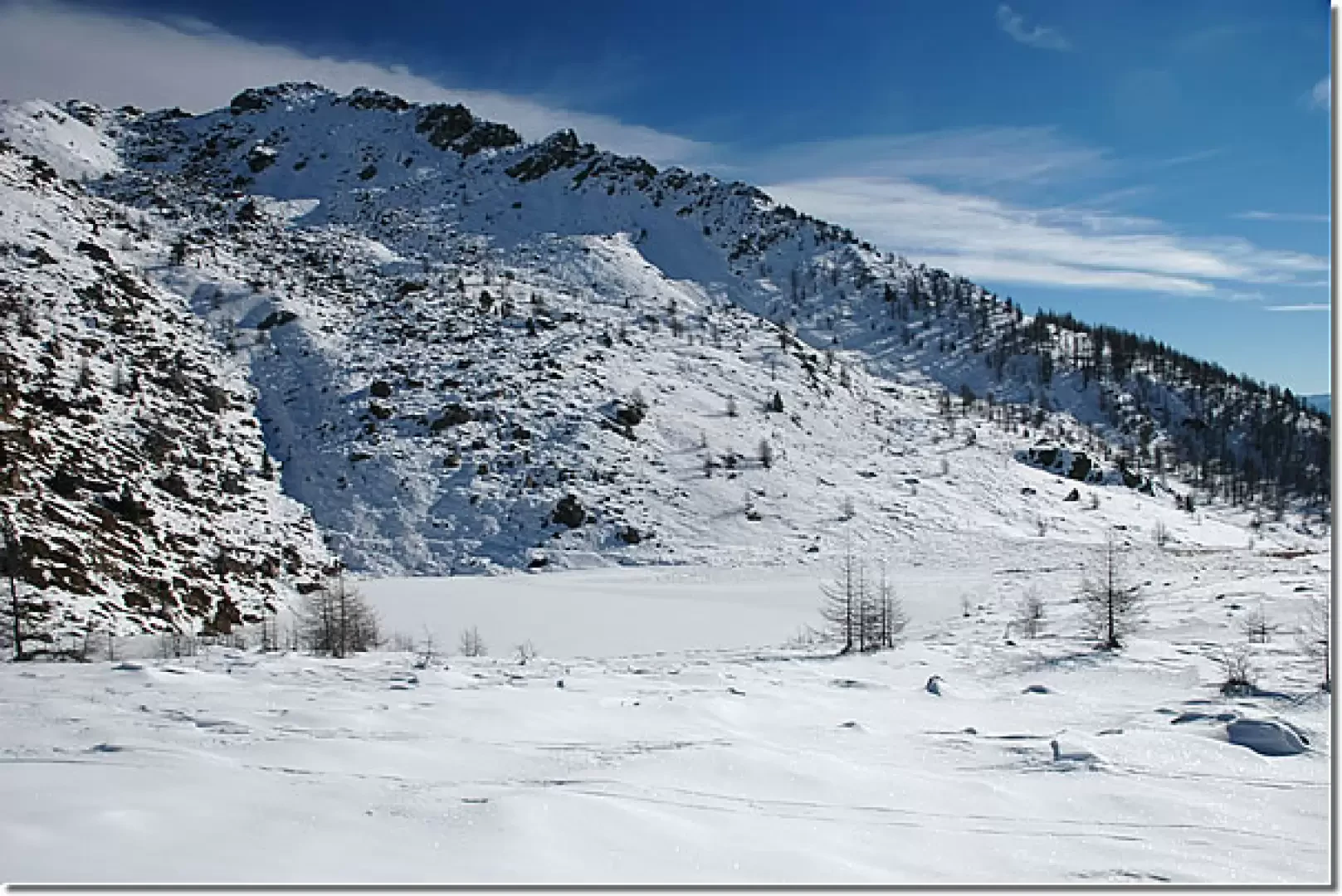
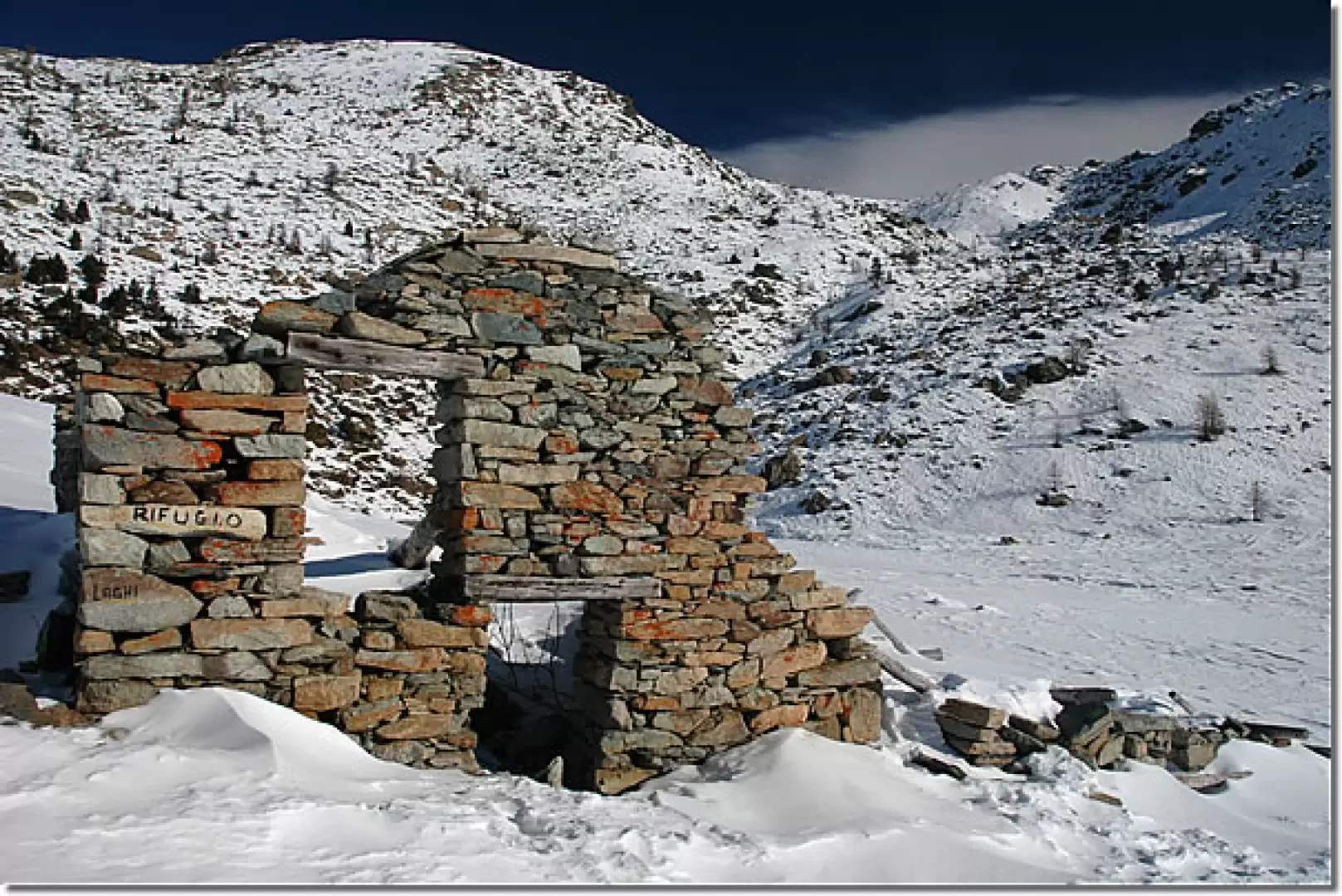
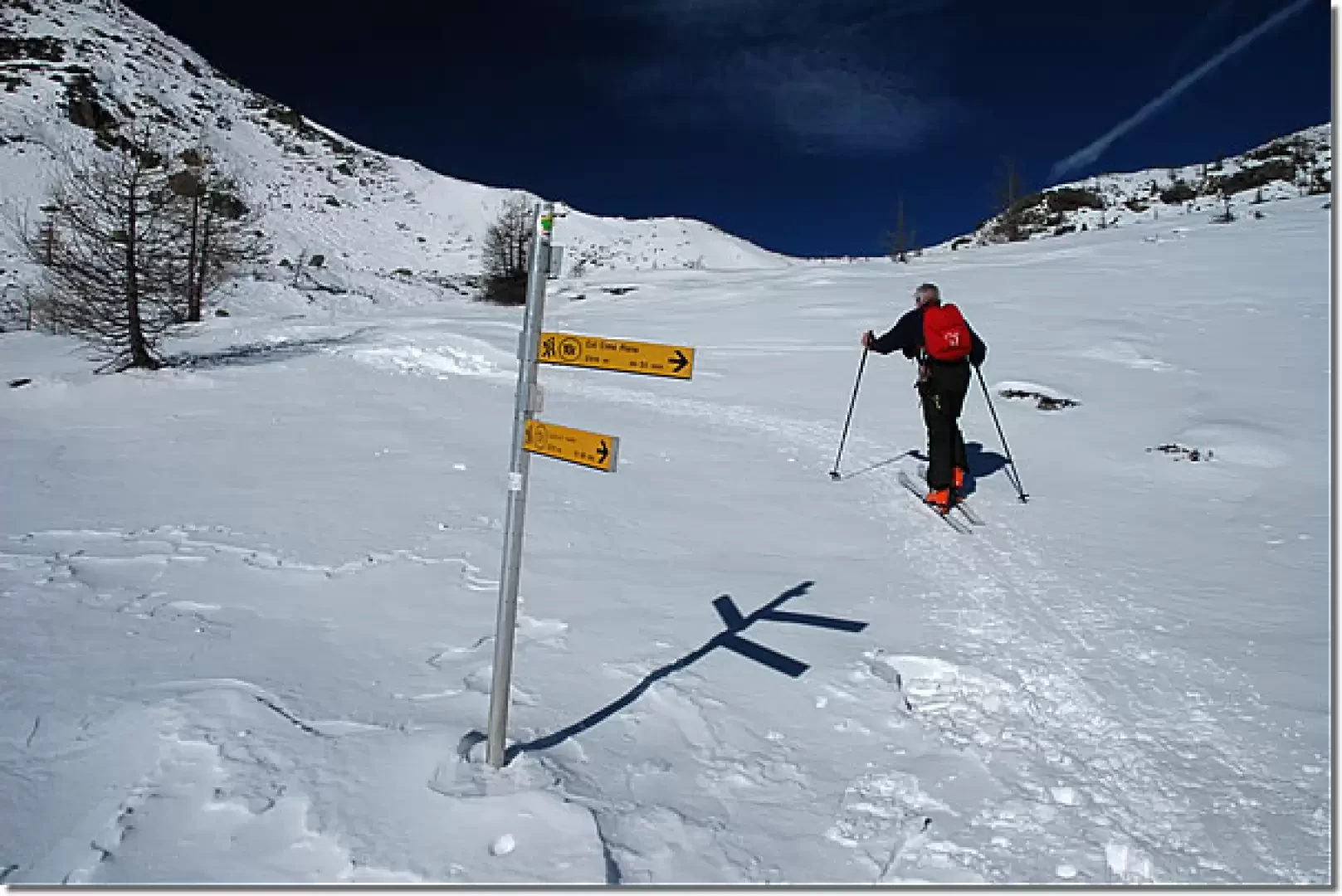
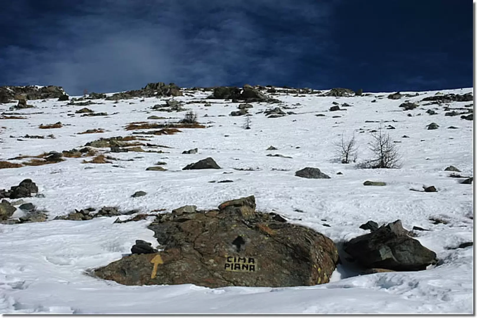
Leaving the car behind, we set off along the little road that leads to the starting point of the itinerary. Following the signs for the Rifugio Barbustel (Barbustel Refuge), we begin to climb the steep initial part of the path, lined with wooden railings. You gain height and after a few minutes you come to the crossroads for Arcomy (1805 m, 0h05', Path N° 10A), which you ignore by taking a short turn to the left. You cross a short stretch of larch woodland (Larix decidua) and then come to a small depression that is climbed with a series of turns. On the way up, leave a solitary alpine pasture to the right and continue climbing along a wide gully that quickly leads us to the ruins of Grand Cort (1940 m, 0h20'). Shortly afterwards, you come to the marker for the Terra Rossa pass (1963 m ,0h30'), signposted (10F), and continue to the left on the slope that decreases slightly in intensity and then turns to the right passing under a large rock; go over a relatively narrow passage and then join a gentle slope that soon leads to the plateau on which the snow-covered Lake Muffé lies (2214 m, 1h00'). We pass a ruin near the lake and begin the ascent towards Col de la Croix in the presence of Cima Piana. We now proceed among sparse larch trees along a not too demanding ascent until we reach the junction for Col de la Croix (2225 m, 1h30'), recognisable by a signpost. Turn right and proceed, without a great difference in altitude, up to the col (2294 m, 1h45').
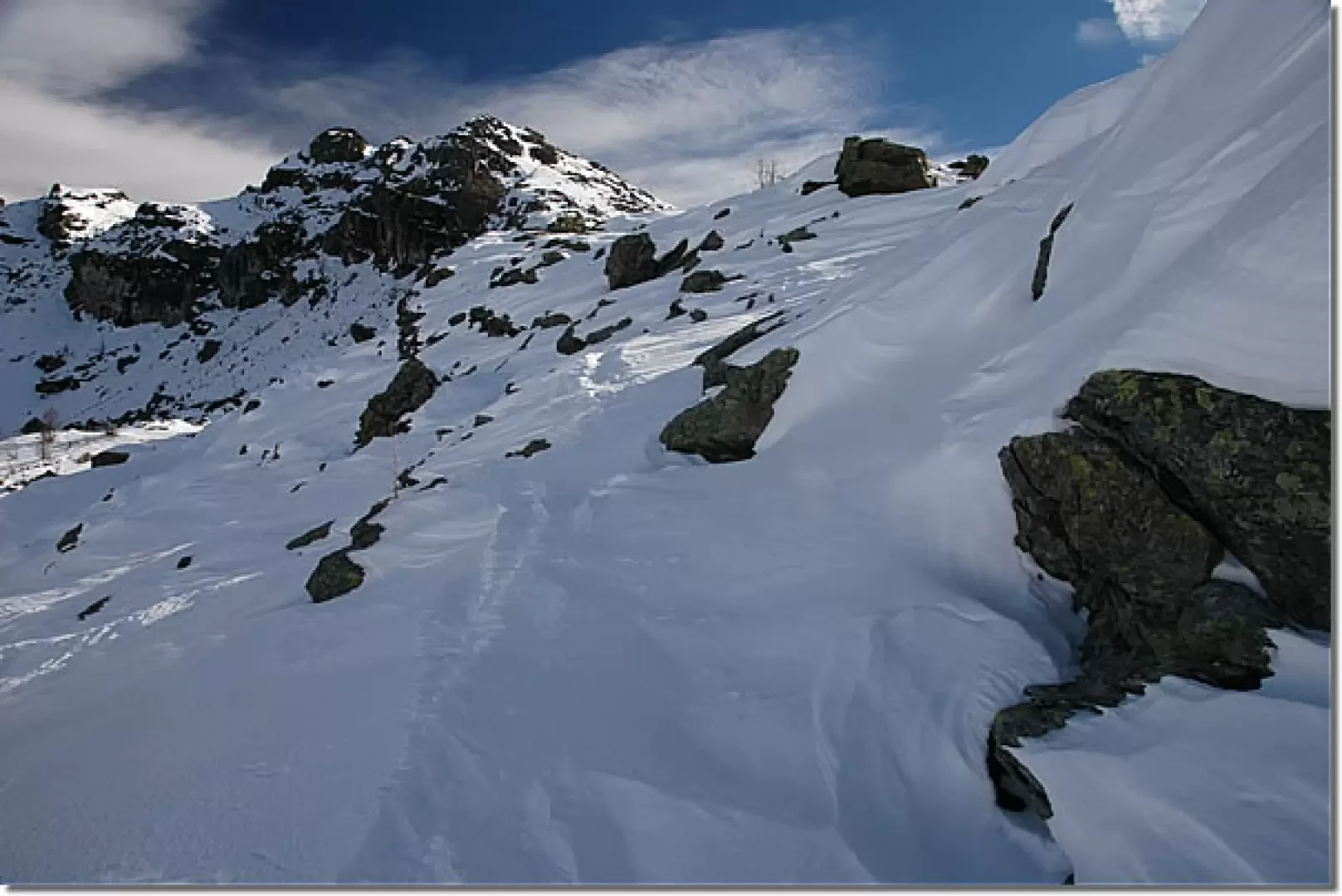
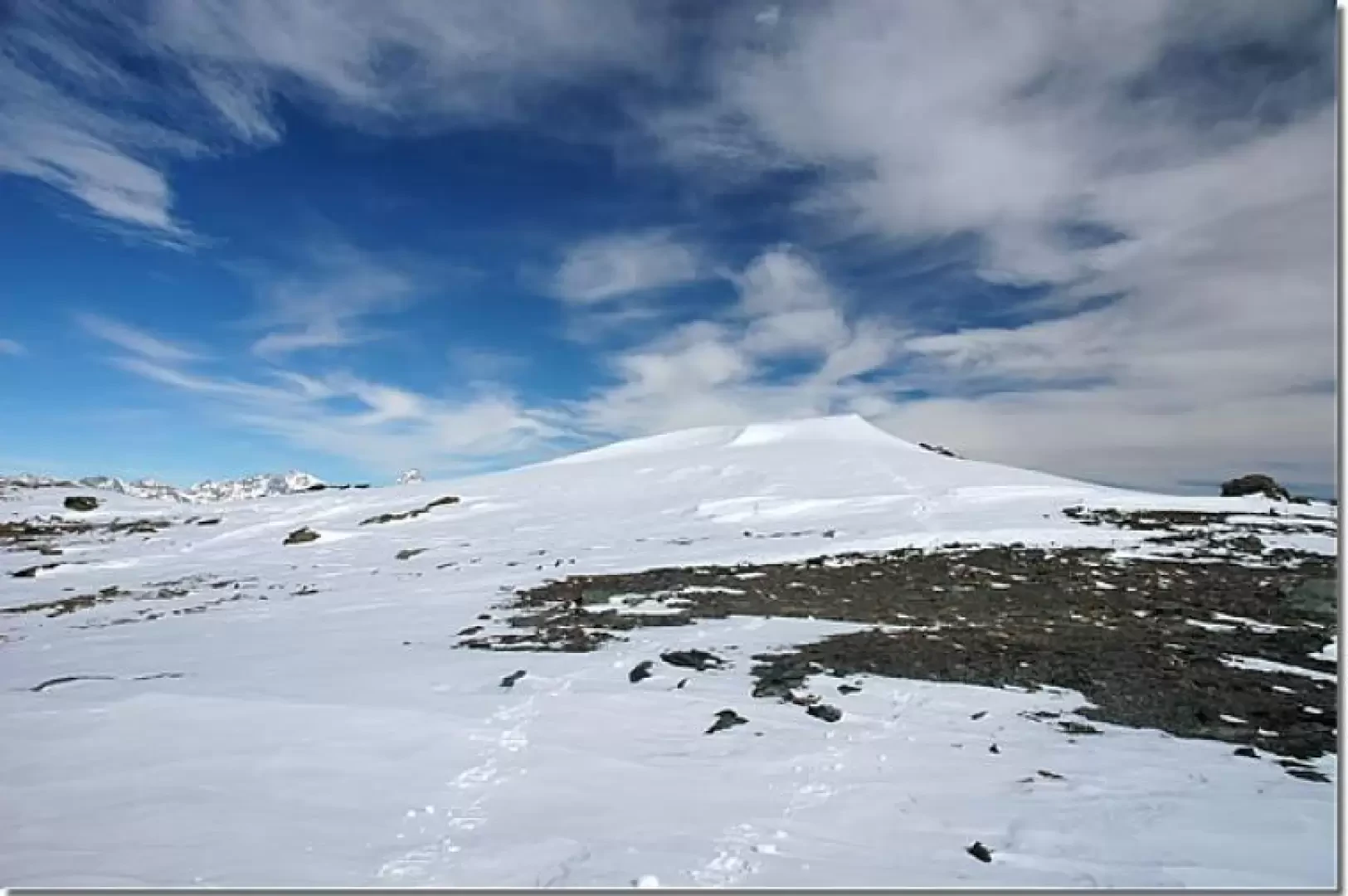
From the Col de la Croix, the final ascent towards the Cima Piana begins; initially ascending the final part of the west ridge until you reach the south slope. In order to tackle the last part of the ascent well, one ascends the slope diagonally up to the middle of the slope exposed to the sun; from here one begins the final ascent up the steep and 'wasteful' slope, which is tackled in a straight line. Towards the end of the ascent, the slope becomes gentler, doing justice to the toponymy: in fact, having passed a last snowy section, one reaches the peculiar summit with the peculiarity of being practically flat (2512 m, 2h30').
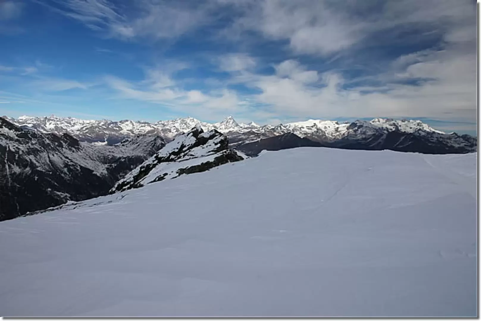
From the summit, the panorama is majestic: a beautiful 360° from Monte Rosa to... Monte Rosa.
The return is by the same route as the outward journey (1h30').
Tips
Along the final slope, it is advisable to leave the ski-mountaineering tracks aside and instead proceed in a straight line to the summit: the gradient certainly increases considerably but, all in all, the climb is easier.
Riferimenti Bibliografici
- Tracce Lievi - Martini Massimo -
Galleria fotografica