Punta Oilletta
Introduction
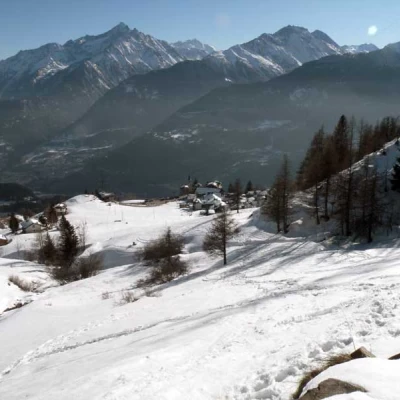
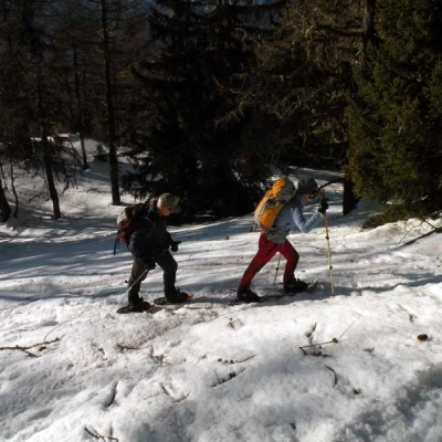
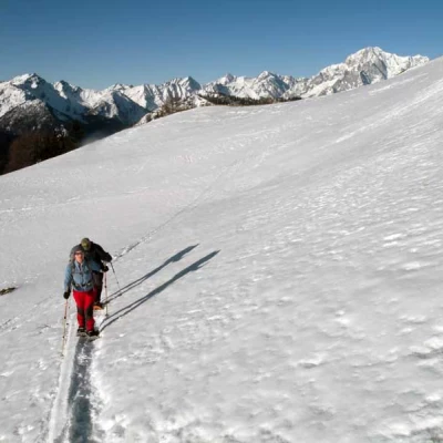
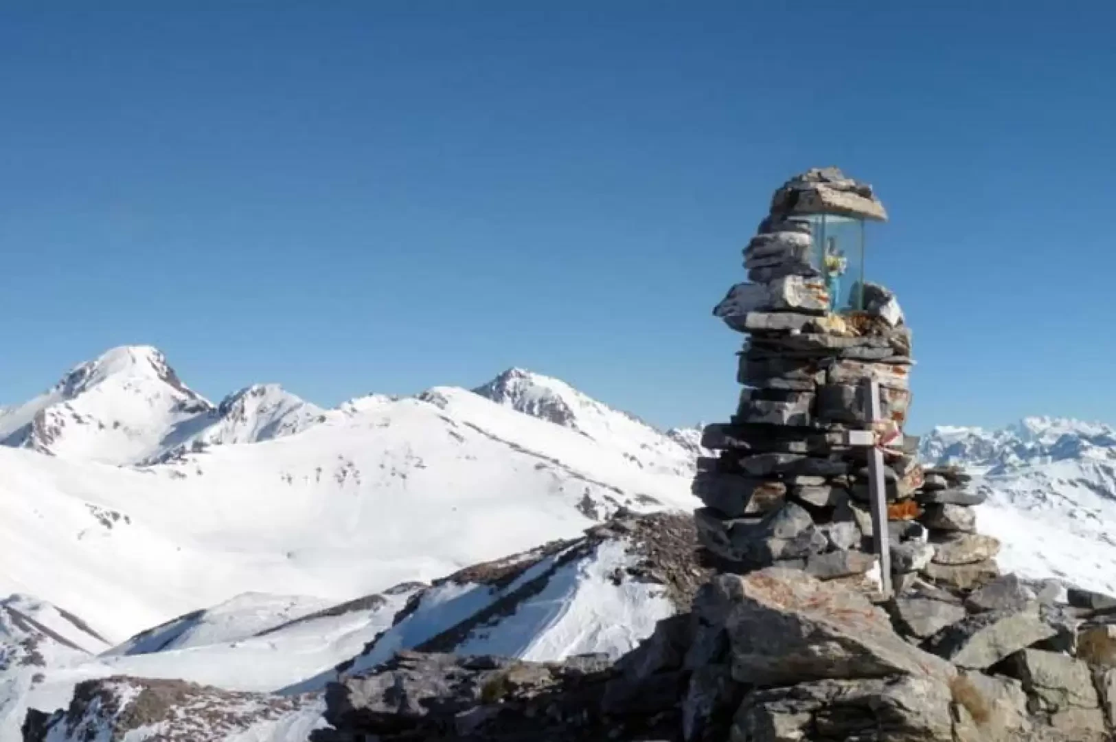
This beautiful hike is exposed to the south and reaches a very scenic peak at the start of the long ridge, which from here reaches the distant Mont Fallere. Already during the ascent, at the start of which we cross a beautiful forest of larch and fir trees, the view widens out to the peaks to the south of the central valley and then opens out to the Rutor group and the Mont Blanc massif; once at the summit, the horizon is simply spatial and the gaze literally wanders from the 4000-metre peaks of the border Alps to the other thousand snow-capped peaks that surround us. The route taken here does not follow that of the summer trail, which is a little longer and monotonous, but climbs a beautiful forest at the exit of which the slopes, even steep ones, that one must face must be well evaluated in order to choose the best route.
.Description
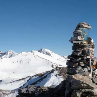
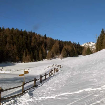
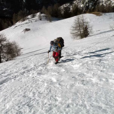
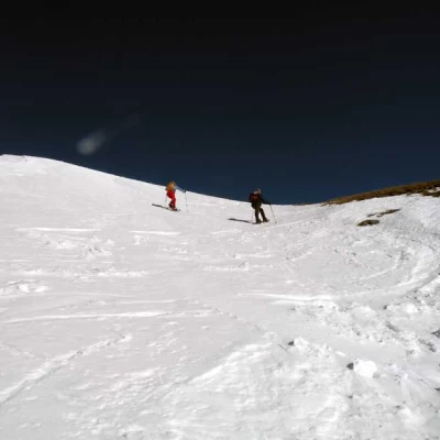
From the small square in the car park, walk towards the slopes above, ascending them in comfortable bends but preferably remaining on the left; walking in this direction, you pass a couple of low walls and, having reached the edge of the sparse wood, you intersect the track of the path. Conveniently cutting across the slope, you pass a water intake, which you leave to the right, to reach just above the road coming from the village (if you wish, you can follow it from the right of the car park, but the route will be considerably longer). From here, you will see a signpost at which you turn right to reach a fence that marks the small basin of Lake Joux (1905 m) beyond which, to the north, the long Vertosan valley begins. To continue the excursion, keep to the right, heading towards another clearly visible signpost at the edge of the forest, into which you enter with a gentle slope. Go up the valley in an almost straight line for about ten minutes, then keep slightly to the left to arrive at an almost flat opening (about 2000 m). Now turn right and, making numerous hairpin bends, climb up the steep slope, still passing through the forest, which is never too thick. Having arrived laboriously in the more open spaces, the slopes temporarily diminish and, still keeping to the right, we head for an anticima on the ridge; having climbed a steep slope, we head towards it without reaching it, however, but passing it at the small col on the right. The route now flattens out a little and, leaving an evident rocky antecedent to the right, one arrives at a depression between the marked ridge to the left and a slightly accentuated ridge to the right; from here, depending on the conditions, one must head for an evident wide gully that one can either ascend directly or, having crossed below it, reach the ridge to the left and follow it along the edge. In this ascent, with a few steep and tiring hairpin bends, one faces directly up the wide gully, at the top of which one can see, on a small stake to the left, a metal pole with a power unit powered by a small solar panel; once reached, one turns right and in a few minutes one arrives at the panoramic summit cairn in which there is a shrine with a statuette of the Madonna.
.