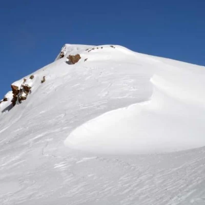
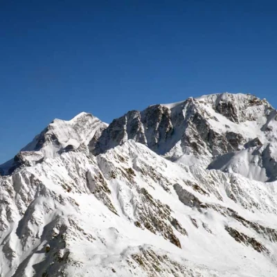
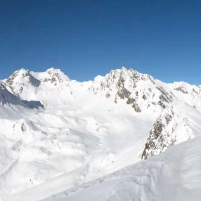
Tête de Crevacol, from the ski resort car park
Access
Take the A-5 Turin-Aosta motorway as far as the Aosta East barrier, at which you exit and follow the signs for the Gran San Bernardo Tunnel; when you reach St. Rhémy, continue towards the tunnel entrance until you find the signs for Crevacol, where you will find the ski resort's parking areas and where you can conveniently leave your car.
Introduction
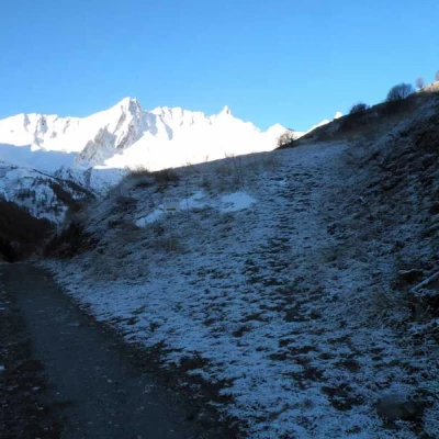
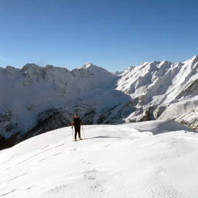
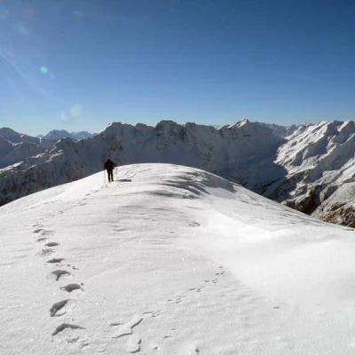
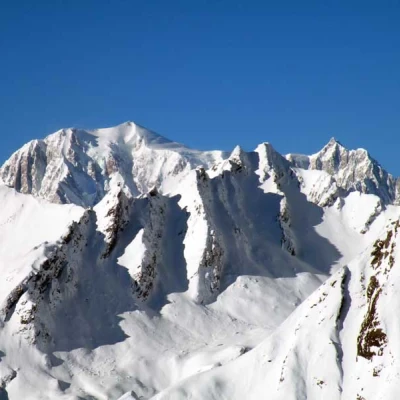
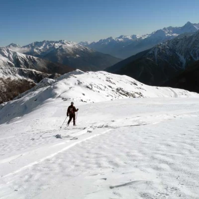
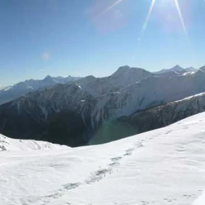
Beautiful hike, not difficult, whose itinerary allows us to enjoy increasingly suggestive views and panoramas as we climb and reach a summit from which we can see almost all the highest peaks in the valley and the immaculate surrounding valleys, including that of the Gran San Bernardo pass, where the construction of the hospice can be clearly seen. It is advisable to make this ascent when the lifts and slopes are closed in order to fully enjoy the silence and tranquillity that these environments transmit.
Description
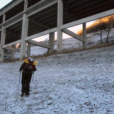
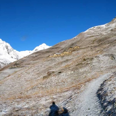
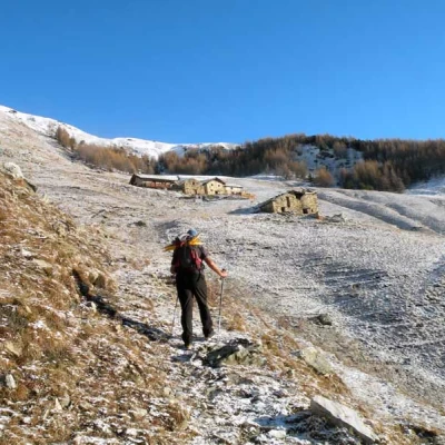
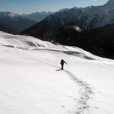
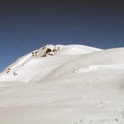
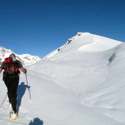
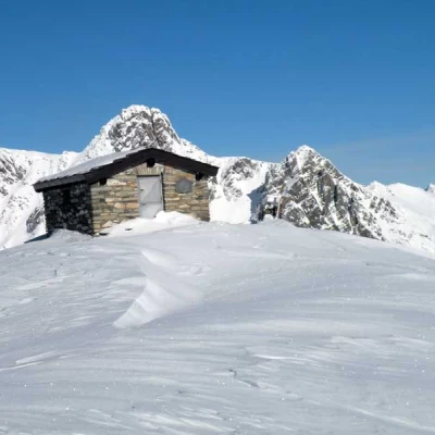
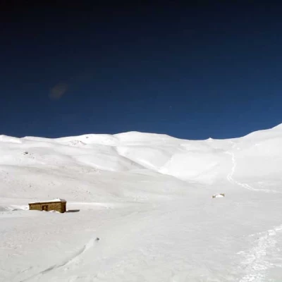
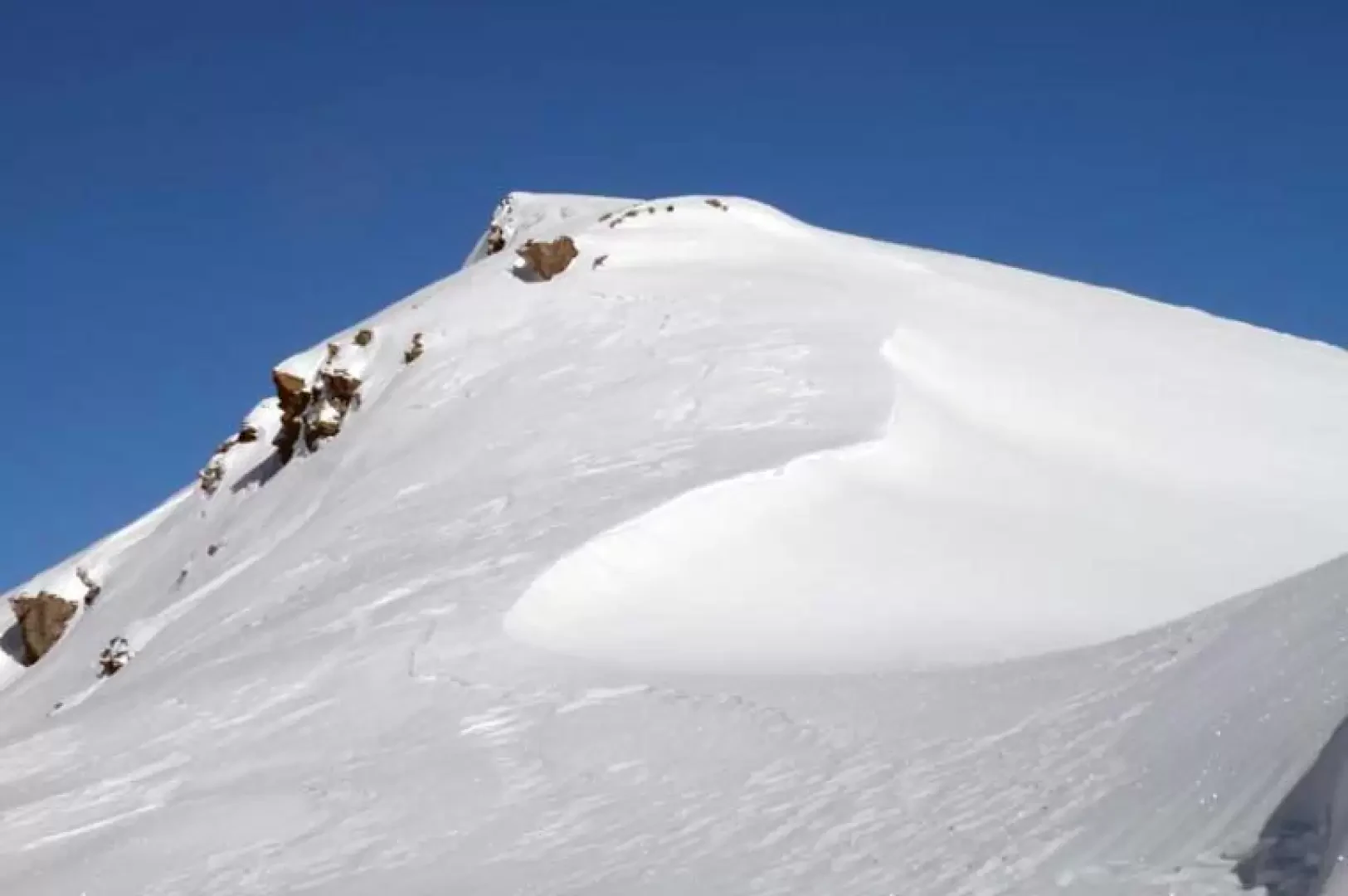
From the bottom of the forecourt, climb up near the obvious signposts, placed at the start of the dirt track, passing under the motorway viaduct, climbing up the slopes above to cut the route of the road that is higher up. On the road, before a fork, turn right at a signpost for Malatrà with, if visible, the Alta Via 1 (1743 m) markers and climb up the slopes, keeping a little to the left, aiming for the Merdeux desot huts (1923 m); go past them and continue up the slope for a short distance, aiming for the visible Merdeux damon huts (2010 m) from where you reach the trace of a farm track that passes just above. Now follow the track to the right and then, at an altitude of about 2060 m, leave it and turn sharply to the left, climbing up the slope again towards the north (keeping to the left) to reach a wide ridge from where you can see the ups and downs that culminate in the Tête de Crevacol. Follow the sinuosities of the wide ridge, which has a few short, somewhat steep sections that can be circumvented with a few traverses to the right, and you will reach the short, flat and very scenic section at the end of which you will see the forestry hut with a small stone cairn and a wooden cross located on the summit. On the descent, if you wish, you can go down the first part of the ridge towards the south-east, heading towards a ruined hut which you don't reach, but turn right to go directly down the wide slopes, leaving a signpost to the left with indications for the ski slope; go past a water intake and continue downwards for a few dozen metres to begin to traverse to the right, skirting some small ridges of the mountain and then, deviating more and more decisively to the right, return to take the tracks of the ascent.
.