Tête de Comagne, from Sommarèse

Edited by:
Massimo Martini
Updated at: 08/05/2025
Introduction
An interesting walk in the middle of the woods of the middle Valle d'Aosta. This is an extremely easy itinerary that can offer interesting panoramic views. The absence of particularly exposed slopes also makes it easy for winter snowshoeing.
As mentioned in the introduction, this itinerary can be defined as a "classic" for snowshoeing. Technically, the route does not present any particular difficulties: the absence of exposed slopes eliminates the risk of avalanches, but remember that it is always necessary to use caution and not to venture too close to areas where the 'windy' snow could conceal some pitfalls.
The itinerary should be increased by about half an hour: in about two hours you will reach the summit.
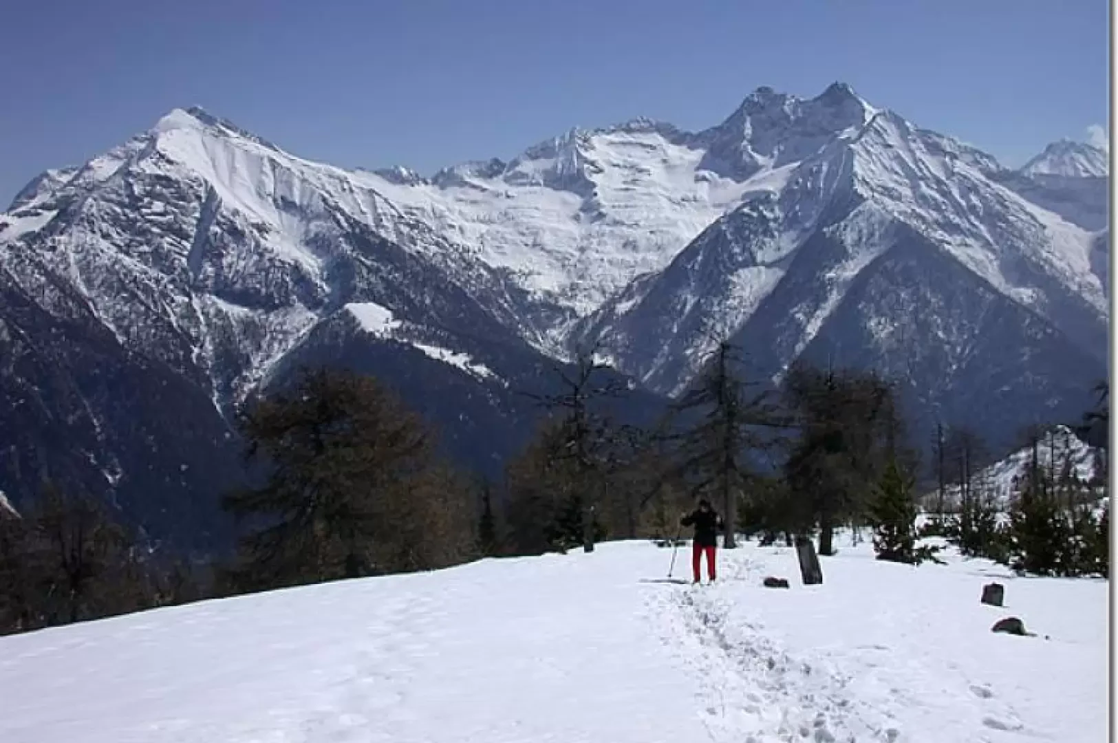
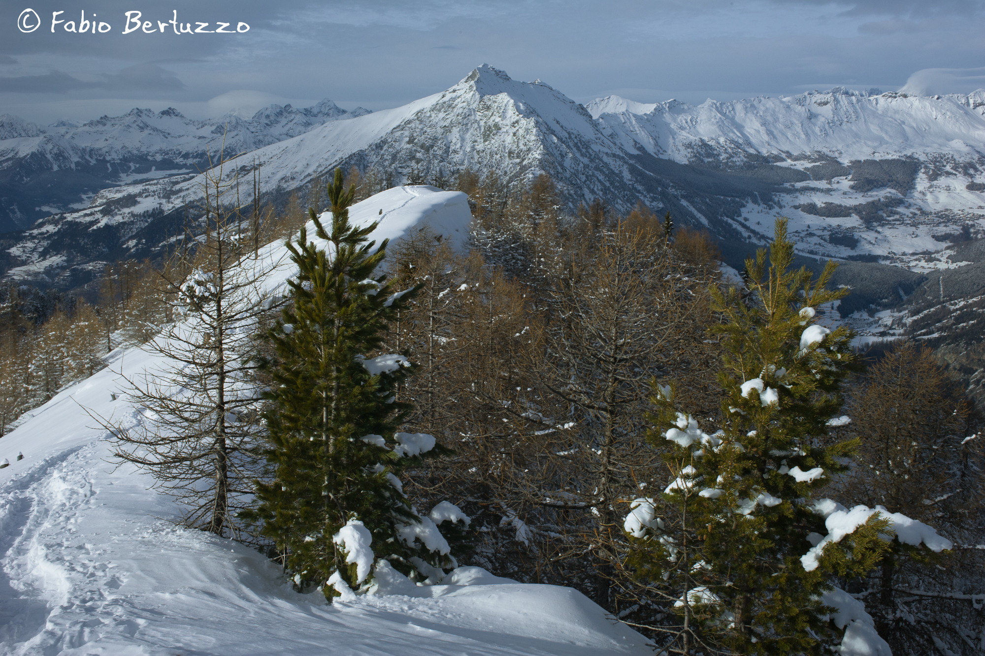
From the summit, the winter panorama is undoubtedly captivating: see below to believe it!
Description
Leaving the car in a lay-by in the centre of the hamlet of Sommarèse (1530m), follow the regional road for about 400m, until you first come to a signpost for the path (5) and then, after another hundred metres, you reach the path, on your left, that will lead you to Testa di Comagna.
The path climbs quite gently through a forest of firs and larches: in summer, this hike has the advantage of being quite shady!
After a quarter of an hour's walk, the path crosses some meadows, at the height of the Zuccore pass (which can be seen on our right). After this section, we re-enter the forest and climb up the slope to an altitude of 1882 m, reaching the Tzecore mountain.
From here, the trail follows the natural line of the very wide ridge and soon reaches the summit.
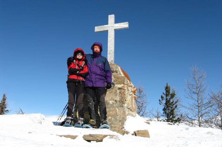
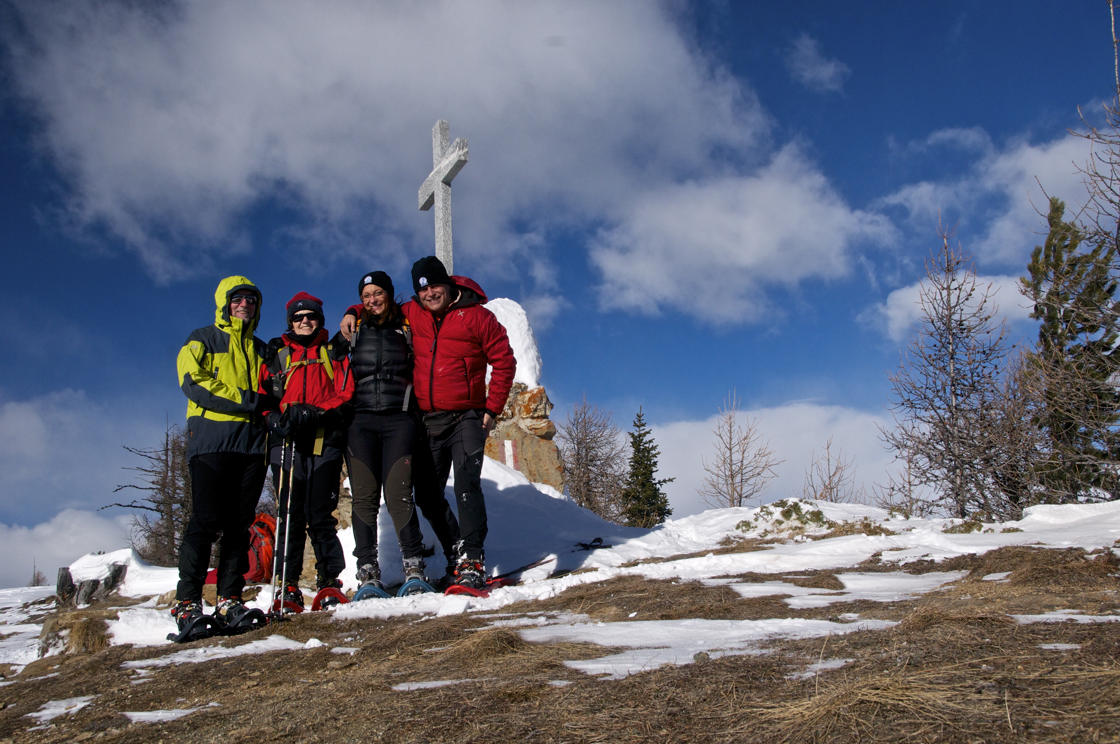
The Testa di Comagna, clearly visible from the central valley and recognisable by its distinctive panettone shape, is topped by a granite cross. The rather flat summit is an excellent vantage point for observing the mountain massifs of the Mont Avic, Mont Glacier and Rosa dei Banchi. It also offers a beautiful panorama over the valley of Ayas and the Estoul basin.
For the return walk, you can either follow the route taken on the way up, or you can choose two variants:
- descend towards Col de Joux: the path is rather steep but practicable
- follow the path (1) that takes you directly back to Sommarèse.
We have been there
Edited by:
Massimo Martini
Tête de Comagne

Edited by:
Ermanno Panara
Testa di Comagna
Partiti dal piazzale adiacente all'area pic-nic del colle Tzecore. Da quel punto le tracce sono evidentissime e il sentiero non si perde.