Teppes Longues, from Lillaz

Edited by:
Giancarlo Beretta
Updated at: 04/05/2025
Access
At the motorway junction of Aosta West, turn right and take the regional road for the Cogne valley. Drive through the village of Aymavilles and, after 1.3 kilometres, take the second exit at the roundabout. Go up the regional road for 19 kilometres, passing the villages of Vieyes, Epinel and Crétaz, until you reach a roundabout: take the second exit, following the signs for Lillaz. Continue on the communal road for about one kilometre until you reach another roundabout; continue straight on for another 1.8 kilometres until you reach the large free car park 🅿️ in Lillaz.
[0h32'] - [24.0km]
How to get there with GMAPS
How to get there with Apple Maps
The directions provided have been carefully checked at the time of the route survey. However, it is highly recommended to check for any changes that may have occurred since then, especially regarding the route to the starting point. Before embarking on your journey, it is advisable to consult up-to-date navigation tools for accurate and up-to-date directions. We recommend the use of satellite navigation apps, such as Google Maps or Apple Maps, to ensure the most accurate and safe route.
Introduction
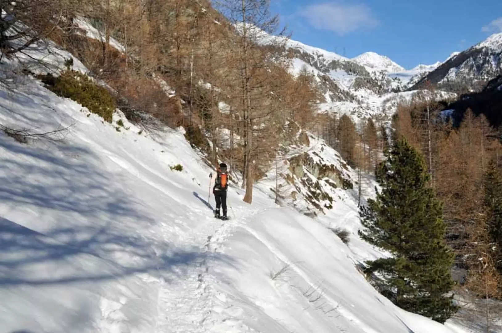
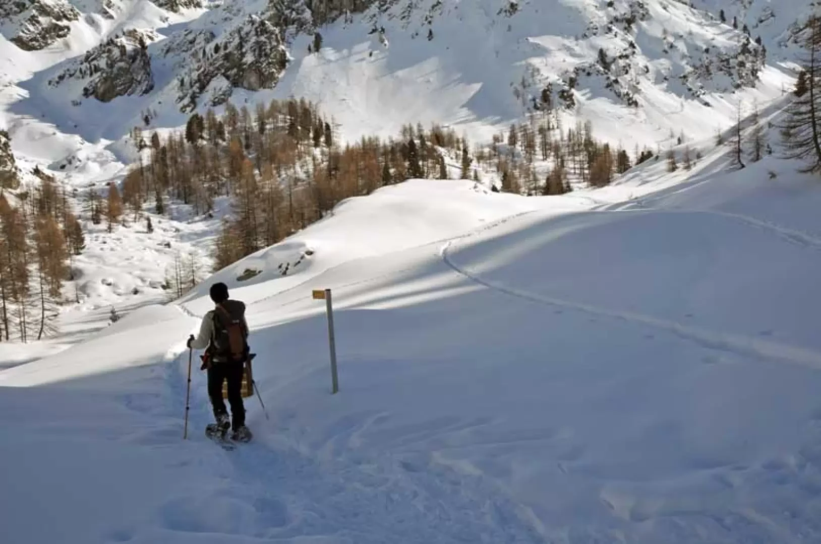
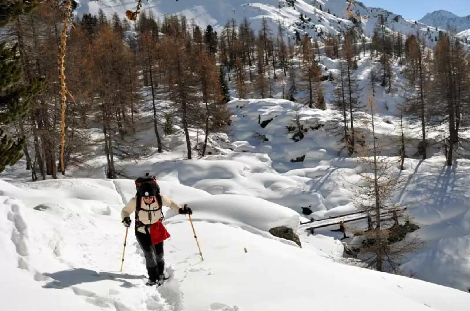
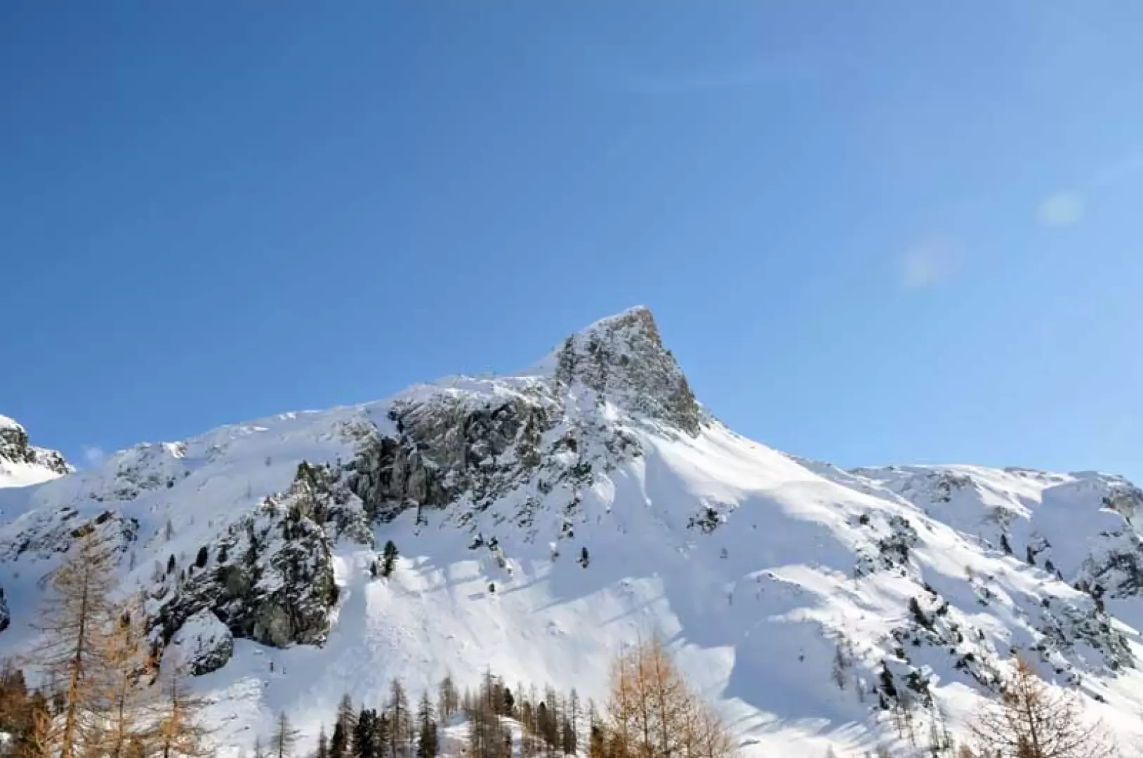
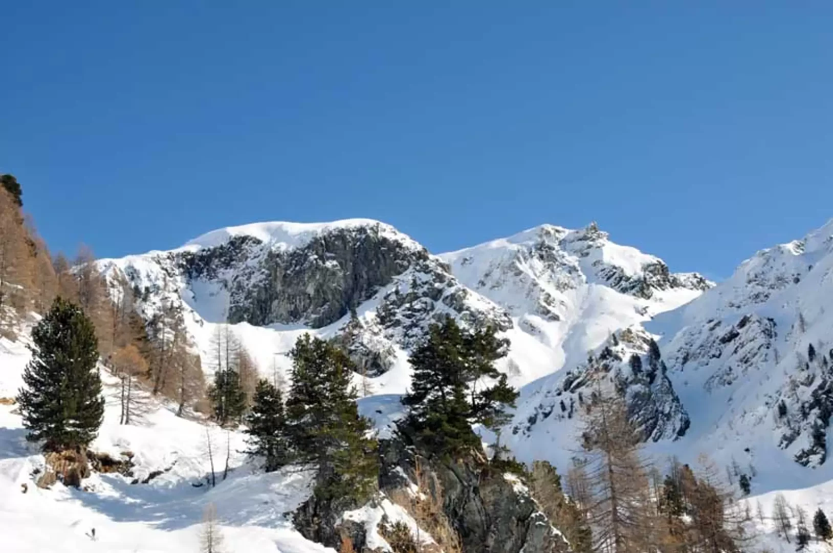
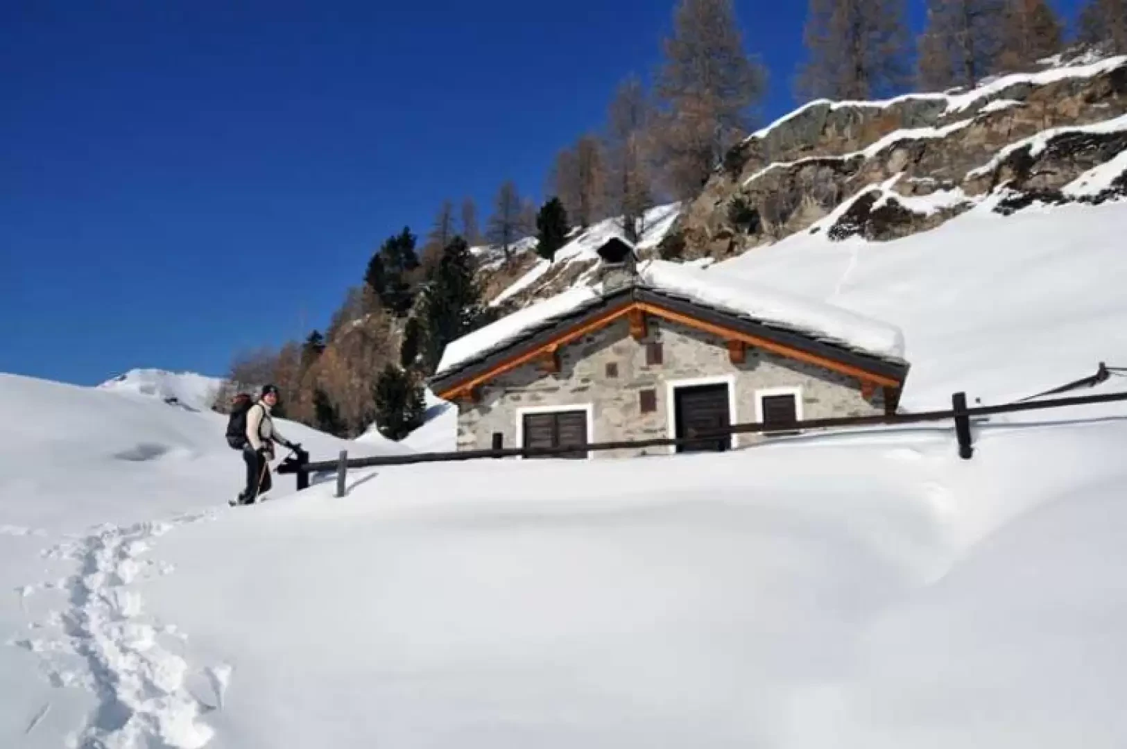
Beautiful hike through the woods and icy lonely Urtier and Bardoney valleys, leading to a hut in the Gran Paradiso National Park on the promontory dividing the two valleys. The ease of the excursion is due to the track, which is usually present up to the junction for Bardoney, but then, in addition to the eventual effort of beating it, you have to locate the direction well from below because the hut is only visible as soon as you get there.
Description
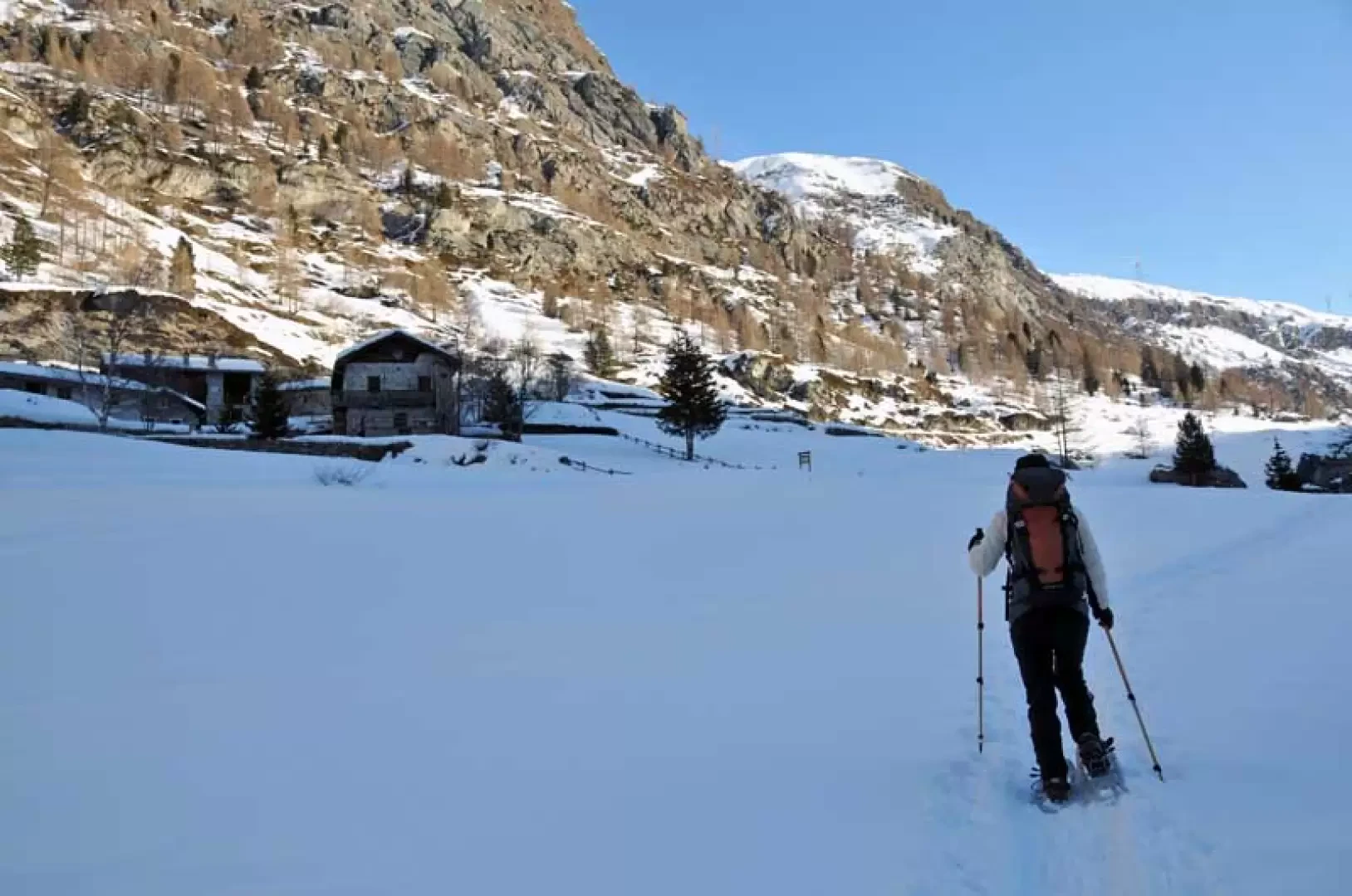
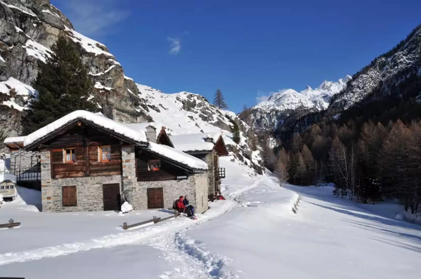
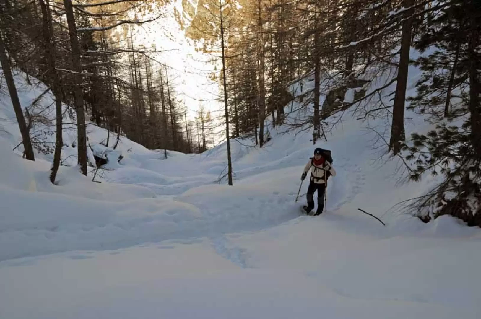
Take the road to the left of the car park and walk for a few dozen metres until you come to the marker posts located near a house. Climb the steps next to the house, then climb up into the woods following the track on the path and pass a couple of forks marked by posts (1708 and 1727m); pass a farm road and, still following the path, walk alongside a water pipe, quickly gaining height. Past the water conduit, the mountainside is skirted on the right and a small chapel (1829m) is passed. Continue along a long traverse halfway up the hillside that, with a few ups and downs, stays above the stream and passes through a sparse wood. Temporarily coming out of the forest, you arrive at a wide plateau where, on the left a little higher up the track, you will find the alpine pasture of Goilles dessus. Continuing along the hillside, you will soon arrive at the huts of Goilles desot (1845m). Beyond these huts, walk towards the narrowest part of the valley, approaching a wooden bridge, and cross the stream, gaining the opposite bank; after passing a small plateau where you turn left, you enter the woods and begin the ascent, at first with slight inclines and then overcome a steeper section with a few narrow hairpin bends. Continuing into the wood, climb up a narrow, steep gully, then up a few more narrow hairpin bends protected by a fence and, where the slope decreases, cut across the slope, arriving in sight of a crossroads well signposted by a post that is reached by descending a little towards a small plateau (2136m). Leave the tracks that continue to the right and descend a little towards the bottom of the small valley where there is a small bridge that you cross and immediately turn left to reach the opposite side of the small valley floor; go up obliquely to the left trying to follow the route of the summer path and you will soon reach the Gran Paradiso National Park hut that you see at the last moment.
.Galleria fotografica