Spitzhorli
Introduction
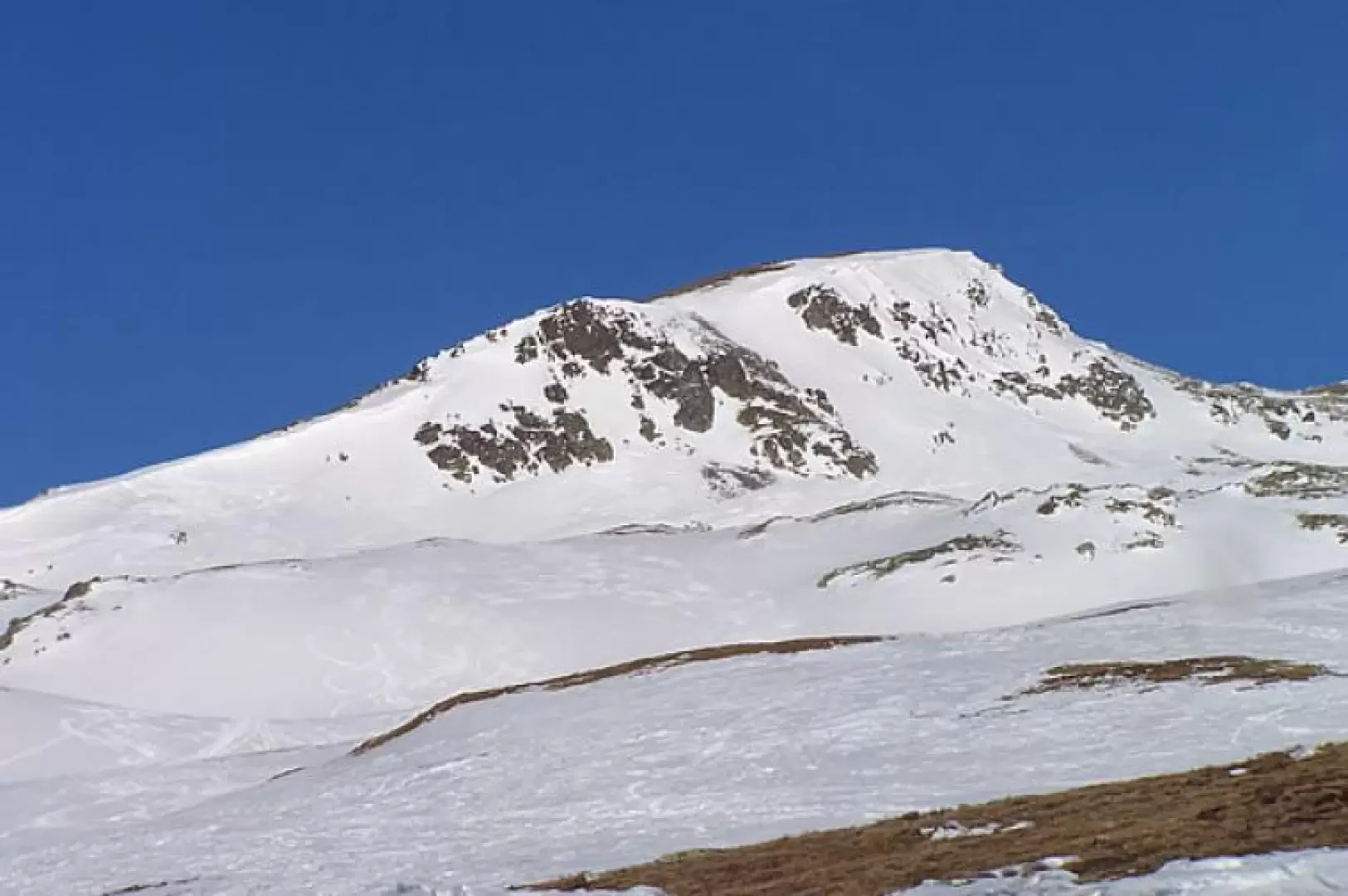
Tour to one of the winter hiking paradises. Wide open spaces and grandiose views for a hike that takes us to one of the best vantage points in the area. The track (skis and snowshoes) is almost always present due to the fact that the peak is frequented.
.Description
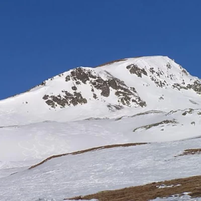
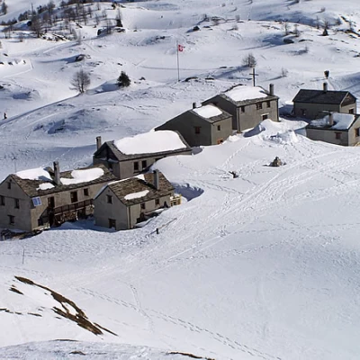
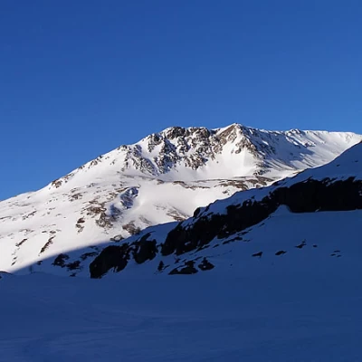
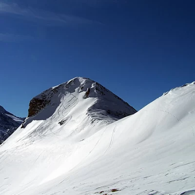
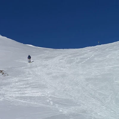
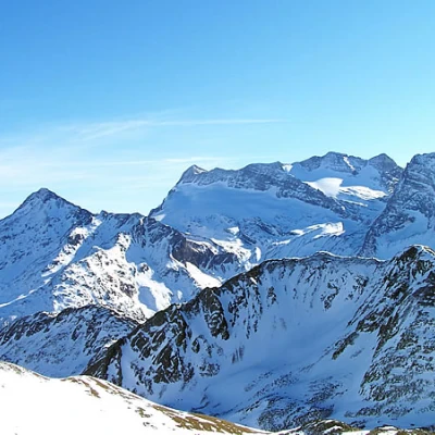
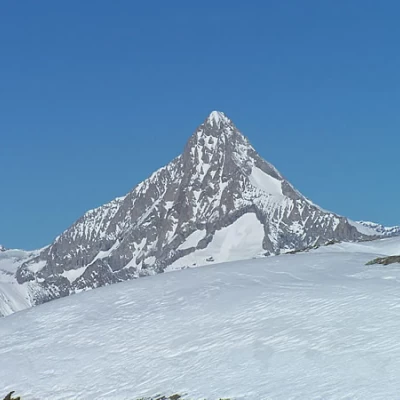
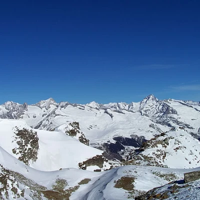
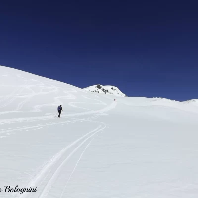
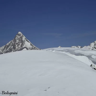
Shoes are immediately put on and the trail heads northwards, briefly crossing the cross-country ski trail and passing a small rise, above which the trail bends slightly to the left and soon reaches the small village of Hopsche. Continue in the direction of the Tochuhorn and, after a traverse under its southern slopes, always to the left, you will reach the signposts at which you turn left again, following the signs for Üsseri Nanzlicke. When you reach the start of a long traverse, you must assess how well the snow holds up: if it is well crusted, you can continue along the traverse in its upper part, but if it is fresh or a little soft, it is preferable to stay lower and climb up towards the col in front, zigzagging just below it. When we reach the col and turn right, we can finally see our destination at the bottom of the valley. We continue on a slight incline at the bottom of the wide valley, which rises with the Tochuhorn on the right while the long Straffelgrat ridge runs to the left. We head decisively, without any obligatory path, towards the wide pass that divides the latter with the Spitzhorli and, passing several small bumps, we reach the Üsseri Nanzlicke pass, where we also find a signpost. Now, turning to the right, there remain just over one hundred metres of altitude difference, which can be climbed without an obligatory path over the wide ridge to the summit cross. The panorama sweeps to the south with the lion mountain and a little further to the right the Fletschorn, to the west the Mischabel group and in the distance the Matterhorn, to the north the sharp silhouette of the Bietschhorn and to the east the immense Bernese Oberland area with the large tongue of the Aletsch glacier in evidence. The descent is made by retracing the ascent route.
.Galleria fotografica
We have been there
Spitzhorli
Report della gita
Informazioni generali
Condizioni via o sentiero: traccia battuta
Pericolo Oggettivo:nessuno
Tratti esposti:nessuno
Rischio valanghe: molto basso
Affollamento: discreto
Condizioni meteo
Cielo: sereno e limpido
Temperatura: decisamente calda. Completa assenza di vento
Condizioni neve: portante
Condizioni ghiacciaio:
