Letey Refuge

Introduction
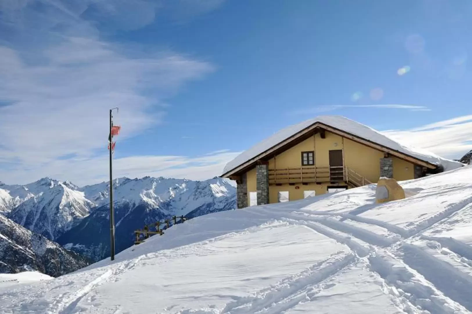
This hike leads to one of the most scenic refuges in the Valpelline - Gran San Bernardo area, located below the slopes of the Col de Champillon, between the Crou de Bleintse and Mont Chenaille. The first part of the route takes place in the steep forest to the west of Ollomont with sustained and continuous gradients, while the second part unfolds on the open, sunny slopes with gentle ups and downs that allow us to enjoy the evocative immaculate environment that is always open before us. Care must be taken that if you do not find the beaten track in the forest part, there may be some orientation problems.
Description
From the car park, cross the bridge and turn left to pass the 'Vecchia miniera' inn, where the path begins just behind it. After a short ramp, we come to a path (approx. 1455m) that cuts across our route with route markings on the stones of a low wall. We continue to the right through the forest with many hairpin bends, on a fairly steep incline, until we reach the ruined Prumayes hut (1596m), where the trail markers are located on the wall; we pass behind it and the path, decreasing a little in inclination, makes a traverse through the forest to the right to arrive near a stream that we do not cross. The path continues for 200m of difference in altitude with narrow hairpin bends, some of them a little steep, until it comes out of the dense forest where, after a last small incline, you arrive near a marker post from which there is a magnificent view of the ring of mountains surrounding the Ollomont basin and of the extensive snow-covered pastures. From here, head towards the little wood to the left of the chapel that can be seen further up, cross it with a few turns at the less steep points, and you reach the track with the numerous tracks coming from Doues. Now, in order not to make the path too long on the farmstead, it is best to locate a small bridge just to the left of the road and climb up on the almost always present tracks to the right over a hump topped by a large stone. From the top of this, continue, with a few gentle ups and downs, now with the hut in the distance, and arrive at the Tsa de Champillon alpine hut (2297m). From the huts, following the numerous tracks, it takes about twenty minutes to reach the panoramic hut, which is reached from the right.
On the way back, once you have reached the little bridge, it is worth turning left for a few dozen metres and visiting the panoramic chapel of Notre Dame de la Neige (2085m) located just above the Champillon alpine pasture.
We have been there
Rifugio Champillon
Report della gita
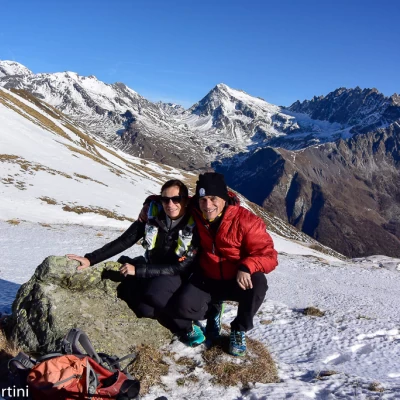
Passeggiata in quota con leggero innevamento. La giornata calda ha permesso una salita inusuale per la stagione.
Informazioni generali
Condizioni via o sentiero: parzialmente innevato
Pericolo Oggettivo: nessuno
Tratti esposti: nessuno
Rischio valanghe: 0
Affollamento: qualche escursionista
Condizioni meteo
Cielo: sereno
Temperatura: 10° decisamente caldo
Condizioni neve: a chiazze, qualche tratto di accumulo ventoso
Avvistamenti
Fauna: Rupicapra rupicapra
