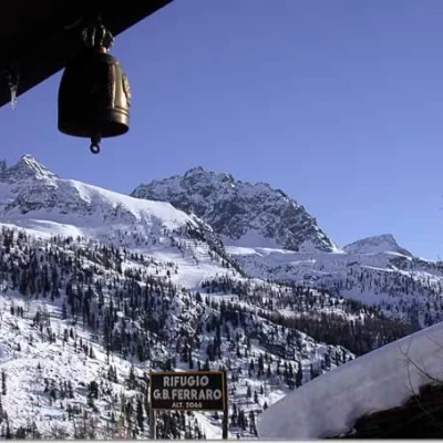
Ferraro Refuge, from the Frachey car park
Introduction
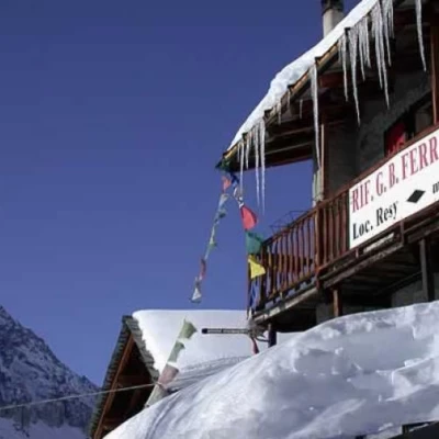
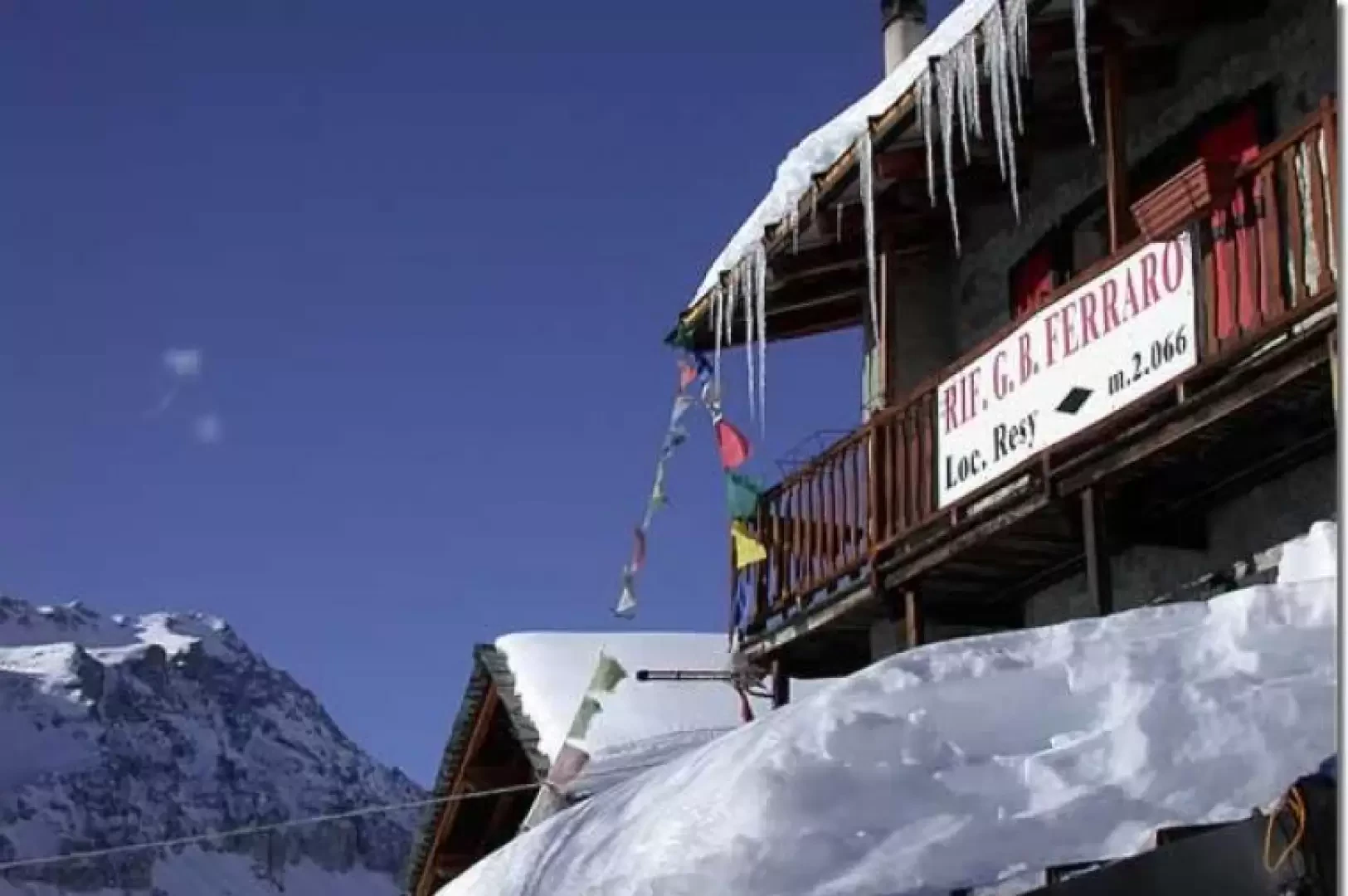
Located in the typical Walser village of Résy, the Rifugio Ferraro is an interesting destination in the upper Val d'Ayas; the proposed itinerary does not present any particular difficulty and repays the effort with excellent panoramic views.
Description
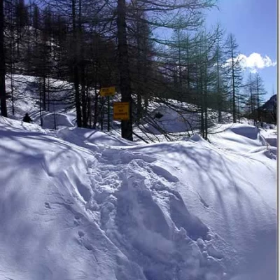
Leave the car in the car park and follow the little road that cuts through the village, near the church, and follows the Evançon stream as far as Blanchard: cross a small bridge on the left and you will come to the signpost indicating the start of the itinerary.
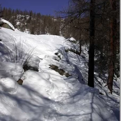
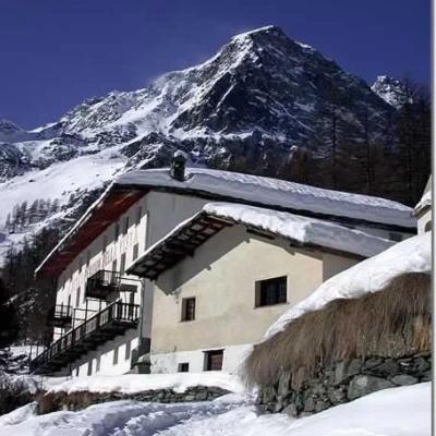
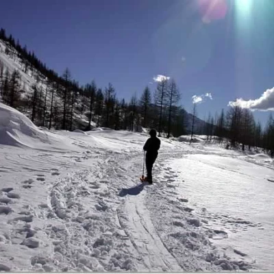
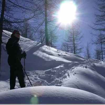
Wearing snowshoes, go up an initial section of a fairly steep path that takes you to a clearing in a few minutes: turn right here and cross a second small wooden bridge. We climb up the slope covered with larch trees (Larix decidua) following the traces of the path, which is also evident under the snow cover, and in about twenty minutes we reach the crossroads for the small village of Fiéry (1879m, 0h30'); if we turn left, we reach it in a few minutes' walk: it is worth a look.
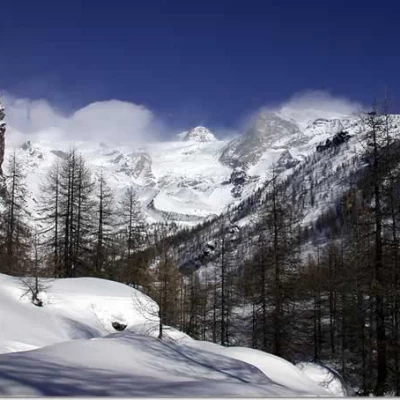
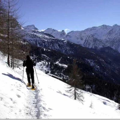
Our itinerary continues at the fork to the right, climbing up a short stretch of path that leads almost immediately to a clearing where the Casa Alpina is located; follow the path past some farmhouses and, after leaving an alpine pasture on the right, start climbing again through the larch forest. After a series of hairpin bends in the forest, the path tends to the right and flattens out slightly: you are now close to the plateau. After leaving the last lonely larch trees, a marvellous spectacle opens up before us: Pollux and Castor rise majestically on our horizon.
As soon as we enter the Verra plateau, we come to a small bridge over the Verra stream (2060m, 1h15'): we cross it and move to the orographic left of the valley. Follow the track slightly downhill until you come to a panel indicating the diversions to Rifugio Ferraro (2038m, 1h30'). Turn left and start climbing up the larch forest, keeping halfway up the slopes of the Palon de Résy; after the short uphill stretch, leave the forest and head east towards the village of Resy, where we find the Rifugio Ferraro (2066m, 2h00').
From the hut, take the summer path that leads to Saint-Jacques: the descent is quite steep and, after passing a few isolated cottages, finally leads to the starting point (1690m, 2h40').
This itinerary is not the most direct route to the Refuge Ferraro: those who wish to go directly can follow the summer path (9) that leads to Résy in about an hour.
Riferimenti Bibliografici
- Tracce Lievi - Martini Massimo -
