Berdzé Dream Refuge
Introduction
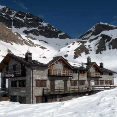
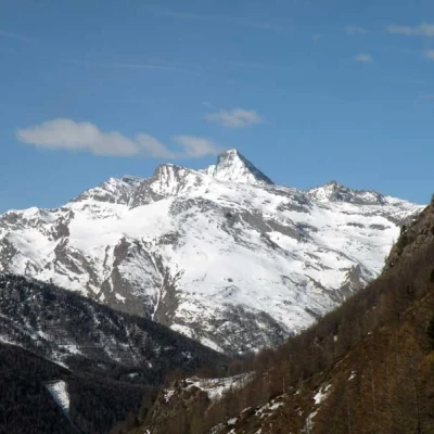
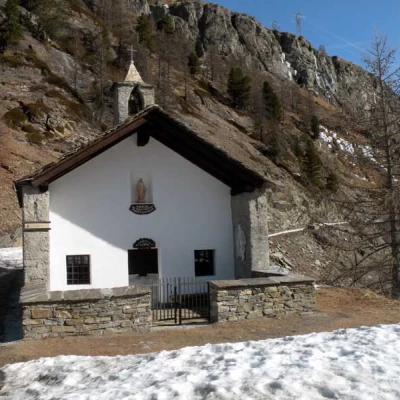
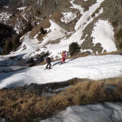
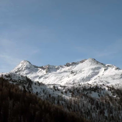
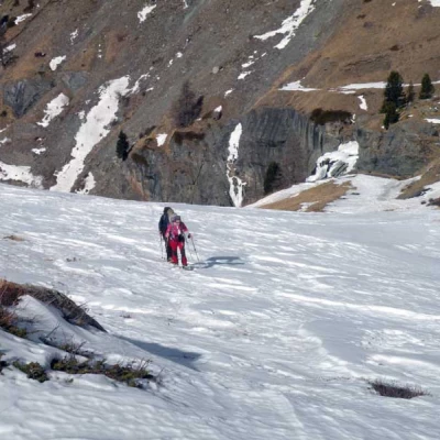
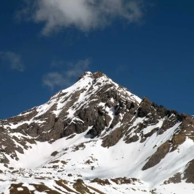
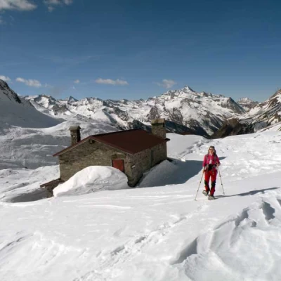
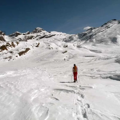
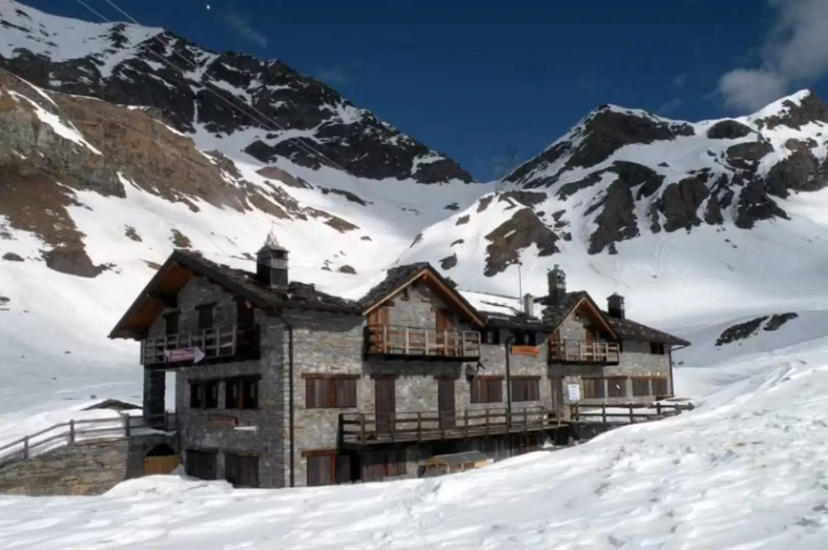
This is not a difficult but very long and tiring hike with a total length of around 21 km and an altitude difference of just over 1,000 m due to a few ups and downs in the upper part. The first part, which is almost always marked, follows the track of the farm road as far as the Cappella degli Alpini (Alpine Chapel), while afterwards, as well as still following the road as far as the large terracing, the route unfolds, without any obligatory path, in a splendid high mountain environment, passing through a vast basin where the not excessive gradients make the ascent pleasant. The panorama at the hut is somewhat closed in by the surrounding peaks (Tersiva, Torre Ponton and Punta di Peradzà) and the Finestra di Champorcher above, while to the west, the Grivola group makes a fine show, accompanying us throughout the climb. The only negative note to the landscape is the presence of the high-tension pylons. The climb, which is not technically difficult, must be tackled when the snow conditions are well prepared, because great care must be taken in the section between the Cappella degli Alpini and the steepest hairpin bends, where a slope is crossed from which avalanches and blocks of ice can fall, detaching from the upper falls.Description
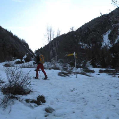
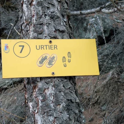
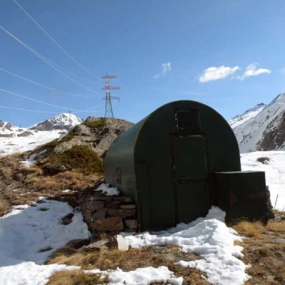
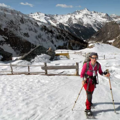
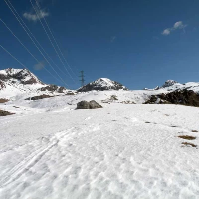
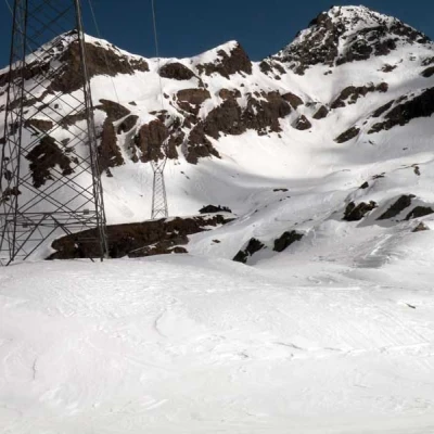
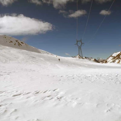
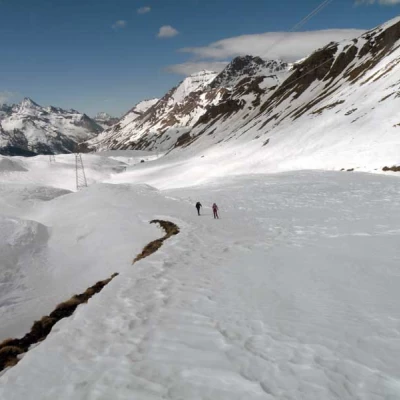
From the bottom of the car park, take the little road on the left and, having reached the markers located a little further on on the left, go up the stepped path that gains height in the forest; after a few bends, pass the first marker, leaving it on the right, and arrive at a second marker near a crossroads (1707 m) at which you keep to the left. During the ascent, we come to the farm track that goes up to the left and, near a small wooden bridge, we move onto it and follow it for a few hairpin bends, at the end of which the road traverses to the right. After losing a few tens of metres in height gain, you reach a post from which you can reach the Goilles dessus huts (1902 m) located just above; continuing on the track of the farmstead, you pass a fork (1918 m) ignoring the road that branches off to the left and, continuing on a slight slope, you continue in a traverse, then climbing up a steep slope above which is the Chapel of the Alpini (2032 m). The route continues along the road, still traversing the side of the mountain, which at first makes a couple of easy hairpin bends, passing under some icefalls, and then, in order to pass a large terrace, passes others where the slope increases considerably; before the track of the track turns decisively to the left, it is worth climbing up the wide slope where, at the summit, there is a forestry bivouac (2273 m) situated on a grassy spur. Continuing on the left, go up another gentle slope, at the top of which there are some huts (2306 m), beyond which the space opens up even more, with the splendid upper part of the Urtier valley in front of you. Beyond the huts, continue towards the bottom of the valley and, taking the high-tension pylons as an approximate reference point, go over some not very high bumps at the most convenient points, reaching the Broillot huts (2407 m). From here, continue on a slight descent towards a large terrace that you climb up, remaining on the more comfortable slopes to the right of a small band of rocks and pylons. When you reach the upper plateau, you move slightly to the left, approaching a pylon from which you make a long traverse on a slight descent and from where you can already see the hut located near the last pylon in the valley. From this point, choose the best route to reach it, trying not to lose a lot of height difference and then go over the last prominence on which the hut is located; you can then descend and ascend to the left on a gentle slope or descend and ascend to the right with a shorter route but with a few short sections that are a little steeper, always aiming for the pylon on the side of which the construction is located.
