Serrafredda, from Coumarial
Access
Leaving the motorway at the Pont-Saint-Martin toll booth, after 100m turn right and you will come to a first roundabout: take the second exit. A little further on you come to a second roundabout: take the third exit, and you enter the centre of Pont-Saint-Martin. After a few hundred metres you come to the start of the road to the Valle del Lys: turn right and follow it for 10.2km, passing the villages of Lillianes and Fontainemore. About one kilometre after the village, turn right and follow the signs for Pian Coumarial. Cross the Lys and climb up the communal road for about 7.3 km, passing in sequence the villages of Colombit, Pacoulla, Pianpervero, Jugeo, Chouchal, Pra Dou Sas, Cios, Challasc, Colla, Grange, Savaroy, Goy and Coumarial until you reach the large car park at the end of the road. In the adjacent picnic area there is a fountain 💧 for filling up with water: there are no other water points along the route.
How to get there with GMaps
How to get there with Apple Maps
Introduction
A hike within the Mont Mars Nature Reserve. The route develops in the first part along the summer path to the Coda Refuge; it is not difficult even if, in the absence of a track, it requires a good knowledge of the area to find the route.
⚠️ Please note that in Valle d'Aosta Regional Law 27 of 15 November 2004 obliges the use of the avalanche transceiver (ARTVA) for ski mountaineering. The use of the device, together with probe and shovel, is also recommended for snowshoeing.
Description
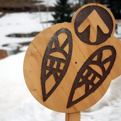
0h00' Leaving the car, you head towards the beginning of the snow-covered slope: here you will come across a signpost representing a pair of snowshoes. Proceed along the track making a right turn and joining the cross-country track. Follow the track to the left, climbing up to a couple of cottages: here turn right and continue on the cross-country track. Climb up through the forest consisting mainly of larch trees until you come to a small variant of the cross-country track; continue straight on, soon reaching the crossroads for Court de Ry (1520m).
0h20' Neglect the track that descends to the right and start to climb more vigorously until you reach the small hamlet of Vercosa (1620m, 0h30').
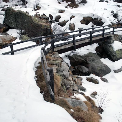
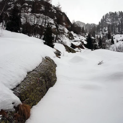
0h30' Leave the track and follow path that leads to the Coda hut. Cross a short plateau to enter the Goillas valley, cross the stream of the same name on a small wooden bridge and resume the ascent through sparse woodland. Follow the line of the summer path, which is not very evident in good snow conditions, until you reach a small clearing. Continue the ascent, passing along the edge of some rocky slabs; you will pass a somewhat narrow passage and then come to another small plateau where you will find a fork in the road (1764m).
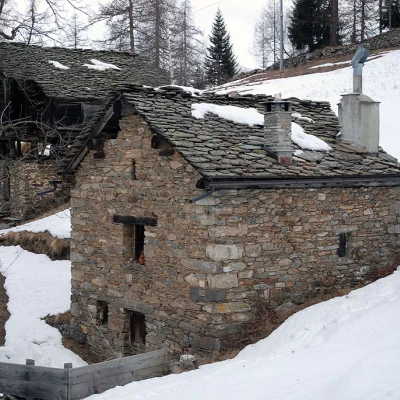
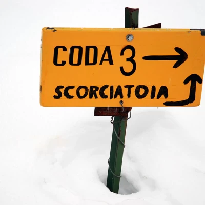
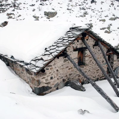
1h10' Turn left and follow the "shortcut" direction indicated by the signpost panel, skirting the small Serrafredda stream. After a small climb, you come in sight of the first farmhouse (1827m).
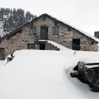
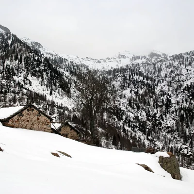
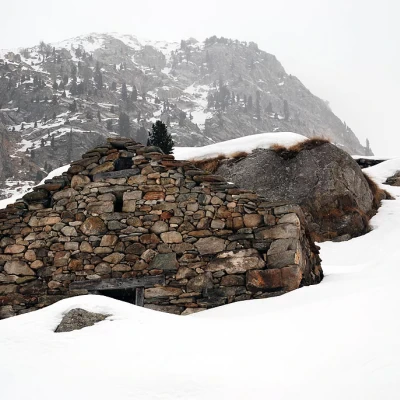
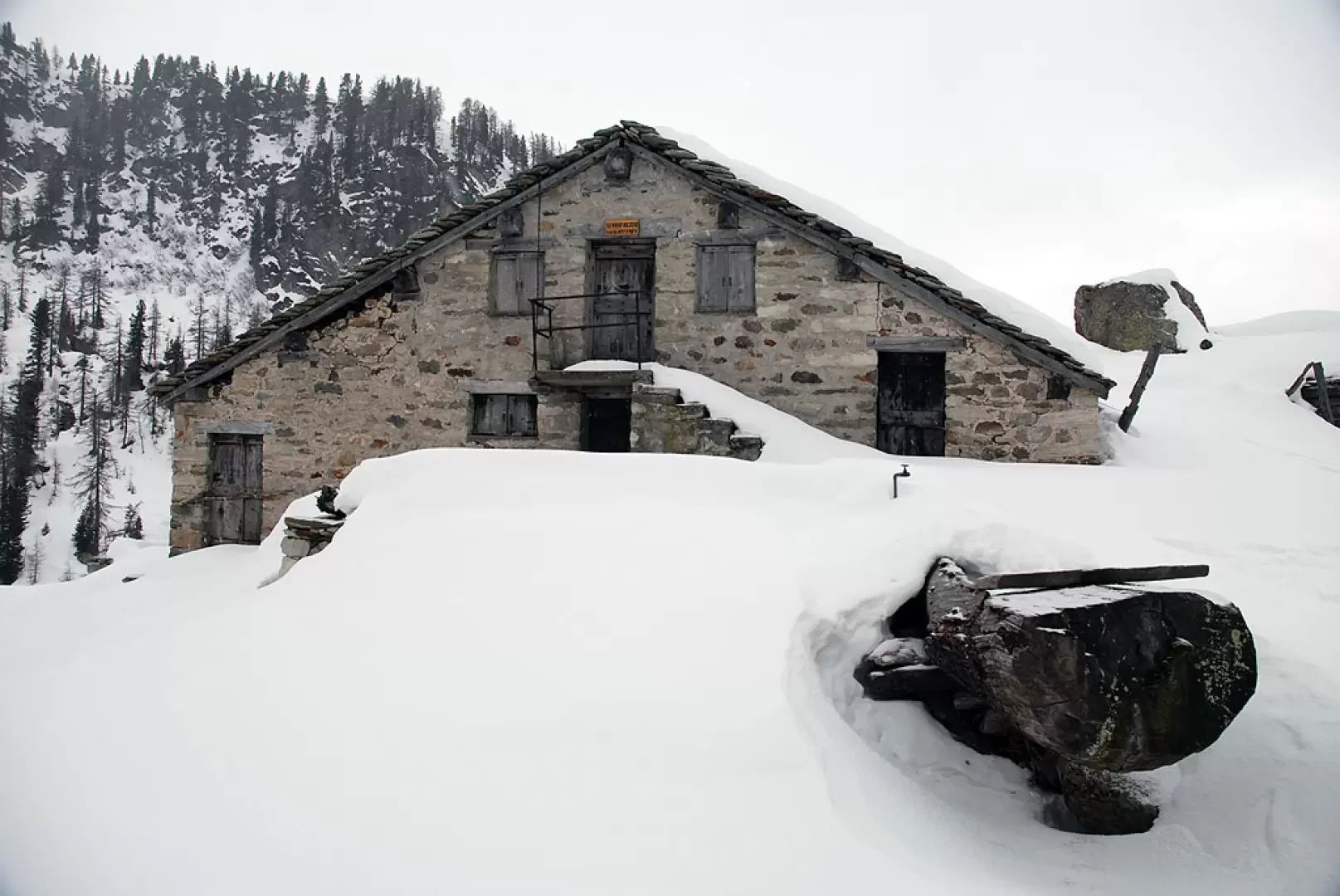
1h25': you go round a rocky knoll and shortly reach the farmhouses of Serrafredda (1841m) 1h30' .
The descent is along the same route as the outward leg 1h00' .
.