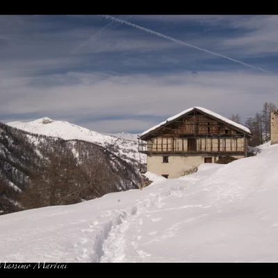
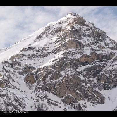
Troncea Refuge, from the Pount daz Itrei

Introduction
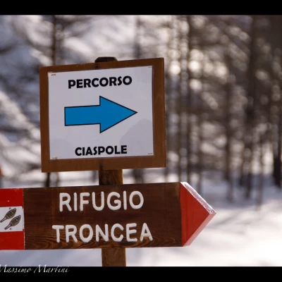
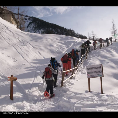
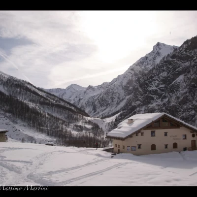
A pleasant itinerary within the Val Troncea Nature Park. A special itinerary has been prepared for snowshoe hikers to reach the refuge.
Description
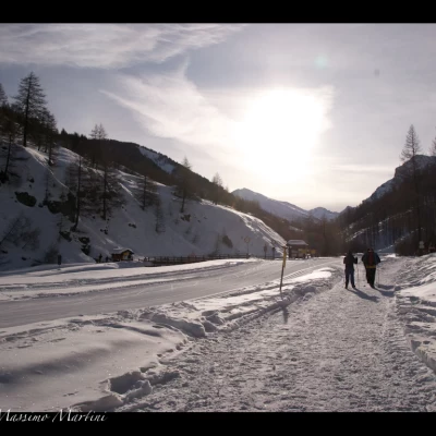
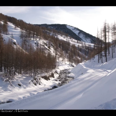
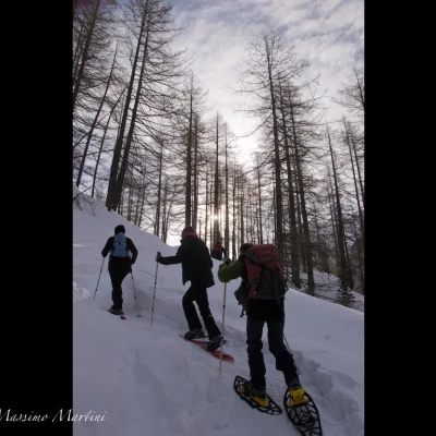
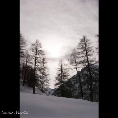
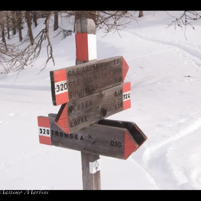
Leaving the car at Pount daz Itrei (1605m), we proceed along a footpath adjacent to the ski slopes. We start off on a slight ascent until we enter the larch forest. The ascent becomes more pronounced as we cross the wood, while below, on the left, we catch a glimpse of the Chisone torrent and the ski-nordic track that runs alongside it. The route, in this initial phase, is articulated with some ups and downs until descending briefly towards the slopes at the Mulino di Laval (1664m, 0h20').
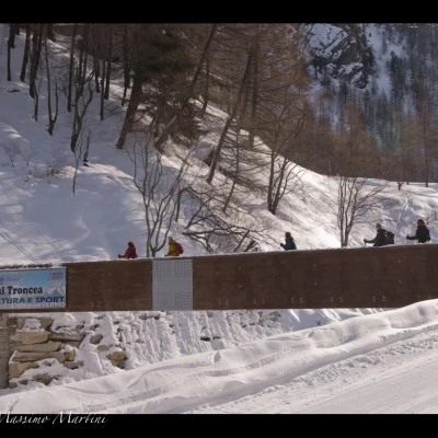
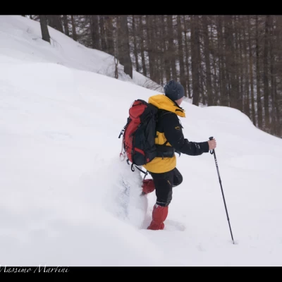
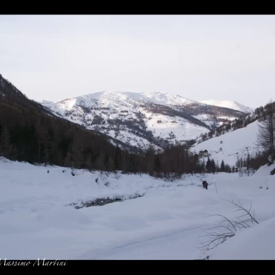
Having to cross the slope we must pay attention to the skiers trying not to step on the milled tracks; after the quick crossing we reach a small bridge that allows us to cross the Chisone stream taking us onto another track that we will follow for about a hundred metres abandoning it and taking up again a beaten track that immediately goes up the slope. After a short steep section, the trail then turns right and continues towards the valley floor, keeping to the orographic right of the stream.

