Marmot Refuge, from Bruil
Access
Leaving the motorway at the Aosta Ovest exit, continue in the direction of Courmayeur. After passing Saint-Pierre, you will reach Villeneuve where you will come to the turnoff for Val di Rhêmes. You take the SR24 of the Val di Rhêmes, passing the municipalities of Introd, Rhêmes-Saint-Georges and Rhêmes-Notre-Dame: when you reach the church in the centre of Bruil, turn left and park in front of the town hall.
Introduction
Short and interesting itinerary in the Gran Paradiso National Park. The Entrelor valley, crossed by the Alta Via 2, is a typical example of a suspended valley of glacial origin, populated by the typical fauna found in the park.
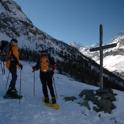
After heavy snowfall, when you reach the cross, keep to the centre of the valley until you reach Entrelor
.Description
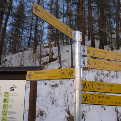
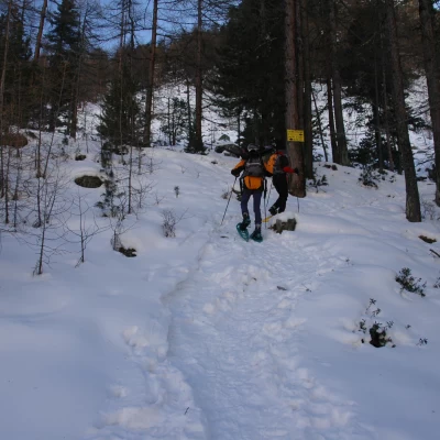
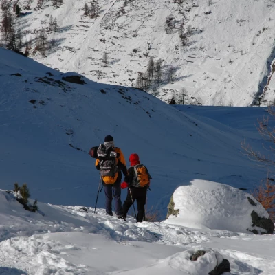
Our itinerary starts from the square in front of the Rhêmes-Notre-Dame town hall: you will come across the signposts indicating the Alta Via 2 and shortly afterwards you will see a yellow panel indicating Entrelor; turn right and cross the village until you reach a small wooden bridge crossing the Doire de Rhêmes. Cross the bridge to reach a hut of the Gran Paradiso National Park and the start of our itinerary. At a group of marker posts, a track starts (normally) that follows the Alta Via 2 itinerary; go up a short stretch between scattered larch trees until you reach a snowy little road, walk along it for a short distance to the left, then turn right and immediately start to climb the snowy slope up to the Pré du Bois pastures (1774m, 0h15'). Continue to the right across the alpine pastures until entering the predominantly larch forest. After a series of twists and turns, go up the ridge below the Château Quelet until you come to the junction for the Sort valley (1840m, 0h25'): ignore, when present, the track that leads to the left and turn right, following the indications on a metal panel stuck on a tree. Proceed for a long, almost flat stretch, skirting the landslide that descends from the Château Quelet and then resume the ascent into the forest. The ascent is rather demanding, although short, and takes place in the stretch of forest covering the step of the Entrelor hanging valley, which is reached at the height of a wooden cross (2104m, 1h00'). From this point, the landscape changes radically; first of all, a beautiful panorama opens up over the upper Val di Rhêmes from Granta Parei to Becca Laugier and, above all, we begin to appreciate the harsh environment of the Entrelor valley, catching sight of the pass of the same name in the distance.
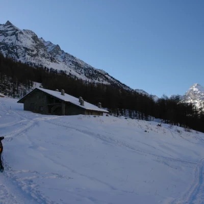
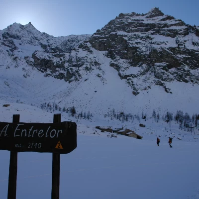
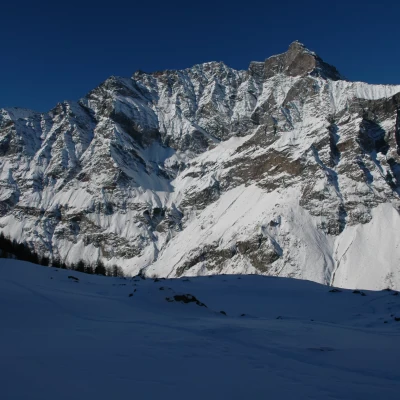
We continue along the valley, climbing a short height difference until we come to a wooden post indicating the Entrelor alpine pastures (2142m, 1h10'): from here we turn right, cross a frozen stream on a wooden bridge and finally reach the Entrelor alpine pastures (2142m, 1h15'). From up here, there are interesting views of Pointe de Rabuigne (3261m), opposite, and of the entire Entrelor valley floor, from Tête d'Entrelor (2580m), to Col d'Entrelor (3007m), Cima d'Entrelor (3430m) and on to Becca Tsambeina (3162m).
The descent follows the same route as the ascent (0h45').
When there is a lot of snow, it is advisable to reach the alpine pastures by keeping to the centre of the valley to avoid possible avalanche detachment.
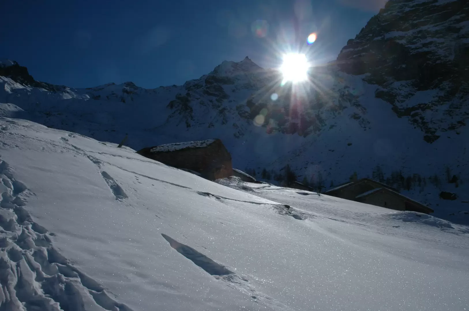
During the winter, especially in December and January, the alpine pastures are practically always in the shade: take this detail into account if you want to enjoy a bit of sunshine on arrival at the alpine pastures. An example: Sunday, 15 January 2006, 5 minutes of light sunshine in Entrelor.
Paline at the start © 2006 Massimo Martini | 102.75 KB
Coming to Pré du Bois © 2006 Massimo Martini | 46.33 KB
Fastening to Entrelor © 2006 Massimo Martini | 75.17 KB
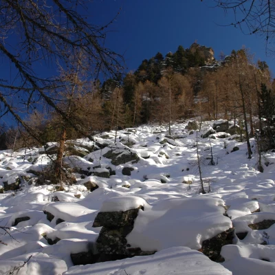
Château Quelet © 2006 Massimo Martini | 92.14 KB
Wood Cross and Granta Parei © 2006 Massimo Martini | 69.89 KB
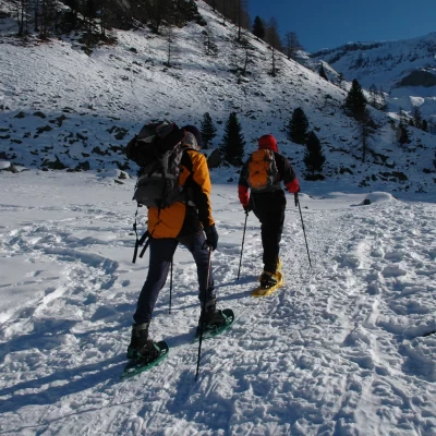
Rise up the Entrelor valley © 2006 Massimo Martini | 108.25 KB
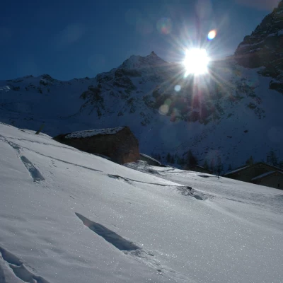
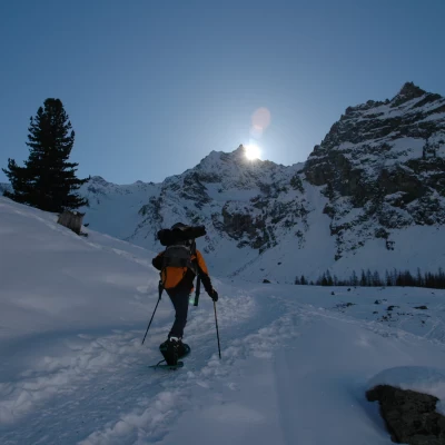
First ray of sun... © 2006 Massimo Martini | 47.86 KB
Near the goal © 2006 Massimo Martini | 60.12 KB
Pointe de Rabuigne © 2006 Massimo Martini | 74.52 KB
A glance up to Col d'Entrelor © 2006 Massimo Martini | 61.32 KB
Photos:
Entrelor, dim sunshine at the alpine pastures ©2006 Massimo Martini
Tour type:
A/R
Difficulty:
WT2
Equipment:
Snowshoes, poles, Arva, probe and shovel
Recommended Period:
December, January, February, March, April
Overall Time:
2h00'
Ascent Time:
1h15'
Descent Time:
0h45'
Exposure:
West
Starting Height:
1723 m
Ending Height:
2142 m
Difference:
419 m
Distance Travelled:
5.00 km
Objective Hazard:
Access:
Photo:
Entrelor, tenuous sunshine at the alpine pastures ©2006 Massimo Martini
Type Route:
A/R
Difficulty:
WT2
Equipment:
Snowshoes, poles, Arva, probe and shovel
Recommended Period:
December, January, February, March, April
Overall Time:
2h00'
Access Time:
1h15'
Descent Time:
0h45'
Exposure:
West
Start Height:
1723 m
End Height:
2142 m
Difference:
419 m
Distance travelled:
5.00 km
Objective Danger:
After heavy snowfall, on reaching the cross, keep to the centre of the valley until Entrelor
.
