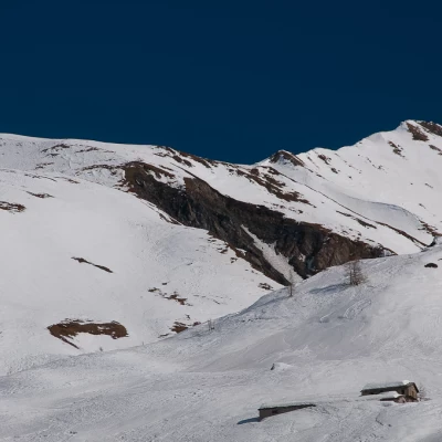
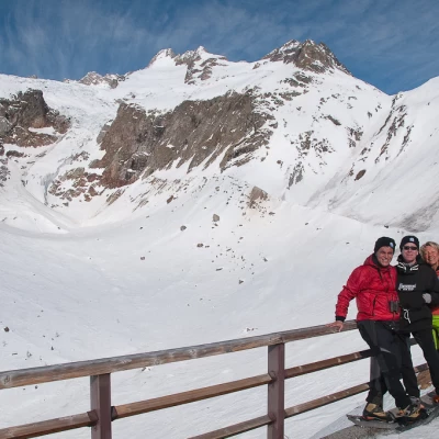
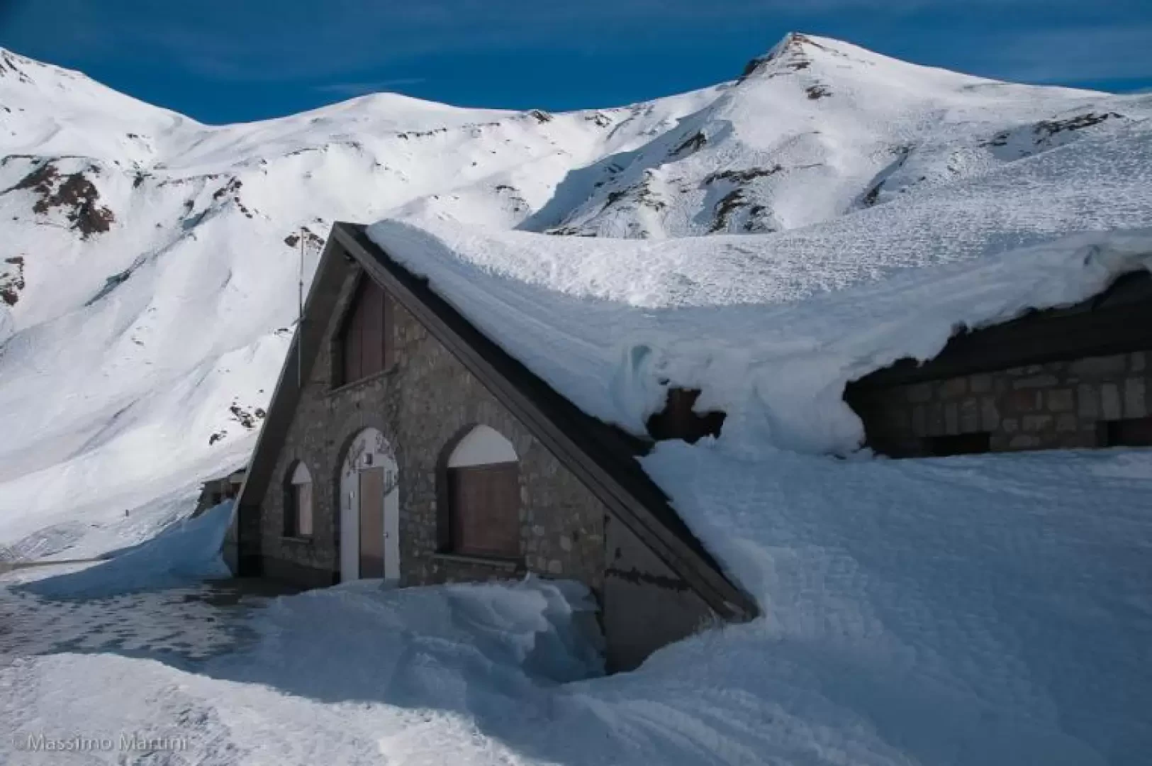
Refuge Elena, from Planpincieux
Introduction
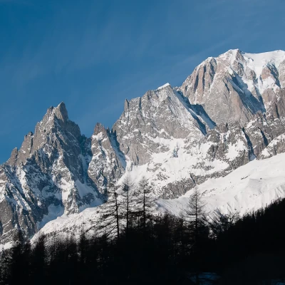
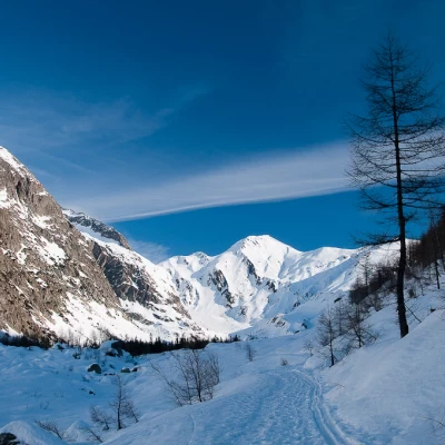
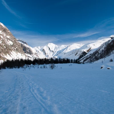
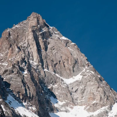
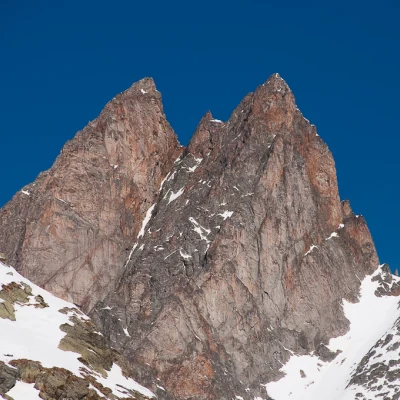
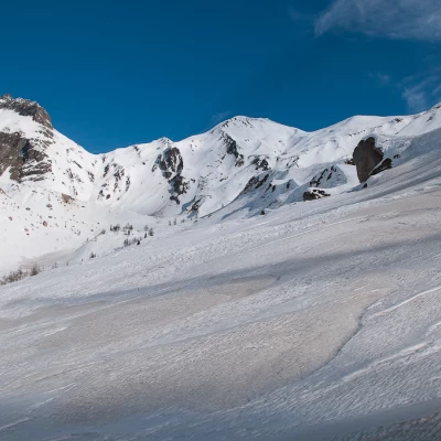
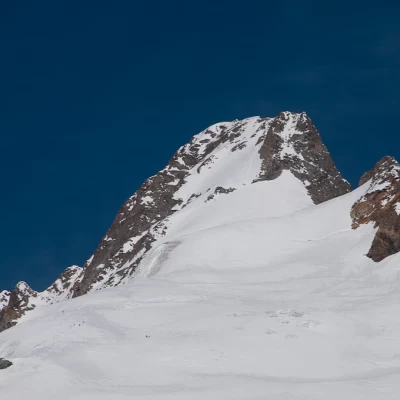
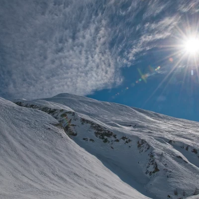
Long hike that crosses Val Ferret practically in its entirety. Crossing the valley at a slow pace allows you to appreciate the splendid peaks that surround it with privileged views of the Grandes Jorasses, Aiguille de Leschaux, Mont Greuvettaz, Aiguilles Rouges du Triolet and Mont Dolent. The proposed route should only be tackled in ideal snow conditions (risk 1) and with a careful assessment of the snowpack conditions. Although it does not present any particular technical difficulties, the trip must therefore be carefully prepared both in terms of the day on which it is to be carried out and the time of departure.
Description
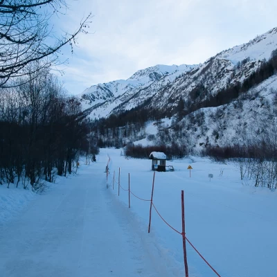
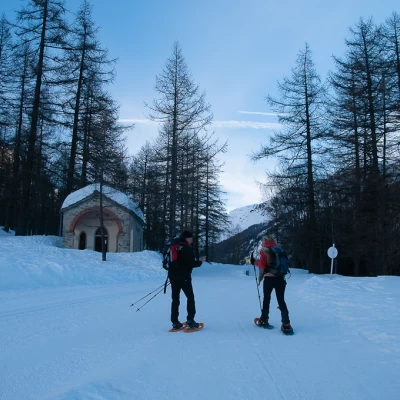
From Planpincieux (1583m), take the footpath (groomed snow track) that runs alongside the Nordic ski slope. After an initial slightly uphill section, you cross the track at the Chapel of Our Lady of Healing (1619m). The trail continues with slight undulations, passing several small villages (Pont, Tronchey, Praz Sec). Continue along the banks of the Doire de Ferret until reaching a small bridge that takes you to the orographic left of the valley and to Lavachey (1641m, 1h00').
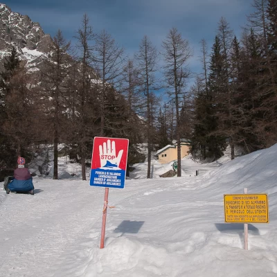
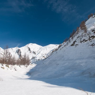
Continue for a short distance on the cross-country track (keeping to the side so as not to disfigure it) until reaching the Fréboudze bridge: here there are some panels indicating the avalanche risk, continue along the road, which with a couple of hairpin bends gains a little height before reaching the turnoff for the Bonatti hut (1702m, 1h20'). Neglect the crossroads and continue on the summer road that climbs a short stretch close to the slope: this is the first of the stretches where there is a risk of avalanches falling, proceed with caution at times when it is not too hot. Once this delicate stretch has been overcome, you enter the wide esplanade that precedes Arnouva; continue following the route of the summer road, reaching a small relief surmounted by larches. Entering the wooded area, you will come across a small chalet and then leave the forest and walk along a new open field plateau until you reach Arnouva (1769m, 2h20'), the starting point for summer hikes in the area.
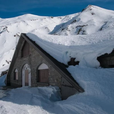
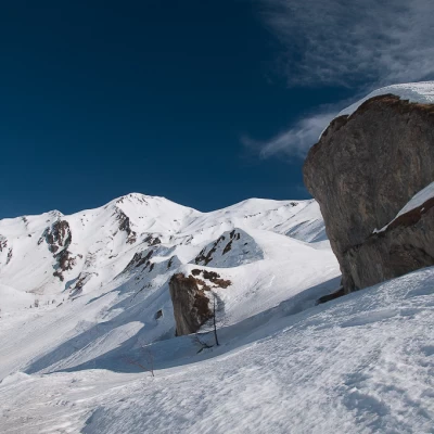
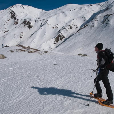
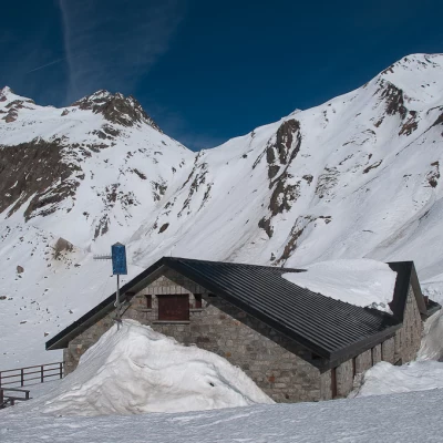
Go over a small bridge and continue diagonally to the right, heading for a sparse wooded area: cross it briefly to reach the summer trail near the start of the Tour du Mont Blanc route. Continue into a slight depression, passing another delicate point due to possible avalanches; after the depression, continue on a diagonal to the foot of a characteristic rocky knoll. Go over the knoll and turn right, climbing up a small valley in the first section and then taking the ridge of the same until reaching a short plateau. With a slight turn to the left, take the foot of a snowy slope to be climbed in a straight line until reaching another snowy knoll. The destination is now close by, head towards a weather station and from here you will soon reach the Elena refuge (2061m, 3h15').
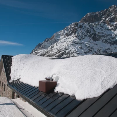
From the refuge, you can appreciate a splendid view of the Pré de Bard Glacier, in its winter guise, and a privileged view of Mont Dolent (3820m).
The descent takes place along the same route as the ascent (3h15'): consider well the time of return so as not to cross places subject to risks at the hottest time of the day.
