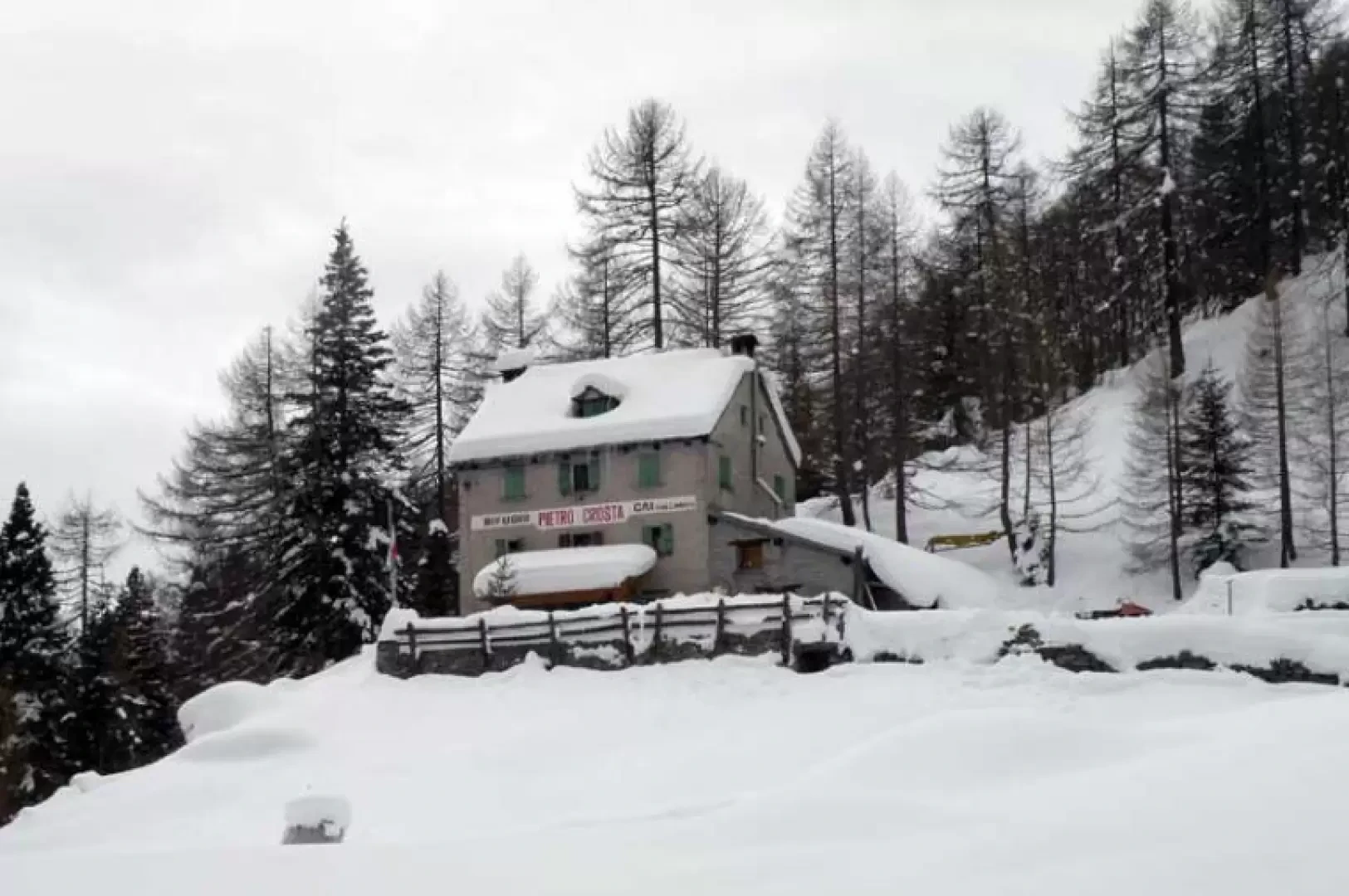
Rifugio Crosta, from Dreuza

Edited by:
Giancarlo Beretta
Updated at: 03/09/2024
Access
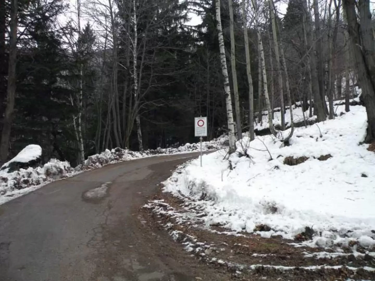
You take the A26 Genoa-Gravellona road to its end at Gravellona Toce and continue following the signs for the state border. Once you have passed the main town of Domodossola, continue along State Road 33 as far as the junction for Varzo-Trasquera where you exit and follow the signs for the San Domenico ski resort. Just outside the town of Varzo, at a bend, a small road branches off to the right with signs for Coggia and Dreuza and also signs for the hut. Follow the small road past the hamlet of Coggia as far as the no-trespassing signpost just before the hamlet of Dreuza, where you can park your car in the small forecourt.
Introduction
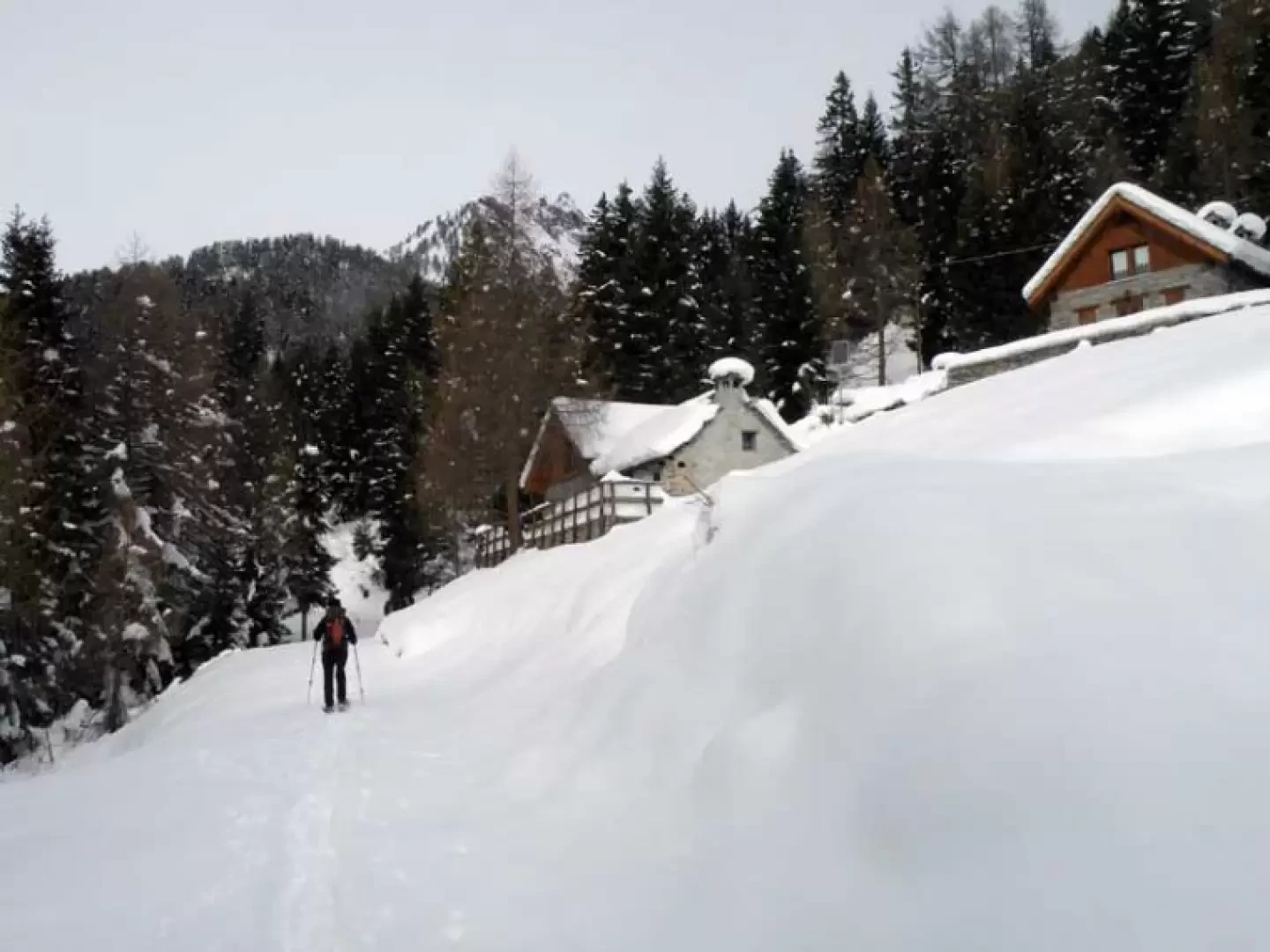
The hut, owned by the Gallarate CAI section, is usually open in winter from early December until the end of April, and it is always best to contact the managers for further information (tel 3408259234 or 3293550935). The route follows an easy path and track sometimes used by snowmobiles, which from the hamlet of Dreuza rises along a panoramic route towards the Simplon area and the lower Ossola valley and reaches the entrance to the Solcio valley where the hut is located. This itinerary is an alternative to the more beaten and frequented one that climbs from Maulone, with which it shares only a last short stretch, and is recommended for hikers who love silent paths immersed in nature.
.Description
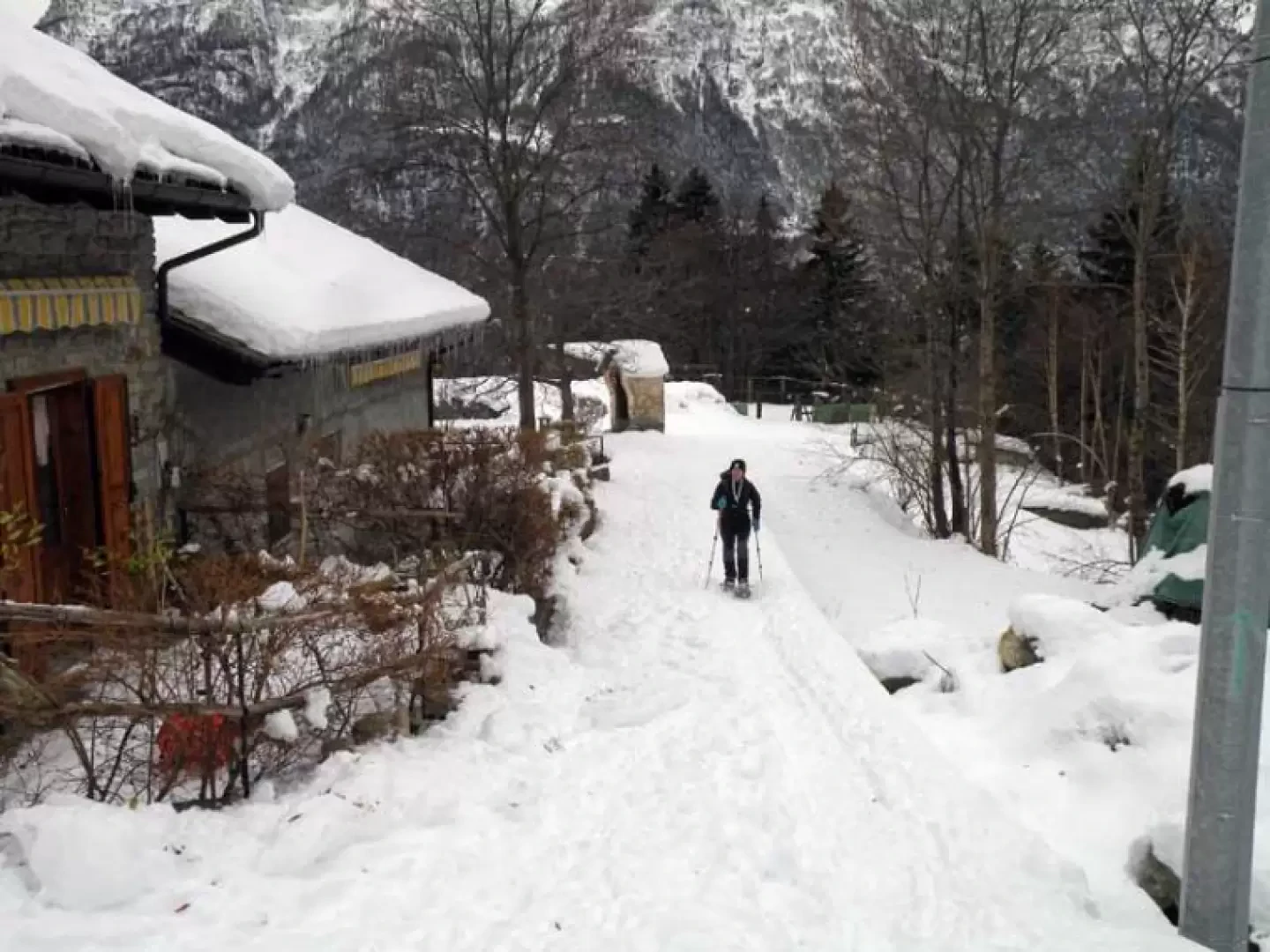
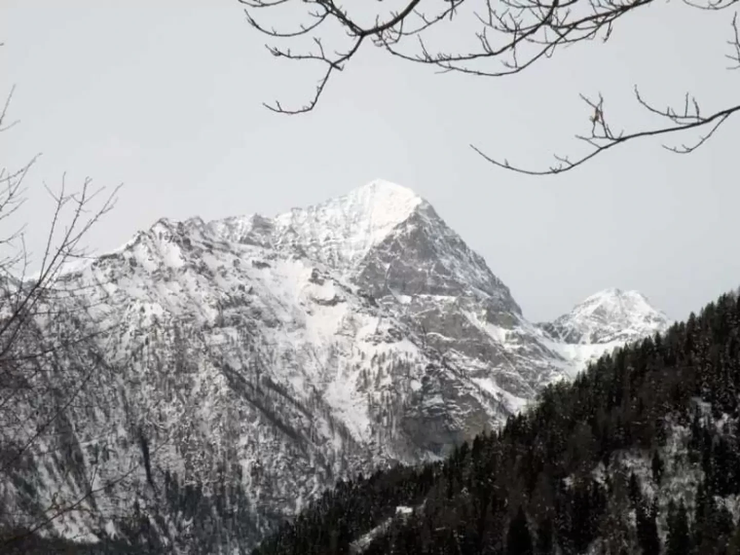
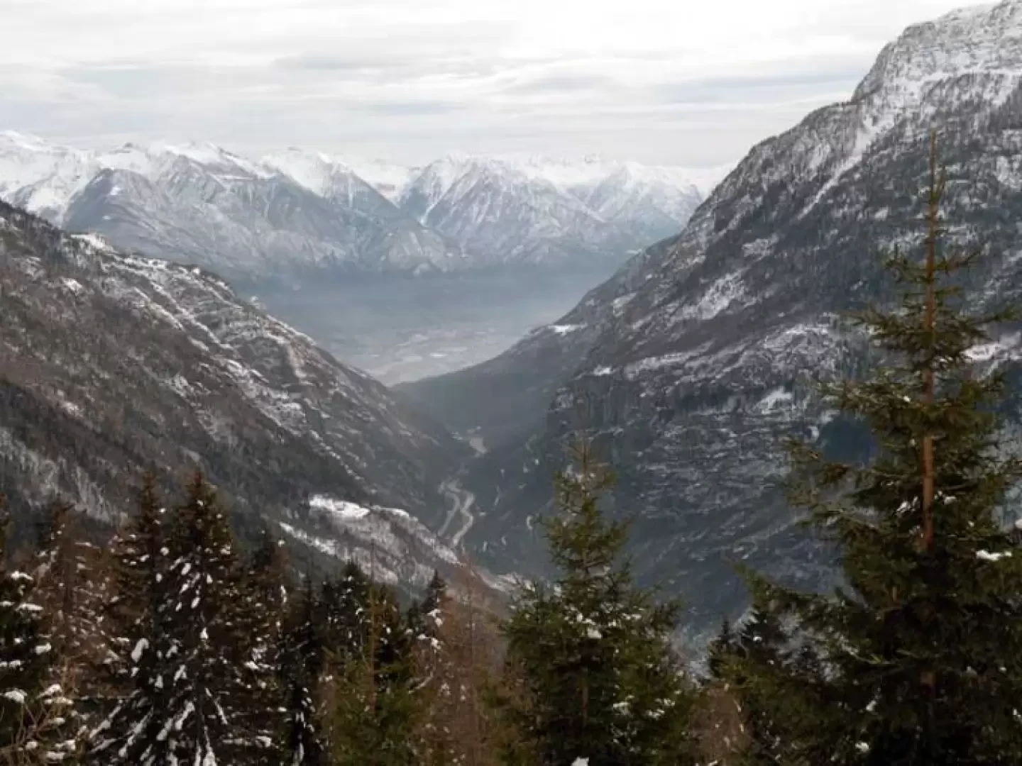
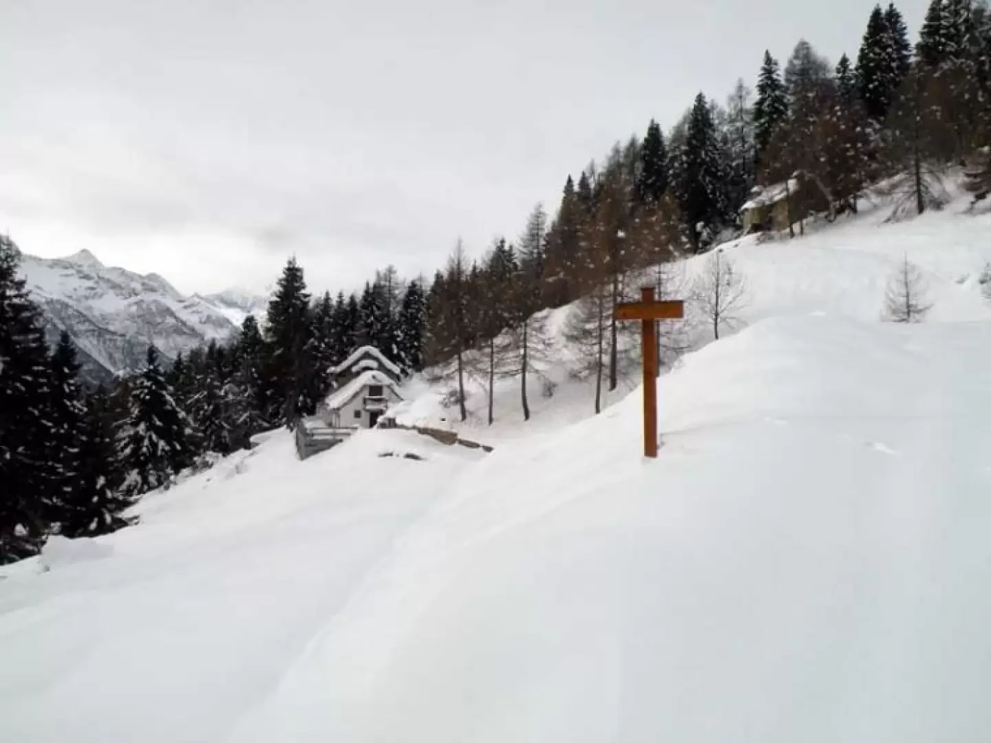
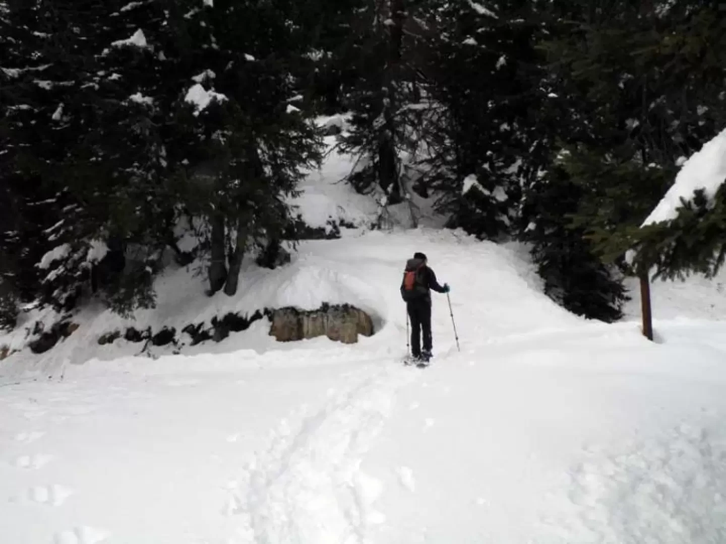
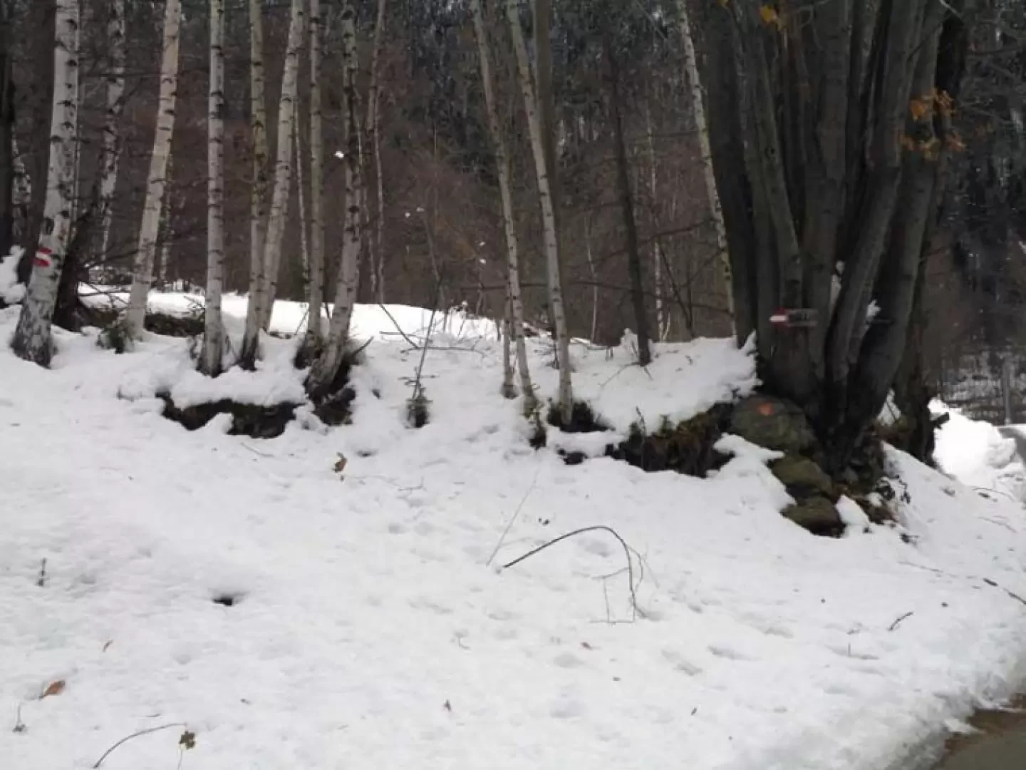
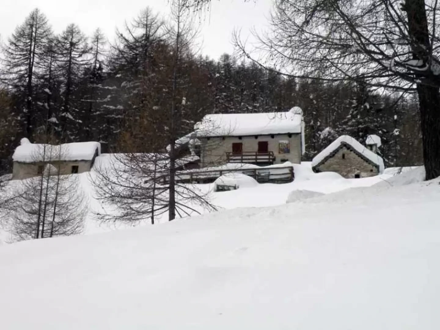
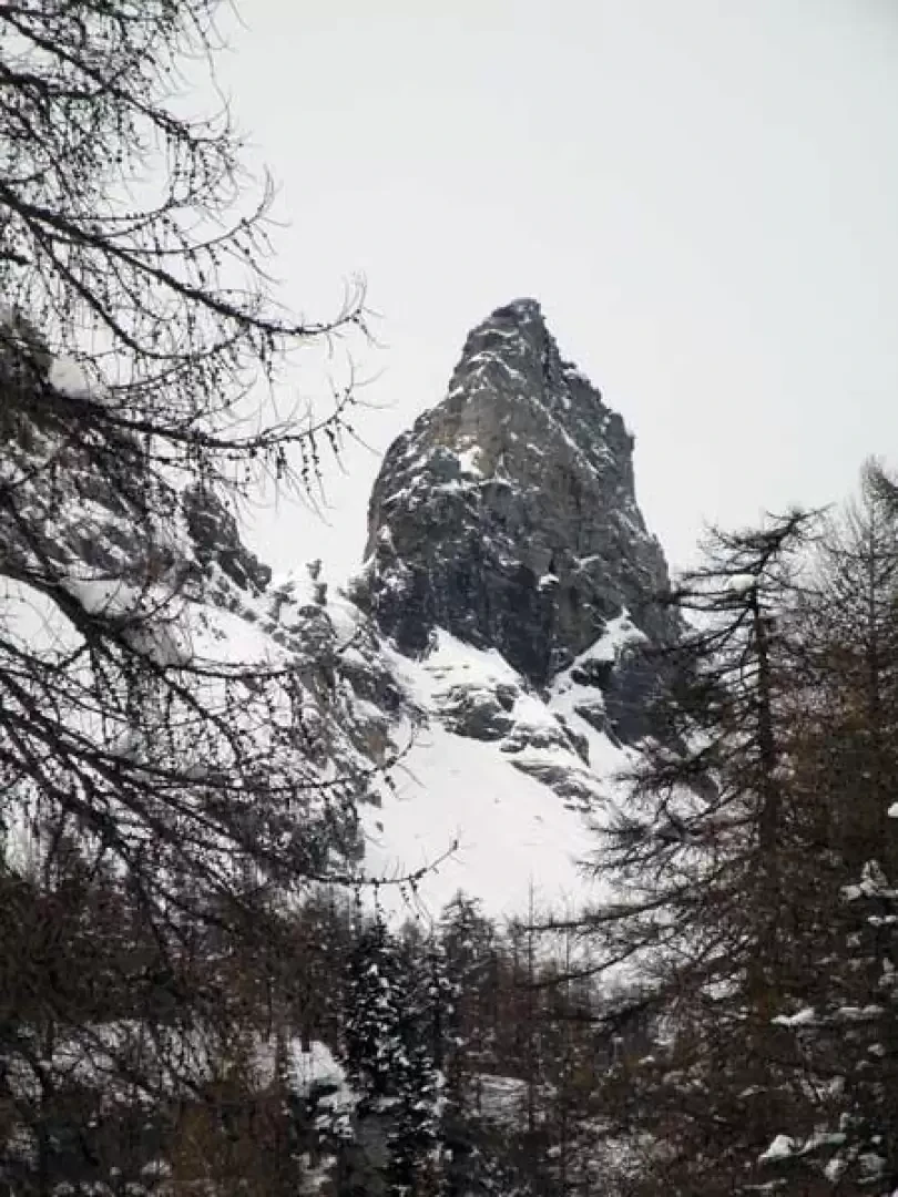
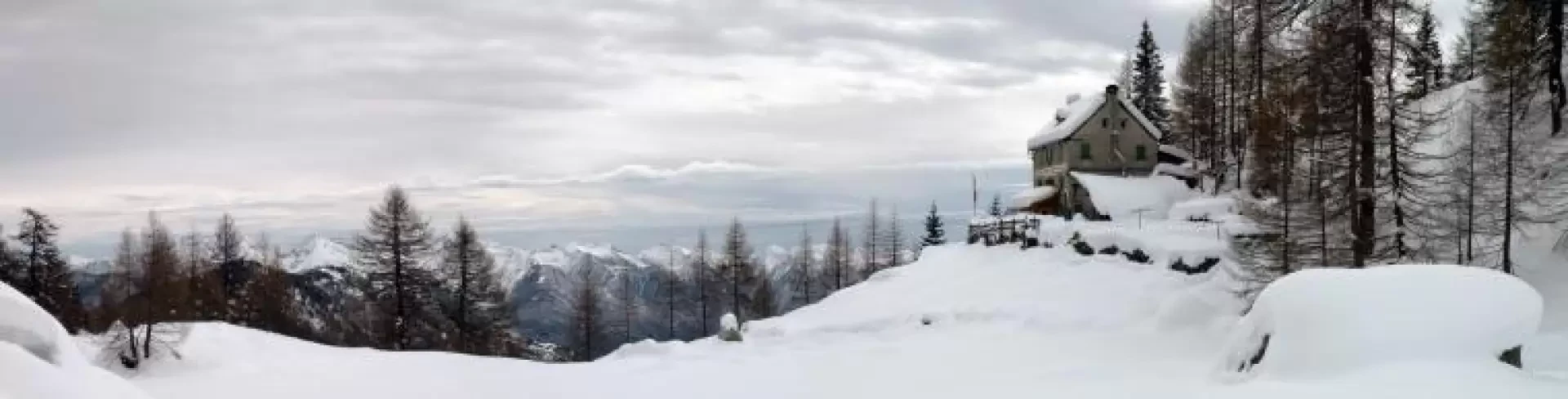
From the car park, continue along the road, pass the first bend and a little further on you will find the sign on the left for Solcio, where the path begins. At the beginning of the ascent, we cross the houses of the village of Valera where we pass an old wash-house and continue left, still on an evident path, towards the buildings located higher up. After a short stretch, you come to a farm track that you follow uphill to the left, entering the sparse woodland and where you come to the first fork (1084 m), at which you turn right and continue along the gentle hairpin bends of the road that, following the sinuosities of the mountainside, passes by beautiful huts and well-maintained alpine pastures, offering beautiful views with different vantage points towards the Simplon and the plains of the lower Ossola valley. Along the way, one must always stay on the main road, leaving, now to the right and now to the left, the numerous detours, including the one to the Colmine Pass (1313 m), for the small villages that are always well signposted by wooden signs. At an altitude of 1647 m, you arrive at the junction of the busier track that climbs from Maulone. Turn right in the direction of the evident spire of Pizzo Boni, which dominates the Solcio valley, and you will soon pass just below Alpe Solcio, where a colourful fresco can be admired on the wall of a hut. One more bend and on the left you can see the construction of the hut, located on the opposite side of a small plateau, which you soon reach, first passing by the old winter hut that was off-centre from the main construction. Please note that the route to the hut is forbidden to snowmobiles (except for residents).
Galleria fotografica