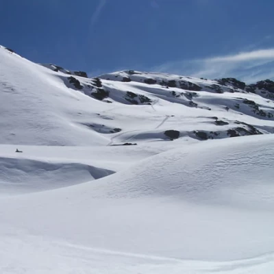
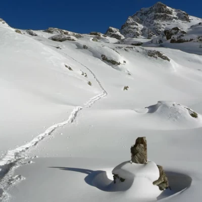
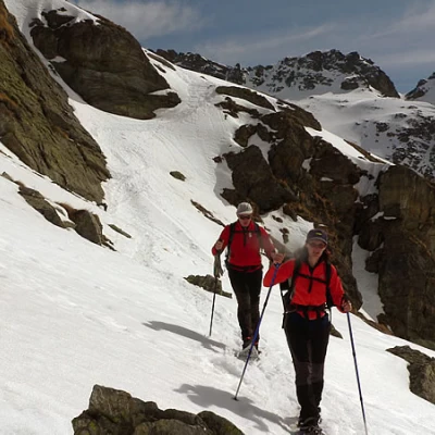
Punta Valnera, from the car park at Fenillettaz
Access
Leaving the motorway at the Verrès exit, enter the roundabout and take the second exit. Proceed in the direction of the town centre and, after 300m, turn left onto the regional road for Val d'Ayas. Follow the regional road for 16.5 kilometres, passing the villages of Challand-Saint-Victor and Challand-Saint-Anselme before reaching Brusson. Pass the village and, just before the junction for Col de Joux, turn right to take the communal road to Estoul. Continue on the communal road for about 7 kilometres, passing the village of Estoul before meeting a large car park 🅿️ where you can leave your car.
How to get there with GMaps
How to get there with Apple Maps
Introduction
Long but rewarding tour showing ever-changing glimpses of the Val d'Ayas, to be carried out with well-seasoned snow in the upper part of the route.
Description
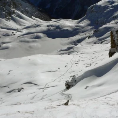
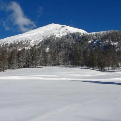
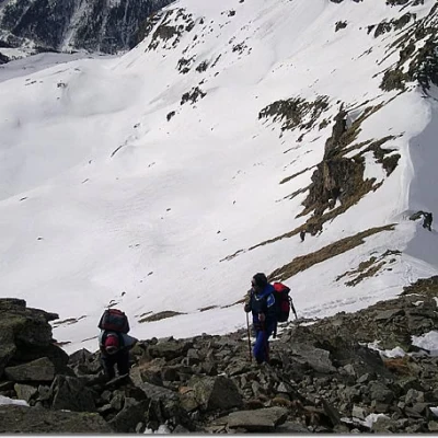
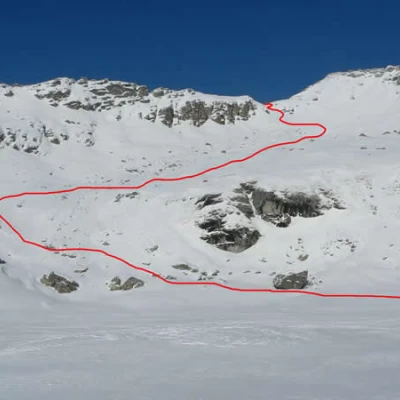
From the car park, head north-east to cross, slightly uphill, the cross-country track a couple of times in the direction of the obvious Mont Bieteron, and after passing a few sparse trees, you come to a trace of the cross-country road. Turn left and follow it for a few hundred metres until you reach a fork with a path that turns sharply to the right (a stone marked 6A and another marked Estoul). The path climbs, among large larches, at first with a slight incline, then the slope becomes steeper and, with a few bends, crosses a step in the Vallone del Rio Ch'amen, reaching a hollow. The ascent in a small valley precedes the crossing of the stream and continues crossing, with a few ups and downs, snow-covered slopes up to an altitude of about 2,300 m where it bends to the left and, in a semicircle, begins to climb again in a north-easterly direction up to the Estoul lake shelf. Continue trying to contour the outlines of the two lakes on the right, after which you climb a slope in the direction of the collar, often beaten by strong winds, south of punta Valnera, which becomes more and more sloping (the final part is steep, so assess well, depending on the conditions, the best route to take). When you reach the col, go up to the right, following the snowy ridge and the trail tracks on debris that you may have discovered, and in a few minutes you will reach the summit: from here, the panorama sweeps from the entire Rosa group, the Combin and the distant Mont Blanc, to the peaks of the Val d'Ayas and those of the middle and lower Val d'Aosta.
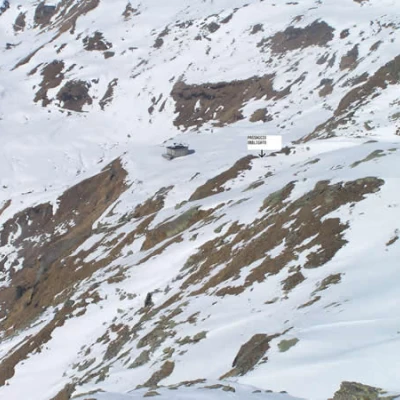
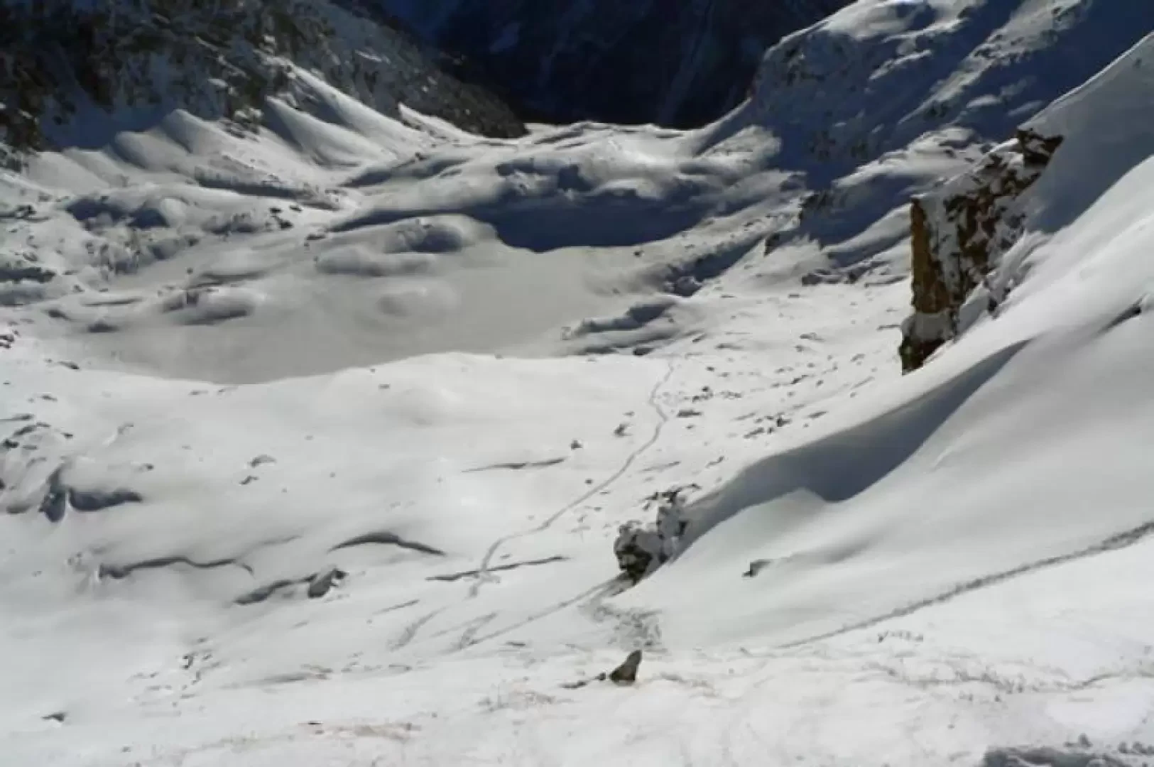
For the return journey, you still reach the col and descend to the right, a few metres a little steeply, towards the clearly visible Arp hut, first passing a series of ups and downs below the col itself and then, keeping to the right (you can see some tall stone cairns), you pass under the southern slope of the Valfredda peak. Continuing below the vertical of its peak, you should see, on a large boulder, an evident yellow marker with the number and a light green marker; from here, without descending any further towards inviting slopes (below there is a very steep section with an overhang on the road at the end!), continue straight on for a short distance and then make a traverse, quite steep, slightly downhill for about fifty metres to reach another large boulder with another evident yellow marker already visible from the beginning of the traverse itself (you must try to spot it because it is a compulsory crossing point). Now continue a little further in the direction of the hut until you find a short gully of a few metres that descends to the right (this too is an obligatory passage), skirting a rocky buttress and, after a short traverse that is also quite steep, at its end you reach the plateau where the hut is situated. From here, cross the stream that descends from the Valfredda lake, reach the nearby alpine pastureland and, following the numerous tracks that are usually present, reach the ski slopes; after crossing them, take the off-road track that you came along on the way up, and you will reach the car park again.
We do not recommend the excursion in case of poor visibility or fog because it is difficult to identify the obligatory points to pass through from afar.
