Punta Leysser, from Vetan dessus

Edited by:
Giancarlo Beretta
Updated at: 04/05/2025
Access
Leave the motorway and, after 450m, leave the motorway junction turning right onto the regional road for the Cogne valley. After 400m at the roundabout, take the second exit and enter the state road , to be followed for about 3km, passing through the village of Saint-Pierre, until you reach the village of Luboz. Turn right onto Via Corrado Gex (to be followed for 300m) and then turn right onto the regional road to be followed for about 7.7km until Saint-Nicolas and, just beyond the main centre, a crossroads: continue straight on the regional road following the signs for Vétan. When you reach Petit Sarriod, leave the regional road and turn left. Follow the communal road through the villages of Person, Grand-Sarriod, Gerbore until you reach, after 4.2km, Vétan and the large car park at the end of the road.
How to get there with GMaps
How to get there with Apple Maps
Introduction
A very popular route with constant sun exposure and an exceptional panorama both during the ascent and from the summit.
Description
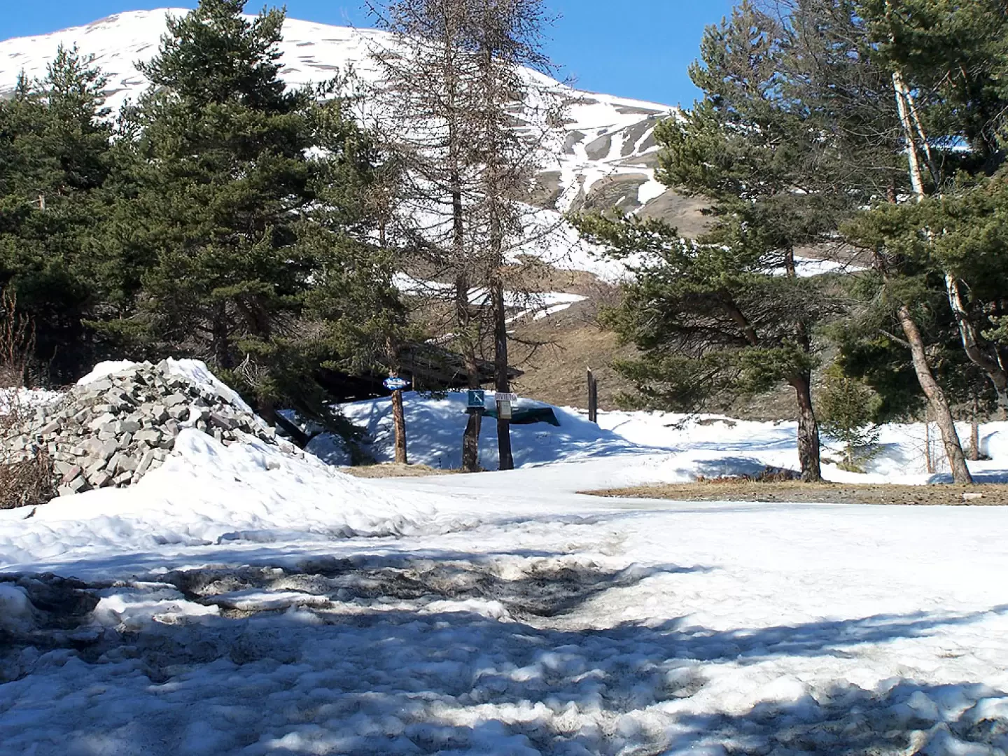
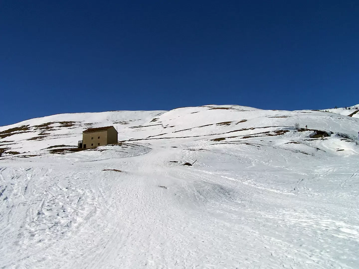
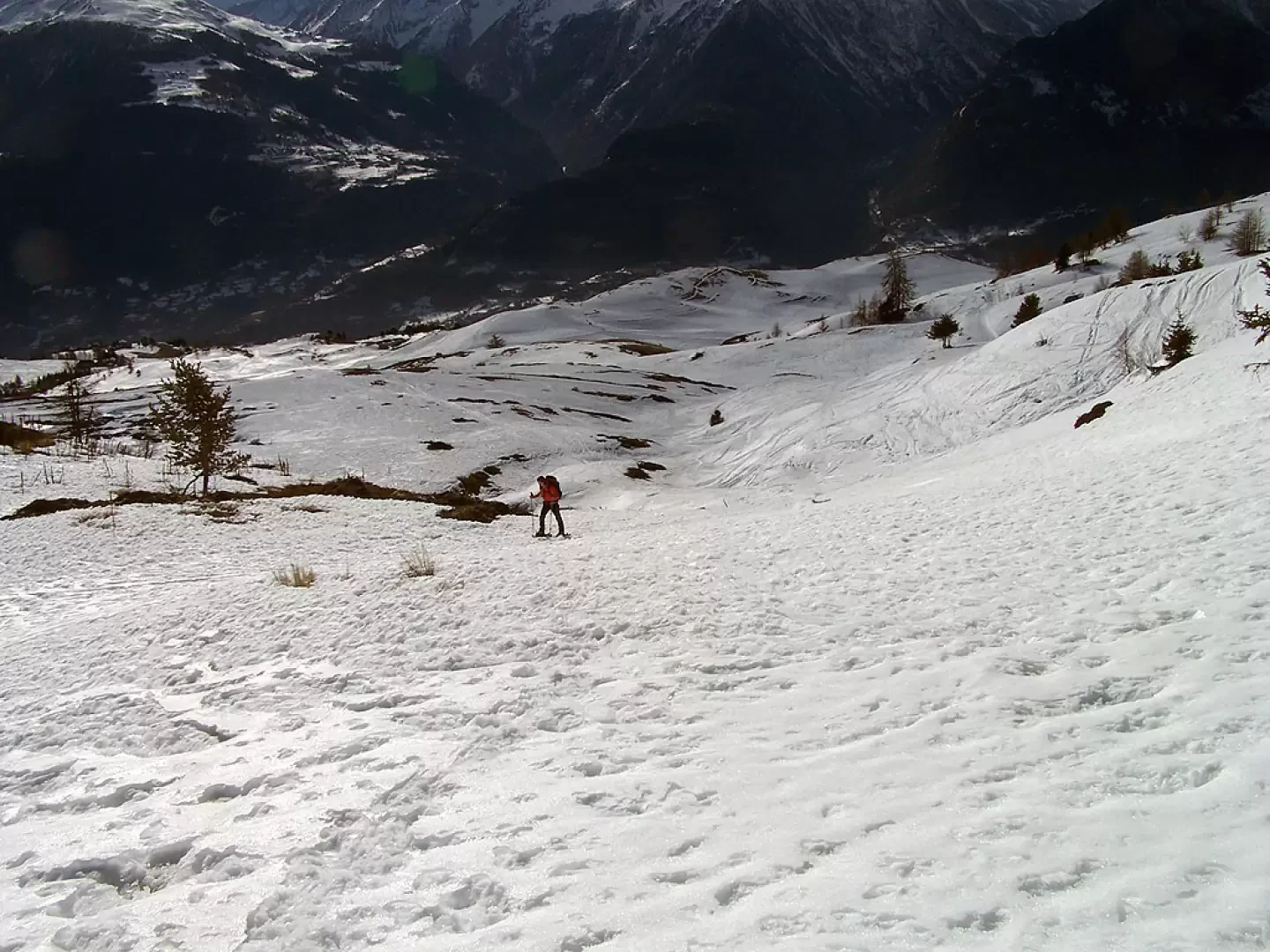
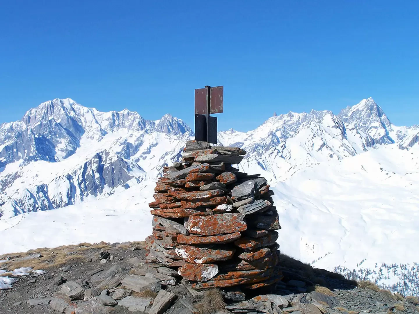
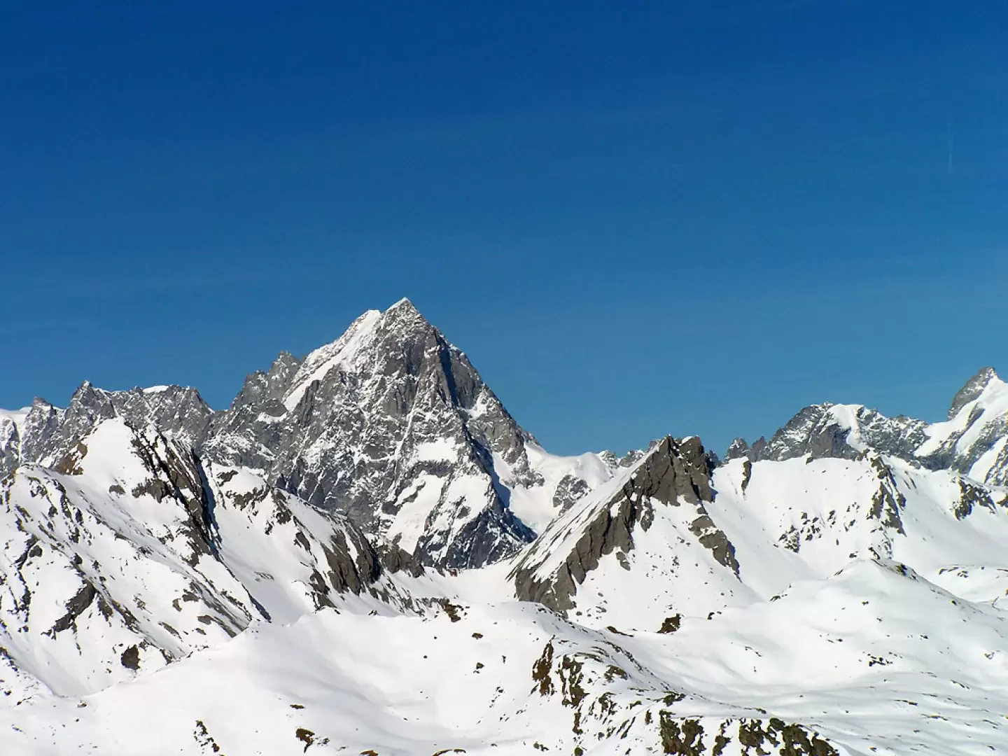
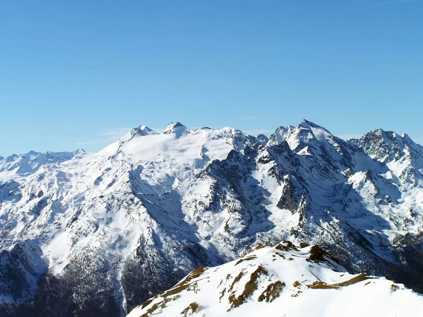
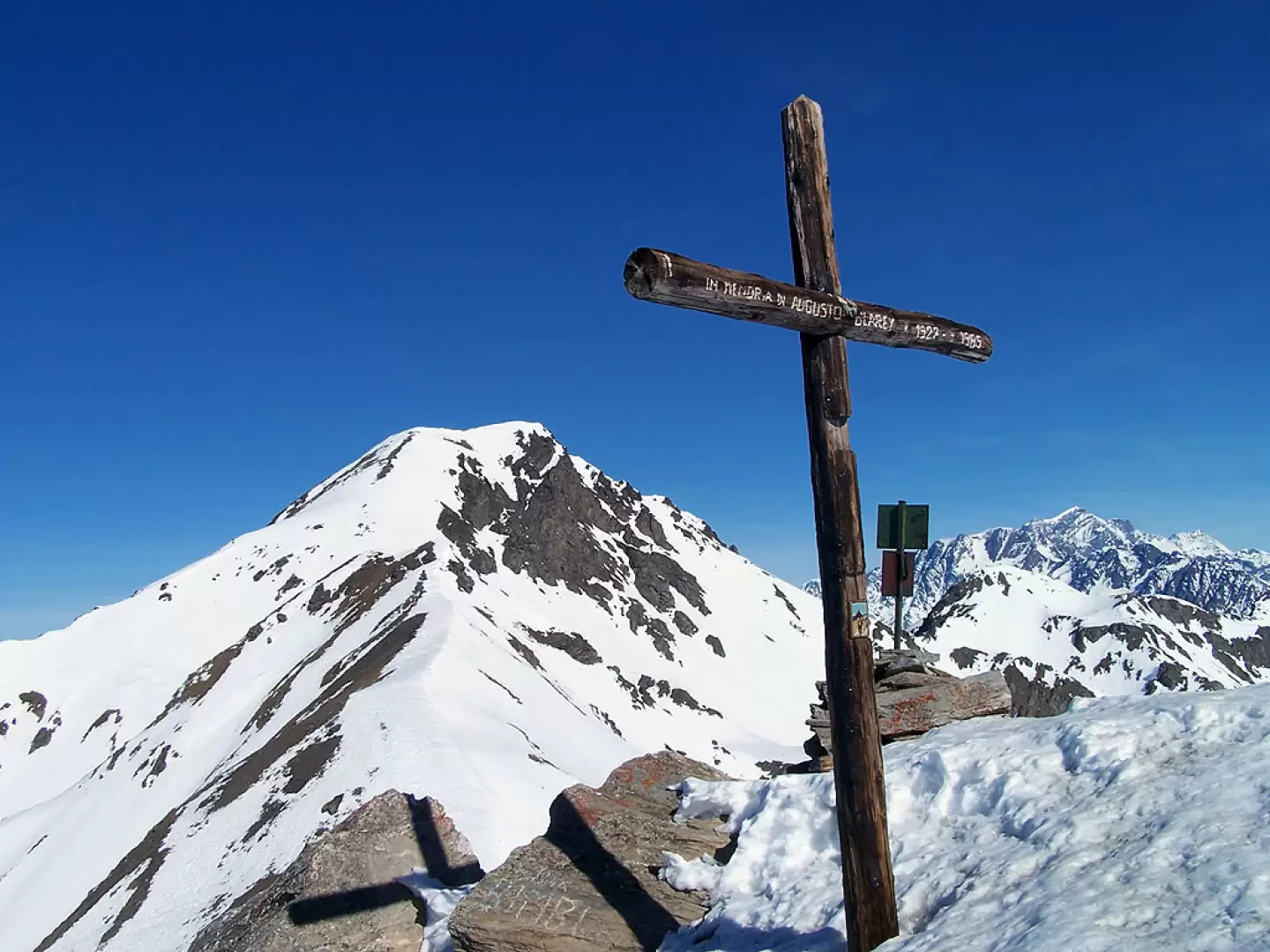
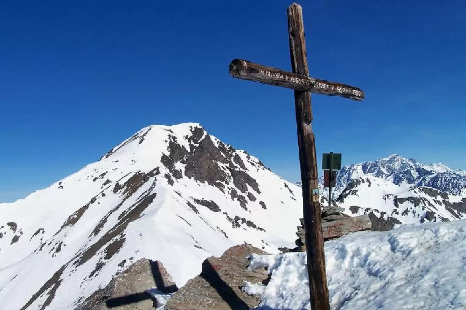
From the end of the car park, climb up a steep but short stretch of well-trodden track that takes us just above the houses and where the Vétan basin opens up with our destination already clearly visible right in front of us. We now continue on a false level towards the Alpe Châtelanaz, the only construction present, which we pass on the right to continue on the tracks of the snowcat until we reach a fork in the path, at which we take the left-hand direction. You will soon reach a water intake, which you leave on the left and, in order to shorten the route, climb a steep slope that takes you back to the track a little higher up; follow it, still climbing, until you reach the last offshoots of the long ridge that descends from the peak. From this point, the ascent route is no longer obligatory and, following the numerous tracks present at will, we ascend through the sparse vegetation on steeper slopes towards the summit, which we reach, moving more and more to the left as it approaches. Having reached the summit, we continue eastwards on the ridge in the direction of the summit, now only a few minutes away, first descending to a col and then climbing a slight slope to reach the summit cross. The 360° panorama is truly spectacular: to the north, from Mont Blanc to the Rosa group, there is an uninterrupted succession of 4000 m peaks, while from east to west, the gaze runs from the contiguous Mont Rouge de Vertosan and Mont Fallére towards Emilius, the Grivola, Gran Paradiso and Rutor, to name but the best known.
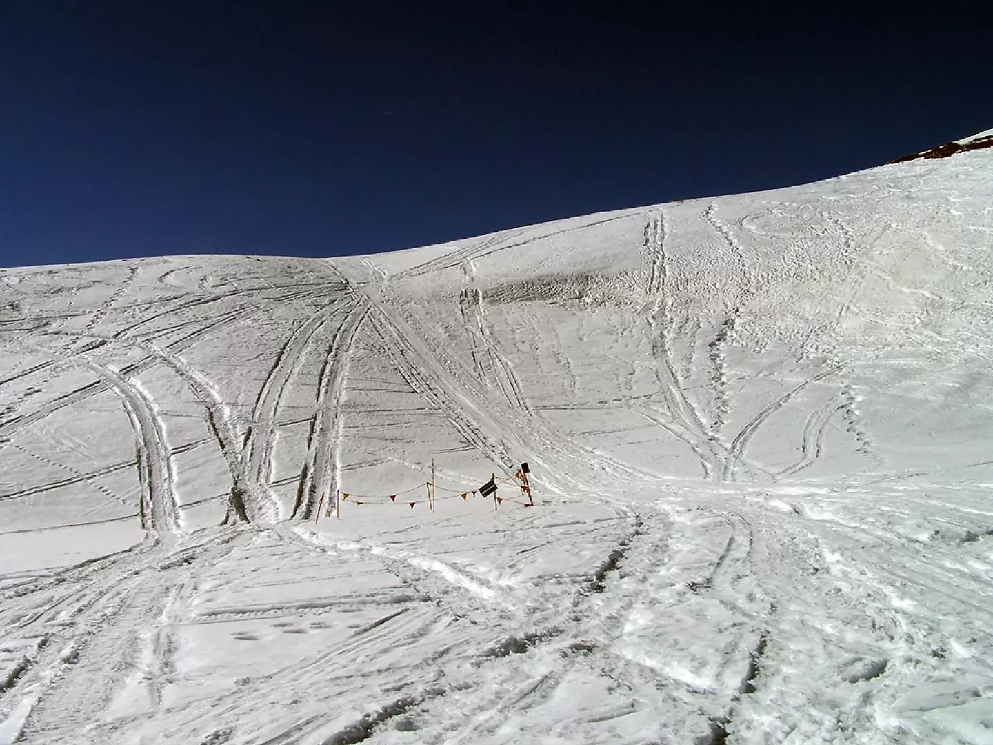
At the approach of the summit, it is best not to follow the tracks of ski mountaineers cutting below the ridge: the slope of the long traverse may be too steep for snowshoes.
Galleria fotografica