Punta d'Orogna
Introduction
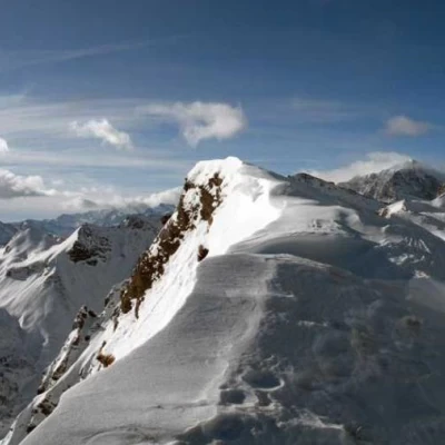
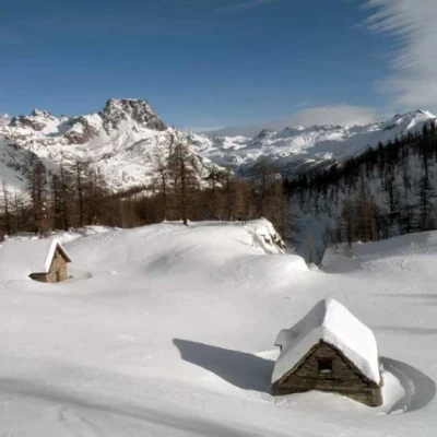
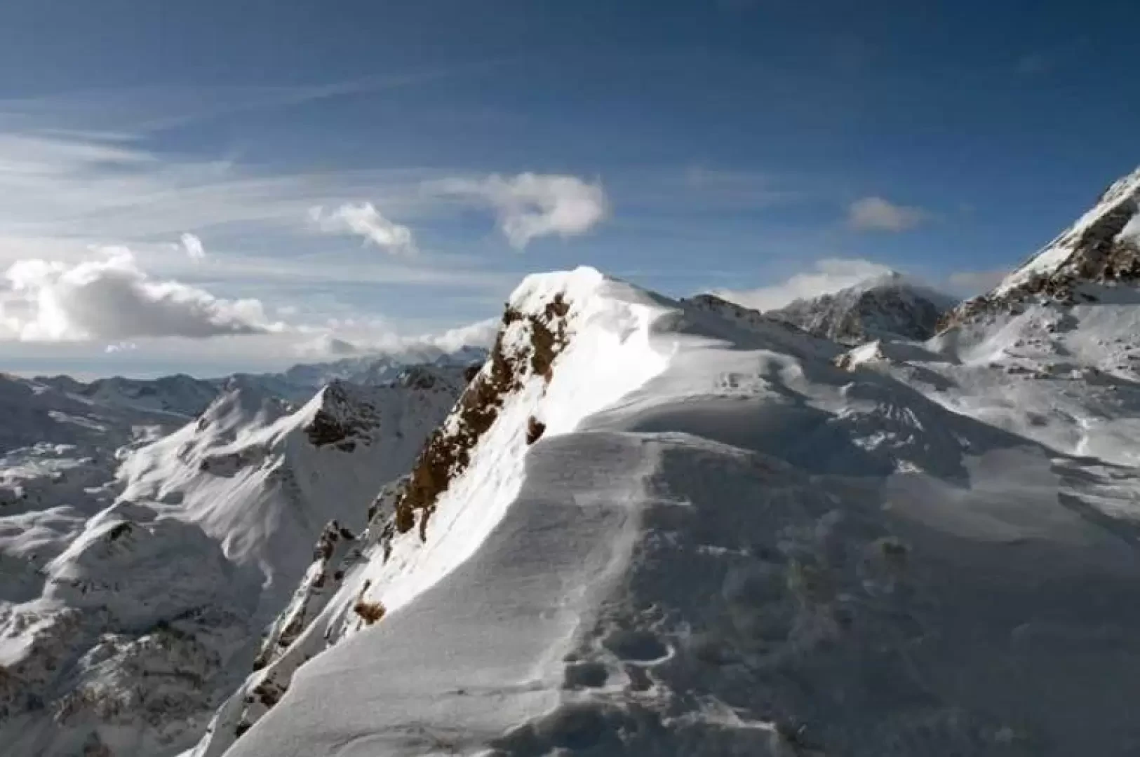
The airy peak, which can be reached without encountering any particular technical difficulties, is located above the Bondolero valley and lies at the head of the Buscagna valley between Scatta d'Orogna to the east and the Buscagna pass to the west. The itinerary is almost always well marked up to the crossroads beyond Alp Misanco, while further on it is a little less frequented as most hikers head towards Monte Cazzola. Some attention must be paid to the frames of the small peak. The wide open spaces outside the sparse forest offer enchanting 360° views over the entire Devero Natural Park and the peaks adjacent to the Antigorio Valley, and the high cliff that descends to the bottom of the Bondolero Valley is impressive.
Description
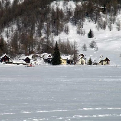
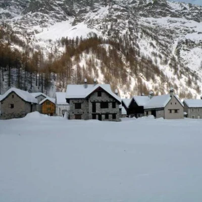
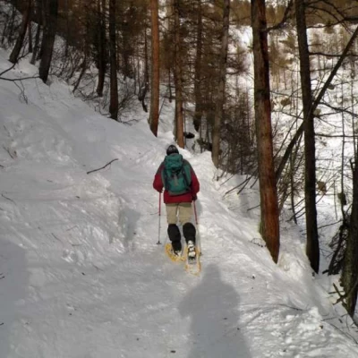
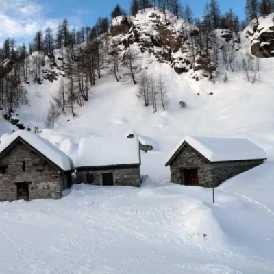
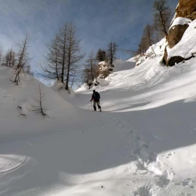
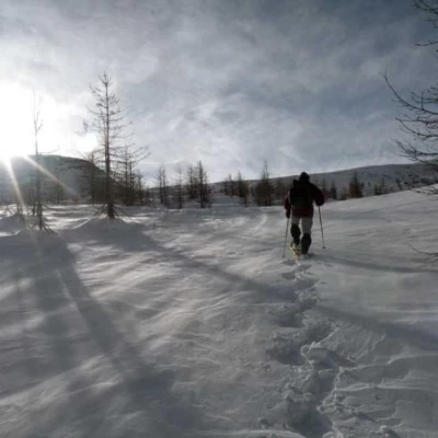
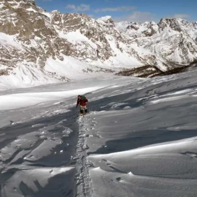
From the car park, head towards the tarmac road that climbs up into the first houses of the Devero plain and immediately at the first fork, at the signposts for Alpe Misanco, turn left towards a bridge that you cross. Walk along the edge of the plateau to reach the small village of Pedimonte. At the beginning of the latter, there are still signs for Alpe Misanco, which direct us left to cross another bridge. We begin to climb at a moderate gradient in the woods, following the course of the Buscagna stream for a short distance. We make a few hairpin bends and, deviating slightly to the left, we move further and further away from the stream, reaching another small bridge. After crossing it, the slope becomes a little steeper, climbing quite directly towards the upper part of the wood, which becomes sparser and heads towards a rampart at the foot of which is the small plateau where Alp Misanco (1907m) is located. Go past the alpine pasture and climb up the wide slope on the right of the wood for a short distance to an altitude of about 1960m, from where you turn sharply to the right to climb up the low ridge with a few trees and then continue, skirting the side of the mountain, with a few ups and downs. This brings us to two small huts (2036m), which we leave on the left and ascend towards a bottleneck from which we continue in a sort of corridor between the bumps. In a short time, you arrive in the open spaces of the upper part of the Buscagna valley, often beaten by the wind, and continue south-eastwards, without any obligatory route, now climbing briefly and now passing through the lower points of the wide snowy humps, keeping mainly to the left of the wide valley. After a few ups and downs, you pass just below the 2402m altitude and finally see the summit that is the destination of the hike; you still pass a small depression and then begin to climb the last stretch, a little steeper, that leads to the small but scenic peak.
