Punta della Croce, from Colle San Carlo

Edited by:
Giancarlo Beretta
Updated at: 22/09/2024
Introduction
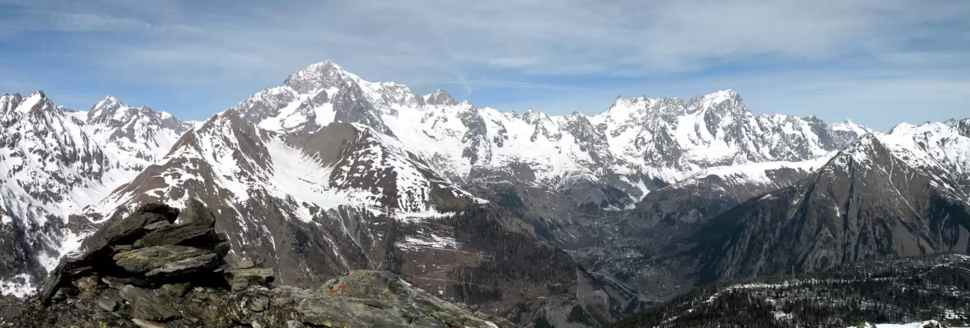
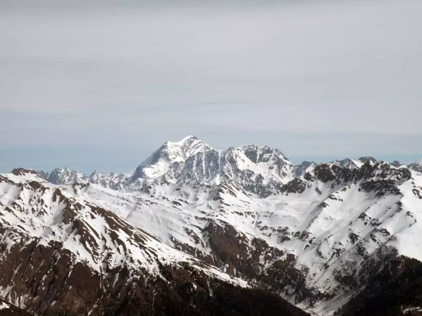
The Punta della Croce is, on many maps, only listed, but its name is in logical sequence with the underlying pass of the same name located to the south of it; this peak is located on the long ridge that descends from Mont Cormet to Colle San Carlo. The second highest peak is topped by the remains of military fortifications, which are also found on the ridge towards the pass. The ascent is made not by the easier and more frequented route passing by Lake Arpy, but by the steeper north-east ridge; the ascent from this side involves more difficulty, as you have to traverse exposed traverses in the woods and the last steep and exposed slope. It is advisable to carry out the excursion with good visibility both to enjoy the exceptional view and because, in the event of fog, a good knowledge of the area is implicit; in addition, the snowpack must be well bedded in the upper traverses below the summits. The beautiful panoramas are dominated by the nearby Mont Blanc mountain range to Grand Combin and Cervin; in addition, the gaze sweeps over all the peaks surrounding Morgex, La Salle and Courmayeur, and those forming the nearby district of La Thuile.
Description
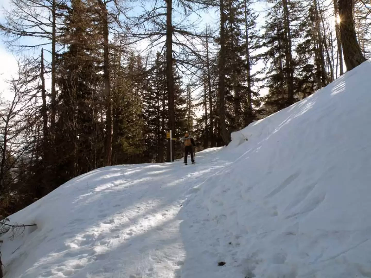
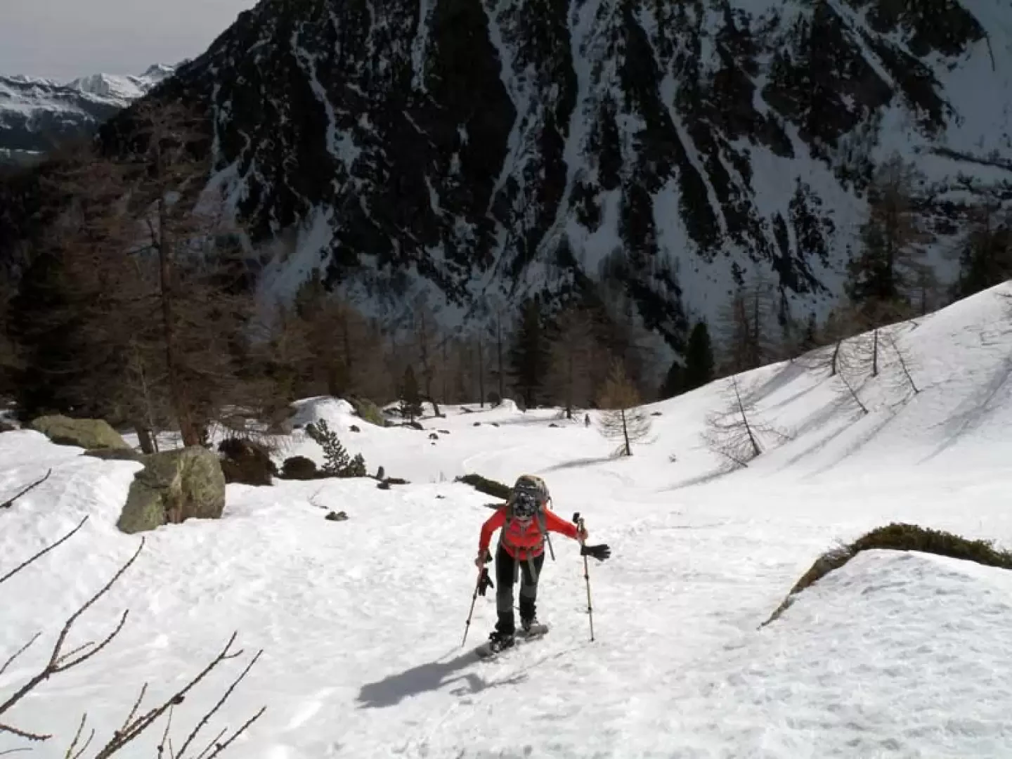
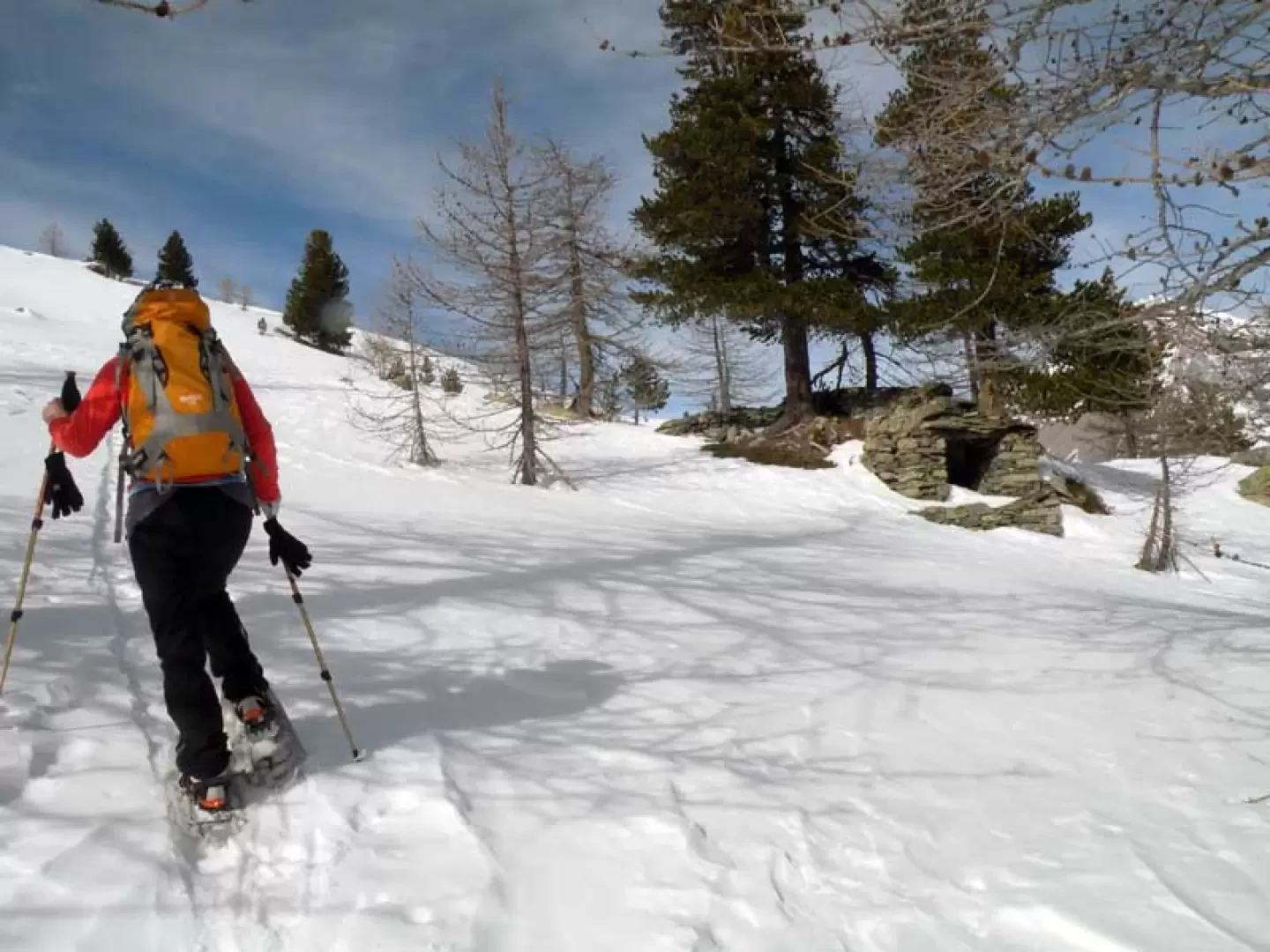
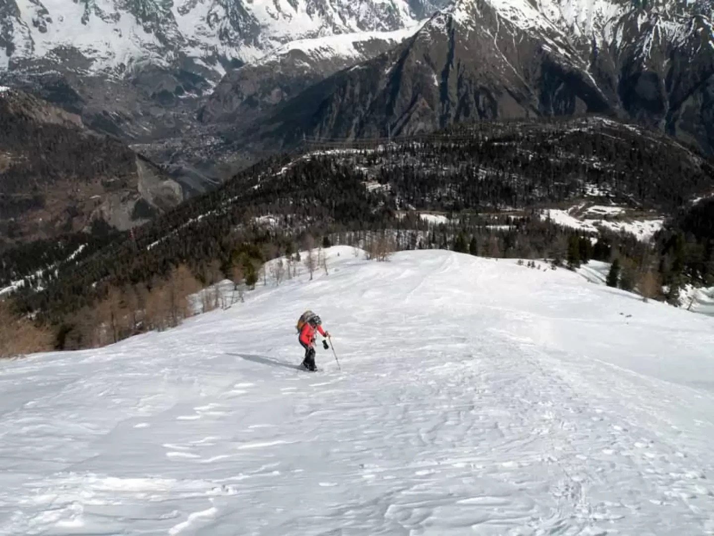
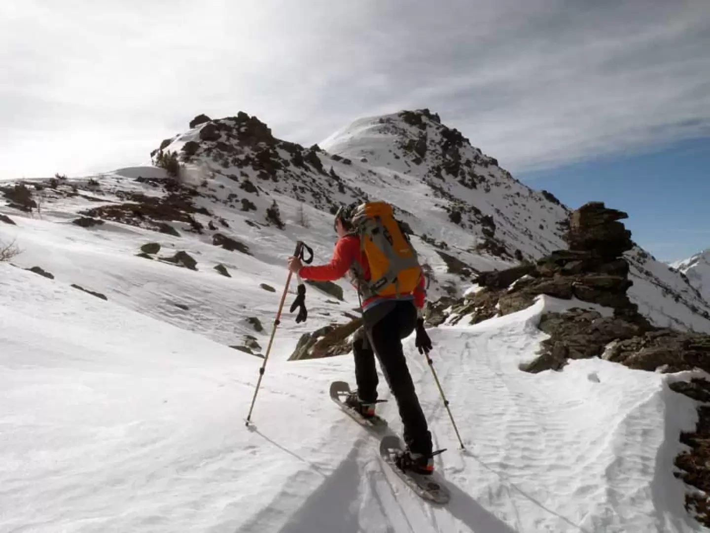
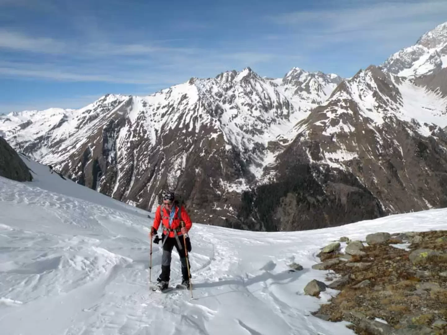
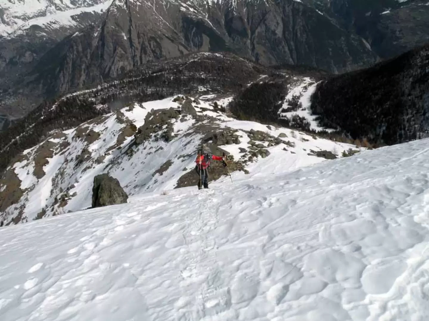
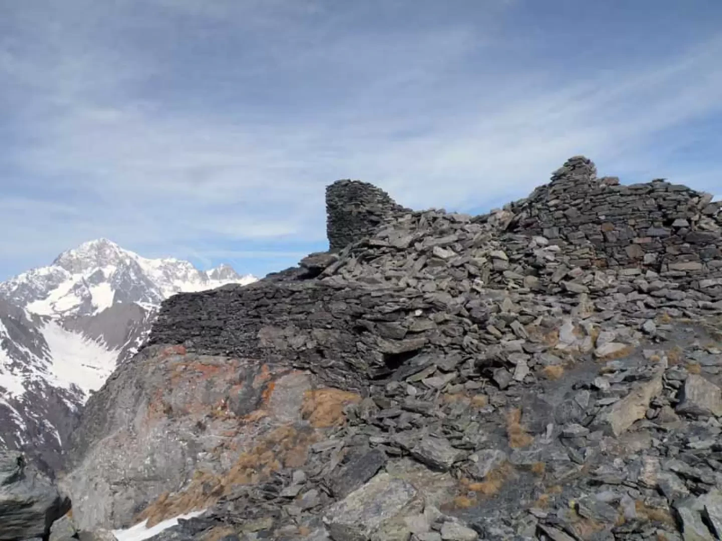
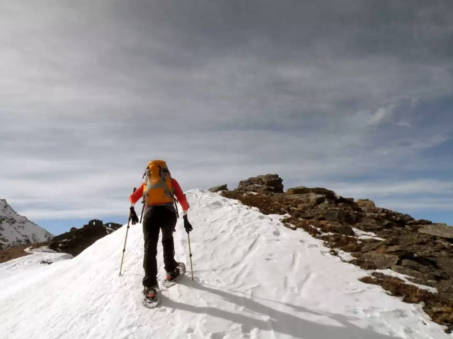
From the forecourt, go into the wood on the track, which is usually present, that comes out above the little wooden house; the route develops with a very slight slope on the track of the summer track and, given the number of hikers, you can start walking comfortably even without snowshoes. Shortly after arriving at a fork signposted by wooden posts and signs (2007 m), leave the more frequented track to the left, which heads towards Lake Arpy, and begin to climb to the right, trying to guess the route of a mule track. When you reach the point where the vegetation becomes more sparse (about 2140 m), you turn sharply to the right, taking an evident and steep chute that you climb up again with difficulty, arriving near a small stone shelter (2247 m); from here, head for the ridge above, which you begin to climb again by turning to the left. In this section, where the panorama widens out over the valley of La Thuile and the Mont Blanc and Grandes Jorasses massifs, the slope becomes steeper again, and we continue slightly on the right-hand side of the ridge to reach a col located near some exposed rocks (2338 m). From this point, already seeing the summit canopy of our destination, it is advisable to remain on the right of the ridge (the ridge may have cornices) and with a long traverse that is not very exposed, a rocky point is skirted on the right. Pass this and turn sharply to the left, reaching another col (2420m), from where the final steep slope begins. This is best tackled directly, in order to avoid exposed traverses, and you will soon reach the summit, surmounted by a low stone cairn. If you wish, you can then descend briefly to a small crag and ascend just as briefly to the other peak, a few metres higher (2476m), where there are the ruins of military fortifications from the last world war.
.Galleria fotografica