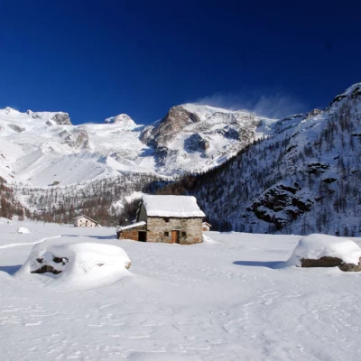
Plan de Véraz, from the Frachey car park
Description
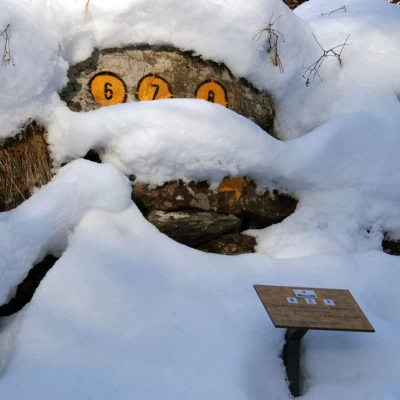
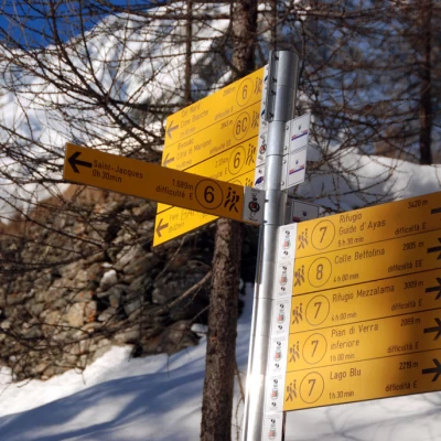
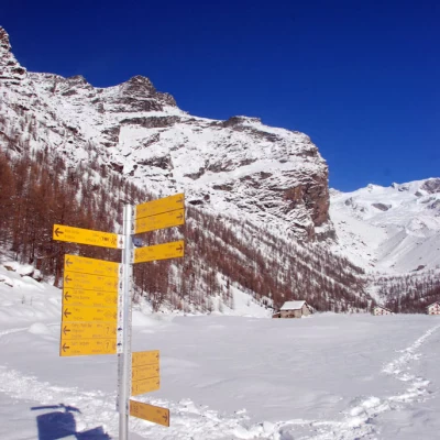
Leave the car in the car park and walk along the little road that cuts through the village, near the church, and follows the Evançon stream as far as Blanchard: here, cross a small bridge on the left and you will come to the signpost indicating the start of the itinerary.
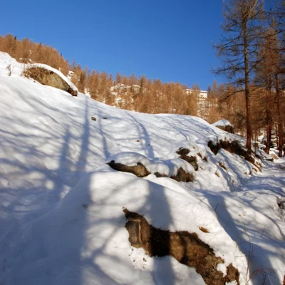
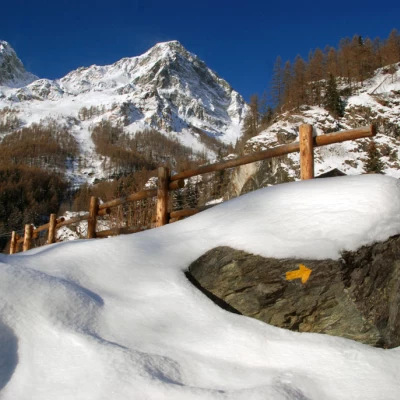
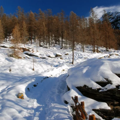
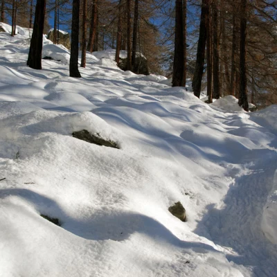
With snowshoes on, climb up an initial section of the path, which is quite steep and takes you to a clearing in a few minutes: turn right here and cross a second small wooden bridge. We climb up the larch-covered slope following the traces of the path, which is also evident under the snow cover, and in about twenty minutes we reach the crossroads for the small village of Fiéry (1879m, 0h25'), if we turn left, we reach it in a few minutes' walk: it is worth a look.
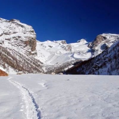
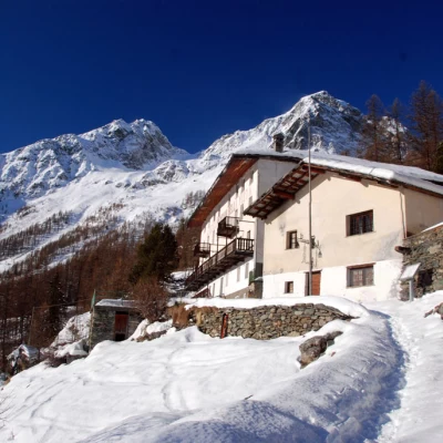
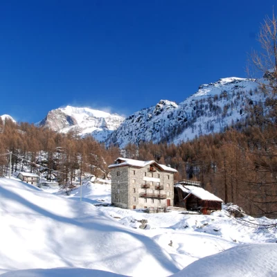
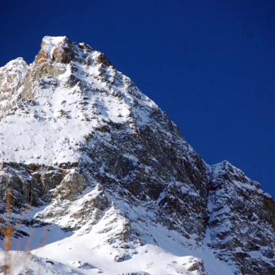
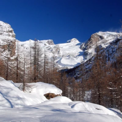
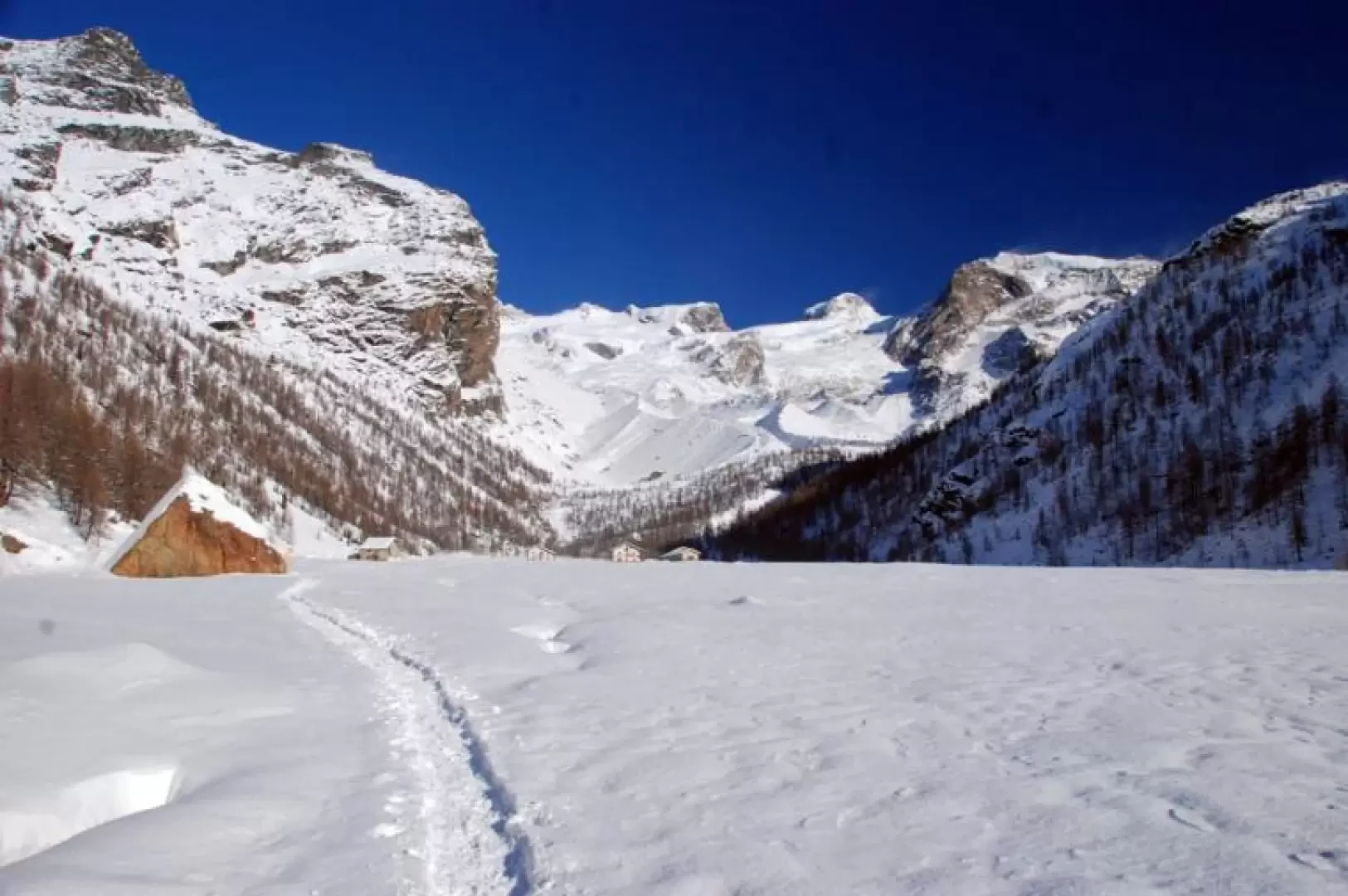
Our itinerary continues at the fork to the right, climbing up a short stretch of path that leads almost immediately to a clearing where the Casa Alpina is located; follow the path past some farmhouses and, after leaving an alpine pasture on the right, start climbing again through the larch forest. After a series of hairpin bends in the forest, the path tends to the right and flattens out slightly: you are now close to the plateau. After leaving the last solitary larch trees, a wonderful spectacle opens up before us: Pollux and Castor rise majestically on our horizon. We continue on the level, approaching the Torrente di Verra, which flows placidly across the plateau, and in a few minutes we reach the Pian di Verra huts (2070m, 1h15'): turning around, we can appreciate the suggestive plateau and the peaks that accompanied us on the ascent.
The descent is along the same route as the ascent.
If you don't want to retrace the ascent route, you can descend along the tracks that follow the farm road that leads to the plains and, for the more hardened, a diversion to the Rifugio Ferraro is not to be missed.
