Pizzo Pioltone, from San Bernardo
Access
Take the Genoa-Gravellona motorway and exit at its end at Gravellona Toce, continuing on the dual carriageway in the direction of Domodossola. When you reach the valley's main town, exit at the junction and continue following the signs for Bognanco; pass through the spa resort and follow the signs for San Bernardo. After a few kilometres you reach the village at a small church where, on the right, there is a parking area.
.Introduction
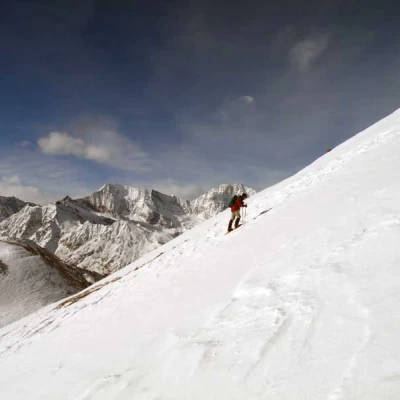
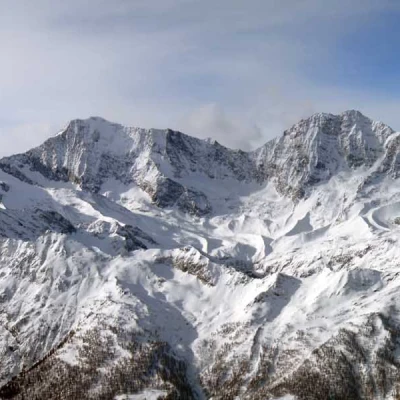
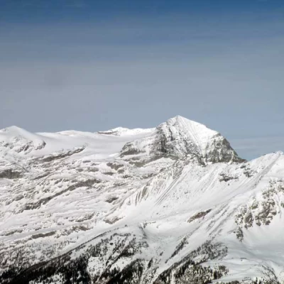
Pizzo Pioltone is located on the Swiss border and separates the Bognanco valley from the Laggintal, in the Simplon area, and the panorama offers a beautiful view of the 4000-metre peaks of the Saas valley, with the nearest Weissmeis and Lagginhorn, the high peaks of the Simplon which are adjacent and to the north-east of the other 4000-metre peaks of the Oberland. This loop tour is, from the moment the beaten track is abandoned, demanding and strenuous with the ascent of the western slope of Pizzo Pioltone, which must be considered at the time by assessing the condition of the snow and the rocks to be traversed, which are mobile and often icy. Attention must also be paid to the inclination of the upper slopes, whose snowpack is often reworked by the action of the wind, and in any case must be tackled with well-balanced snow. The rest of the route follows an almost always well-trodden track and leads us to explore the upper Bognanco valley, passing beautiful alpine pastures and the two local mountain huts: Il Dosso and Gattascosa.
Description
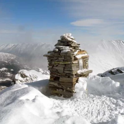
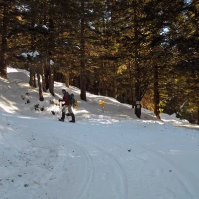
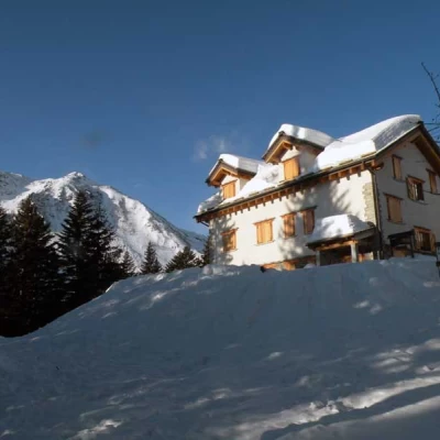
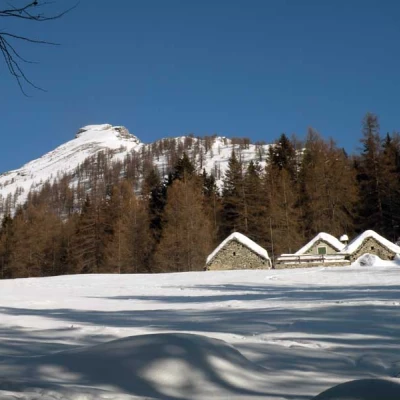
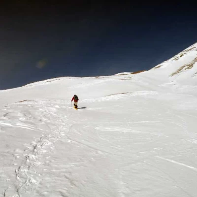
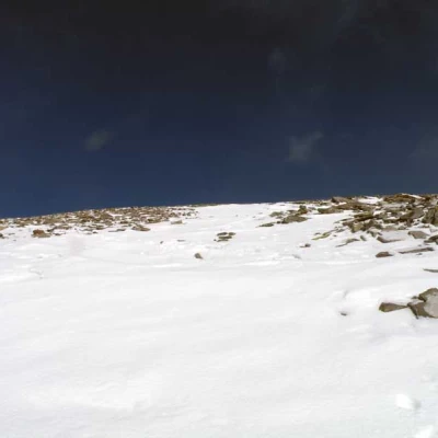
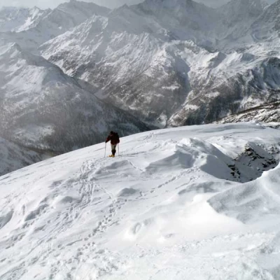
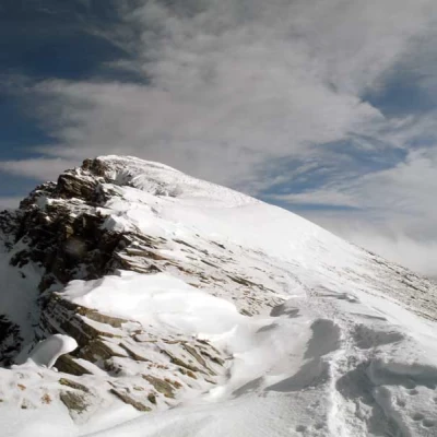
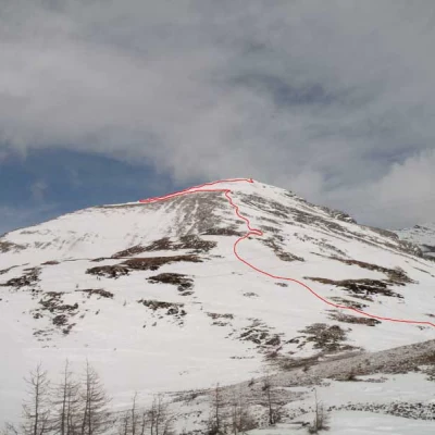
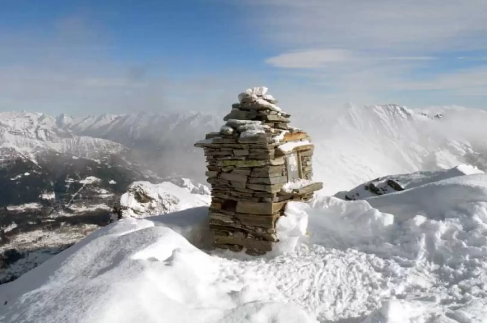
From the car park, go past the little church and you will soon come to a fork signposted by the posts at which you must continue to the right, following the obvious path of the dirt track. At the beginning, the path descends into the evergreen wood with little inclination, losing a few metres in height until it meets a lock near a stream; cross the small bridge and, after a short stretch still on the level, begin the ascent where, at the first hairpin bend, there is a crossroads (1629m) at which you continue left. With a few easy hairpin bends, you soon come in sight of the Arza alpine huts, where the Il Dosso refuge (1749m) is also located. Above the huts, there is another fork signposted by a small pole (1802m), after which the forest thins out and you come out into open spaces from where the peak, the destination of this excursion, is already clearly visible; the route passes by Alpe Monscera (2022m) and immediately afterwards passes a small pole signpost at which you continue straight on. At this point, continue a little further along the beaten track and begin to climb towards a wide col located between an anticima topped by a cross and the long ridge that descends from the summit. After a few traverses, looking for the steepest points, the ascent becomes steeper and you approach the edge of the wide ridge, which you should not reach immediately, but climb, zigzagging up the steep, southern flank of the mountain. As you ascend, you move more and more northwards, alternating between crossing a few strips of broken rock and climbing up steep tongues of snow until you reach the beginning of a wide, exposed slope, which should be crossed as soon as the last rocky strip is finished: if you approach the summit, the slope of the traverse would be a little too exposed. When crossing it, aim for the ridge that descends on the opposite side but without climbing too much and, once you have reached it, the progression becomes easier by walking on more modest slopes; a few more zigzags and a few short traverses and you reach the summit, which is soon reached and where there is a little stone cairn with the little box containing the summit notebook.
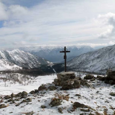
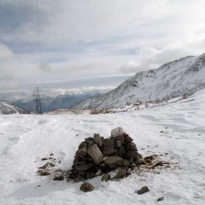
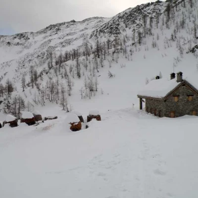
On the return journey, follow the same route as on the outward journey but, instead of descending below the col between the summits, continue along the ridge to the one with the cross (2217m); staying on the south side, descend obliquely and reach the wide Monscera col crossed by a high voltage line. Descend keeping to the right and cross, with a long traverse, the gentle slopes that descend from the side of the mountain, arriving at the beginning of the sparse forest and soon reaching the Gattascosa hut (1997m), which is already clearly visible from the pass. Continue to descend through snow-covered valleys, rapidly losing height, passing near a marker post from which, with an almost flat route, you reach a hut used as a bar and a few metres below you return to the junction located at the start.
Trail signposts: D8, D0 where visible
Type of route:circular
Recommended period: December, January, February, March
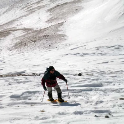
Equipment:Snowshoes, ARTVA, probe and shovel
Objective Hazardssome exposed traverses, moving stones on the ascent slope
Exposure to sunlight: south
Exposed sections: steep slopes in the last 400m
