Pizzo Meriggio, from Campelli

Edited by:
Ermanno Panara
Updated at: 17/12/2025
Introduction
The Pizzo Meriggio represents a classic ski mountaineering excursion, well known among Valtellina skiers. Those who want to tackle this route with snowshoes will however have great satisfaction and will have to face a fairly high physical commitment, given the difference in altitude of more than a thousand metres and the considerable gradients.
Description
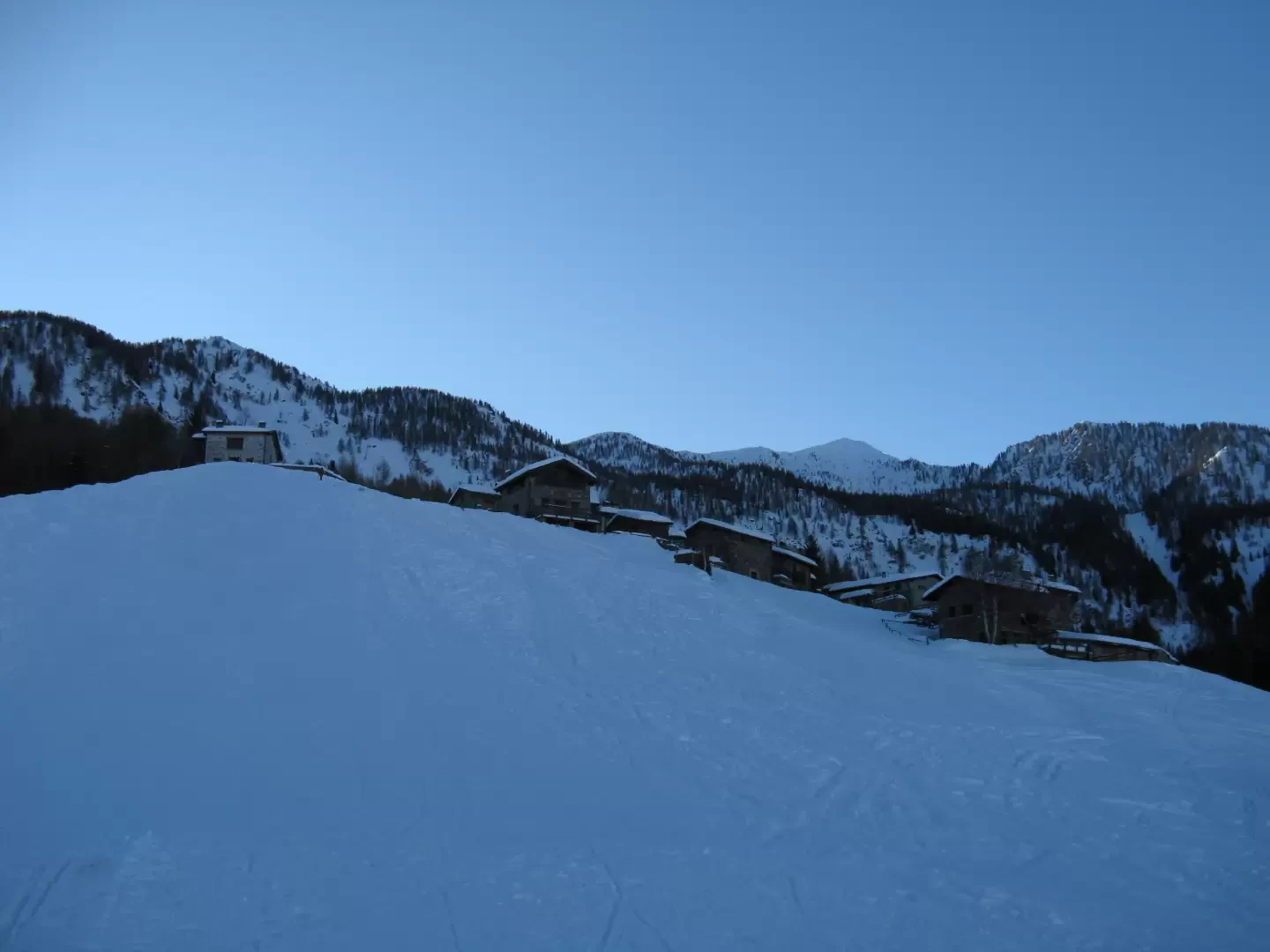
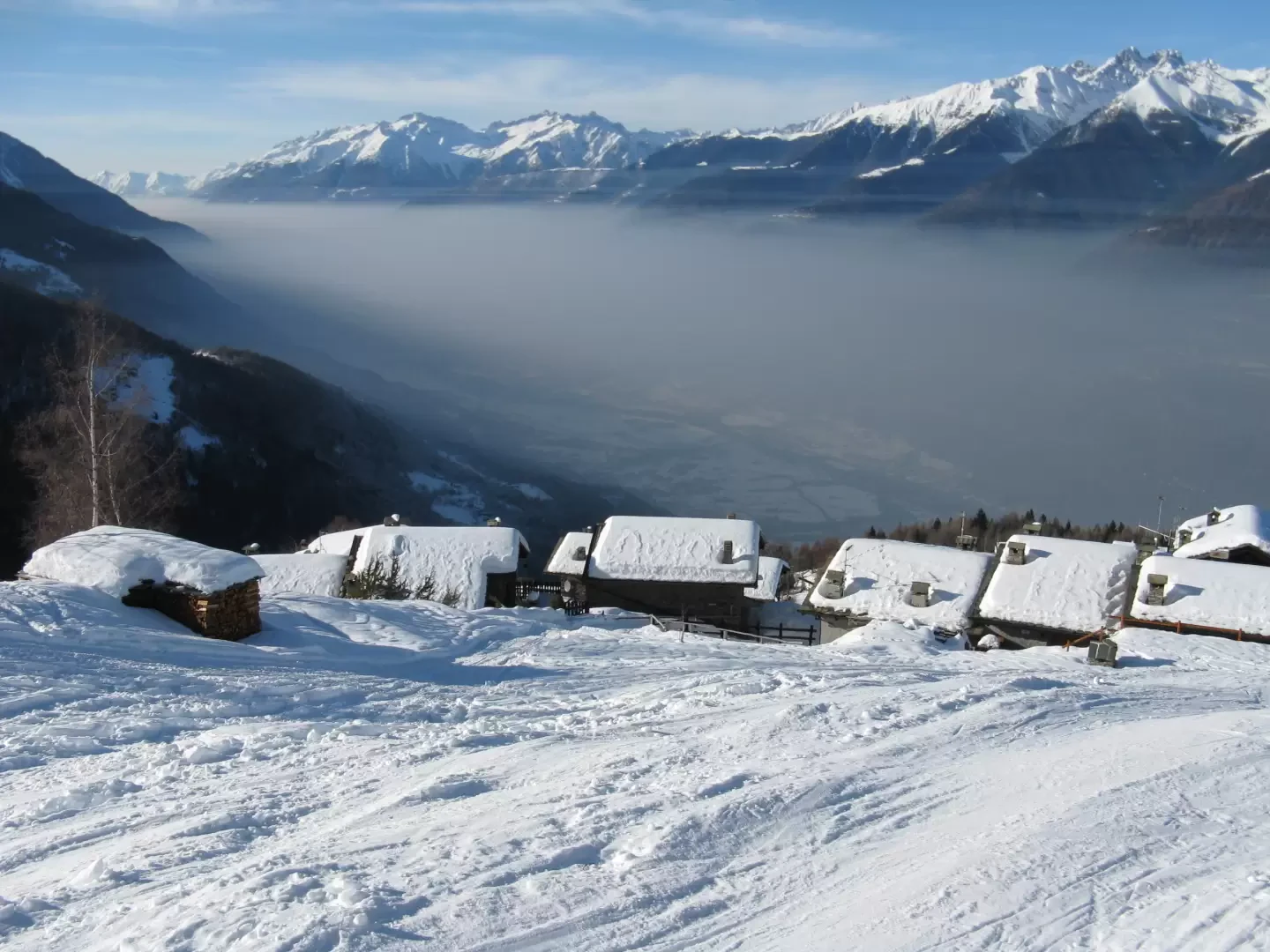
The starting point is the Campelli locality at an altitude of 1295m.
From the car park, cross the road and climb a small road that immediately leads to the village, which is made up of numerous well-maintained huts in an open, sunny area. From here it is a good idea to get up immediately for the maximum slope, heading towards what remains of a disused ski lift and following the ski mountaineers' track in a southerly, south-easterly direction.
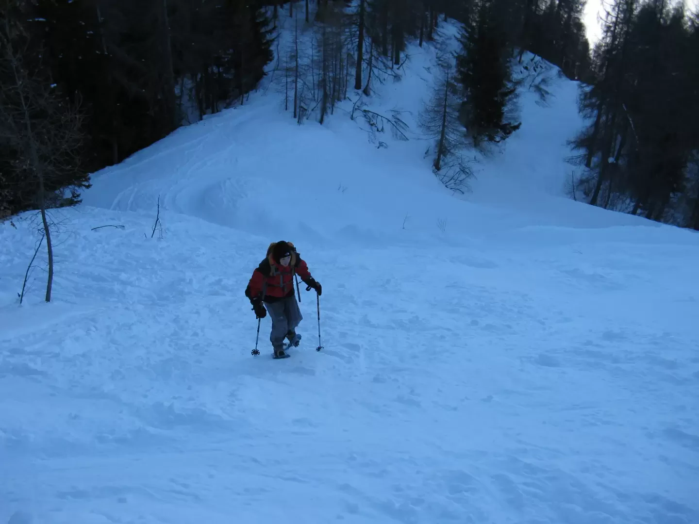
About two hundred metres of steep ascent leads to the cross-country road, which you follow briefly to the left, leaving it almost immediately to follow the uphill tracks in the woods.
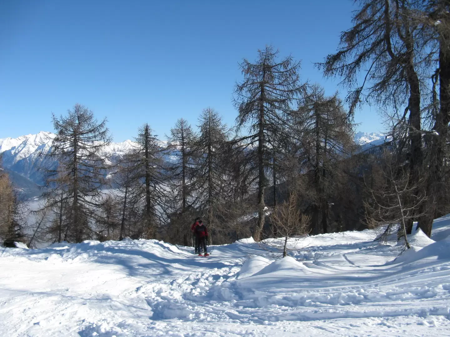
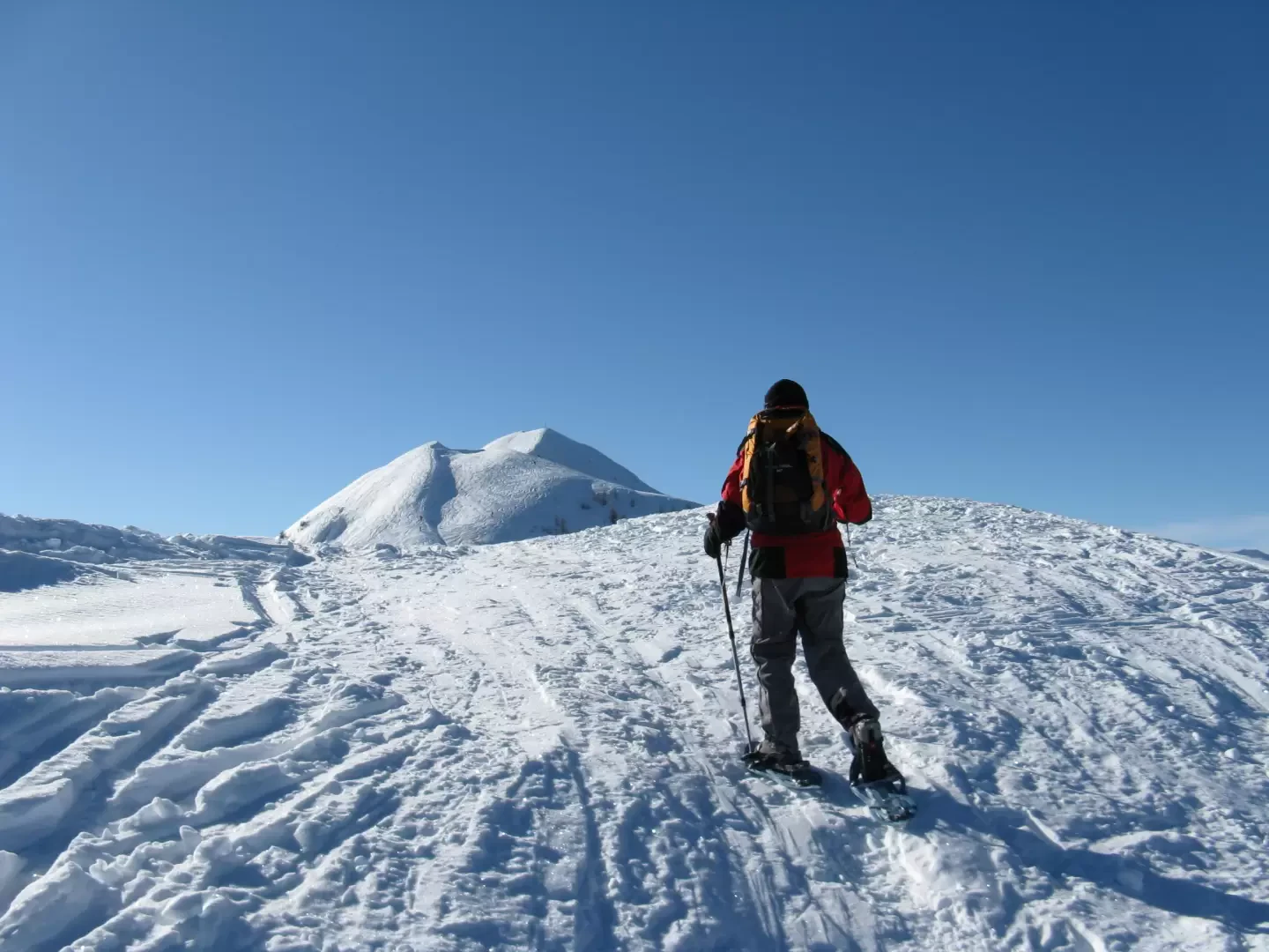
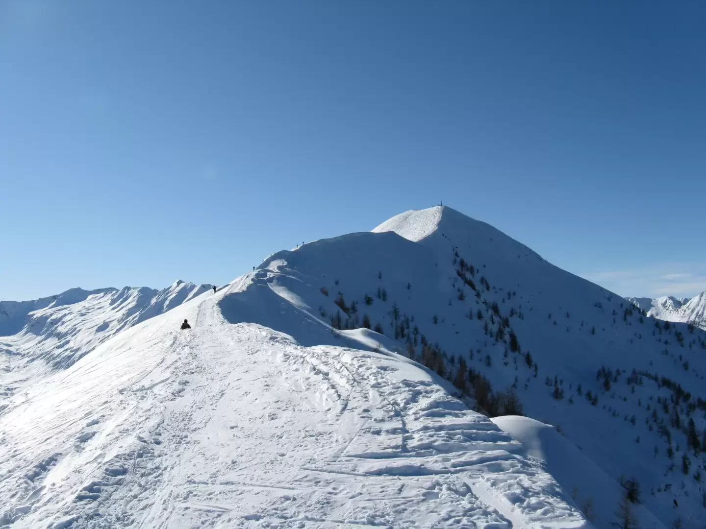
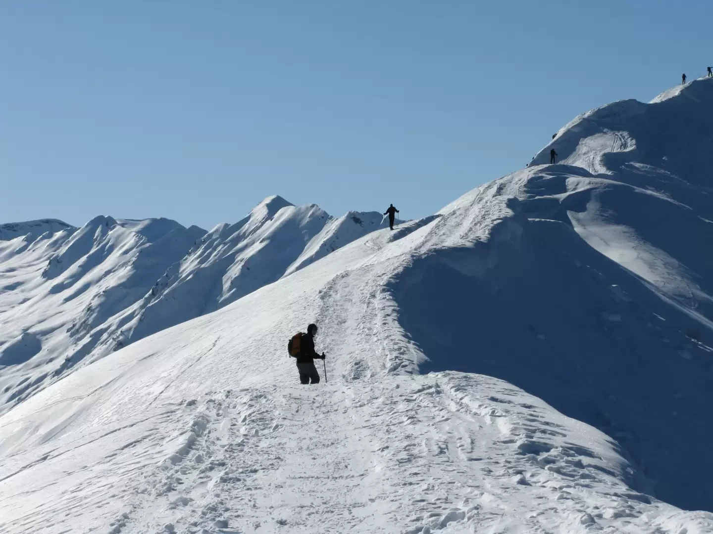
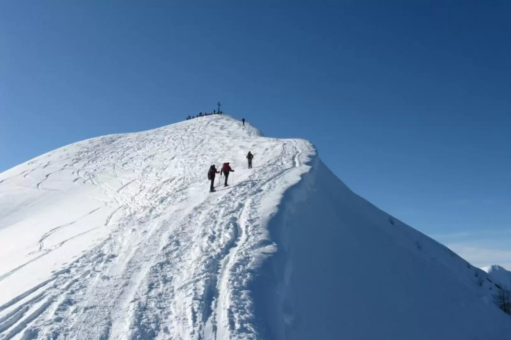
Further on, still in the larch forest, at an altitude of 1760m on a rather marked ascent, you come to a repeater from which you take a slightly less steep path to the right, still in the larch forest. We then reach a wide saddle from which we can see the summit cross of our destination. Turn left and continue along some hairpin bends of the farm road, which you leave shortly afterwards to face, on your right, at an altitude of 1980m, a steep ascent that will take you, among the last sparse larch trees, to Punta della Piada (2122m).
From here you can admire the vast panorama and the well-marked path along the ridge that leads to the large metal cross of Pizzo Meriggio (2358m).
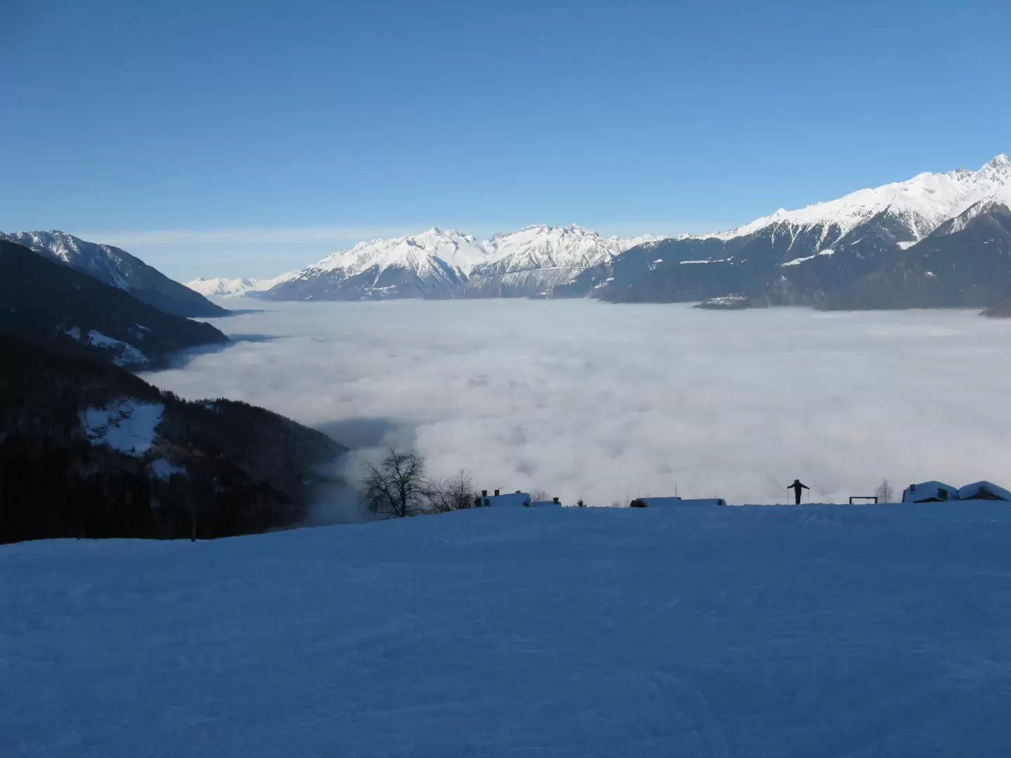
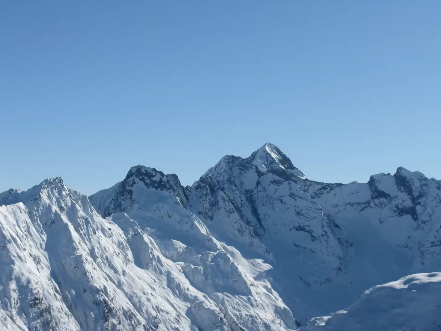
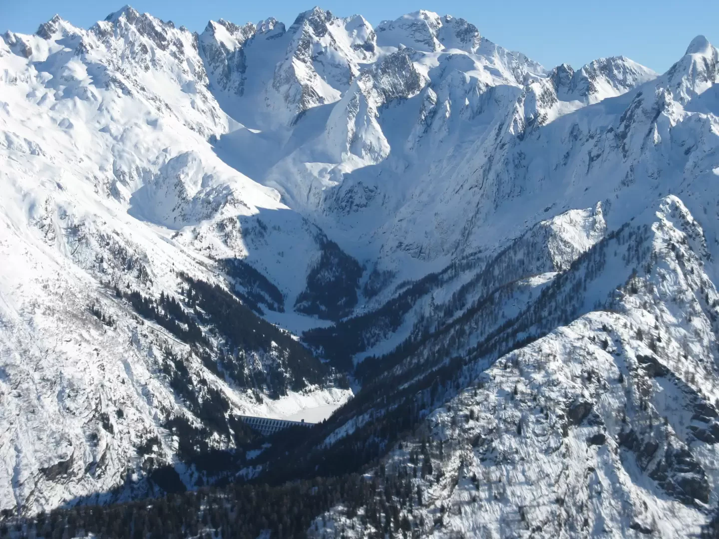
From the summit, if the day is clear, you can admire the most important peaks of the Orobie mountains to the south. The Pizzo del Diavolo di Tenda, Pizzo Redorta, Pizzo Brunone and Punta Scais stand out above them all. Downstream, the Scais artificial reservoir and, further to the right, the Venina valley with its lake of the same name.
Towards the north, all the peaks of the Masino-Disgrazia group and the head of the Valmalenco up to Pizzo Scalino are visible. Further to the right, finally, the Ortles-Cevedale group.
For the descent, one more or less follows the ascent path, using the little road that often crosses it to avoid the steeper sections.
Galleria fotografica