Pian Tsatsé
Introduction
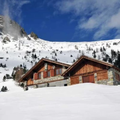
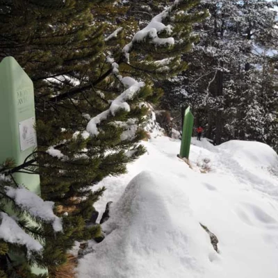
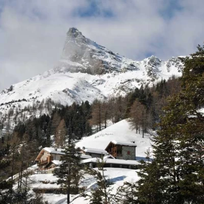
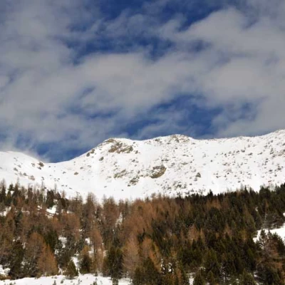
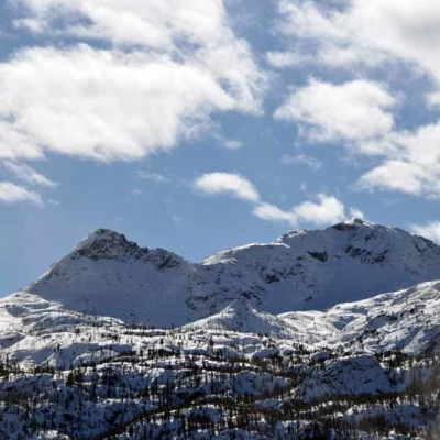
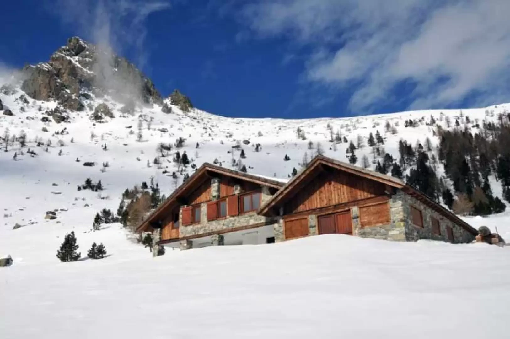
The excursion takes place entirely within the Mont Avic Natural Park territory, passing through beautiful forests of Scotch and Scots pines along with other species that are always well recognisable with the punctual information provided by the numerous signs in the Park, which explain the fauna, flora and environment surrounding us very well. The destination, or rather the destinations, are two very beautiful and well-restored panoramic alpine pastures from which there is a stupendous view over the valleys and peaks of the park, over the Dames de Challand with the nearby Mont Nery, and also offering a glimpse of the distant plain.
Description
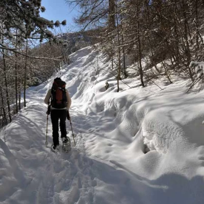
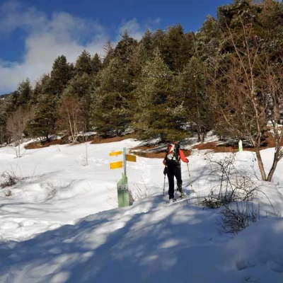
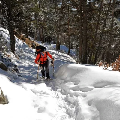
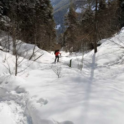
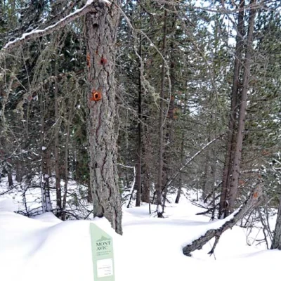
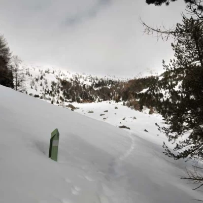
From the park visitor centre, climb up the tarmac road and after a bend you come to a square where, opposite, there is a small road with a no-trespassing sign. We climb gently up the small road that enters the valley, passing above the small church, and after a stretch bordered by a fence we enter the sparse forest of hazel, beech and conifer trees. After about ten minutes, you go around a small wooded spur and come to a crossroads signposted by a post (1364 m), at which point you ascend to the right into the wood, which from this point becomes a little thicker; The slope now increases noticeably, remaining almost constant until the crossing of the Ru Chevrère (1515 m) ), also marked on maps as Ru de Monjovet, which is an irrigation canal built in the late Middle Ages and which, after a distance of about 7 kilometres, carries water from the Chalamy stream to the municipalities of Champdepraz and Montjovet. Now we ascend a little more gently around a wooded rib and then ascend more decisively, following the sinuosity of the mountain; we pass by a dry stone wall and cross the forest, arriving in sight of the alpine pasture of Praz Orsie with a beautiful view of the Mont Avic. Ascending, we soon come to a crossroads signposted by a post (1789 m), at which we turn left for a well-deserved visit to Praz Orsie (1792 m), from which there is a beautiful view over the valley. Returning to the post after a few metres, continue straight on, climbing up a few slightly steep slopes, still in the beautiful wood and passing by a tree where, appropriately signposted by an information board, some red woodpecker nests are clearly visible. In a short time you come out into the open and begin a traverse to cut across the slope that descends from the rocky ridge that starts from Mount Ruvi, and once you are below the vertical of the alpine pasture, climb up without any obligatory path, reaching it in a short time.
