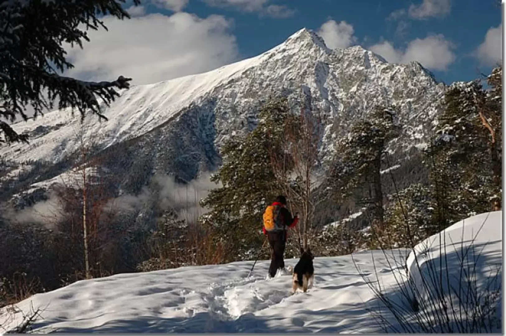
Palud, from Sommarèse

Introduction
Short but interesting trans-communal hike through the beautiful forests descending from the Tête de Comagne. The practically zero altitude difference as well as the objective dangers make this itinerary very attractive, especially after a good snowfall!
Short itinerary and without any dangers: this is one of the few itineraries recommended after heavy snowfall, the snow on the trees and the panoramic views make it certainly unique at this time.
Description
Leaving your car in the convenient car park inside the village, you climb up a short path until you reach some beautiful renovated houses: here you also meet the little farm road that you will follow to your destination. Turn left and follow the wide snow-covered track that passes above Sommarèse. The first part of the trail is slightly uphill and soon reaches the turnoff for the Tête de Comagne (Trail (5), 1594m, 0h05'). Obviously, this diversions is disregarded and the trail continues along the semi-flat track that skirts the lower boundary of the Bois de Comagne, a large wooded area that descends along the southern ridges of the Tête. You soon reach a small knoll surmounted by a cross, and from here you begin to cross the forest, which was initially dominated by larch; the path now becomes more atmospheric, the forest and the light playing with interesting chiaroscuro. After about 25 minutes of walking you come to a junction with a small road closed to the public: you continue straight on, enjoying for the first time the imposing summit pyramid of the Mont Zerbion... from an unusual angle. The destination is approaching, and we now continue on level ground through the dense spruce forest, skirting a few stretches with snow-covered rocks, until we join a disused ski slope: here we turn slightly to the left and begin the short descent towards Palud, observing before us the peculiar snowy panettone of the Gobba di Rollin. At the end of the descent, we turn right and arrive near the Col de Joux Snow Park, which is located at the place known as Palud (1613 m, 0h45').
The return trip is along the same route as the outward journey (0h45').
Useful equipment: snowshoes, poles and mandatory avalanche rescue equipment: avalanche search device, shovel and probe