Mount Palanzone
Access
Da Erba si sale in Valassina fino a superare Canzo ed Asso; poco dopo quest'ultimo paese, si svolta a sinistra in direzione Sormano. Poco oltre le ultime case ci si dirige a destra seguendo le indicazioni per "Piani del Tivano". Si segue lungamente la strada prima nel bosco e poi in un mezzacosta panoramico sulla Brianza: al momento di scollinare in corrispondenza del valico presso la Colma del Piano (presenza di rifugio/locanda), si cerca posto negli ampi parcheggi.
Introduction
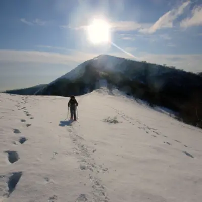
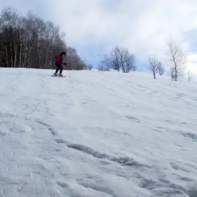
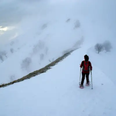
A well-known Lombardy excursion, especially in its non-snowy guise. Beautiful with plenty of fresh snow (the slopes, which are very steep, drain immediately) and clear skies: the views extend as far as Monviso. The full route along the edge of the ridge obliges us to go up and down continuously, with even intense climbs. The return route runs parallel to the ridge, following a hillside between sparse beech trees on a track that is always beaten.
Description
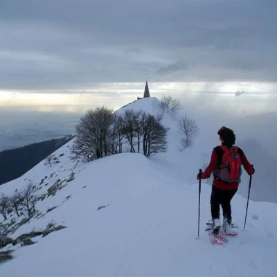
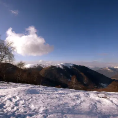
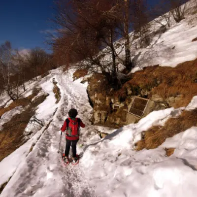
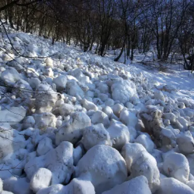
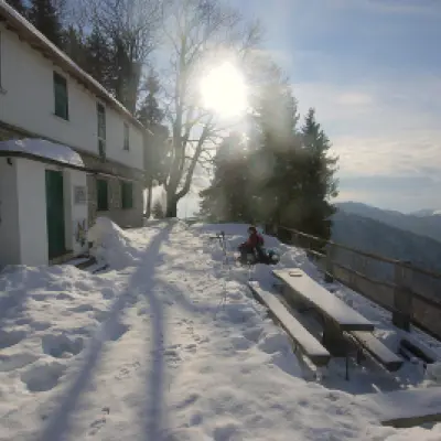
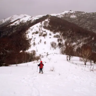
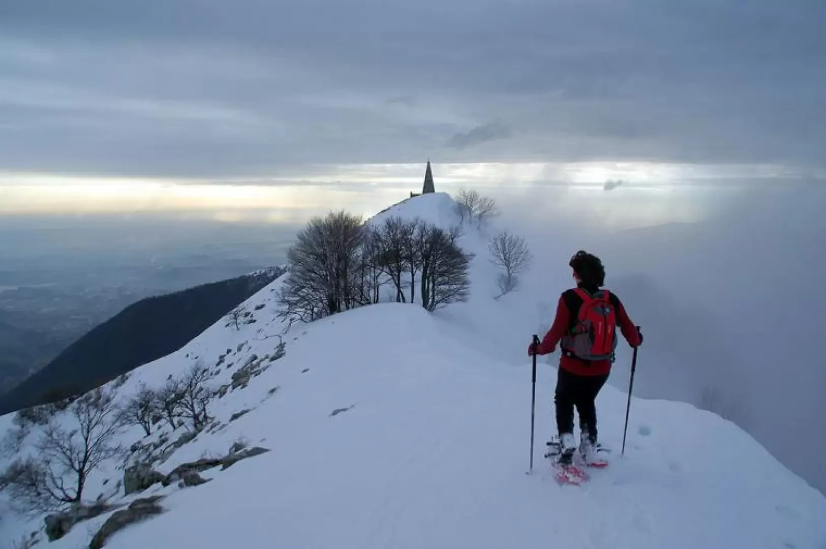
From the Colma del Piano 1124m, follow the signpost "Dorsale del Triangolo Lariano" (Larian Triangle ridge) and, alongside a fence, climb to the summit of Monte Falò 1182m; the trail continues directly downhill to the Colma del Comune 1129m (junction with the cross-country ski trail). Amidst sparse beech and birch trees, start climbing again, following the visible route of the summer trail, and you reach the ridge of Monte Pianchetta 1243m; still on the watershed between the Rezzago valley and the Piani del Tivàno, continue on, meeting Braga di Cavallo 1350m and Monte Croce 1351m. Then descend to the crossroads of Bocchetta di Caglio 1297m: ignore the diversions to the left for Caglio and Asso and take the long ascent to Monte Bul 1406m, whose summit - in reality a crest level - is dominated by a small cross and a curious military monument. Now within sight of its obelisk, we continue on to the summit of Monte Palanzone 1436m. The panorama is vast: from the Grigne and Resegone to the Lombardy plain, the Ticino mountains with Monte Generoso in the foreground, and the Monte San Primo group on the Larian side. For the descent, past the parvis of the monumental chapel, continue downhill southwards for a few dozen metres, until a very steep slope opens up on the right, leading directly to Rifugio Riella 1275m. This slope, accentuated in the second half up to 35°, requires the use of very technical snowshoes or even - much better - crampons. From the hut's panoramic little square, continue along the path uphill (to the right) to Bocchetta di Nesso 1293m. The route - normally very easy - turns into a continuous avalanche crossing in heavy snowfall. Shortly before the Bocchetta di Nesso, we approach the caged, hot-air-blowing opening of the Grotta Guglielmo; this is a cavity that is very difficult and dangerous from a speleological point of view and connects this side with the opposite side, on the flank of Monte Bul. From the Bocchetta, follow the track that - halfway up the slope - follows the ridge path of the outward journey; continue among sparse bushy beech trees and converge on the main route at Bocchetta di Caglio and Bocchetta del Comune. From here - following the route of the cross-country ski trail indicated by red arrows screwed into the trees - you enter a dense forest of fir and birch trees that, first slightly uphill and then semi-flat, leads back to the car parks of the Colma del Piano.
.