Monte Paglietta, from Prailles

Edited by:
Giancarlo Beretta
Updated at: 10/03/2025
Access
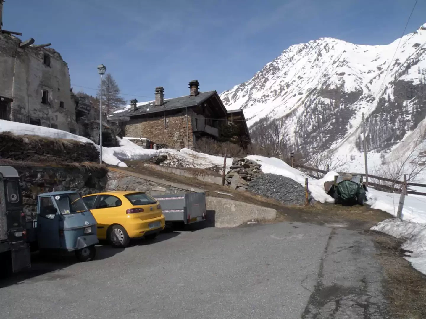
You take the motorway, exiting at the Aosta Est barrier and follow the signs for the Gran San Bernardo tunnel. After exiting Aosta, drive a few kilometres until you pass the municipality of Etroubles and, near a bend, you will find signs directing you to the hamlets of Prailles and Bezettes. When you reach the latter you can park your car in the small widening in front of the few houses.
Introduction
This excursion is completely exposed to the sun, so it is necessary to assess well, in the event of recent snowfall, the settling of the snowpack along the almost always fairly steep slopes. The effort will certainly be repaid by the magnificent panorama from the summit, from which you can see all the main peaks of the lower part of the Valle d'Aosta and, to the north, even Mont Blanc and the Grandes Jorasses. Depending on the snow conditions and the sustained wind to which this peak is subject, it may be possible to walk the last few metres of altitude difference even without snowshoes. If there are no tracks, one must be careful about orientation, especially in the forested section.
Description
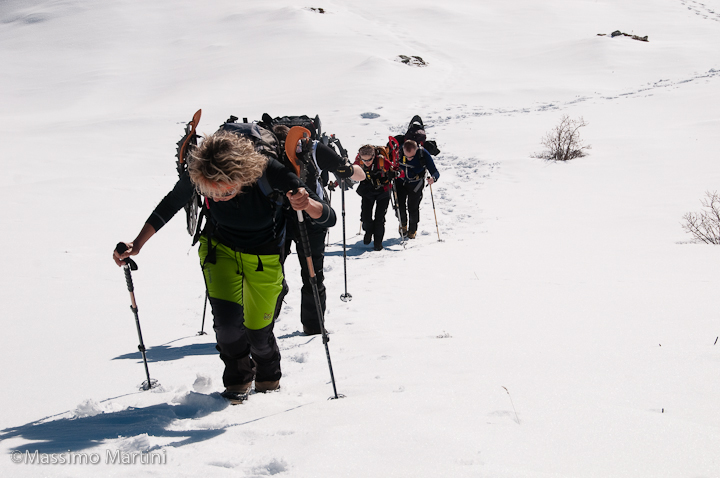
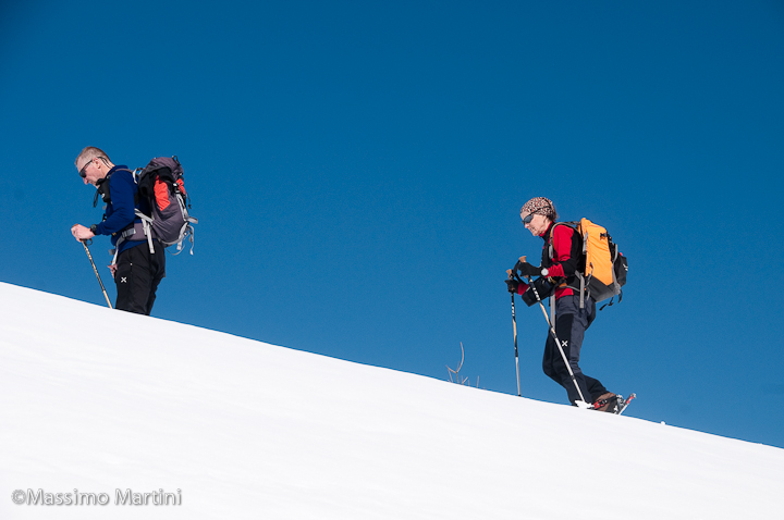
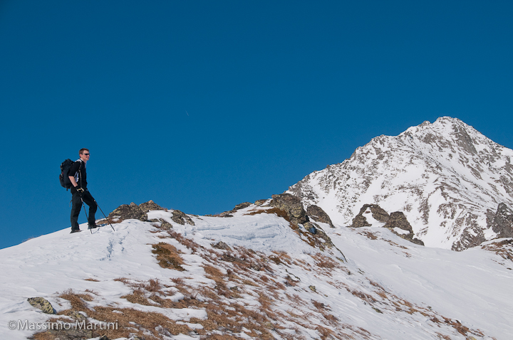
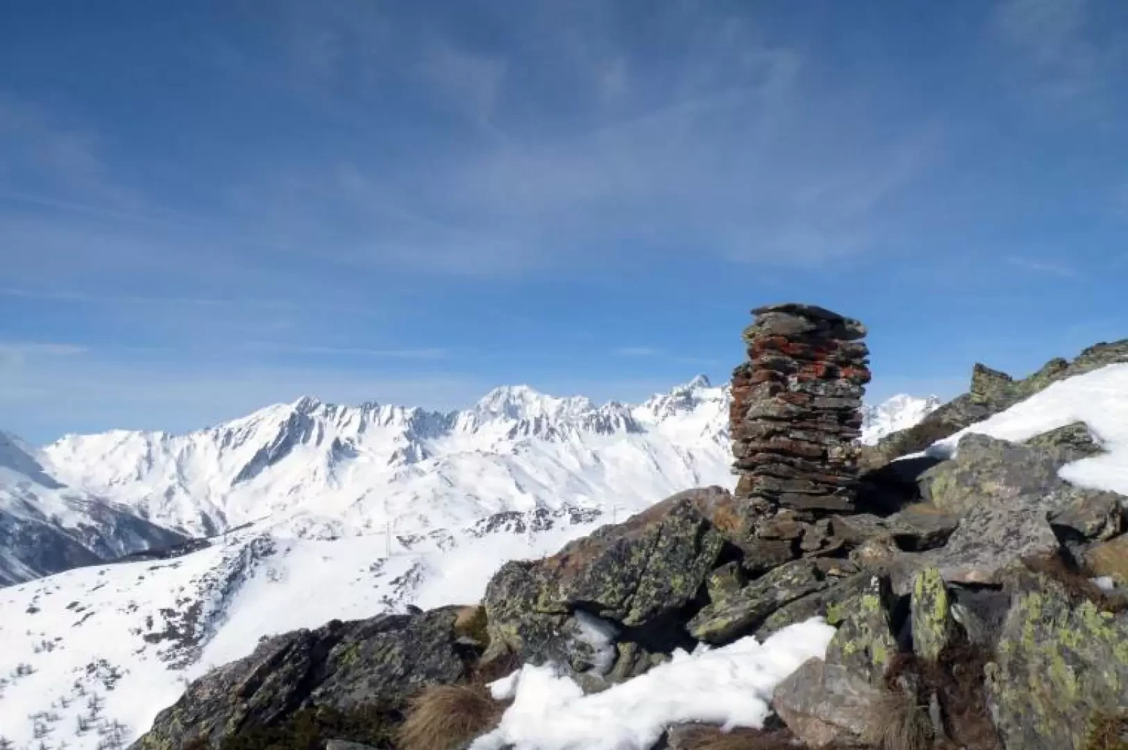
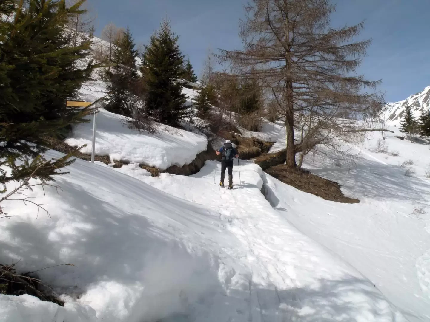
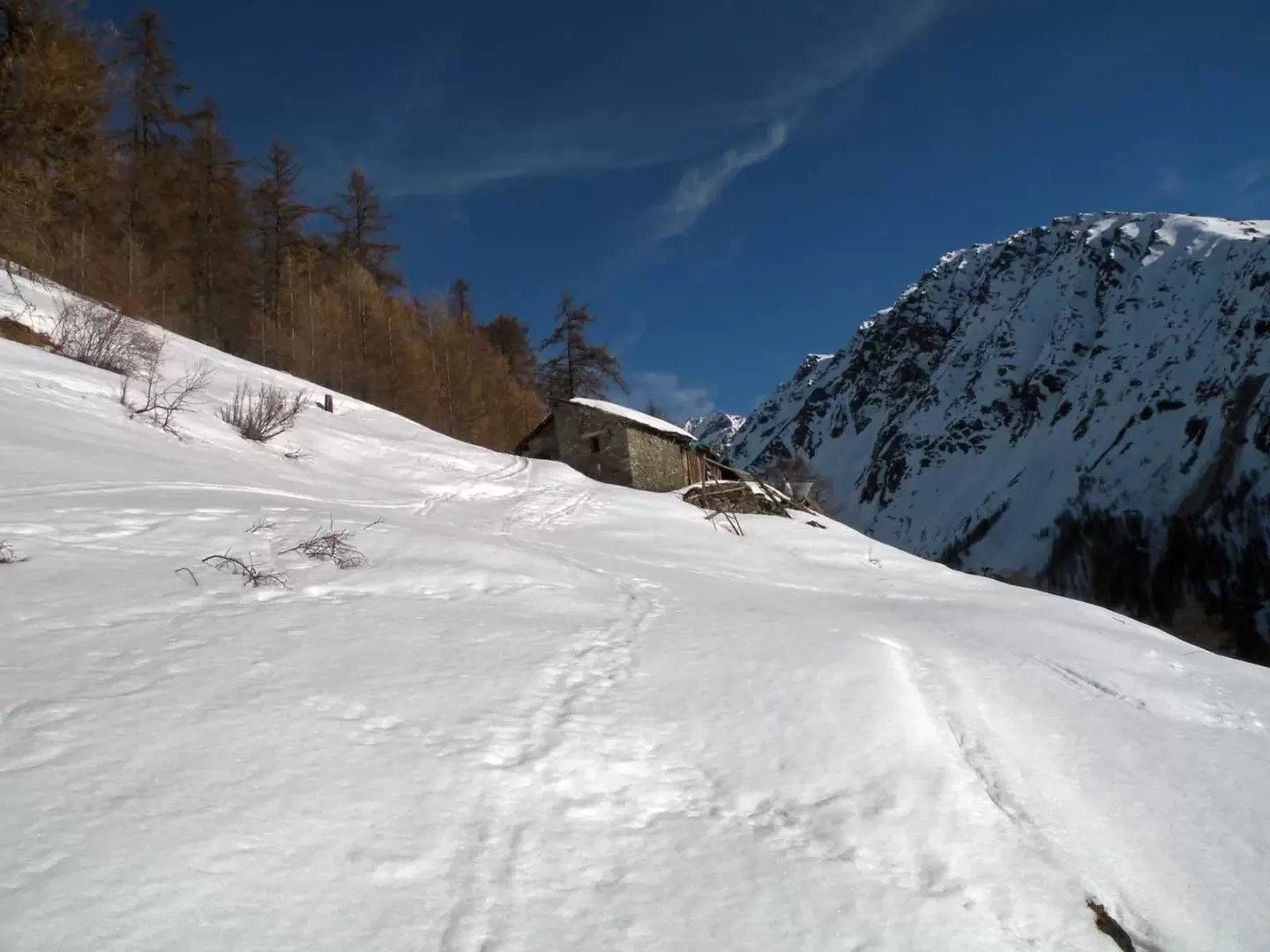
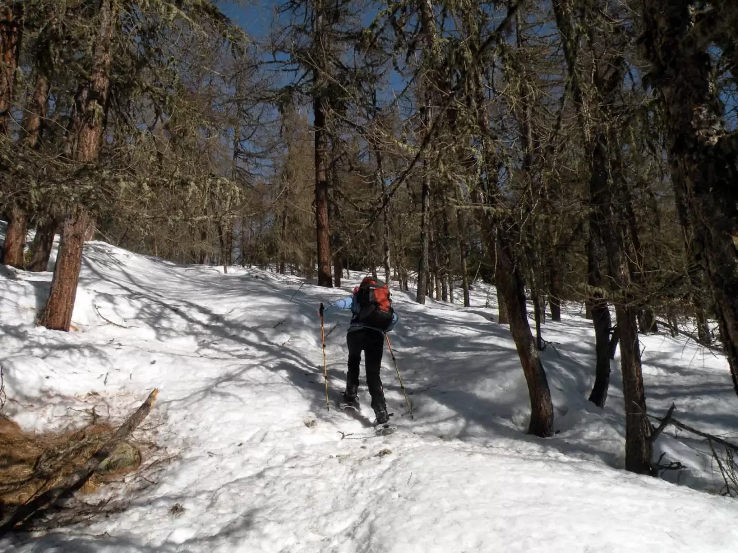
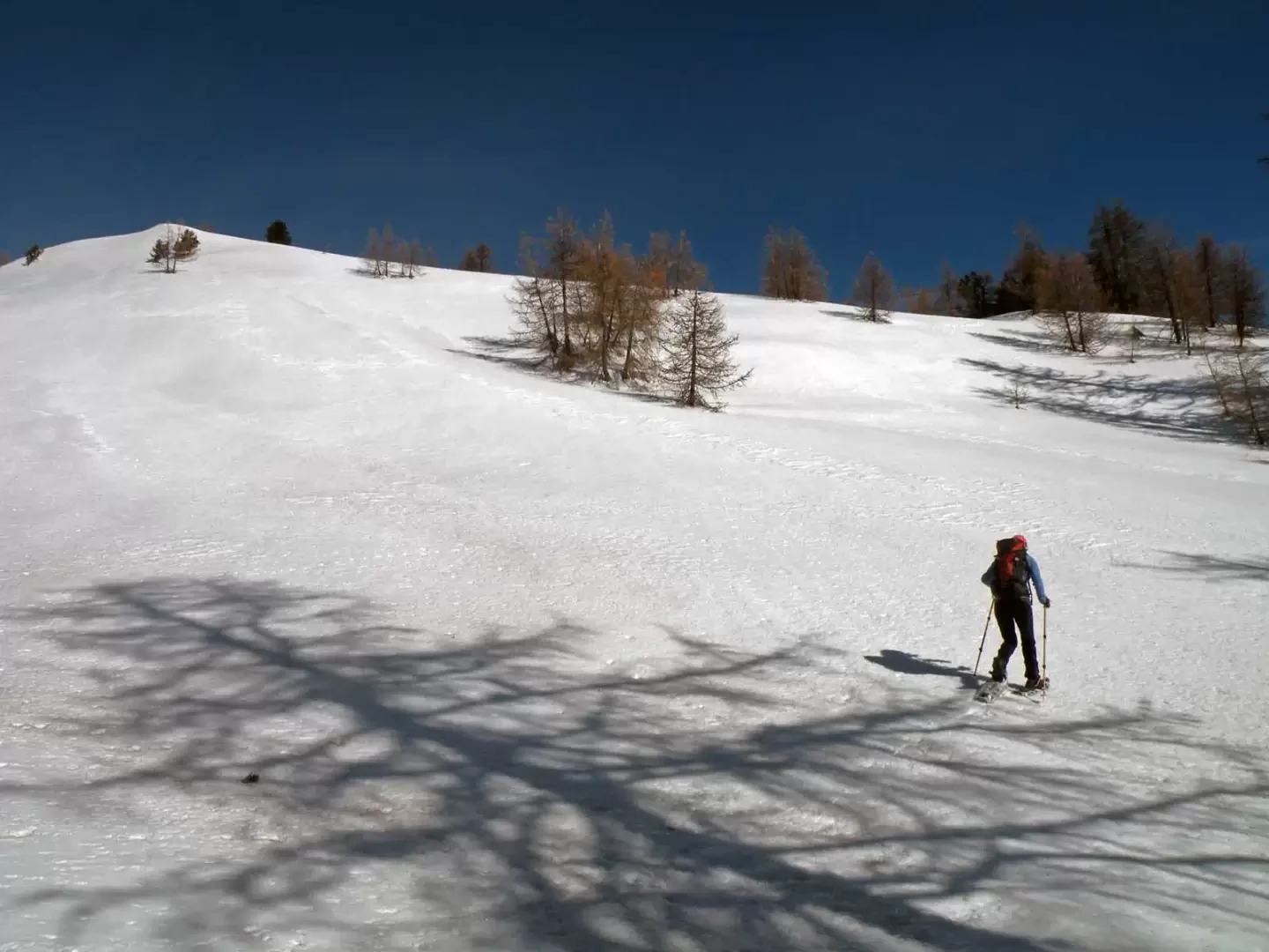
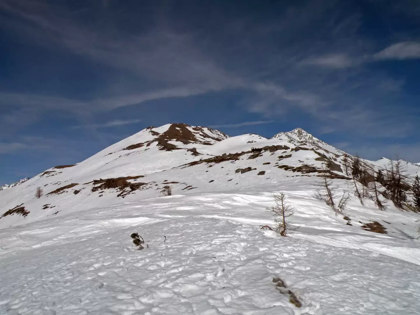
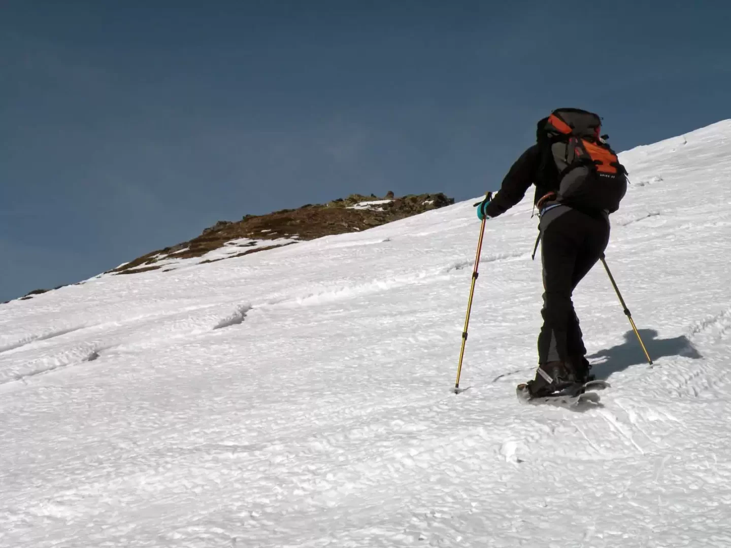
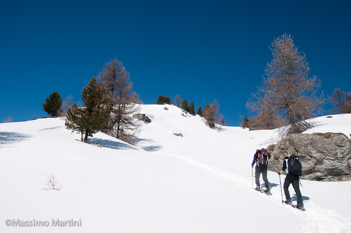
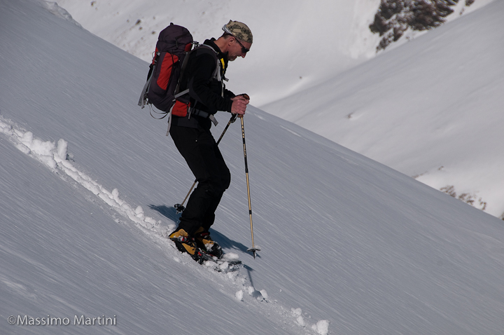
From the car park, go up to the left next to the last house and just above it first pass a marker signposted for Col Champillon and then left another marker signposted for Saint-Rhémy. Continuing on the slopes to the north, which become quite steep, one must aim, without any obligatory path, at an obvious hut (1730m) and then at the Tchiou alpine pasture (1830m); here, one crosses on the level and reaches the other hut located about a hundred metres to the left. From this point, one must ascend decisively to the north, again without an obligatory path, into the Bois du Grand Plan, trying to keep to the left of a slightly marked ridge that one follows until reaching a flat area. Now, having reached an altitude of about 2150m, we need to traverse a little to the right to climb the steep slopes that, now following the ridge, lead us towards Monteret (2304m), which is none other than the summit of Monte Paglietta. We leave the forest and now, with the view widening, we can spot the wide ridge that, with a few ups and downs, leads to the summit. In this section, you must pass at the points of least slope between the bumps that make up the ridge until you reach, with a final, more direct ascent, the cairn on the summit.
Galleria fotografica

We have been there

Edited by:
Massimo Martini
Monte Paglietta
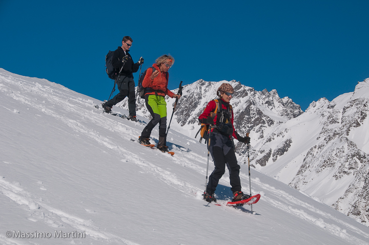
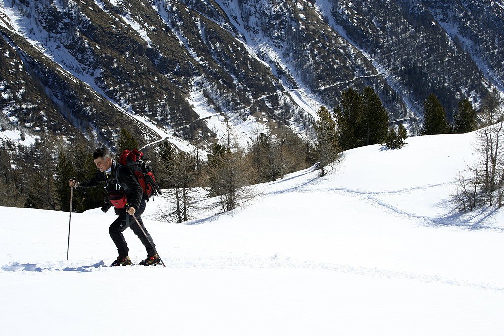
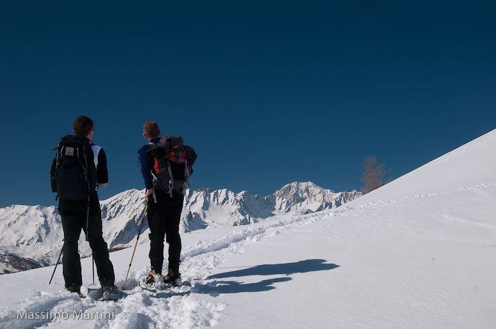
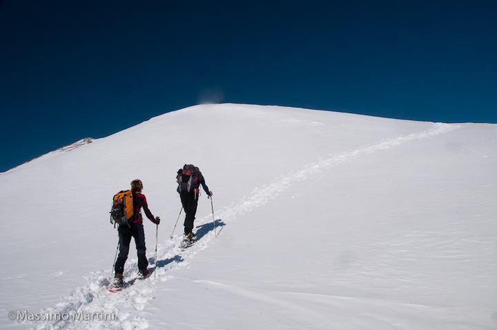
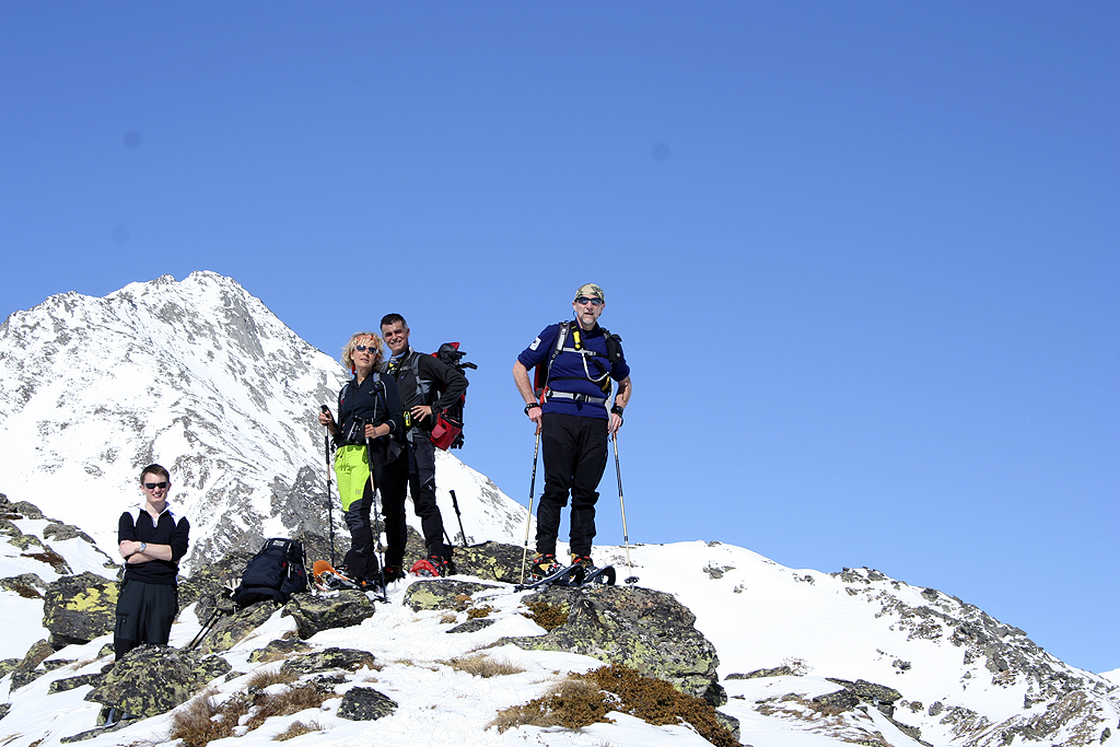
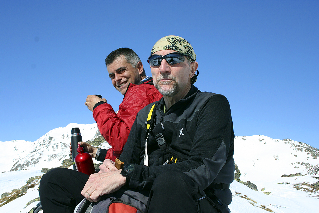
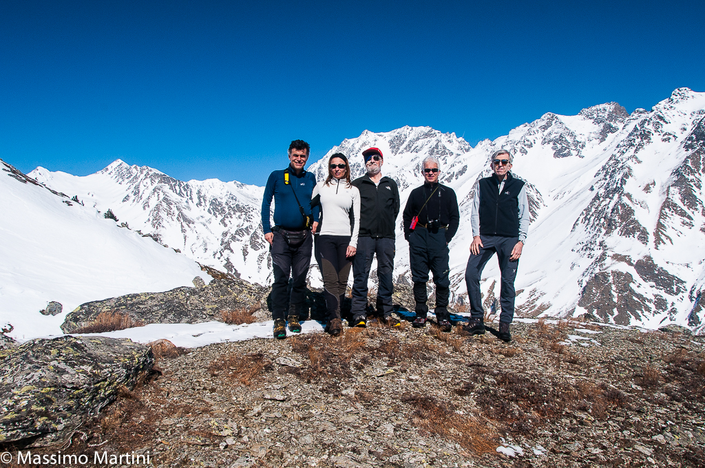
Gran bella gita in una giornata con bollettino a rischio 3! A volte bisogna valutare bene i posti e, se è il caso, saper rinunciare. Con questo proposito siamo partiti sull'itinerario per il Monte Paglietta. Nel primo tratto l'innevamento era scarso e discontinuo: ciaspe in spalla e su per i prati macchiati di neve. Superati gli alpeggi siamo entrati nel bosco e seguendo la linea di un sentiero evidente anche sotto la neve prendiamo quota sino a raggiungere il Gran Plan: da qui si vira a destra e seguendo per un tratto le tracce di un gruppo di ciaspolatori ci portiamo ai margini di un bel valloncello privo di rischi oggettivi. Risaliamo il vallone e raggiungiamo il crinale che discende dal Montaret e da qui la vetta di prominenza che altro non è che l'antecima della meta finale. Il caldo si fa sentire ma in questa zona non ci appaiono essere particolari rischi: la neve è sostanzialmente poca e l'attività eolica non ha fatto altro che spazzare a tratti il pendio finale. Inseriti gli alzatacchi facciamo lavorare un po' i polpacci per raggiungere la vetta del Monte Paglietta. Dopo un bello spuntino concluso degnamente con coffee break, come sempre gentilmente offerto da Maurizio, ci lanciamo a valle discendendo i pendii innevati. La gita è stata davvero bella e simpatica: grazie della bella compagnia! Arrivati all'auto abbiamo effettuato un lavaggio completo delle ciaspole (un po' infangate!) e abbiamo sperato di rivedere il bel gruppo di cervi che ci hanno praticamente attraversato la strada al mattino... purtroppo avevano altri impegni! Avvistamenti faunistici: Cervus elaphus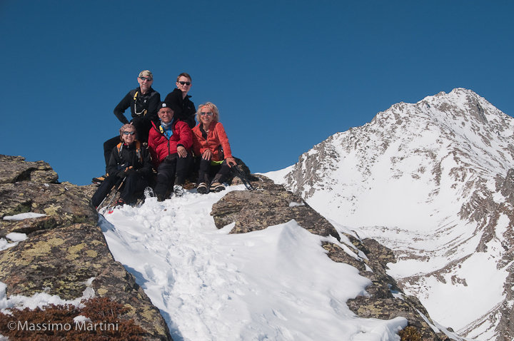


Edited by:
Massimo Martini
Monte Paglietta
Report della gita
Informazioni generali
Condizioni via o sentiero:
Pericolo Oggettivo:
Tratti esposti:
Rischio valanghe:
Affollamento:
Condizioni meteo
Cielo:
Temperatura:
Condizioni neve:
Condizioni ghiacciaio:
Avvistamenti
Fauna:
Flora:
Galleria fotografica
Edited by:
Massimo Martini
Monte Paglietta
Gran bella gita in una giornata con bollettino a rischio 3! A volte bisogna valutare bene i posti e, se è il caso, saper rinunciare. Con questo proposito siamo partiti sull'itinerario per il Monte Paglietta. Nel primo tratto l'innevamento era scarso e discontinuo: ciaspe in spalla e su per i prati macchiati di neve. Superati gli alpeggi siamo entrati nel bosco e seguendo la linea di un sentiero evidente anche sotto la neve prendiamo quota sino a raggiungere il Gran Plan: da qui si vira a destra e seguendo per un tratto le tracce di un gruppo di ciaspolatori ci portiamo ai margini di un bel valloncello privo di rischi oggettivi. Risaliamo il vallone e raggiungiamo il crinale che discende dal Montaret e da qui la vetta di prominenza che altro non è che l'antecima della meta finale. Il caldo si fa sentire ma in questa zona non ci appaiono essere particolari rischi: la neve è sostanzialmente poca e l'attività eolica non ha fatto altro che spazzare a tratti il pendio finale. Inseriti gli alzatacchi facciamo lavorare un po' i polpacci per raggiungere la vetta del Monte Paglietta. Dopo un bello spuntino concluso degnamente con coffee break, come sempre gentilmente offerto da Maurizio, ci lanciamo a valle discendendo i pendii innevati. La gita è stata davvero bella e simpatica: grazie della bella compagnia! Arrivati all'auto abbiamo effettuato un lavaggio completo delle ciaspole (un po' infangate!) e abbiamo sperato di rivedere il bel gruppo di cervi che ci hanno praticamente attraversato la strada al mattino... purtroppo avevano altri impegni! Avvistamenti faunistici: Cervus elaphus