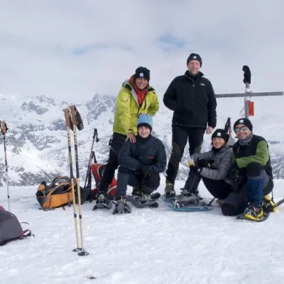
Monte Cazzola
Introduction
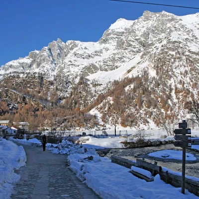
The excursion takes place on the edge of the Veglia and Devero Nature Park in an area, the Devero basin, which, in its winter guise, enhances even more the spectacular nature of the surrounding mountains. The hike is without any particular technical difficulties and can be done even after recent snowfall, given the protection offered by the forest in the first part of the route, while further on the slopes on the ridge are very open and far from steep and under-drained."
Description
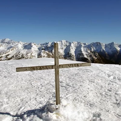
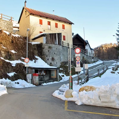
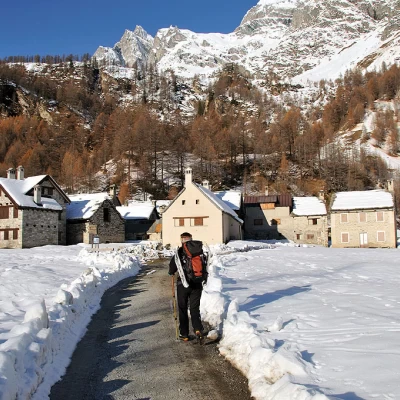
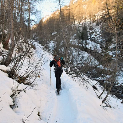
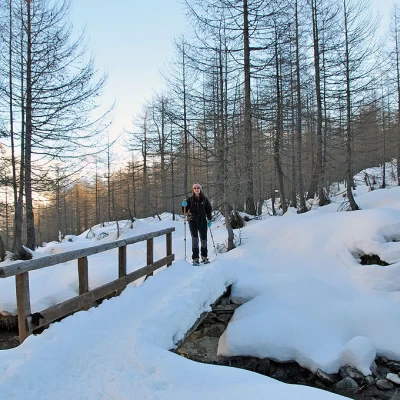
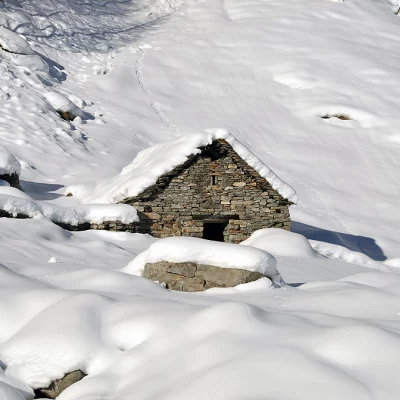
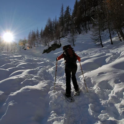
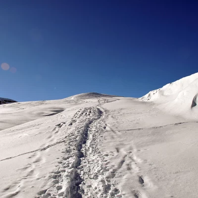
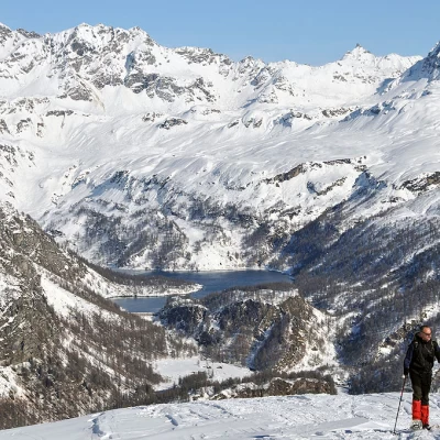
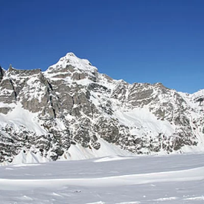
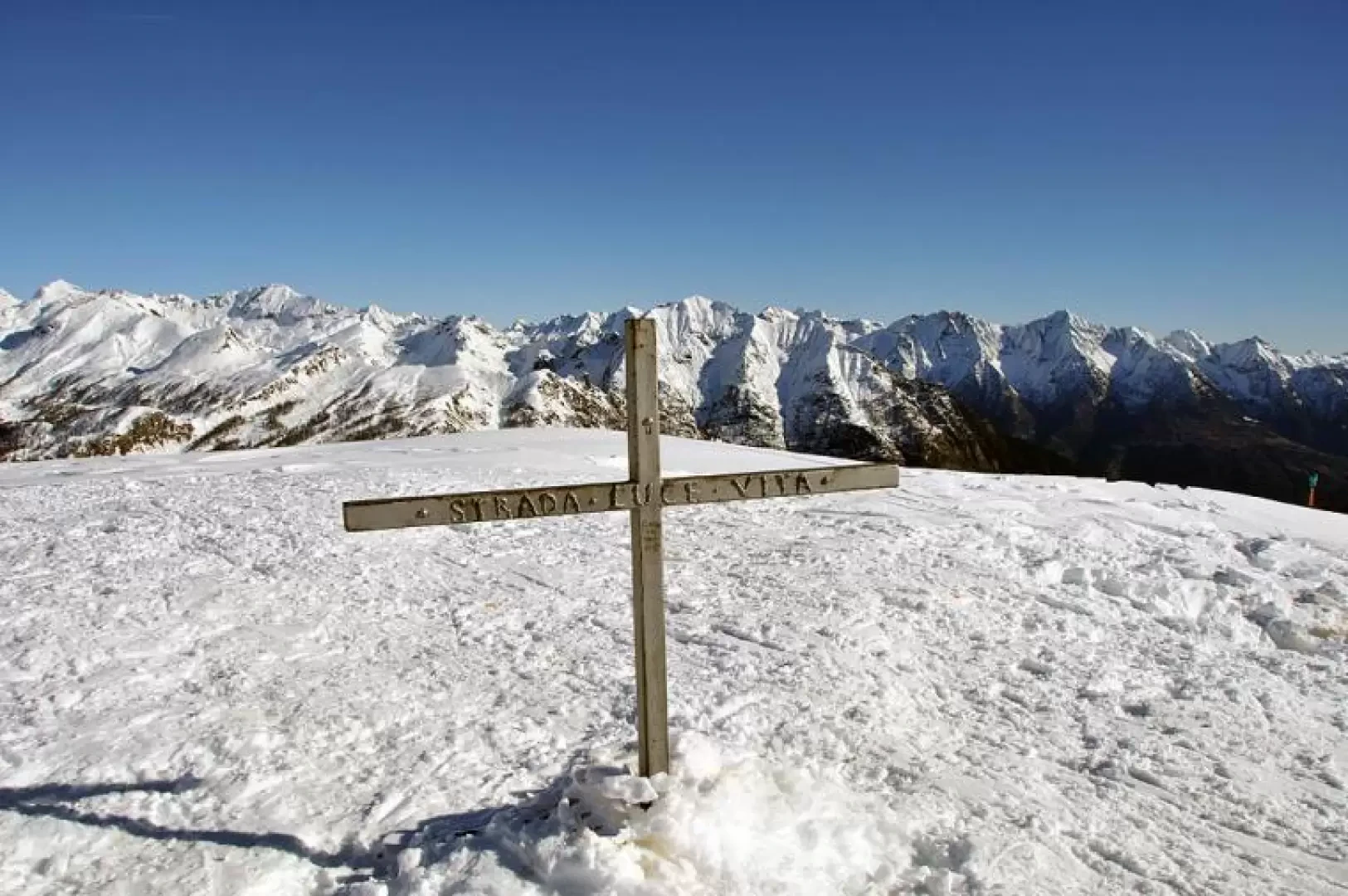
From the car park, head towards the tarmac road that climbs up into the first houses of the Devero plain and immediately at the first fork, at the signposts for Alpe Misanco, turn left towards a bridge that you cross. Walk along the edge of the plateau to reach the small village of Pedimonte. At the beginning of the latter, there are still signs for Alpe Misanco, which direct us left to cross another bridge. We begin to climb at a moderate gradient in the woods, following the course of the Buscagna stream for a short distance. We make a few hairpin bends and, deviating slightly to the left, we move further and further away from the stream, reaching another small bridge. After crossing it, the slope becomes a little steeper, climbing quite directly towards the upper part of the wood, which becomes sparser and heads towards a rampart at the foot of which is the small plateau where Alp Misanco is located. After crossing the few huts, climb up the slopes of the rampart until you come to a small post just above them. Turn slightly to the left and continue up a steeper slope into a small valley at the end of which is a wide, panoramic shoulder. Here, the slope decreases and we proceed up gentle, immaculate slopes until we reach a short distance from the arrival of the ski lifts that ascend to our left from Devero; now we turn slightly to the right towards the west, heading along a broad ridge towards an obvious squat peak, which we reach with a more strenuous climb, and just beyond it we can see the summit cross, which is reached in a few minutes. From the summit the view sweeps over the entire Devero basin from nearby Cervandone, to Rossa, Crampiolo and, further east, Devero Lake; to the south you can see the mountains of the lower Formazza valley, while to the west you can see the wide crest of the Ciamporino pass where the San Domenico ski lifts arrive.
