Mont Truc, from La Frasse
Introduction
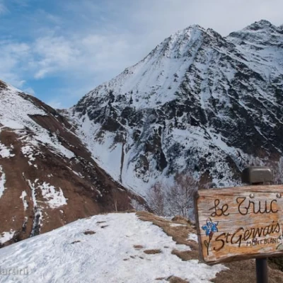
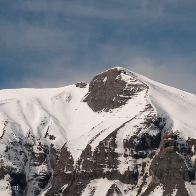
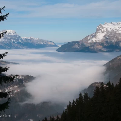
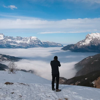
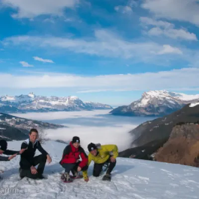
Brief excursion to Mont Truc, a panoramic grassy knoll on the heights of Contamines. The route runs entirely on a forest track up the slope covered by a beautiful spruce forest. The arrival at the summit offers a beautiful panorama of both the Arve valley and the Aiguille de Bionassay behind it.
.Description
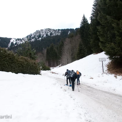
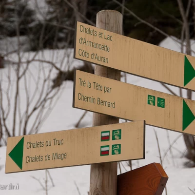
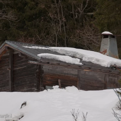
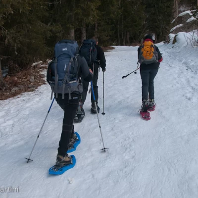
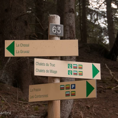
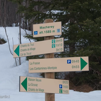
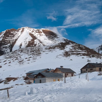
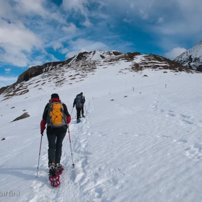
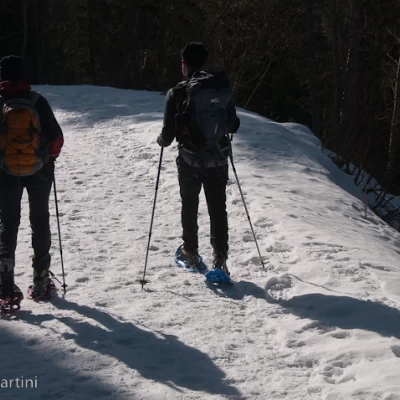
From the La Frasse car park, walk towards the snow-covered track that leads to the destination of the hike, put on your snowshoes, and embark on the first part of the ascent, leaving the last chalets behind. After a few minutes, you will come across a signpost indicating the diversions to Tré la Tête (along the Chemin Bernard): disregard the path on the right and continue straight on up the steep slope. On reaching a hairpin bend, leave the main track (which turns right) and continue straight on following the signs for Chalets du Truc. Continue on the forest track going steeply uphill as you enter the beautiful spruce forest; after an initial straight stretch, the track veers to the left and climbs up the slope in a diagonal line until reaching, just after a bend to the right, the entrance to the summer path. Disregard the path and continue along the track, which now proceeds at a more moderate gradient and soon reaches a fork at Macherey (1585m): take the uphill track on the right, disregarding the track that descends towards Gueraz. Start climbing again with greater intensity, although a series of bends mitigate the effort. Once past the marker signalling the junction of a path, which allowed one section of the route to be cut off, reach a new hairpin bend to the left and then a flatter section until reaching the wide clearing on which lies the small hamlet of Chalets du Truc (1706m, 1h45').
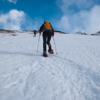
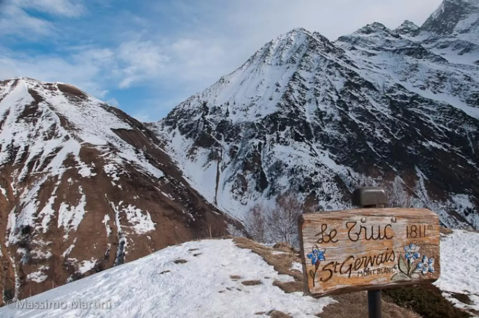
From the houses, continue on towards the final destination; ascend the fairly steep slope diagonally until reaching the top of the knoll where there is a panel with the Truc sign (1811m, 2h00').
The descent follows the same route as on the way up (1h00').
