Mont Ros dèsot, from Bellecombe
Access
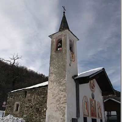
From the motorway exit at Châtillon, turn left heading towards the town centre until you reach a first crossroads where you turn left again. Follow Strada Barat then Viale della Stazione as far as the subway over the railway line, after which turn left again, following signs for Ussel/Pery/Bellecombe. Continue on the little communal road, cross the Dora Baltea and reach the characteristic village of Ussel, known for its medieval castle. Continue on the communal road surrounded by chestnut trees until you reach the village of Bellecombe, where you will find a large free car park 🅿️ in front of the chapel of Saint Anne.
[0h1'7] - [8.5km]
How to get there with GMaps
How to get there with Apple Maps
The directions given here have been verified at the time of the survey of the route. Before setting off, it is advisable to ensure that no substantial changes have occurred on the route to the starting point. Therefore, we recommend the use of the satellite navigation apps provided by Google or Apple to obtain up-to-date and detailed directions.
Introduction
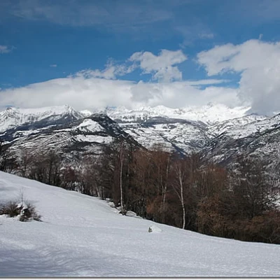
Beautiful hike, little known but certainly very interesting. As you ascend the beautiful woods above Bellecombe, you can enjoy interesting views of the middle Valle d'Aosta.
Description
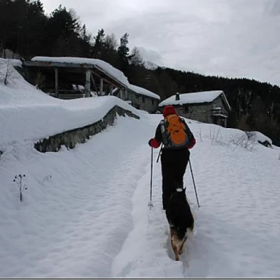
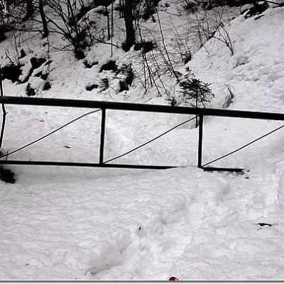
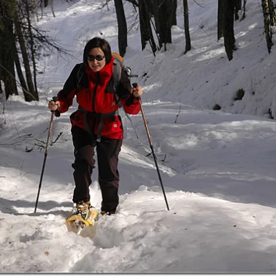
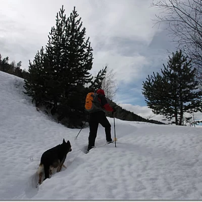
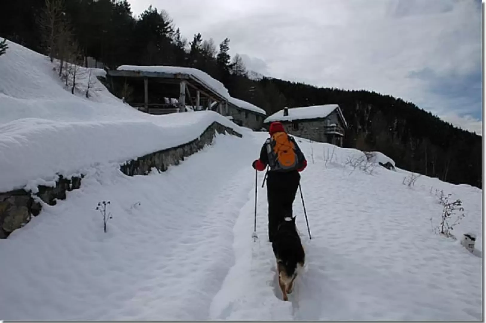
Leaving the car behind, we set off near the characteristic chapel of Sant'Anna di Bellecombe, taking a snow-covered track with signs for Alpe Valmeriana and Mont Barbeston. After a short, semi-flat stretch, the track turns to the right, beginning the ascent above the houses of Bellecombe. In a short time, you reach a small clearing from which you begin to see interesting views of the Adret mountains from Mont Mary to Mont Zerbion. You pass near a small aqueduct and, shortly after a hairpin bend, you come to the turnoff for Alpe Valmeriana (, 1097 m, 0h20'): you ignore it and continue straight ahead along the track until you reach a bar that closes the road to vehicles (1120 m, 0h25').
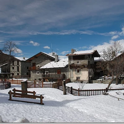
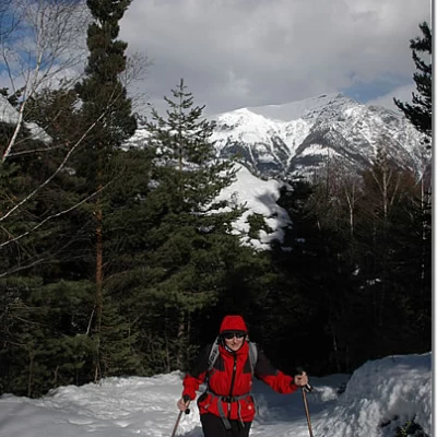
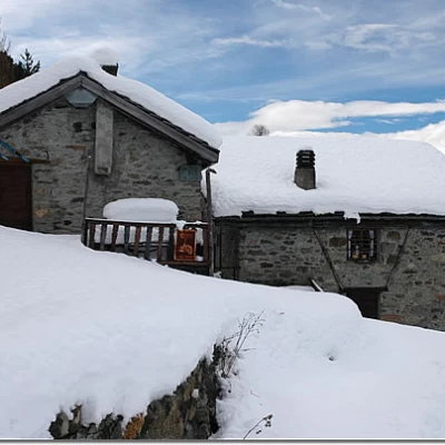
You continue through the beautiful forest with a series of small hairpin bends alternating with some long straight stretches. Along the way, glimpses open up in the forest, affording some views of the surrounding mountains such as Mont Zerbion; or Mont Faroma; the route continues without any particular difficulty until it reaches the edge of the clearing below our destination. We pass a last hairpin bend and finally reach Mont Ros (1415 m, 1h30'), a small hamlet consisting of two renovated houses.
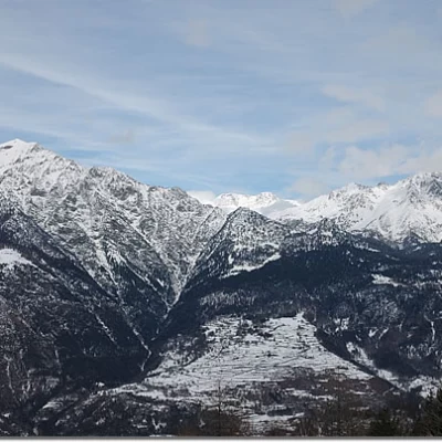
From up here, the view is remarkable as well as interesting, in fact, in addition to being able to see the south face of the Lyskamm in the distance, it allows us to observe the middle valley in a privileged manner.
The descent takes place on the same route as the ascent (1h00').
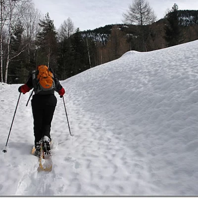
This route is not very popular: if the track is not present, the walking time could be extended by 15 to 30 minutes depending on the height of the snow and its conditions.
Riferimenti Bibliografici
- Tracce Lievi - Martini Massimo - Martini Multimedia, Saint-Vincent, 2007
