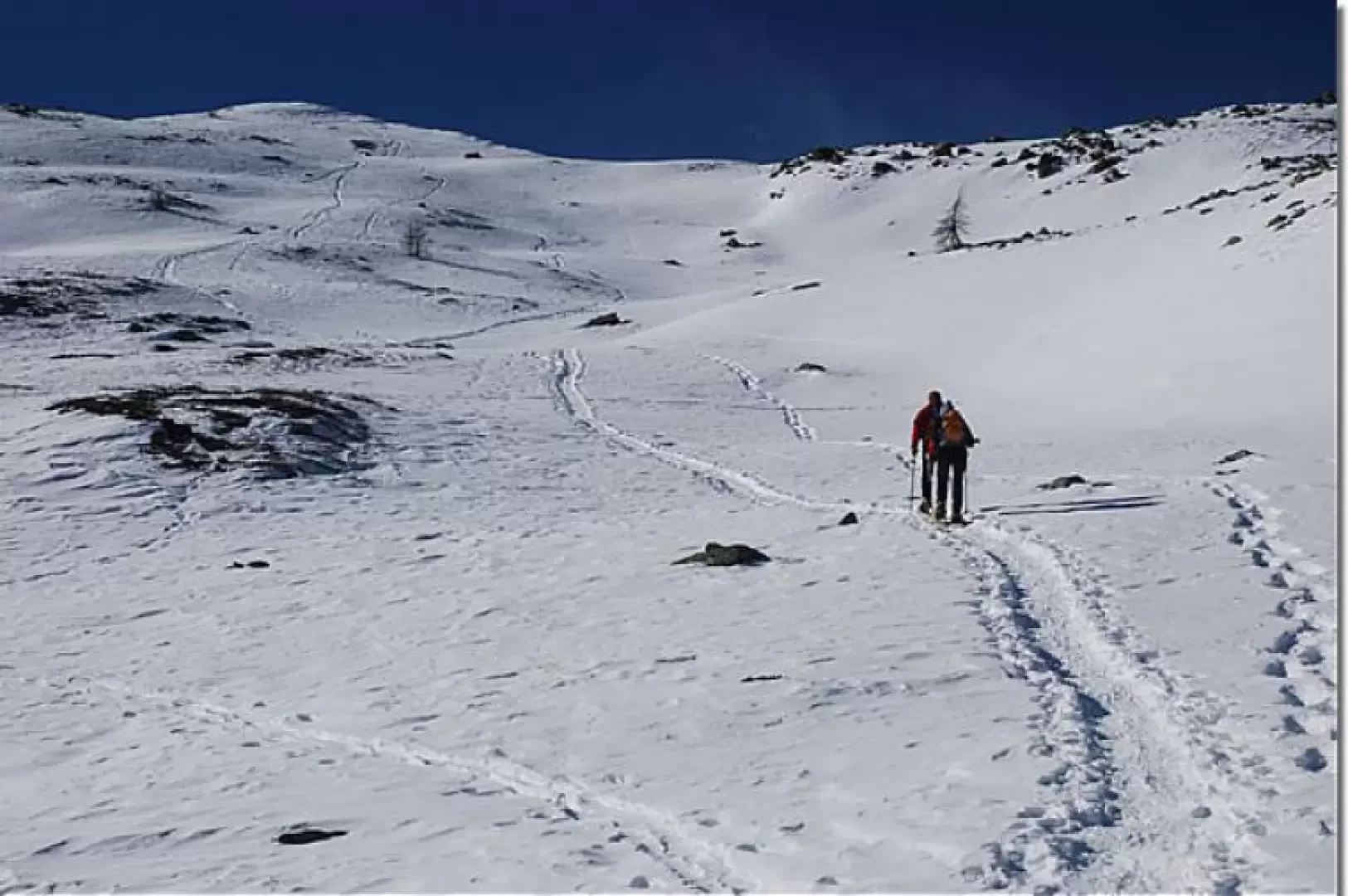
Mont Ros de Champorcher, from Mont Blanc

Access
Leaving the motorway at the Pont-Saint-Martin exit, turn left and take state road 26 to Bard; shortly afterwards turn left onto regional road 2 to Champorcher. Go up the entire Champorcher valley and as far as the main town, immediately afterwards take the road on the right that leads to the village of Mont Blanc: continue for a few kilometres until you reach a large car park along the road, near Mont Blanc. For those coming from the upper valley, we recommend exiting the motorway at Verrès, then turning right onto state road 26 to the junction for Champorcher.
Introduction
At the foot of the Tête des Hommes and the Gran Rossa, a peculiar balcony extends over the Champorcher valley below. The destination of the hike is Mont Ros, a small relief with not excessively steep slopes that allow it to be reached without any particular difficulty.
.Description
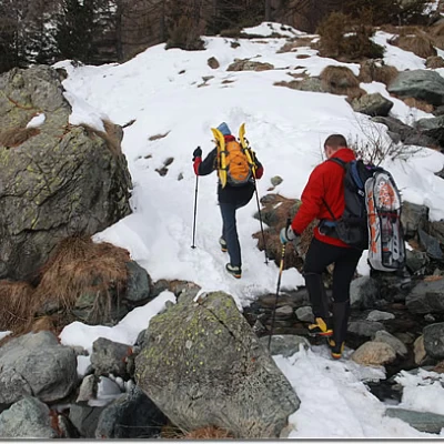
Leaving the car behind, we set off along the small road that leads to the starting point of the itinerary. Following the signs for the Barbustel hut, one begins to climb the steep initial part of the path, lined with wooden railings. You gain altitude and after a few minutes meet the fork for Arcomy (1805 m, 0h05', ) which you ignore by taking a short left turn. You cross a short stretch of larch woodland (Larix decidua) and then come to a small depression that is climbed with a series of turns. On the way up, leave a lonely alpine pasture to the right and continue climbing along a wide gully that quickly leads us to the ruins of Grand Cort (1940 m, 0h20'). Shortly afterwards, you come to the marker for the Terra Rossa pass (1963 m ,0h30', ), continue to the left on the slope that decreases slightly in intensity until you come to a fork in the tracks: follow the path to the left in the direction of our destination and the Vernoille lake in the presence of the Torretta and the Tete des Hommes. We cross a small impluvium and begin to ascend a short, sloping slope. Go up diagonally, heading towards the Vernoille Desot alpine pasture (2134 m), but leave it to the right. Slowly approach the Vernoille lake (2145 m), bypassing it on the left and finding yourself in the presence of the beautiful snowy slope descending from Mont Ros. One ascends in the direction of the summit, following the possible tracks. You pass near Vernoille Damon (2179 m) and enter a slight depression, quickly gaining altitude. There are a few turns, to ease the slope a little, to reach the final crest: turn left and in a few minutes you will reach the rocky summit of Mont Ros (2289 m, 1h30'). The return is by the same route as the outward journey (1h00'). Photo gallery First part of the ascent Junction for the Terra Rossa pass At the foot of the Torretta The snowy panettone of Mont Ros Vernoille Desot Lake Vernoille Damon Climbing towards the summit On the crest, towards the summit From the summit, the Champorcher mountains
Riferimenti Bibliografici
- Tracce Lievi - Massimo Martini - Martini Multimedia Editore, Saint-Vincent, 2007

