Mont Fourchon
Introduction
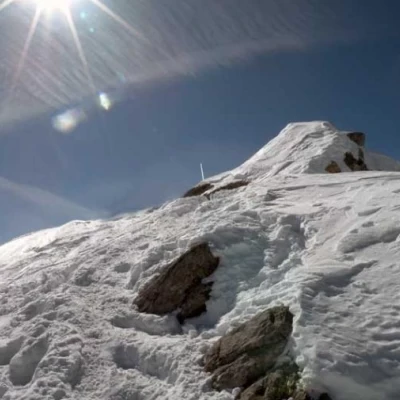
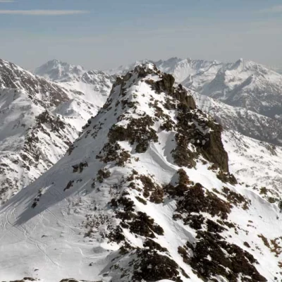
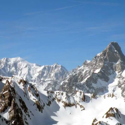
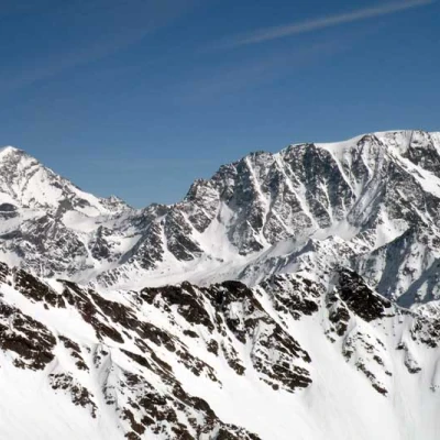
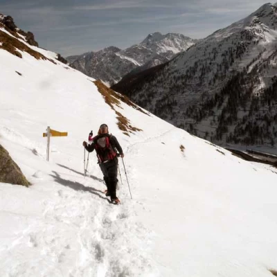
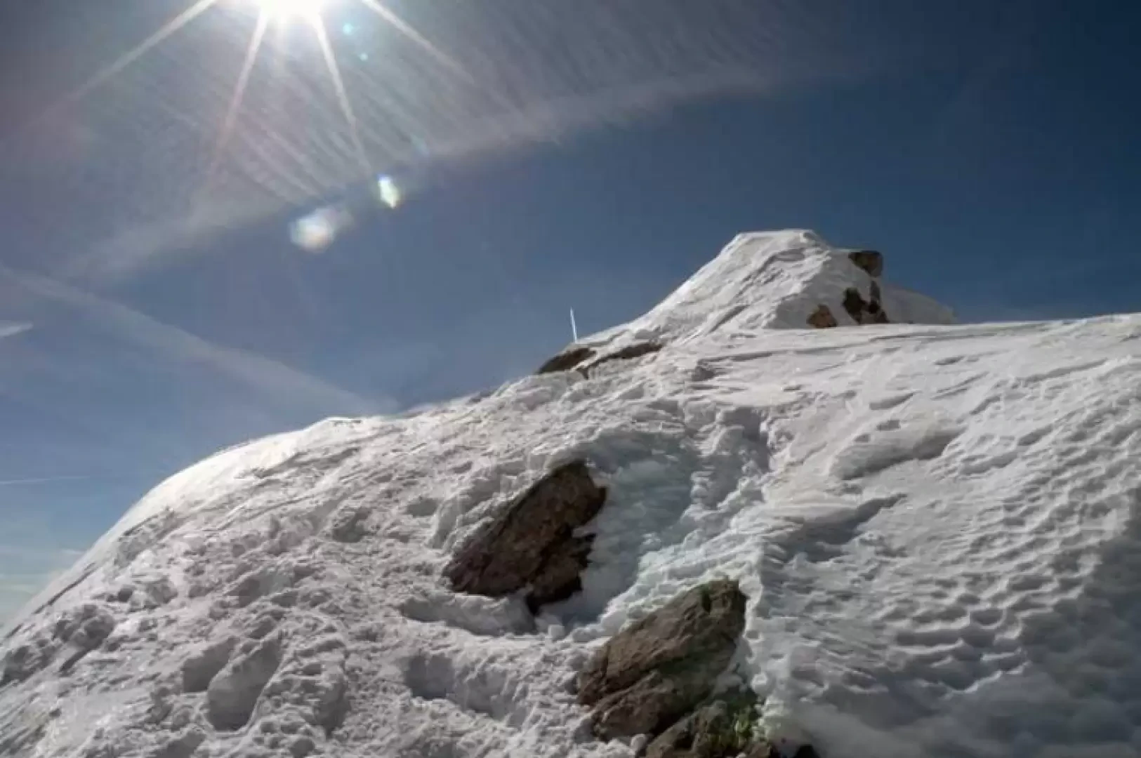
Mont Fourchon is an excellent vantage point on the Italian-Swiss border ridge that separates the Italian Gran San Bernardo high valley with the Swiss Val Ferret high valley, and its long ascent (over 14 km in length) takes place in the high valley of St. Rhémy and then insinuates itself into a splendid secondary valley. The excursion is very popular with ski mountaineers, especially Swiss ones, who have the advantage of the nearby ski lifts, but it is also suitable for snowshoes as it does not present very exposed traverses or slopes with excessive gradients; the only stretch that is a little delicate is the last few metres of the crest where, depending on the snow conditions, crampons may be useful to reach the summit, which is really not very wide. The itinerary proposed here is a ring-route and includes the return descent from Baou, on the track of the summer path, halfway down the panoramic left orographic flank, which must be done with the snow well settled on the slopes. If you want to shorten the height difference considerably, you can, in years with good snow cover, wait for the opening of the state road, which is usually between the end of May and the beginning of June, leaving your car in Baou and starting the ascent from there.
Description
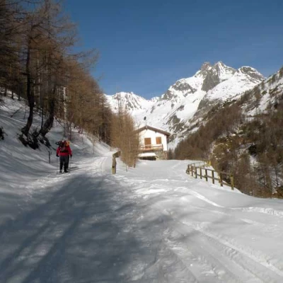
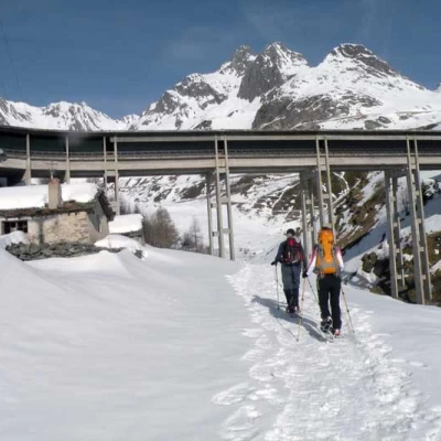
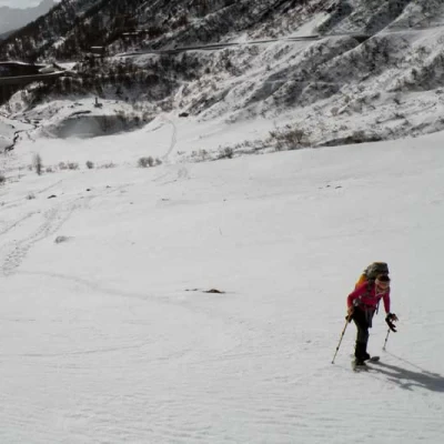
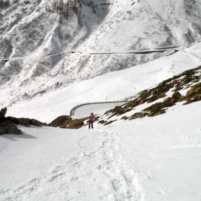
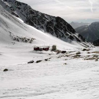
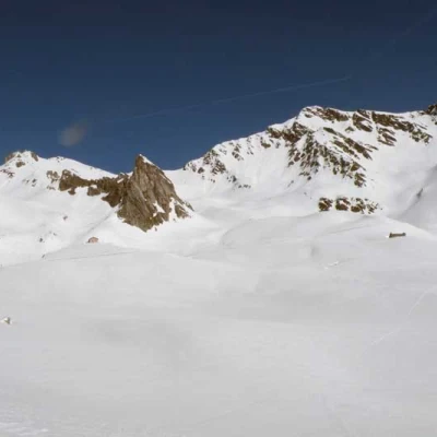
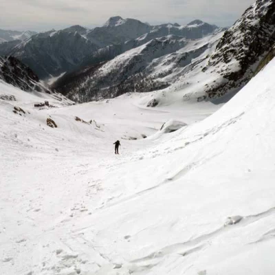
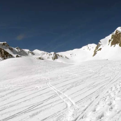
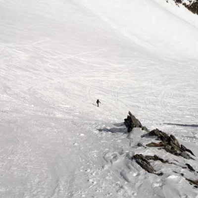
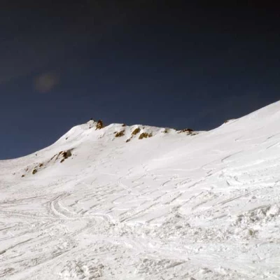
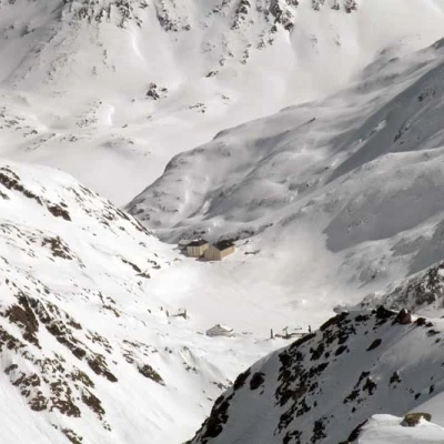
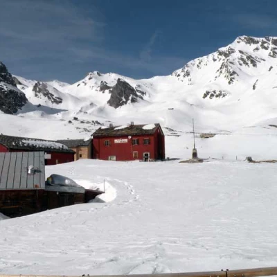
From the car park, continue along the snow-covered road for a level stretch, passing almost immediately to the left of a signpost, and then cross a wide bridge from which there is a fine view of the upper part of the valley. Continuing over the bridge, you leave the track of the road and, with a straight path slightly uphill in the sparse woodland, you first pass the La Tuette hut (1785) and then leave the Ru hut (1861) to the left and pass under the viaduct of the Gran San Bernardo Tunnel, beyond which the valley opens out completely with the splendour of its upper part. After passing another small hut, we begin the ascent of the wide slopes in the direction of some clearly visible embankments of the hairpin bends of the road that rise to the right and where the gradients begin to be significant; having crossed the road for the first time, we continue towards the upper hairpin bend after which we climb a somewhat steep slope that, skirting the mountainside, reaches the road again just above the cantonment house of the La Cantine locality. From here, the slope decreases considerably and we walk, following the path of the road, towards a large triangular-shaped rock to the left of which is the Baou hut (2,381 m), which we soon reach; from this point, we take a gully on the left that rises with a good slope and leads to a vast upper valley at the bottom of which we can see the triangular outline of our destination. We continue mainly in the central part, passing some low snowy bumps and then heading to the right of a low point of rocks and snow to ascend a slope that leads to a wide creek: from this we can see the final part of the ascent, having now reached the last metres of difference in height to overcome to reach the summit. Walk for a short distance in a small hollow remaining on the left and with a few hairpin bends you will reach a col from which a traverse begins that shortly leads to the start of the short ridge that you will follow to reach the little summit.
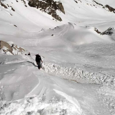
For the return journey, return to Baou and, after a short stretch along the road to the right, cut left in the direction of the cantoniera house (2216 m) which is reached by an easy descent down a short slope; having passed between the few houses, leave the road that crosses them and begin to descend to the right where you will find a first signpost and, later, near the second (2136 m), begin a fairly long and somewhat exposed traverse that loses little altitude. Once the exposure has diminished, descend more rapidly, always cutting across the mountainside, until you reach a few hairpin bends that bring you back down again for a short traverse, arriving just above the road near the bridge, descend freely down the short slope to reach it and thus return to the start point in a short time.
