Mont Facebelle, from Mandriou

Edited by:
Giancarlo Beretta
Updated at: 15/08/2024
Introduction
Introduction This itinerary is particularly popular in the lower part as far as the Vascotchaz mountain pasture and the adjacent little church, while beyond that, especially due to the steepness of the final section, it requires a little experience to tackle the final traverses.
Description
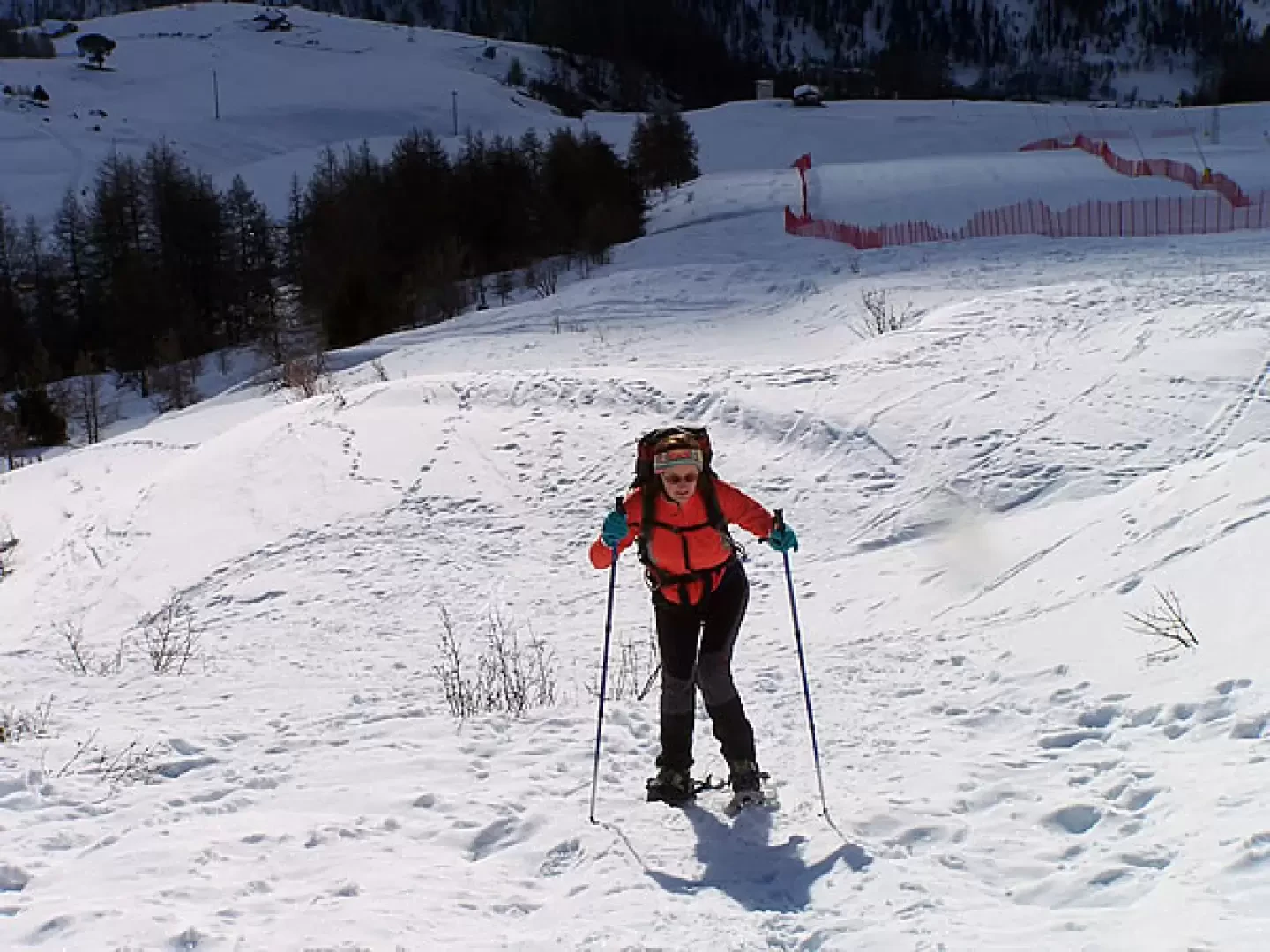
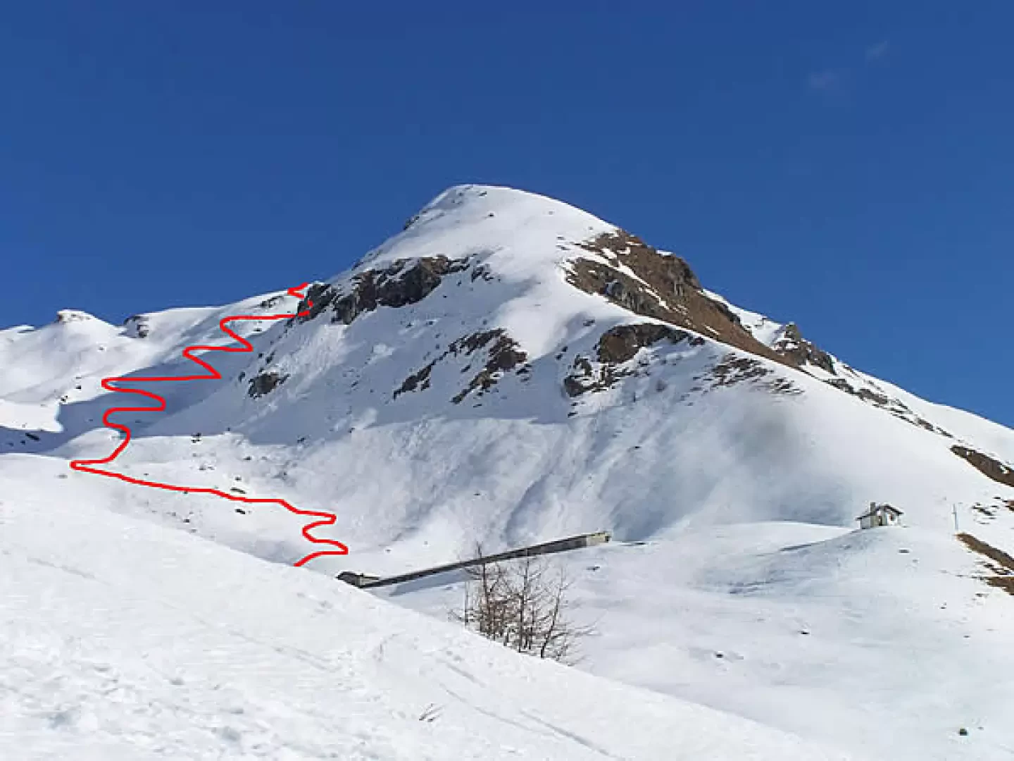
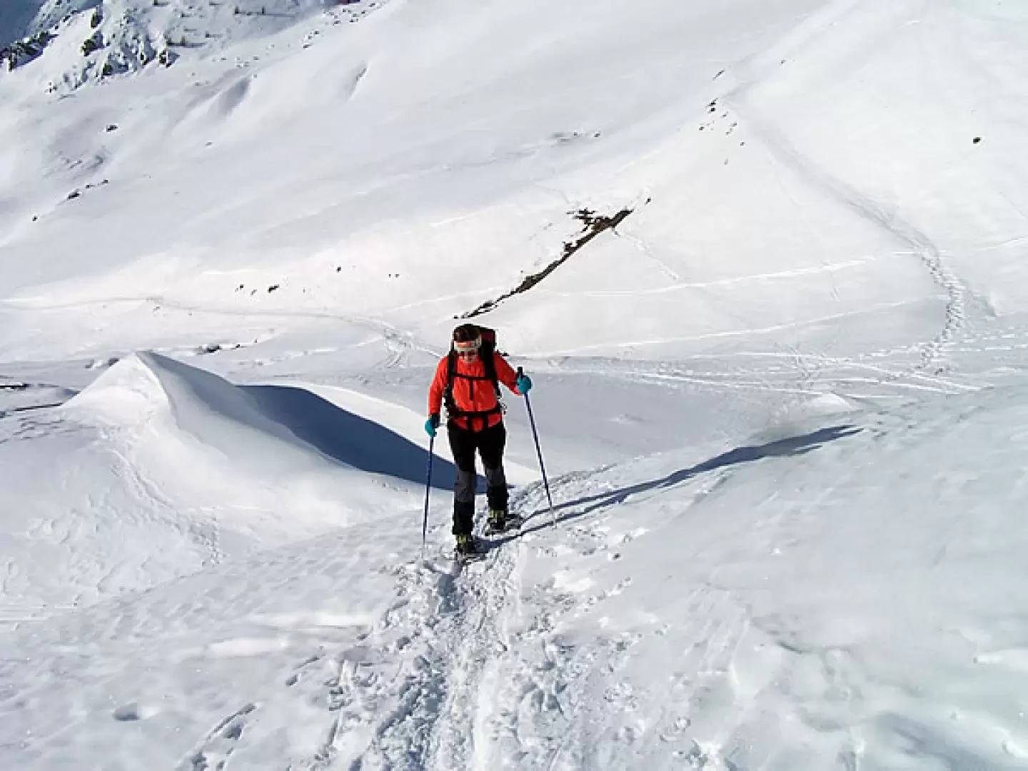
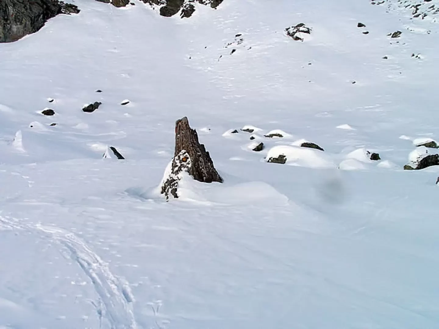
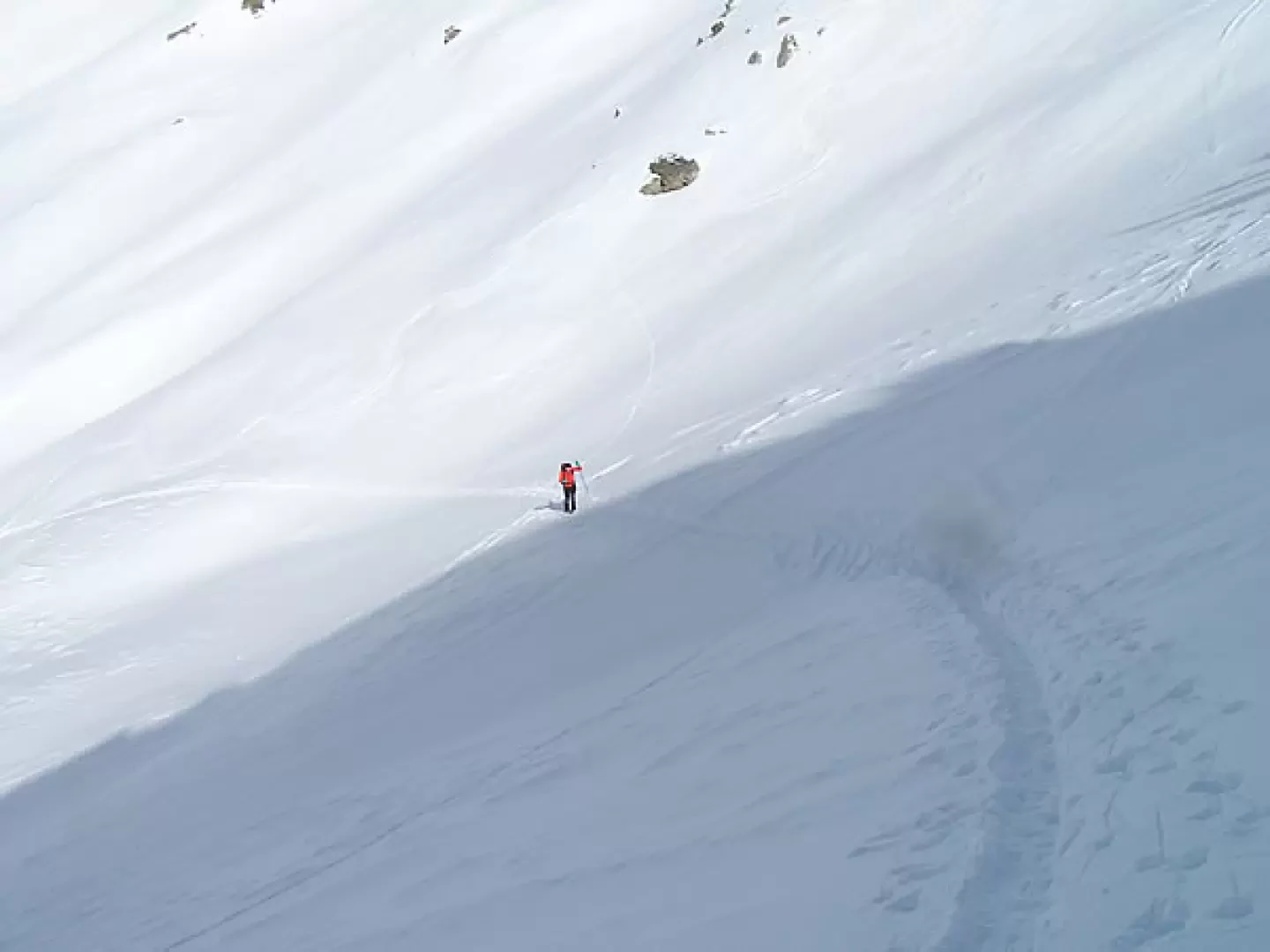
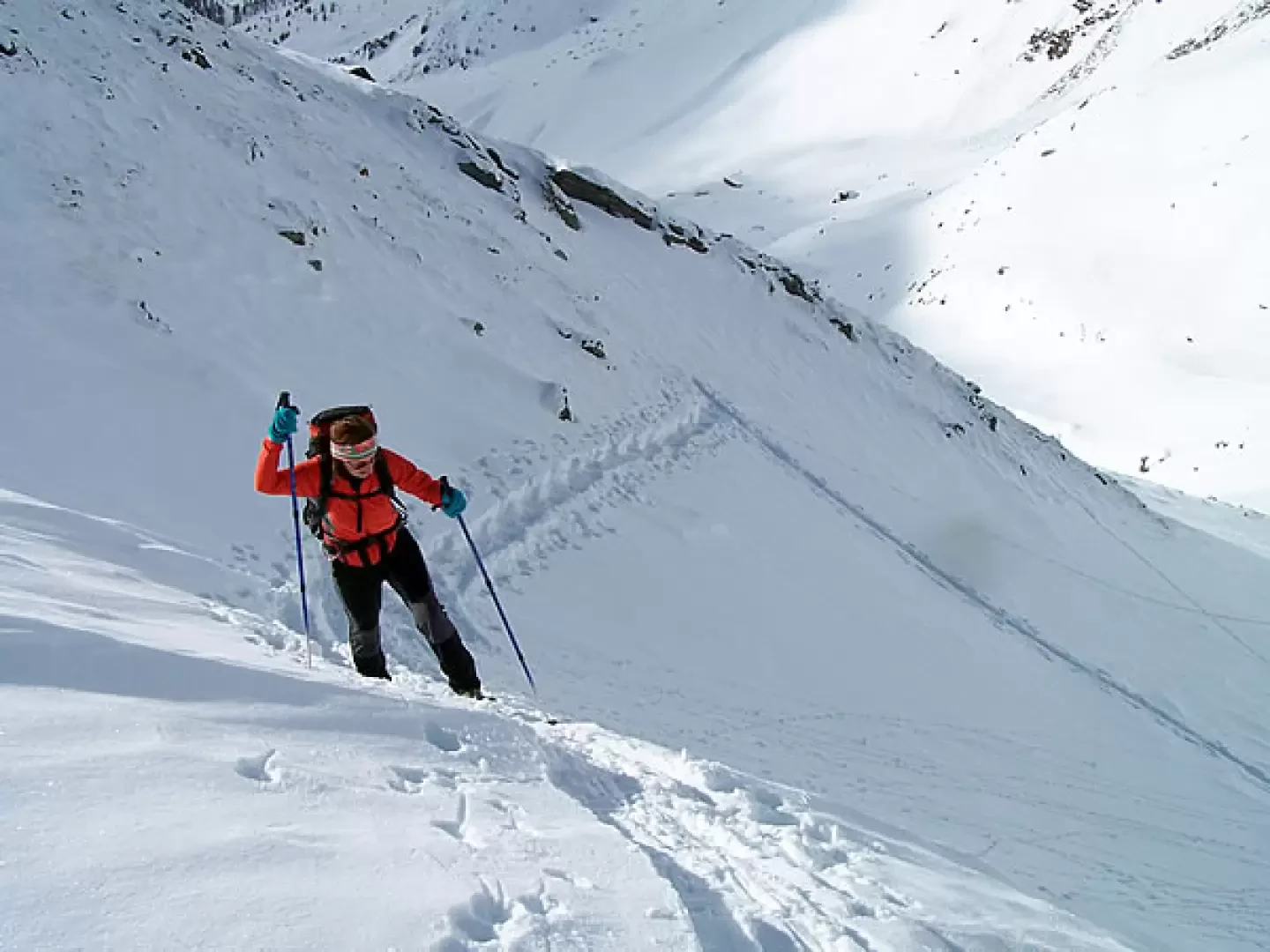
From the car park, head westward across snow-covered meadows towards the clearly visible ski slopes. Climb the gentle slope, crossing a narrow road a couple of times; then the gradient increases and, zigzagging along the slope, deviating a little to the right you reach a small plateau. From here, take as a reference the Vascotchaz mountain pasture and the nearby little church, clearly visible on the right, and you can also see the second part of the ascent itinerary: continuing now slightly uphill on the orographic right of the valley (the left as you climb) and passing a couple of small streams that descend from the slopes above, you reach the mountain pasture, which you leave on the right. Climbing above it with a few hairpin bends, the slope now becoming slightly steeper, you keep roughly in the centre of the valley and then, after a few traverses at a point where the ascent diminishes in intensity, you head towards a solitary pointed stone emerging from the snowpack. Having passed it, head up towards the right (straight on to the Vascotchaz pass and on the left you can see the imposing silhouette of Bec de Nannaz), also following any existing tracks and, gradually increasing the slope, rise towards the final slope that is now in front of us. Before reaching the summit, however, we have to pass a few somewhat steep traverses both below and across some rocky outcrops. After this effort, the gradient decreases more and more and you reach the final ridge that leads to the summit.
The return journey follows the same itinerary as the ascent.
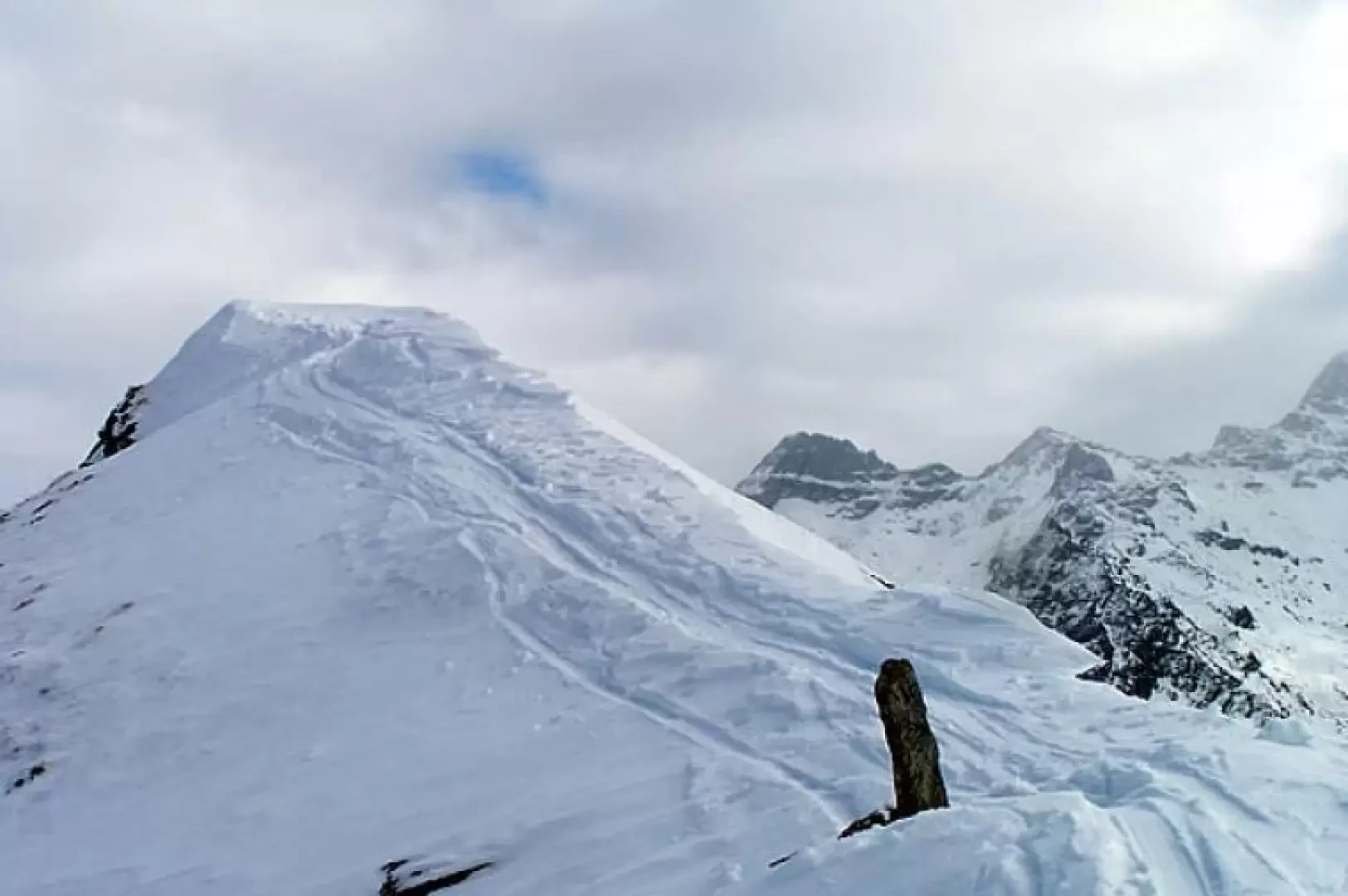
The summit can also be reached by climbing up to the Vascotchaz pass and from here take the ridge to the right, but if it is icy or in the case of windy snow with some small ledges, this can create some difficulties. For the avoidance of doubt, it is better to climb directly up the slope to the summit: it is undoubtedly steeper, but at the very least you can do a few more hairpin bends (in the end, the difference in height is always the same).
Galleria fotografica