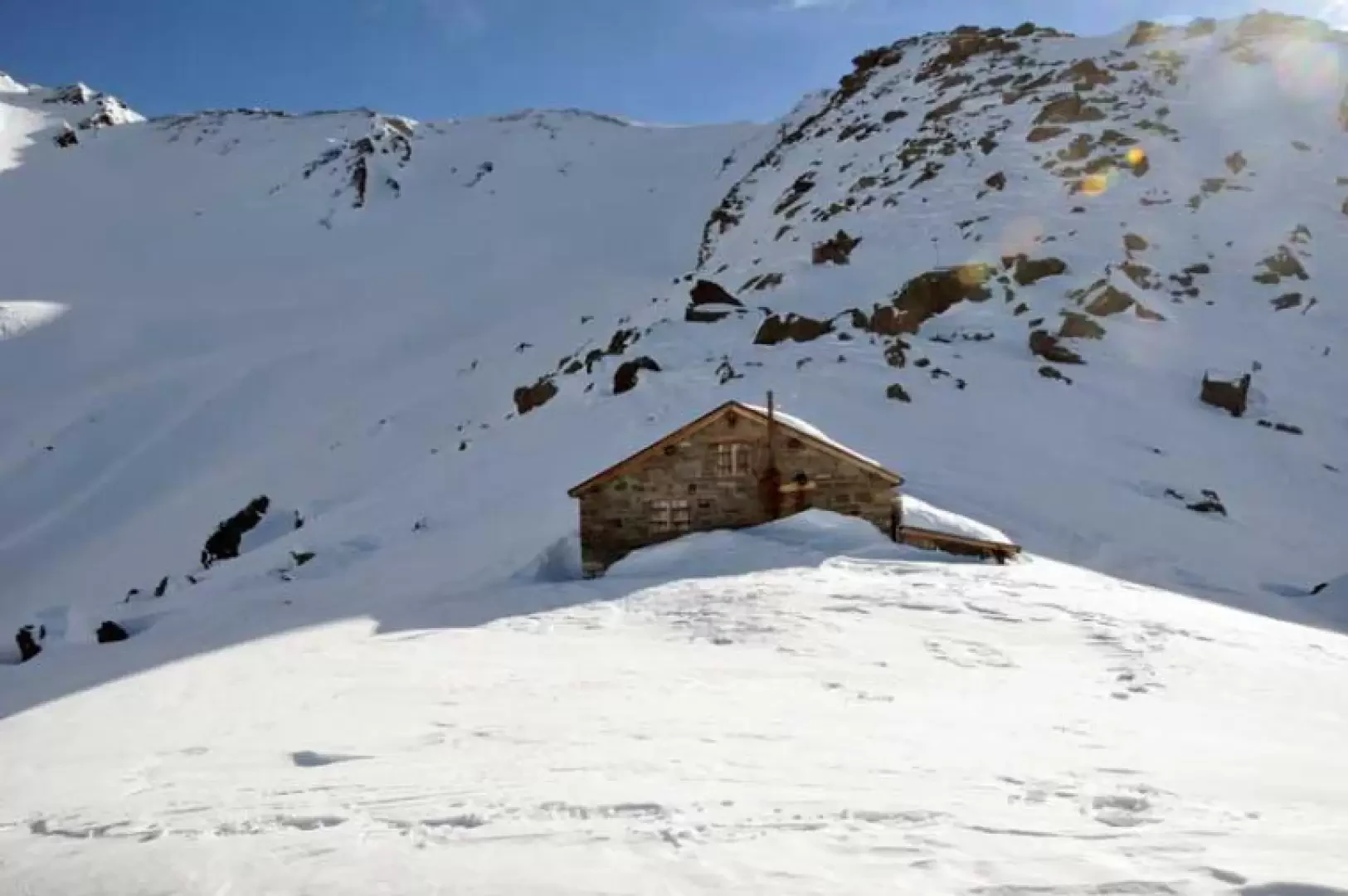
Mäderhütte, from Rothwald

Edited by:
Giancarlo Beretta
Updated at: 14/03/2025
Access
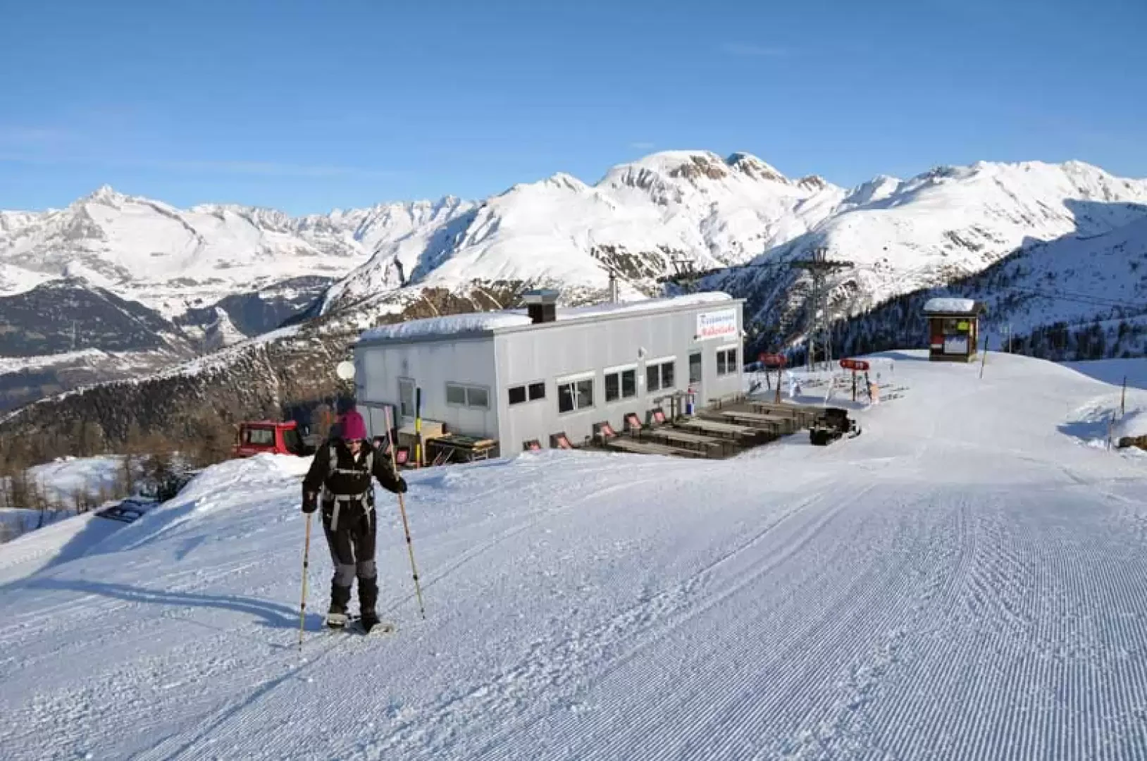
You drive along the A-26 Genoa-Gravellona Toce motorway and, having arrived at Gravellona, continue on the dual carriageway in the direction of Domodossola and the state border. Once you have passed the Iselle-Trasquera customs post, continue on into Swiss territory, arriving at the Simplon Pass, which you cross and descend for a few kilometres to the village of Rotwald, where you can leave your car in the car parks along the road or in an open space near a restaurant.
.Introduction
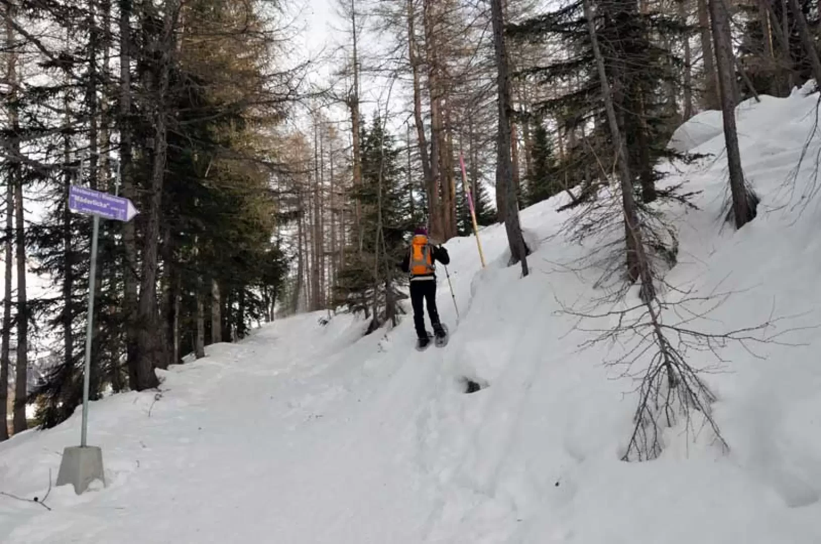
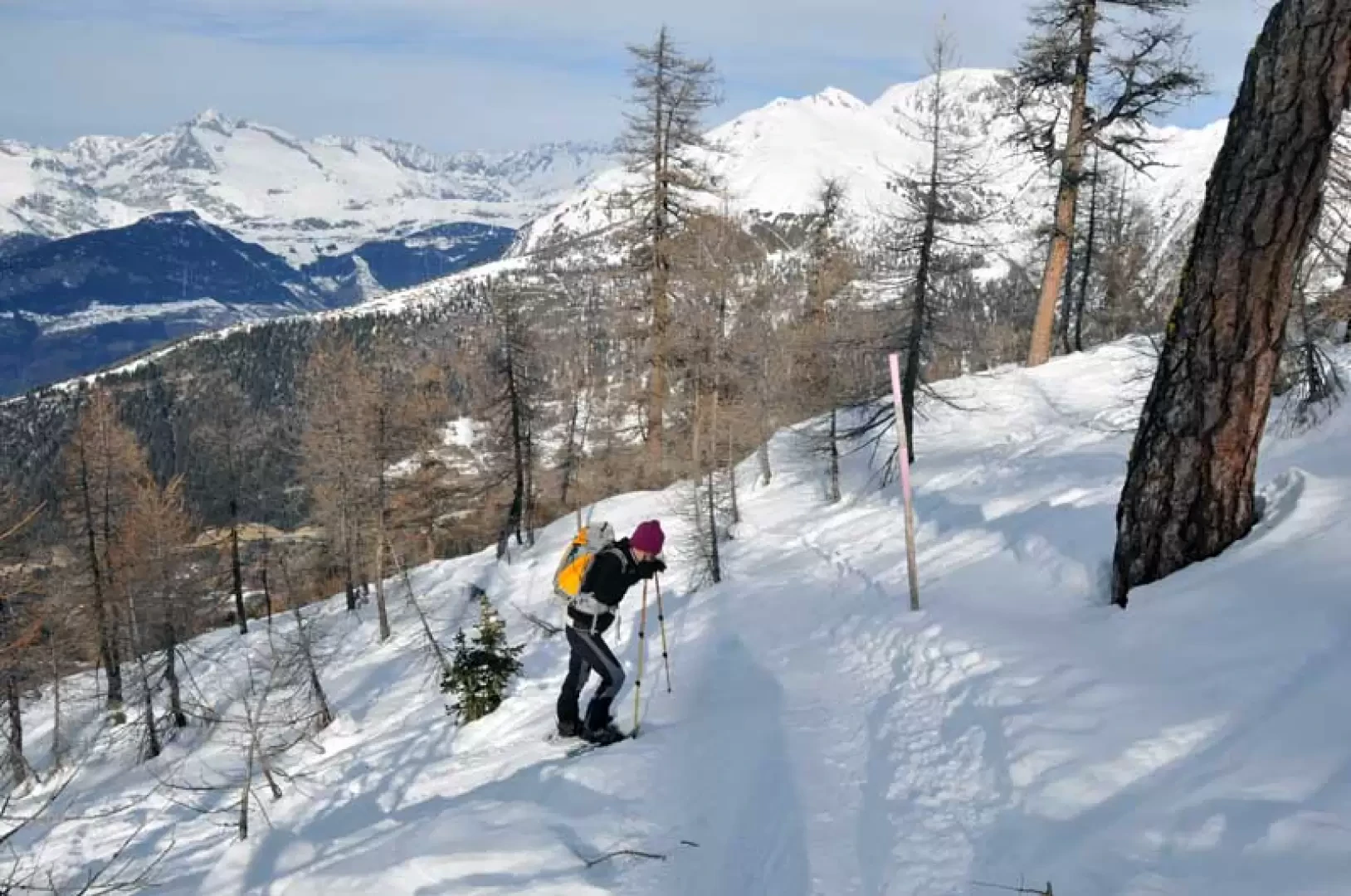
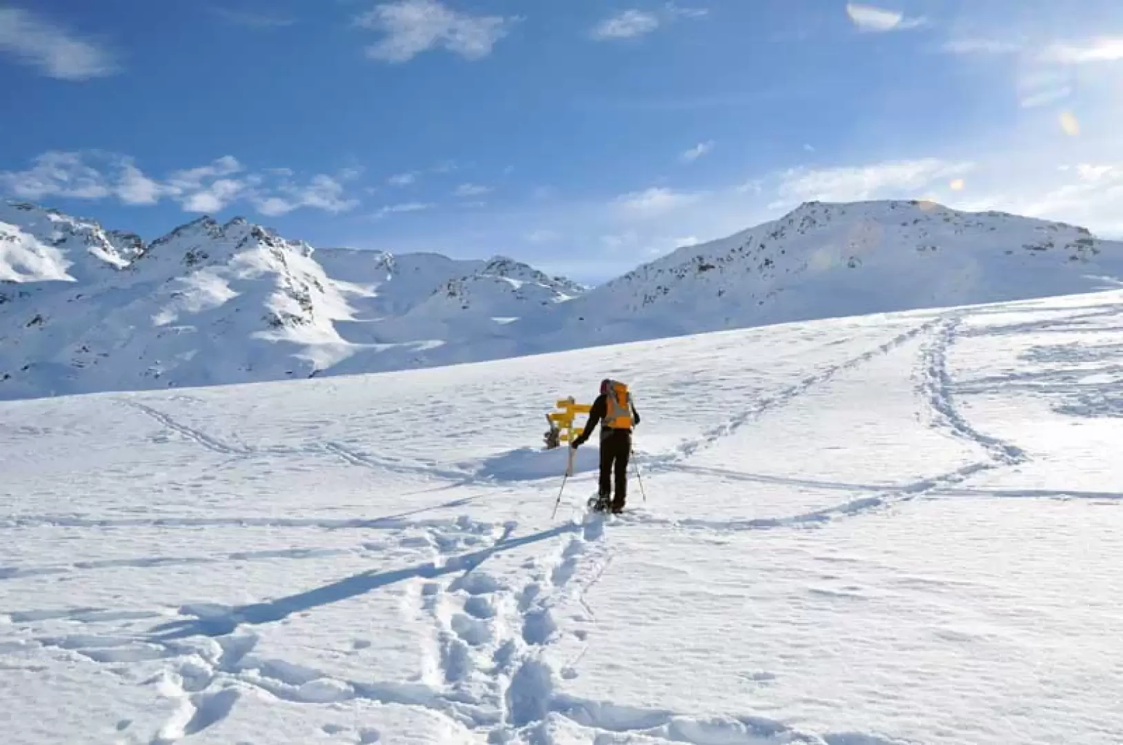
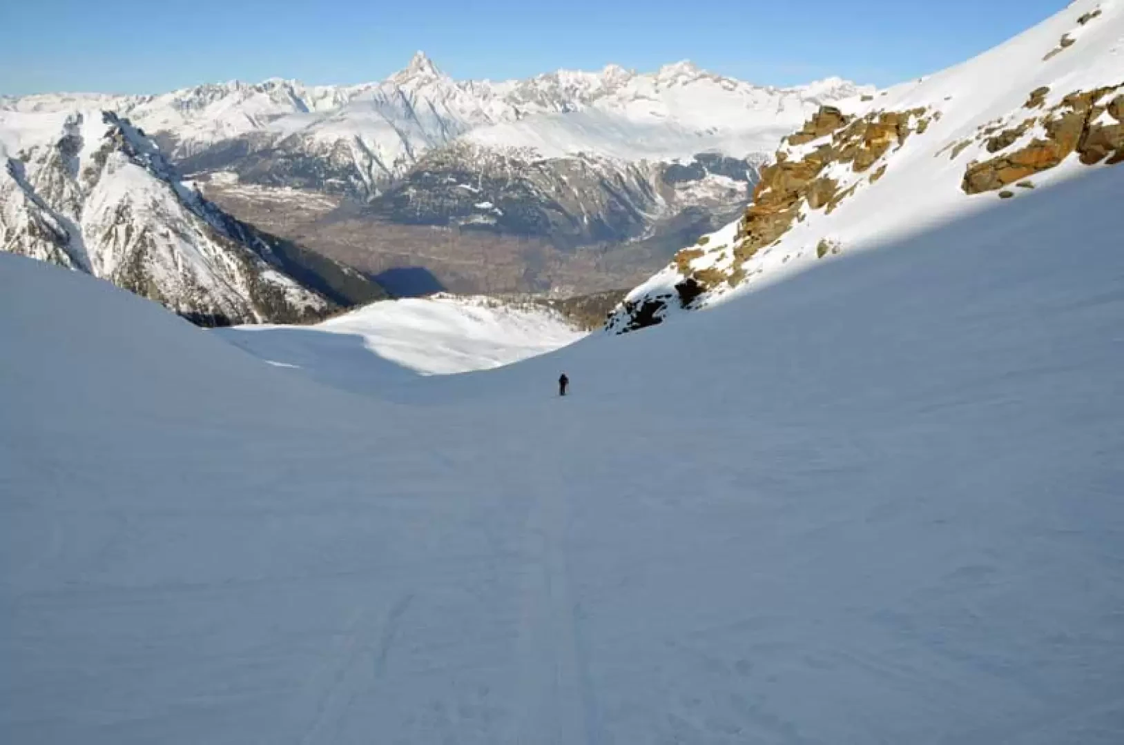
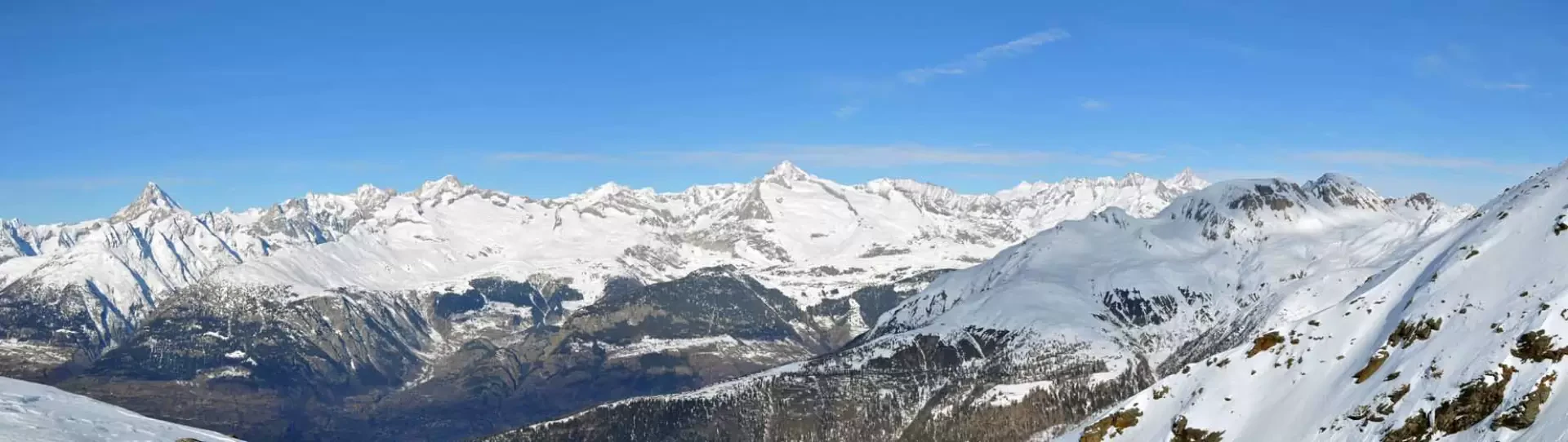
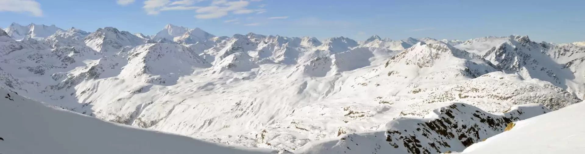
This hike arrives at an old hut, now closed, located on a promontory from which the panorama on a clear day is truly exceptional and extends from the Fletschhorn in the west, with the nearby 4000-metre peaks of Saas Fee, to the 4000-metre peaks of the Bernese Oberland visible in the north. The route in the first part is well marked by wooden posts with purple stripes that lead to the restaurant on the upper slopes of Rotwald and is always well traced while, from the restaurant onwards, it is possible to follow the tracks of any ski mountaineers and in any case the direction to enter the valley is logical and evident; it must be remembered that in the colder months and with the shorter days the ascent is almost all in the shade, finding the sun on the promontory of the hut.
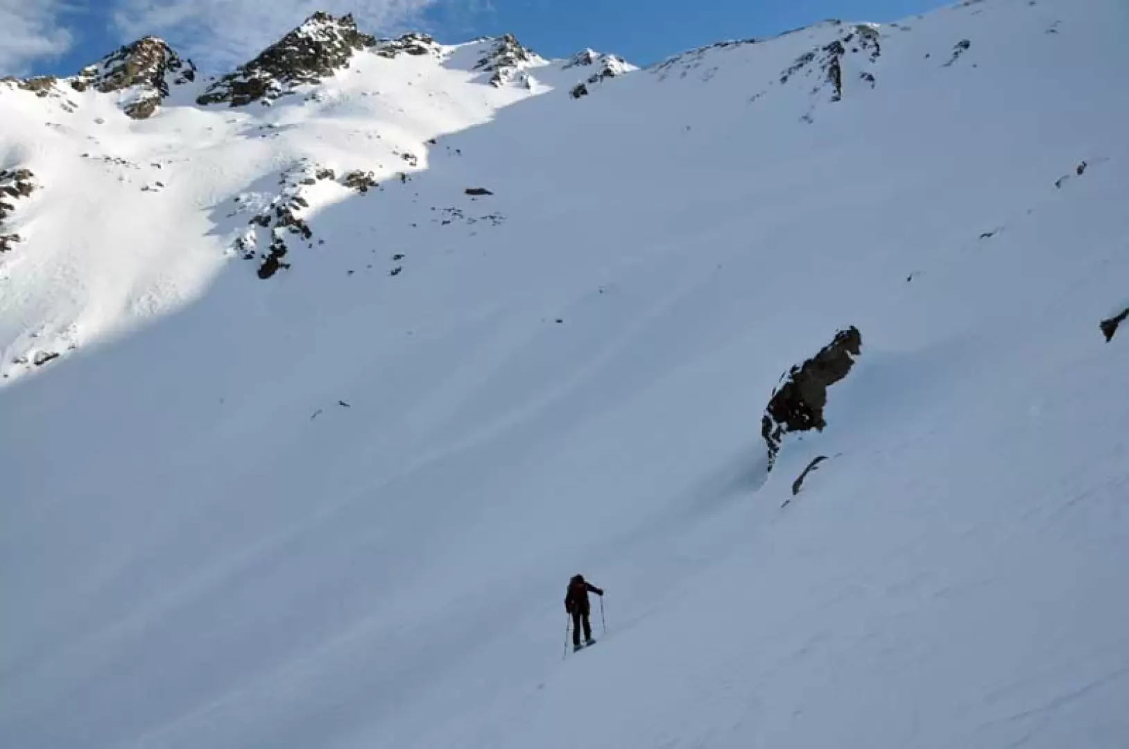
.Description
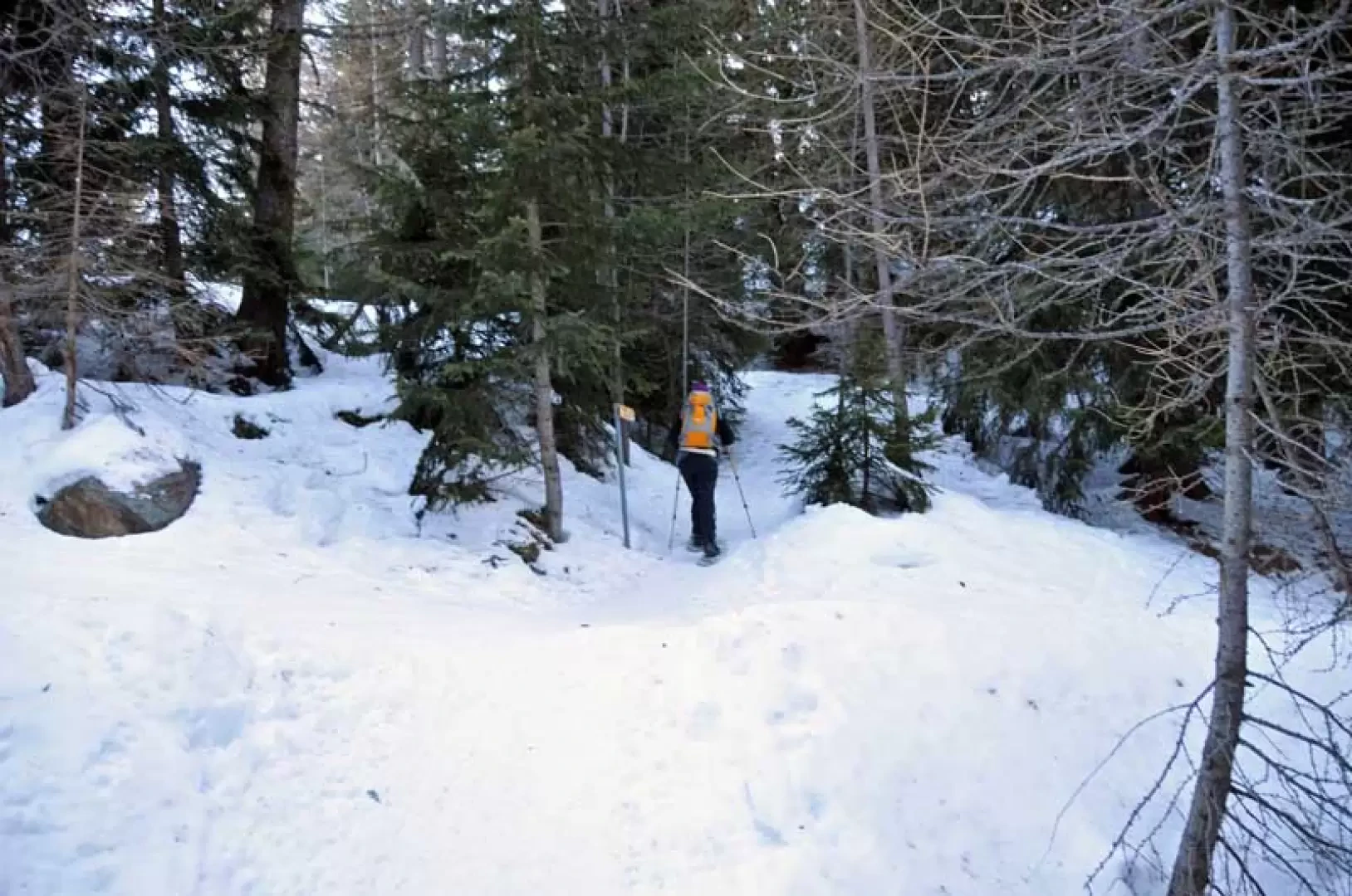
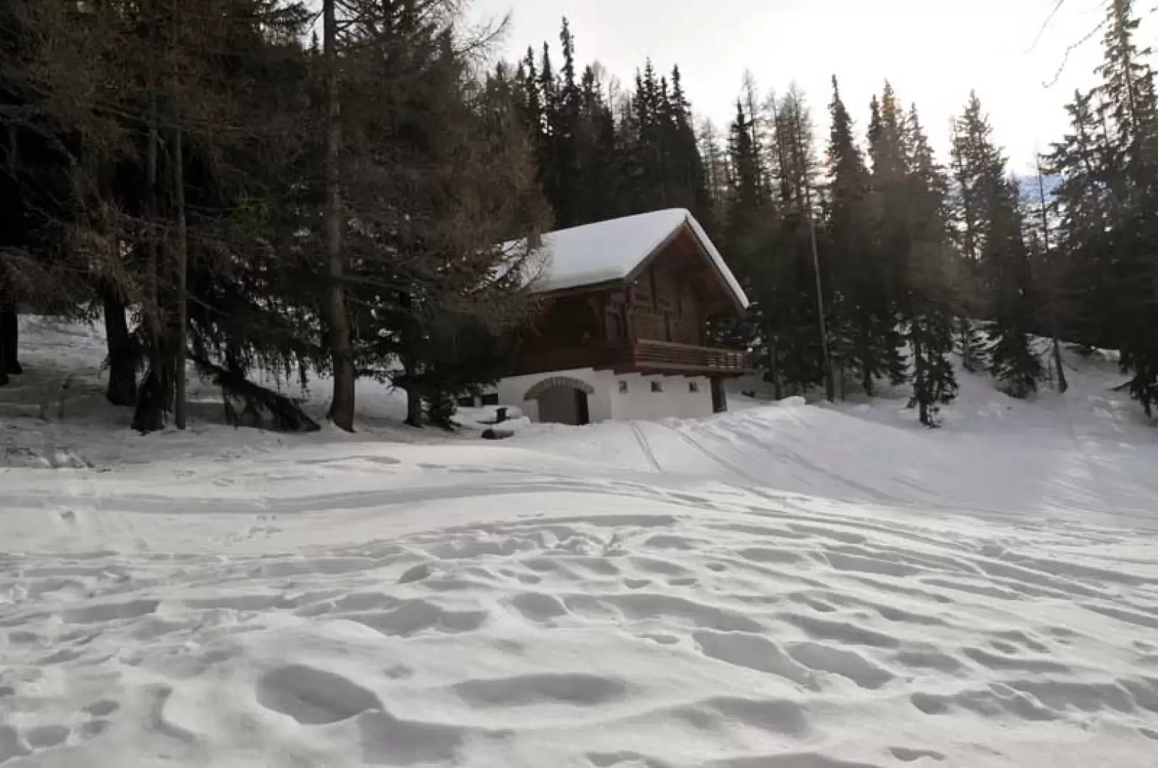
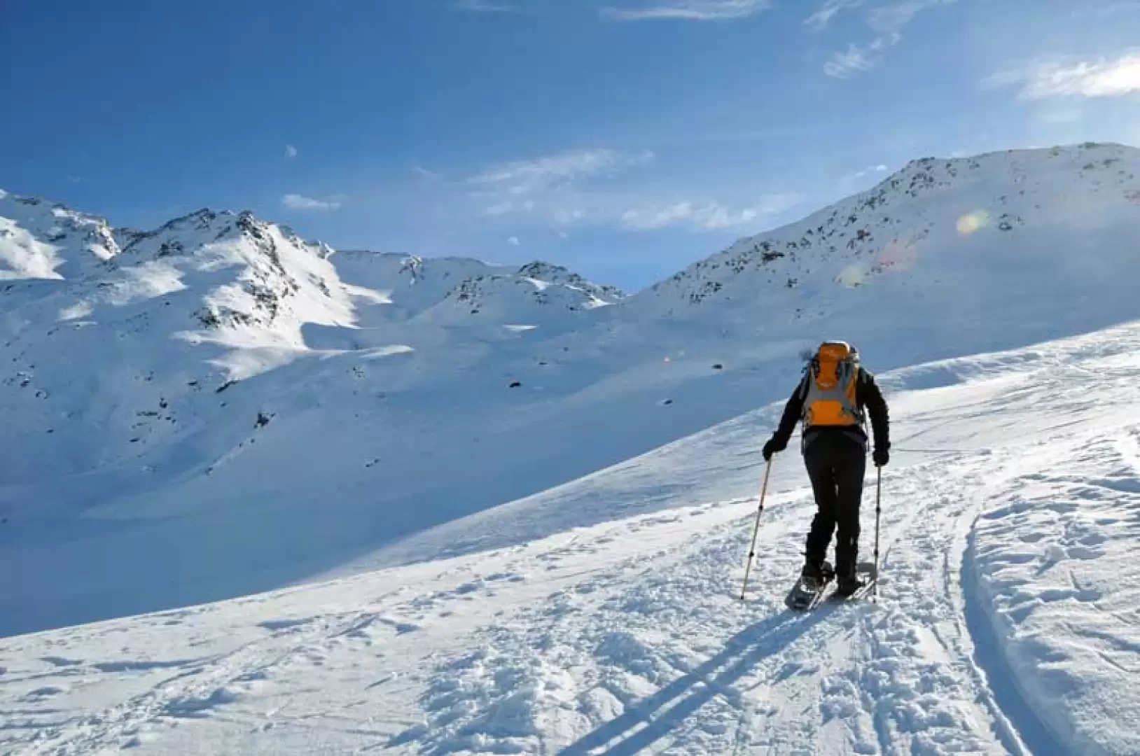
From the road, climb up the usually well-marked path, which at the beginning, after passing under a small ski lift bridge, cuts across a small road at several points passing by a post and enters the forest. You pass a small wooden building and after a few gentle bends, you pass a beautiful hut located in a clearing; continuing on the track, you walk for a short distance on a wide mule track until you come to a diversion on the right (1874 m) with a sign indicating the restaurant located at the end of the lifts. The route now becomes a little steeper in places and, with an almost constant gradient, takes numerous hairpin bends that cut across both the road used as a piste for snowcats and the ski lift line; once above a promontory, the gradient decreases noticeably and you walk on a false slope, passing under the ski lift cables to climb up the short slope with a few scenic hairpin bends at the top of which is the restaurant at the end of the ski lifts (2234 m). From here, head towards the markers located a few dozen metres further down on the plateau (2225 m), thus beginning the ascent towards the wide and long valley, the Bodmertalli, which stretches out before us; at first staying to the right, circumventing a depression and then approaching a large promontory, turn left to enter the valley, walking at the points of lesser slope between the low undulations of the terrain. Remaining on the left, we make wide hairpin bends to climb the slope again and, having reached the height of a large isolated boulder on the right (at an altitude of around 2600 m), we begin to traverse towards it, reaching the wide shoulder of a marked promontory near which there is the panoramic building that we only see at the last moment.
Galleria fotografica