Levionaz desot, from Eaux Rousses

Edited by:
Massimo Martini
Updated at: 04/05/2025
Access
From the motorway barrier at Aosta-West, keep left and follow the signs for Aosta - Saint-Pierre. After one kilometre, at the roundabout, take the second exit to join the main road. Continue on the state road for 4.3 kilometres, passing the village of Saint-Pierre until you reach a new roundabout with the Gran Paradiso National Park sign. Take the first exit and continue on the state road for 1.4 kilometres until you come to the exit for Introd/Rhemes S.G/Rhemes N.D/Valsavarenche. Continue for 700 metres and at the roundabout take the first exit onto for Valsavarenche. Follow the regional road for 3.9 kilometres, pass the village of Introd and, after a series of hairpin bends, you will reach the junction for Val di Rhêmes . Continue left on and climb the valley for a further 19.2 kilometres, passing the main town of Dégioz before reaching the village of Eau Rousse, where a number of free car parks are located on the sides of the road 🅿️.
[0h35'] - [27.7km]
How to get there with GMaps
How to get there with Apple Maps
Eau Rousse can also be reached by bus with the company Arrive, leaving from Villeneuve in about 45 minutes.
Introduction
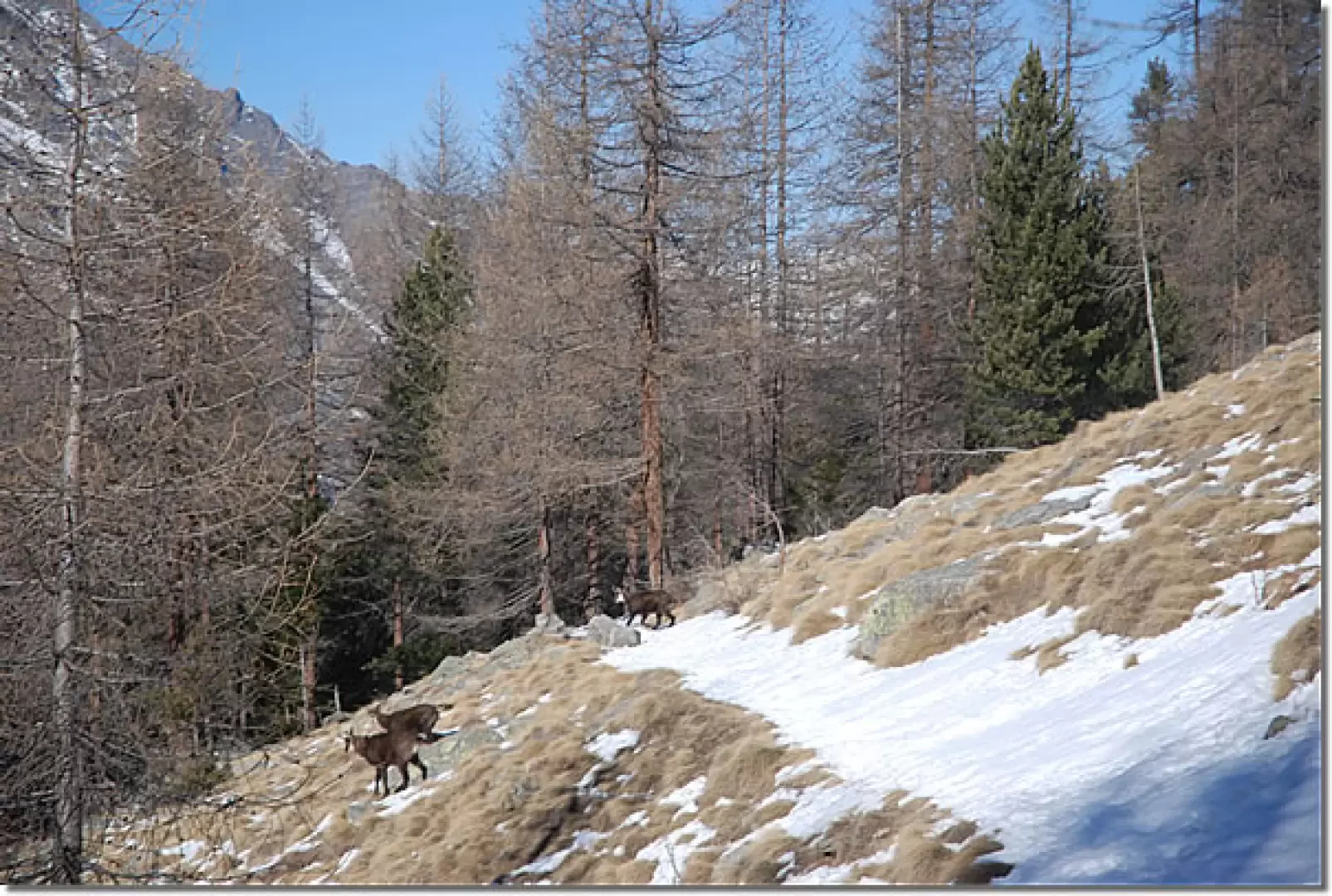
This route is best hiked in spring, when the snowpack conditions are stable and therefore safer. In fact, the hike follows the sinuous curves of the Alta Via 2 that allow you to ascend the steep ridges of the Côte de Chaud. Along the way, you will always be accompanied by the watchful gaze of the chamois, which populate this wild corner of the Gran Paradiso National Park in large numbers.
We recommend tackling the route only in optimal snow conditions, which is why it is advisable to do it during the spring.
Description
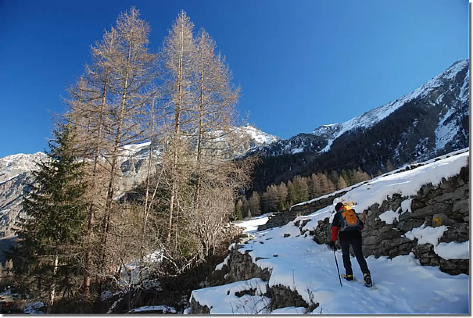
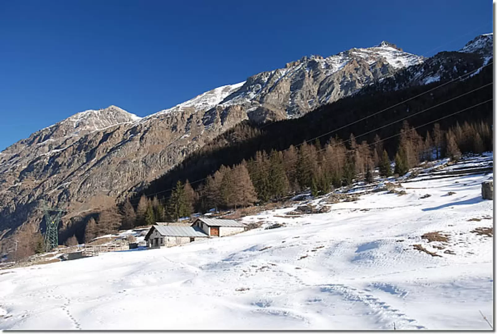
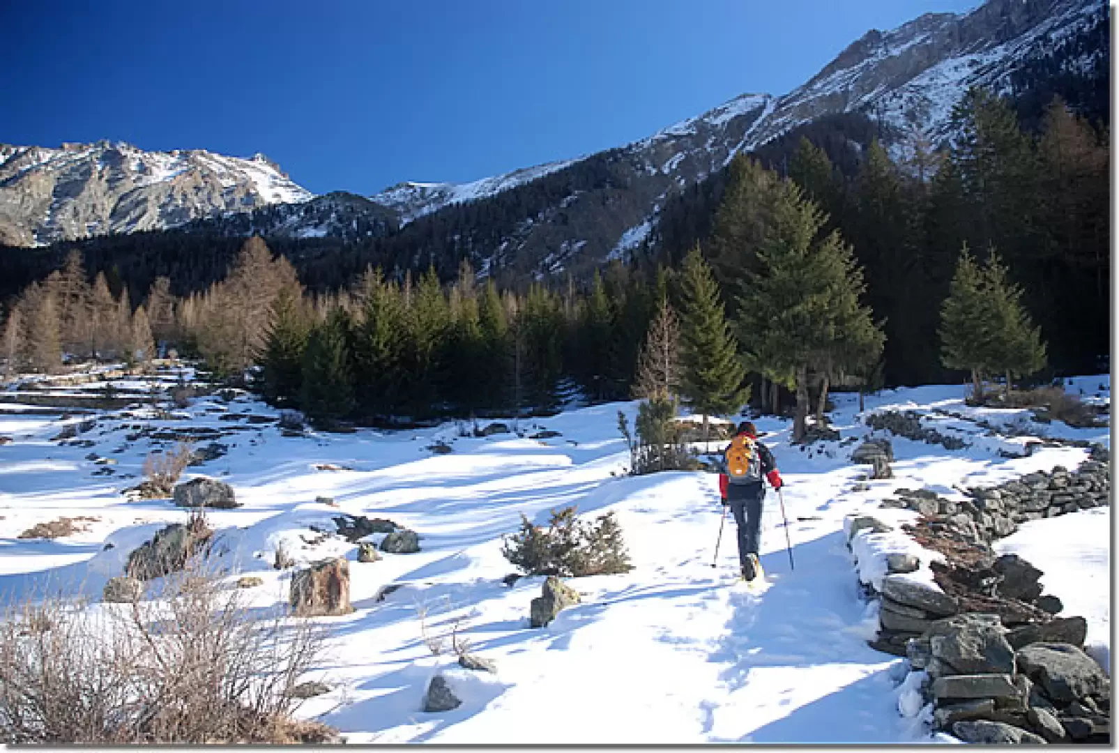
From the car park, we head towards the small bridge crossing the Savara stream, crossing it until we come to the signposts indicating the direction to take. We proceed for a short distance to the left, climbing up a step flanked by a beautiful dry wall that will accompany our walk to the end of the clearing. Take an initial right turn and then turn left, climbing up the clearing for a long, straight stretch as you skirt the Pare pastureland (1688m, 0h10').
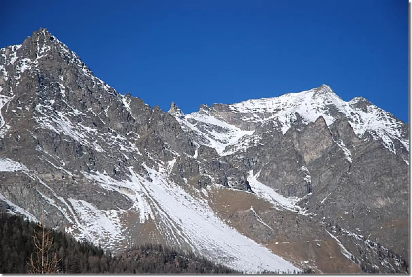
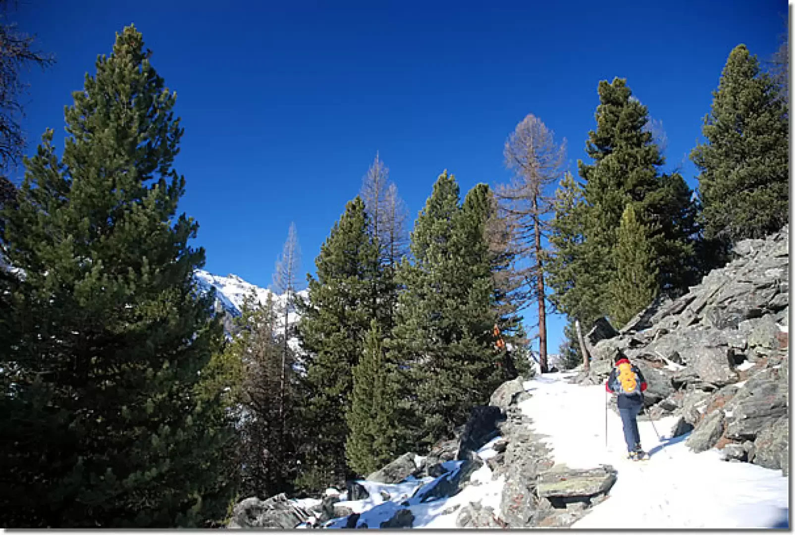
Slowly you enter the predominantly larch woodland and begin to climb, with a series of twists and turns, up the drainage cone of a small valley. In this section, the vegetation is very sparse, making the unloading activity on the slope symptomatic. Along this section of the trail, one can admire the splendid panorama of the Punta Bioula (3414m), a fascinating 'three-thousand metre peak' located in the middle of Valsavarenche.
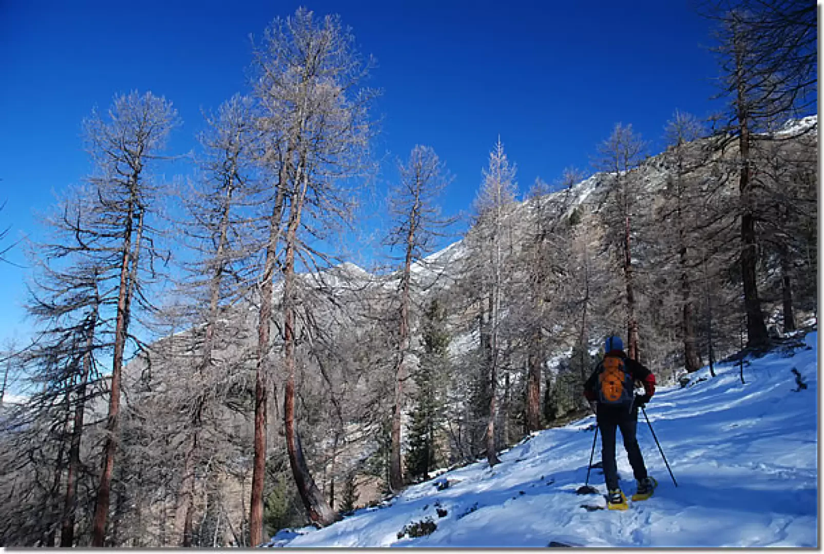
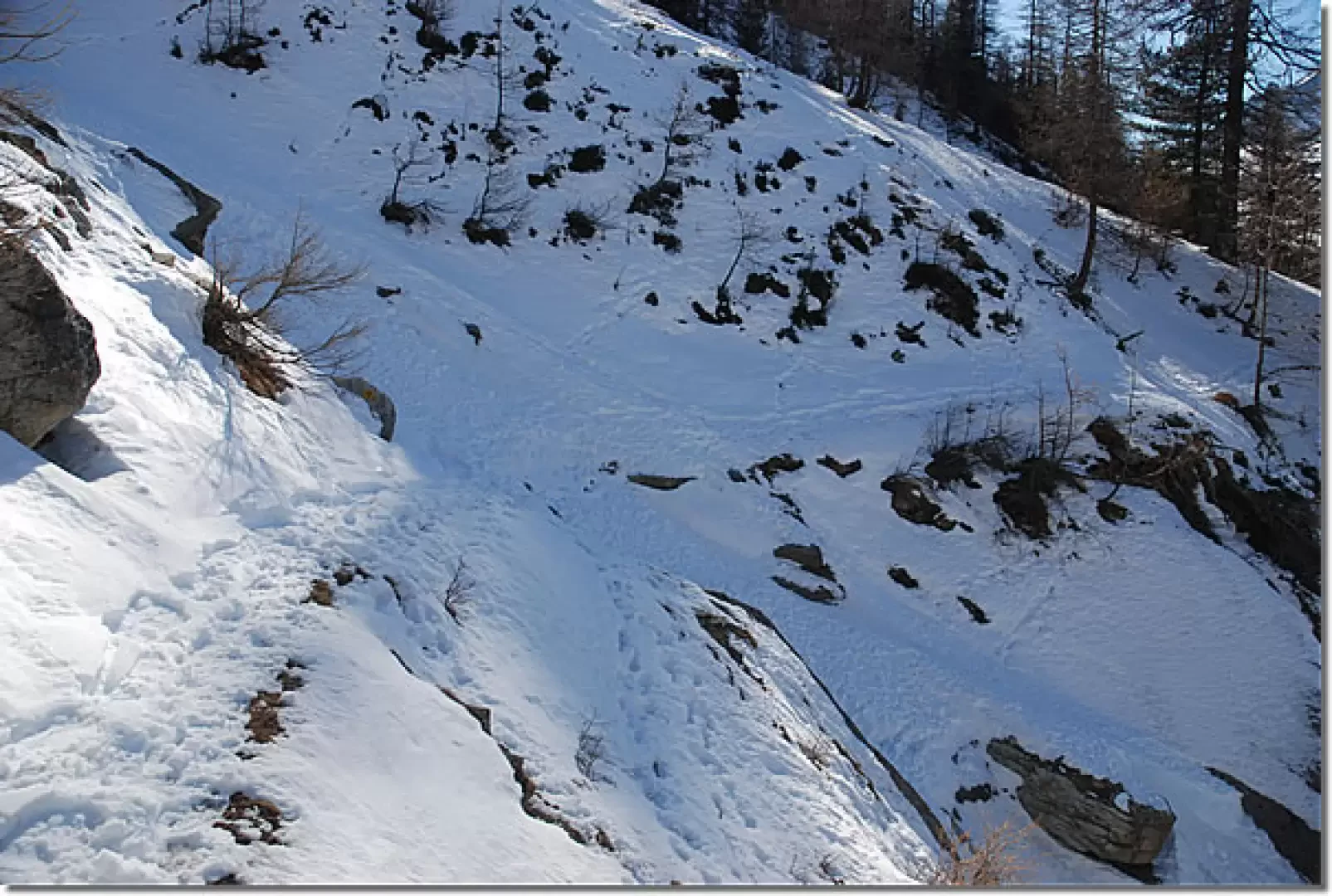
The twists and turns follow one another more and more rapidly until we reach a "ford" on the stream that descends from the gully (1887m, 0h45'): we now continue to the left and begin to walk along a long stretch without too much slope that crosses the forest, which has now become predominantly green: silver fir, spruce and stone pine. At the end of the straight stretch, we start climbing again with many bends that considerably mitigate the slope. As before, the twists and turns become more and more rapid until you reach the impluvium of the Chaud stream (2175 m, 1h45').
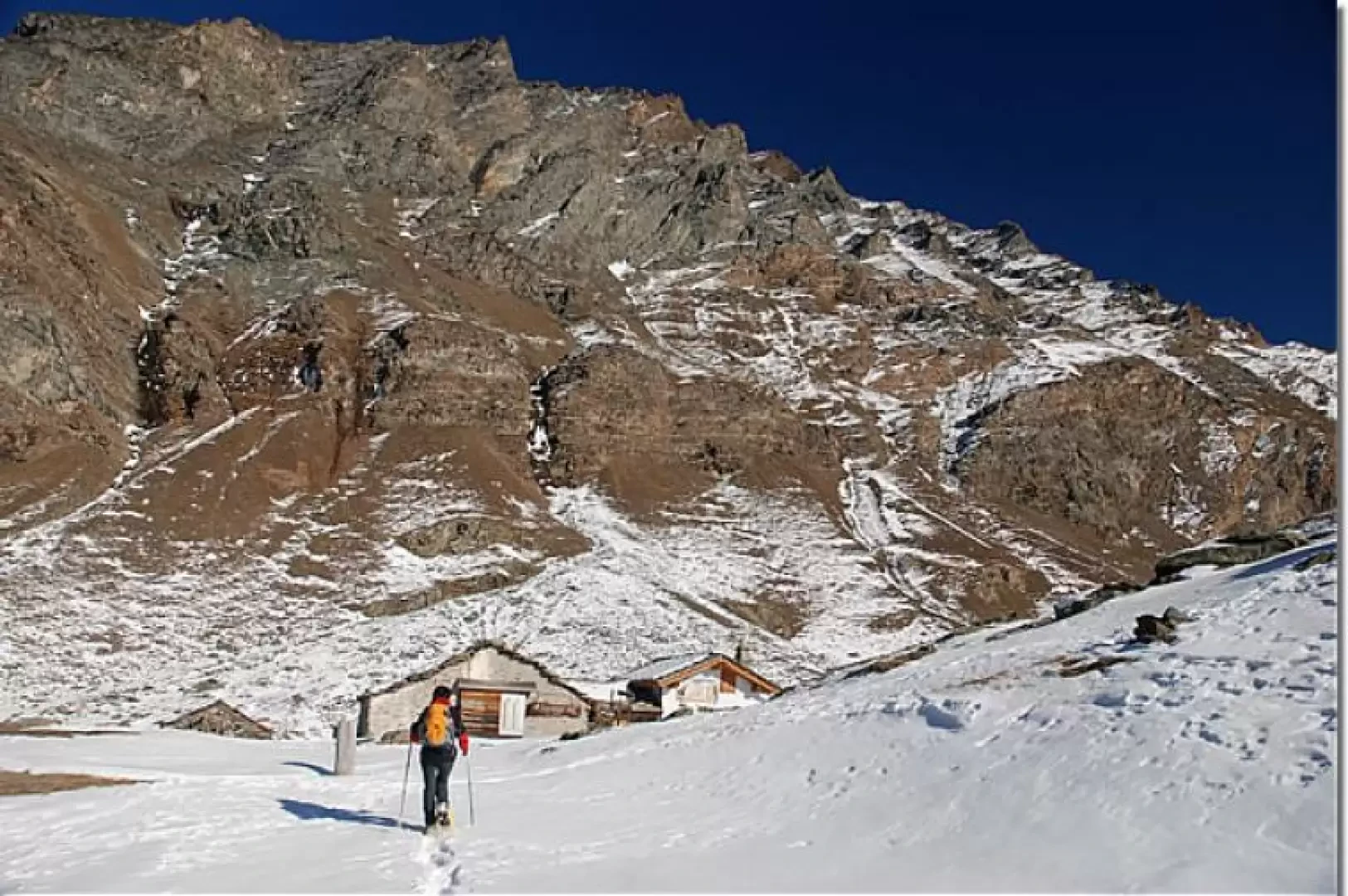
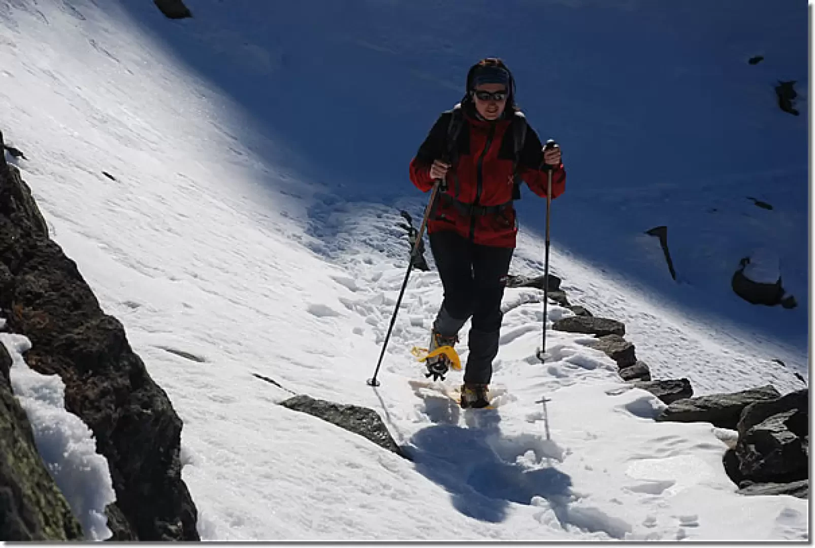
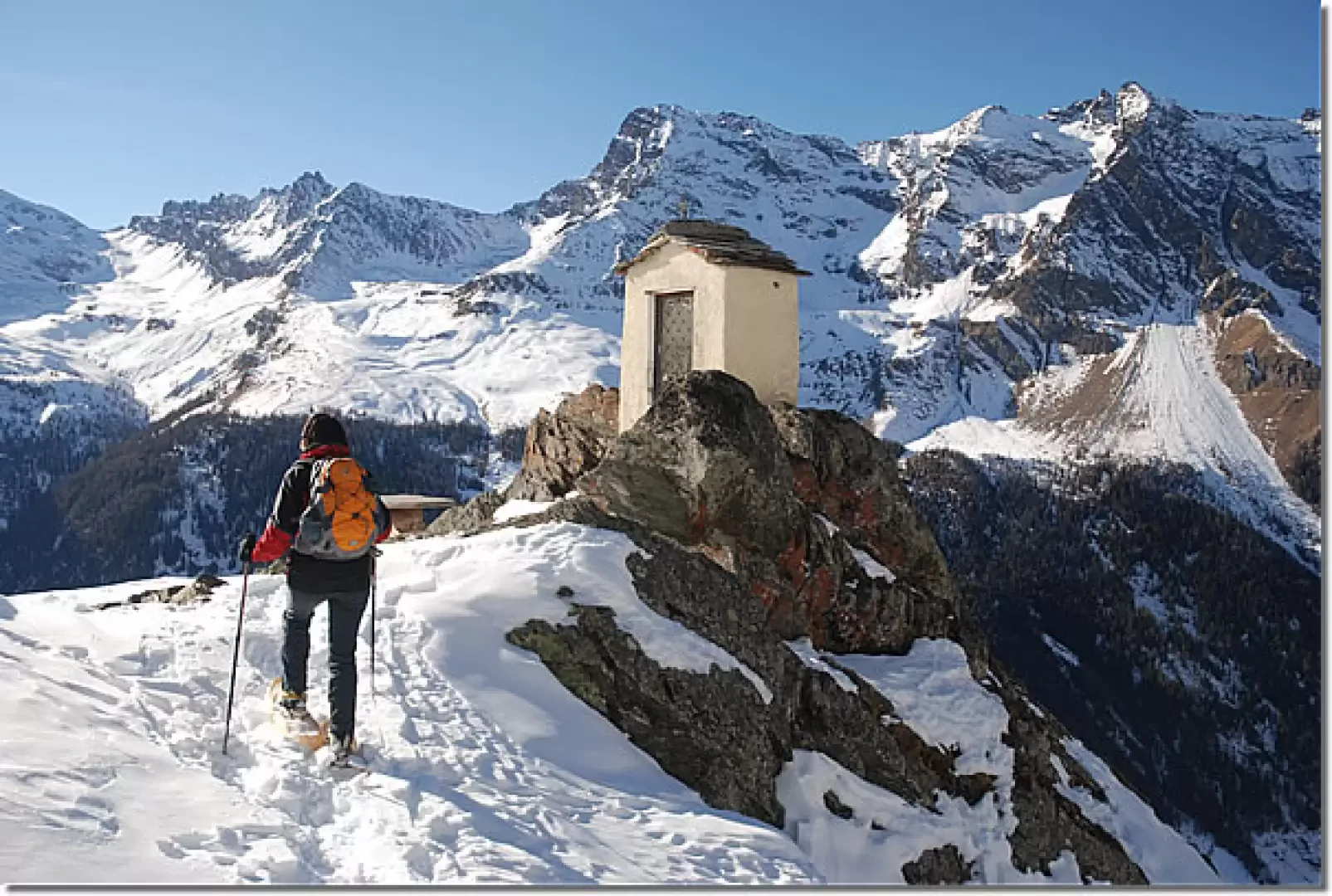
After crossing the snowy stream with a somewhat awkward passage, you cross a small clearing often populated by chamois. The trail continues on a very slight ascent, horizontally cutting across the ridge of the Côte des Chauds: the environment is extremely impressive, as are the views of the valley. We make the long traverse until we join the Levionaz valley: we climb for a short distance along the ever-present royal mule track, now part of the Alta Via 2, until we reach the small oratory that precedes the alpine pastures. The destination is now visible and in a few minutes you will reach Levionaz desot (2303m, 2h45'): in addition to the alpine pastures, there is also the Casotto dei Guardiaparco.
The return is by the same route as the outward journey (1h30').
Galleria fotografica
We have been there
Edited by:
Massimo Martini
Levionaz desot
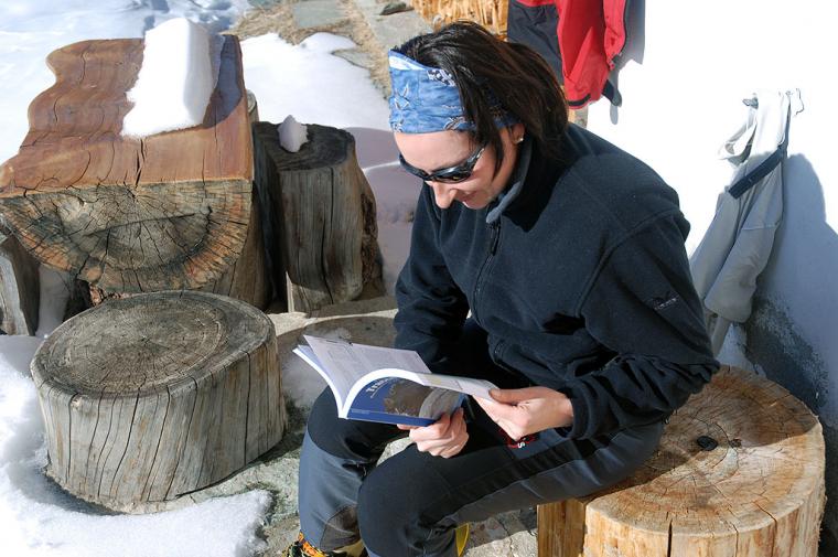
Buone letture al Casotto di Levionaz dèsot. Avvistamenti faunistici: Rupicapra rupicapra