Feldberg
Introduction
The Feldberg is the highest peak in the Black Forest (Schwarzwald). The route proposed here allows you to fully enjoy this particular area in its winter version: not to be missed!
Description
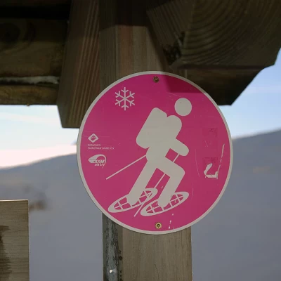
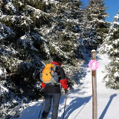
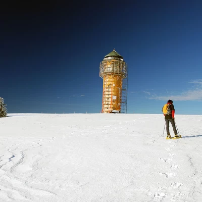
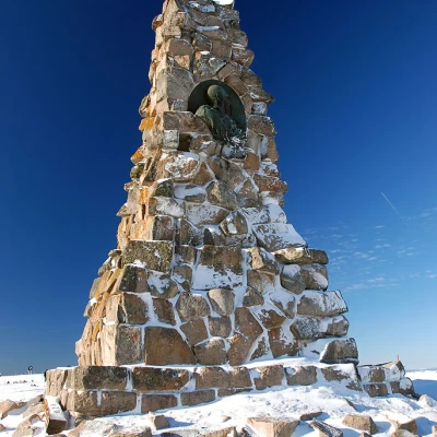
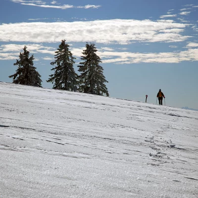
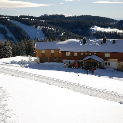
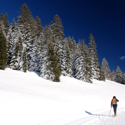
To the left of the Natur Haus near a Nordic Walking information board, take a snow-covered track that proceeds for a short flat section. Following the snowshoe signs, turn right and start climbing up the snowy slope alongside the ski slopes. In the first section, proceed on a moderate ascent, encountering a few sporadic spruce trees (Abies picea) until you cross a ski slope: cross it with due care, and continue the ascent, leaving the Nordic ski slope to the left (which will be followed on the return journey). The ascent becomes slightly steeper until it joins the wide Seebuck ridge: turn left and you reach Seebuck (1448m, 0h45'), a high tower used to enjoy the view of the Black Forest. From Seebuck, head to the right towards the arrival point of the chairlift; go around the chairlift and reach the Bismarck-Denkmal (1452m, 0h50'), a monument dedicated to Otto von Bismarck, the Iron Chancellor.
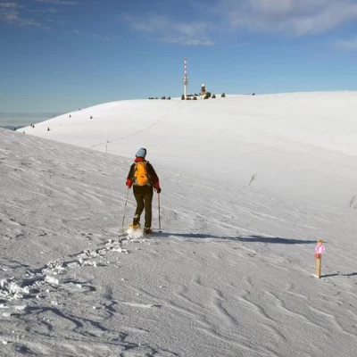
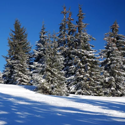
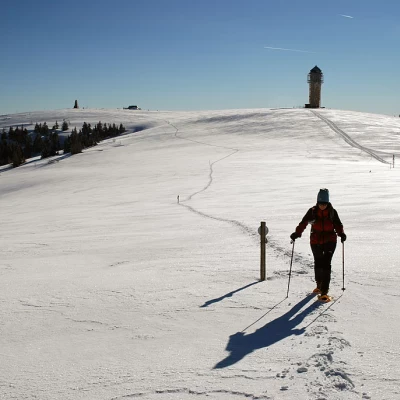
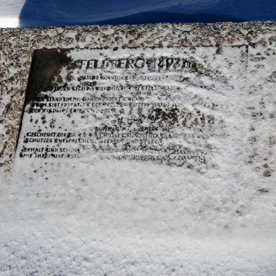
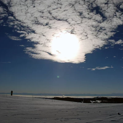
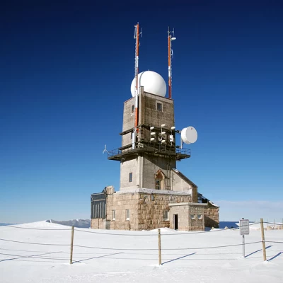
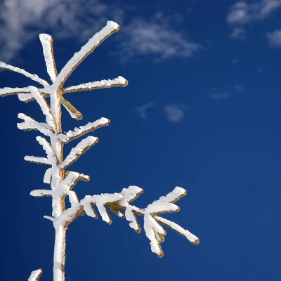
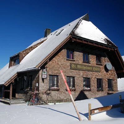
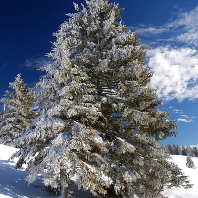
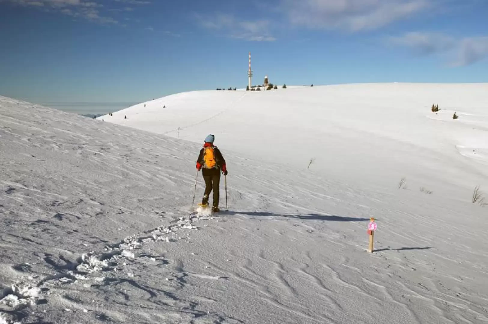
Now continue towards the destination, descending the gentle slope that leads to a wide inlet between the two hills; the scenery is idyllic and soon makes you forget the initial part, which is decidedly more frequented. We follow the poles and start climbing again, with little intensity as we approach our destination. The panorama is sublime and certainly, on a clear day, one can become aware of the Schwarzwald area, of which the Feldberg is the highest peak. The final plateau is reached, where the route from the Baldenwenger Hütte also joins up: turn left and head on level ground towards the repeater and the weather station; just before the latter, the 'summit' of the Feldberg is reached, marked by a stone with a plaque (1493m, 1h 45'). After making use of the signposts to locate the surrounding peaks (in clear conditions, the panorama extends as far as the Bernese Oberland and Mont Blanc!), the descent is made. Head towards the repeater and turn left, beginning a fairly steep descent. In this part of the itinerary, sporadic fir trees covered in ice can be encountered (here it is quite easy to encounter the particular phenomenon known as Galaverna, i.e. when there is a particularly damp, cold and foggy environment that generates a crystalline coating on things). The descent soon leads to the Sankt Wilhelmer Hütte (1384m, 2h00'): here, turn left and walk along a short stretch with a few ups and downs until you sight the next hut: then turn right and descend the snow-covered slope until you reach the Todtnauer Hütte (1325m, 2h15'). As the route draws to a close, proceed from here along the cross-country ski trail, which cuts across the Feldberg ridge on a slight incline. After leaving the track that leads left uphill back to Seebuck, you reach the uphill section: turn right and, after crossing the ski slope, continue downhill to the Natur Haus (3h15'), the starting point of the route.
Riferimenti Bibliografici
Galleria fotografica
We have been there
Feldberg
Ci sono stato!- Consulta le altre gite su questa meta
- Consulta le altre gite di Silvia Deplano
- Consulta le altre gite di Massimo Martini
