Dosso Tachèer, from Tartano

Difficulty
WT2
Length
0.00 Km
Departure altitude
1200 m
Arrival height
2093 m
Positive difference in height
893 m
Round trip time
02h30'
Return time
01h30'
Recommended period
Description
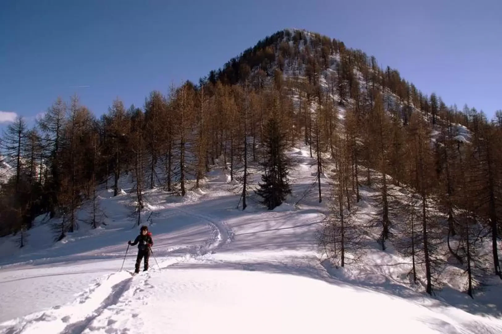
From Tàrtano 1200m, cross the little square and continue along the Val Lunga carriage track; passing above the contrada Valle ("Cuntrada Val") 1231m, you reach the contrada Rondelli ("Cuntrada Rundèi") 1276m: a few dozen metres downstream from the huts, cross the bridge over the gorge of the "Tàrten de Val Lunga" stream. From here, you begin to climb the wooded slope (fir trees) along a very steep mule track with narrow hairpin bends: at times the snow that has fallen in quantity from the fir trees and crunched to the ground could create some difficulty in progression. The profile of the track is always clearly visible even with heavy snow, and a few paint markings on the trunks help with the direction. After about an hour, we come to the vast Gavèt clearing: the entire slope above is a beautiful slope scattered with huts, casere and baitelli; with long traverses (everyone can choose the most suitable slope), we pass by the "Baita di Travèers" 1545m, already in sight of the "Casera Gàvet" 1724m. The slope increases a little in gradient and converges towards a sparse larch forest, just where a gentle slope leads to the right in view of the sunny ridge of Dosso Tachèer 2093m.
Descent along the outward route: those who steer their snowshoes very well can throw themselves down in a straight line to the entrance to the initial forest.
We have been there
Dosso Tachèer
Report della gita
Informazioni generali
Condizioni via o sentiero:
Pericolo Oggettivo:
Tratti esposti:
Rischio valanghe:
Affollamento:
Condizioni meteo
Cielo:
Temperatura:
Condizioni neve:
Condizioni ghiacciaio:
Avvistamenti
Fauna:
Flora:
