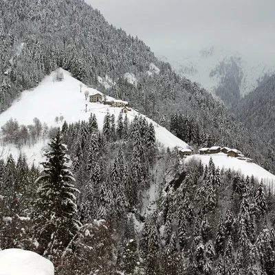
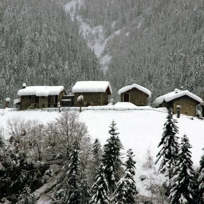
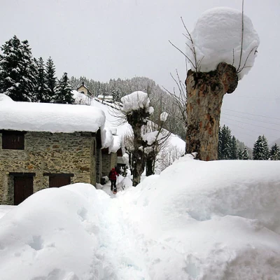
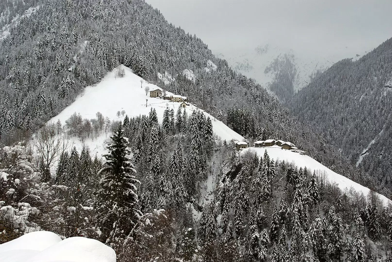
Dosso Chierico, from Albaredo
Access
From Milan to Morbegno along State roads 36 and 38; reach the town centre and, from Piazza San Antonio - opposite the hospital - take the 'Transorobica' provincial road and follow it to Albaredo. Depending on snow conditions, it may be possible to continue in the direction of the San Marco Pass for a few hundred metres. Parking is available in the open spaces along the road.
Introduction
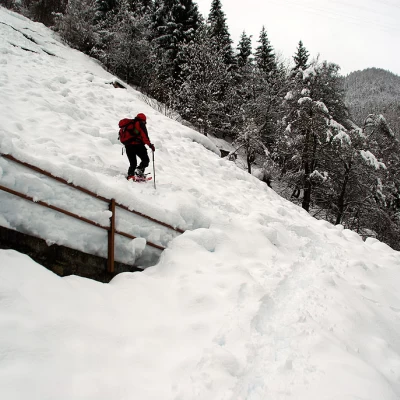
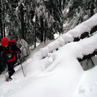
A hike that is very subject to snow conditions; the relatively low altitude often means wet snow that, on the valley slopes, tends to slide spontaneously with slab avalanches down to grass level: the areas at risk begin immediately outside the town. In dry years, it is possible to continue by car to the Madonna delle Grazie car park, on the border of the Parco delle Orobie Valtellinesi. The apparent height difference would be very modest, were it not for the descent to cross the Valle di Lago stream and the relative ascent (same for the return). The route follows the ancient route of the Via Priula (from Alvise Priuli, the doge who promoted the opening of the passage between the Grisons and the Republic of Venice through the San Marco Pass) in the midst of spruce forests (avèzz), from one alpine pasture to the next, in an area much frequented by black grouse, chamois and black woodpeckers.
Description
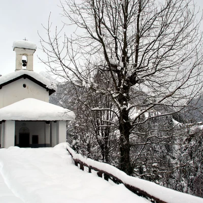
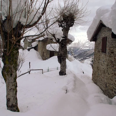
Follow the provincial road (without being tempted to 'off-piste' in the event of heavy snowfall) as far as the crossroads signposted 'Via Priula'; pass between some restored huts and then, on a slight descent, reach the small churchyard of the Madonna delle Grazie church, which an engraving on the portal stone dates back to 1724. The track continues downhill below the Riva huts, which anticipate a series of narrow hairpin bends to the bottom of the little valley. A first bridge is crossed and then, on terrain that is finally safe from avalanches, the trail enters the dark fir forest; shortly after the ruins of a water-powered sawmill (Park information board), it crosses a second bridge over the gorge of the Valle di Lago stream. From here the ascent begins again halfway up the hillside into the wood; a board illustrating the activity of the coal miners is placed alongside (just downstream, covered in snow, a poiat can be glimpsed and, just beyond a hairpin bend, a casèl del lacc. A last hairpin bend leads to the ridge occupied by the Dosso Chierico huts.
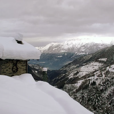
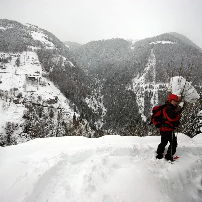
A fairly wide panorama over the Bitto Valley of Albaredo, Bema and a sector of the Bassa Valtellina. Return along the outward route.
External links
General information
Trail:
Signposts: red/white/red and N. 110
Typology of route: circular
Recommended period: December, January, February, March
Objective hazard:
Exposure to sunlight: north
Exposed sections: slab avalanches in the first half of the route
