Dortoir Baravex, from La Ville

Edited by:
Giancarlo Beretta
Updated at: 14/07/2025
Access
Leaving the motorway at the Aosta Est exit, continue along the - road to Gran San Bernardo. You pass the village of Gignod and shortly afterwards meet the road on the right, which leads to Allein. After descending towards the Artanavaz stream, the road climbs up to the main town of Allein and, after a few hairpin bends, finally reaches the village of Villa (1,405m, 7km from the ): here you can park in the car park in front of the Lo Ratelé farmhouse.
[0h26'] - [21.1km]
How to get there with GMaps
How to get there with Apple Maps
These indications are based on direct verification at the time of the survey of the route so the information should be checked before starting the hike. We recommend using a GPS navigator or map app on your smartphone to get up-to-date and detailed directions.
Introduction
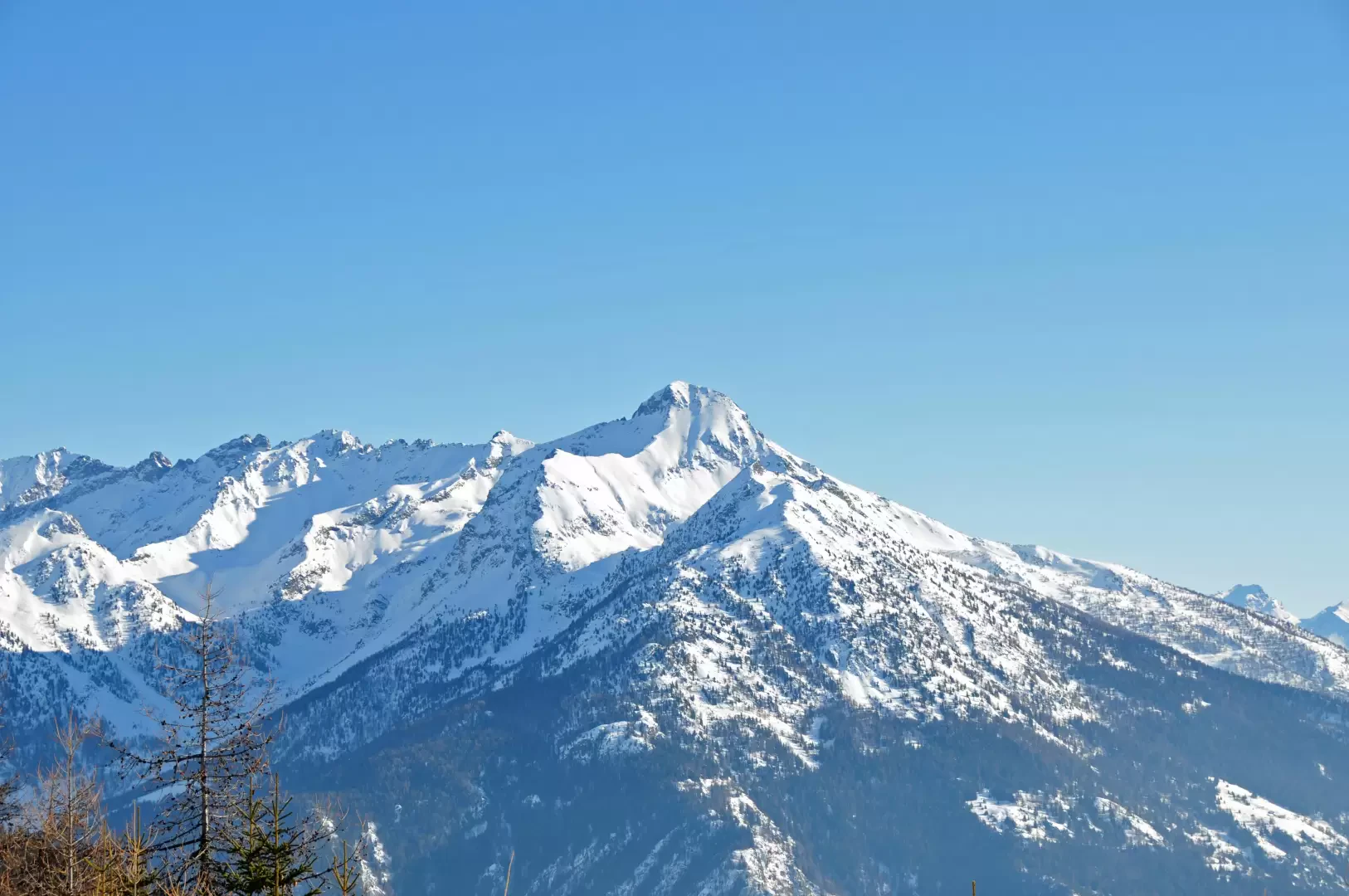
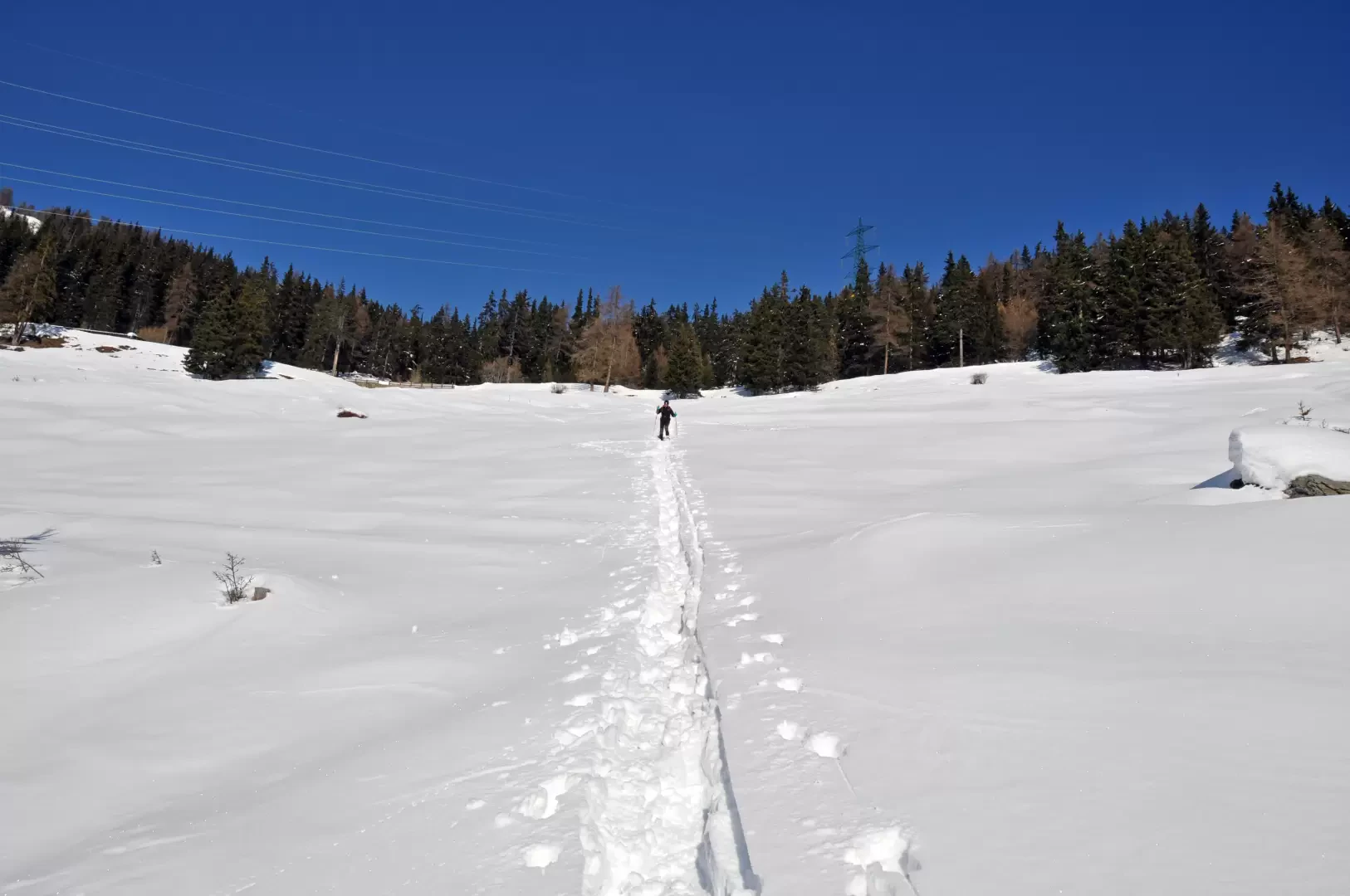
This tour leads up the sunny snowy slopes dotted with numerous alpine pastures above Allein. The magnificent views of the lower valley and the smaller valleys branching off from the central Great St Bernard valley are as far as the eye can see. The itinerary proposed here tries to alternate, both on the outward and return journeys, the relaxing progression along the numerous paths with steeper "off-piste" routes which, precisely because they are steep, can be freely walked, assessing the snow conditions and the tracks present at the time.
.Description
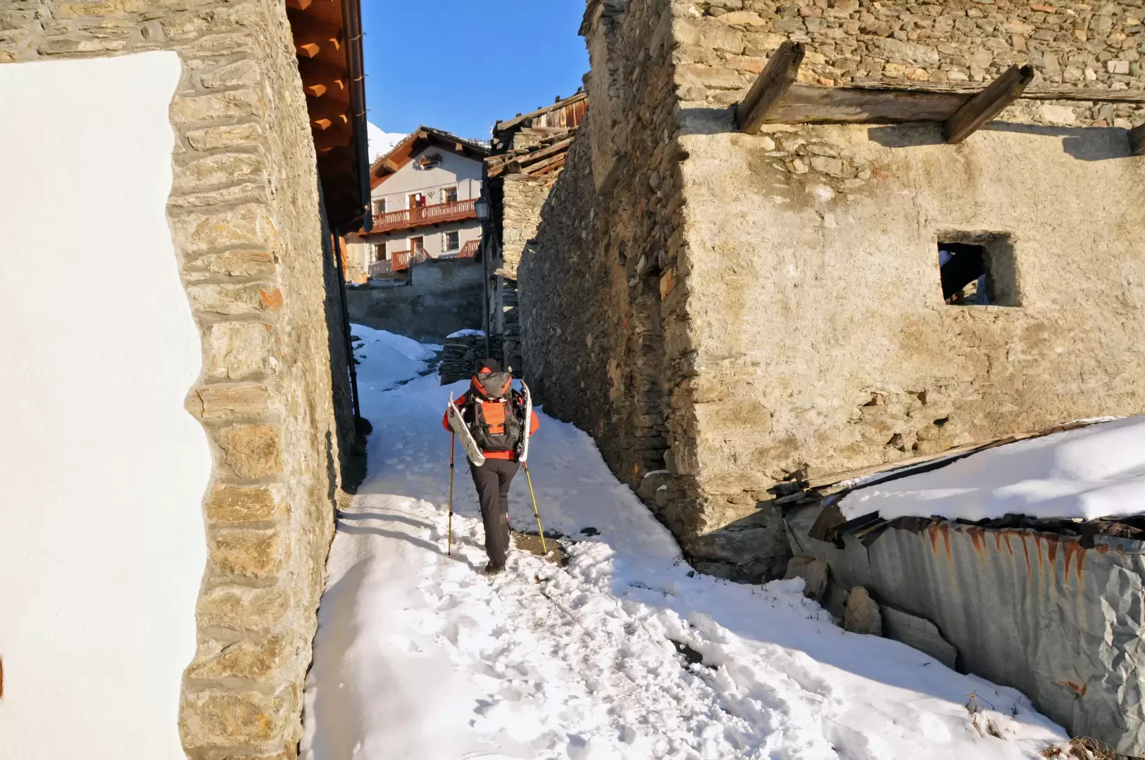
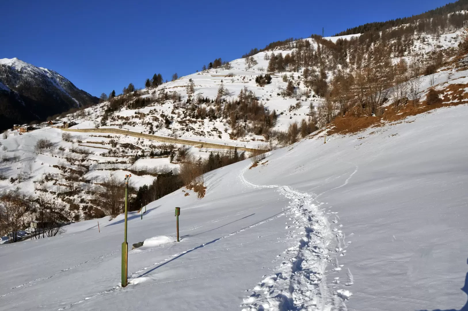
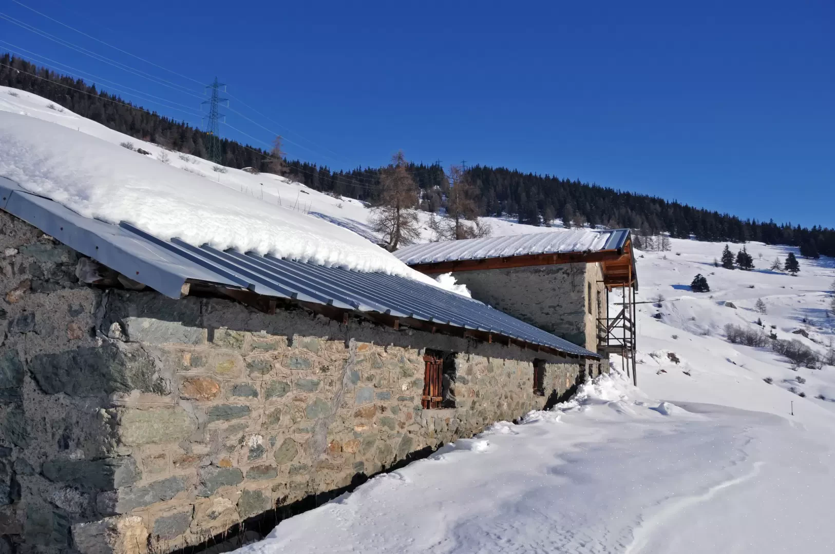
From the centre of the small village 💧, between two old houses, a small road rises up, which, turning right after a few metres, comes out immediately onto the snow-covered pastures and reaches the tarmac road that passes just above it. Having crossed the road, one crosses the sunny, snow-covered slopes halfway up the hillside, keeping to the left, and reaches the track of a path that continues, still halfway up the hillside, beside a drystone wall. We reach a farmstead that we cross and, after continuing for a short distance on the road with the retaining wall that departs from the crossroads at an altitude of about 1575m, continue uphill along the track of the path bordered by a fence until you come to the Berruard hut (1708m).
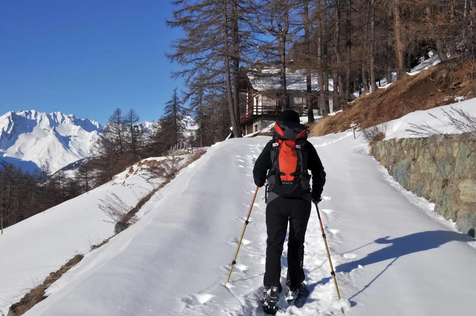
Turn right and walk almost flat halfway up the panoramic farm track that, after a long traverse, reaches the Comba pastureland (1689m).
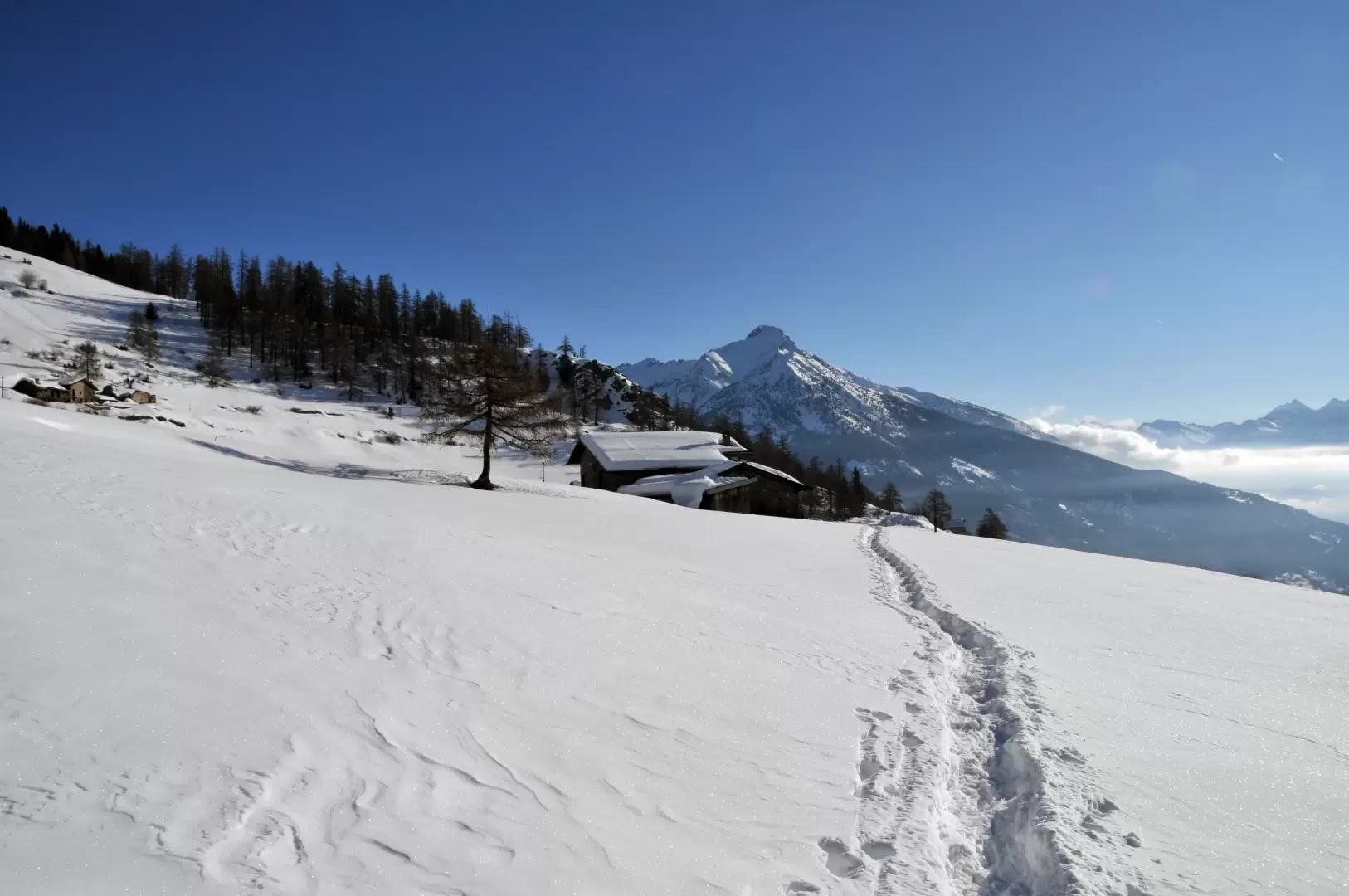
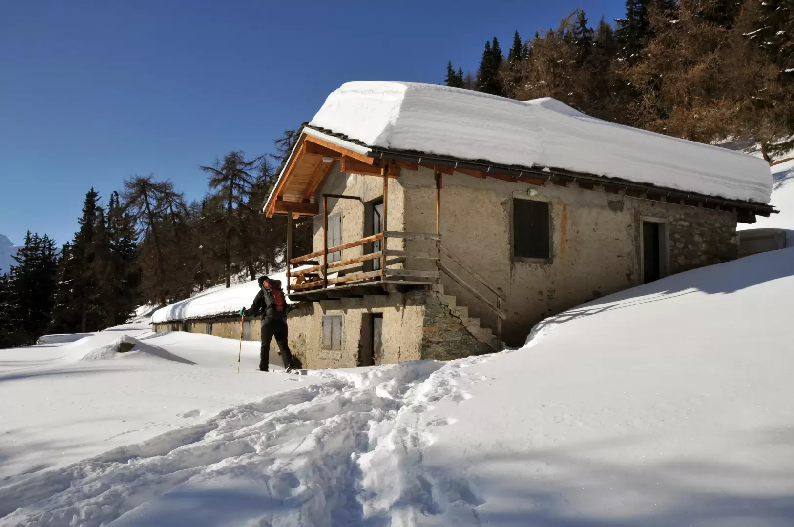
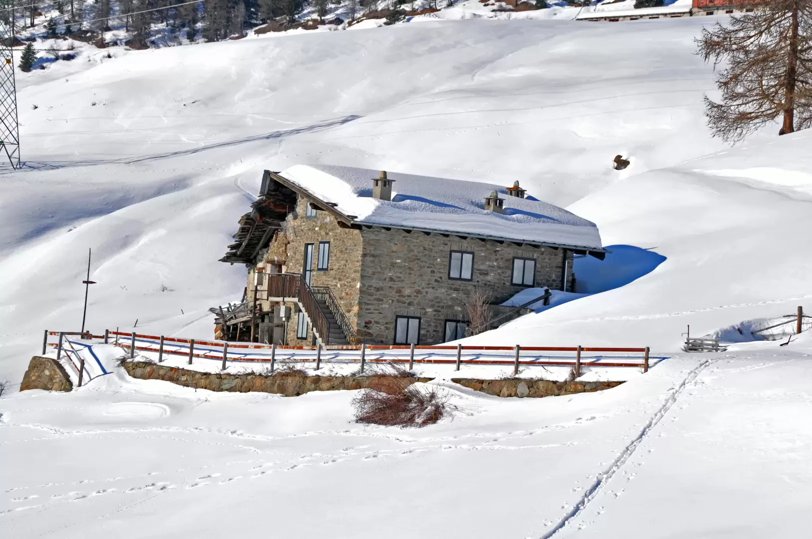
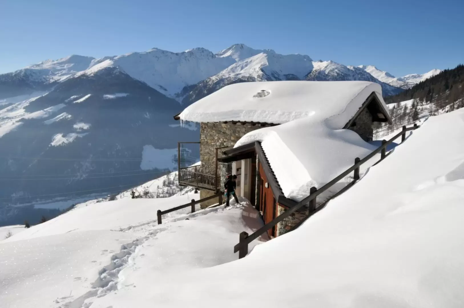
From behind the alpine pasture, go up the slopes towards the north without following an obligatory route but aiming for the alpine pasture of Baravex desot (1783m) above and, without following the farm track but still aiming north and looking for the less steep passages, go up the snowy bumps to reach the evident hut of Orgières (1892m). From here, it is a short walk to the nearby Dortoir Baravex (1925m); you then pass above the adjacent Baravex damon pastureland to walk along a comfortable track that heads westwards on a level course through a beautiful wood. Pass a crossroads signposted by a marker and a subsequent junction with another track that branches off to the right (approx. 2020m) and soon arrive at Parc (2020m), which is reached by keeping to the right at the next fork.
For the return journey, reach Baravex damon and from here you can descend directly or zigzag, passing by Baravex di metien and, after walking for a short distance on the track, reach Baravex desot again. From here, with no obligatory route, once you reach Comba you head over a hut just below to the right and, still freely, you reach the alpine pasture of Bramian below (1590m) and heading right for a short distance on the farm track you return to the crossroads at an altitude of 1575m and from here onwards you retrace your route.
Punti di interesse
- La Ville
- Orgière
- Baravex dessus
- Dortoir Baravex
Collections
Galleria fotografica