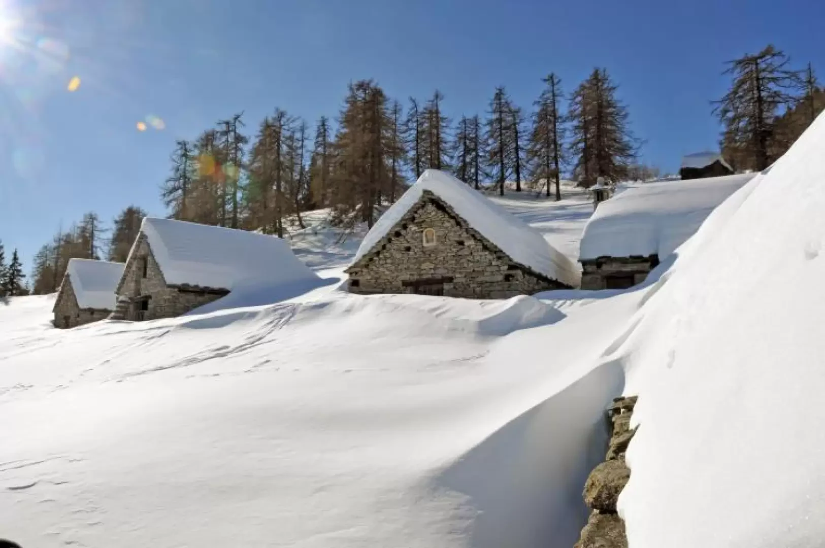
Deccia

Introduction
When it has just snowed or the avalanche bulletin advises against high-altitude hikes, the alpine pastures of the mid-valleys are a viable alternative, sometimes also in terms of altitude differences, to the wide open spaces of the high mountains. This hike is suitable precisely for these situations, offering picture-postcard scenery near the alpine pastures and, once at the destination, enchanting views. This route is usually very popular due to the ease of the route, despite its length, and precisely because of the safety of the area it crosses.
Description
From the road, a track starts that at its beginning has the signposts of the path
and also a wooden post indicating our destination. We climb gently for a few hairpin bends in the beech and conifer woods and reach the Reita huts (1067m); continuing along the path, we pass a signpost and, still climbing with a not excessive gradient, we arrive at the beautiful plateau where the Lonsc alp (1130m) is situated and just above it we find the Aulusc alp (1075m). We continue without any danger of taking a wrong path and arrive at the beautiful Paù huts, which we pass, leaving the fork for Compolo on the right, signposted on wooden poles, and arriving at another fork, also well signposted, that tells us to keep to the right. After a few more comfortable hairpin bends, we pass a signpost with the deviation for Prepiana alta (1419m), where we continue straight ahead along the well-marked road, arriving shortly at the huts of Deccia inferiore (1610m) situated below the gullies that descend from Corno Cistella. From here, looking a little further up on the left, the panoramic huts that make up the upper Deccia alpine pasture are clearly visible and can be reached after a short, slightly steeper climb.
On the return journey, descend to the wooden post at an altitude of 1419m. indicating the direction to Prepiana alta (1489m) where, turning right, you walk on a path that with some ups and downs contours the buttress of Corno Cistella and in a little more than ten minutes you arrive at the alpe Prepiana alta-Viscardi (1503m) from where you can enjoy a beautiful panorama of the initial part of the Formazza valley. Continue in the direction of the bottom of the valley to reach Prepiana inferiore (1520m) where, after passing the first mountain huts, you turn left and after a traverse halfway up the hillside in the woods you rejoin the main road near Aulusc and from here, following the route back to the car.