Crown Troggi
Access
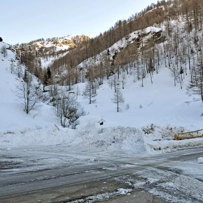
Follow the A26 to its end at Gravellona Toce and, without exiting the motorway, continue in the direction of Domodossola. Continue on and exit at the junction indicating Val Formazza and Valle Antigorio and, having passed the municipality of Crodo, you arrive at Baceno where, in the middle of the built-up area at a hairpin bend, you will find the turning for Alpe Devero on the left. Go past the hamlets of Croveo and Goglio and then, after crossing a bridge on the right, climb up a few hairpin bends, pass through a first tunnel, and before entering the second, leave your car in the convenient open spaces near the entrance.
Introduction
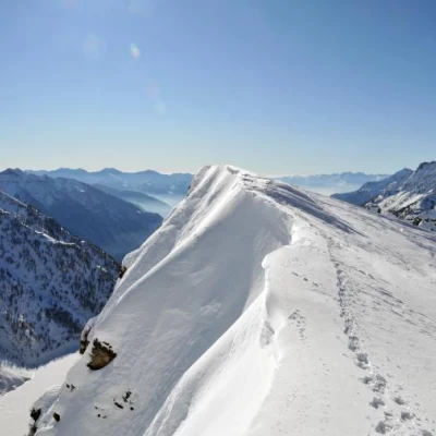
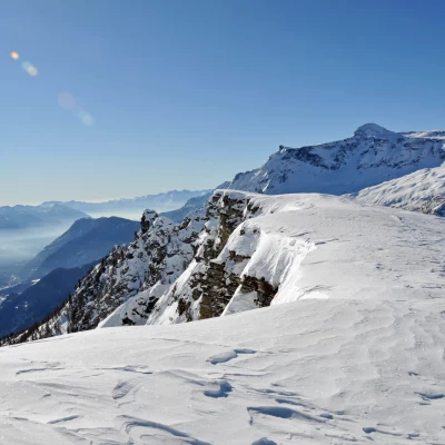
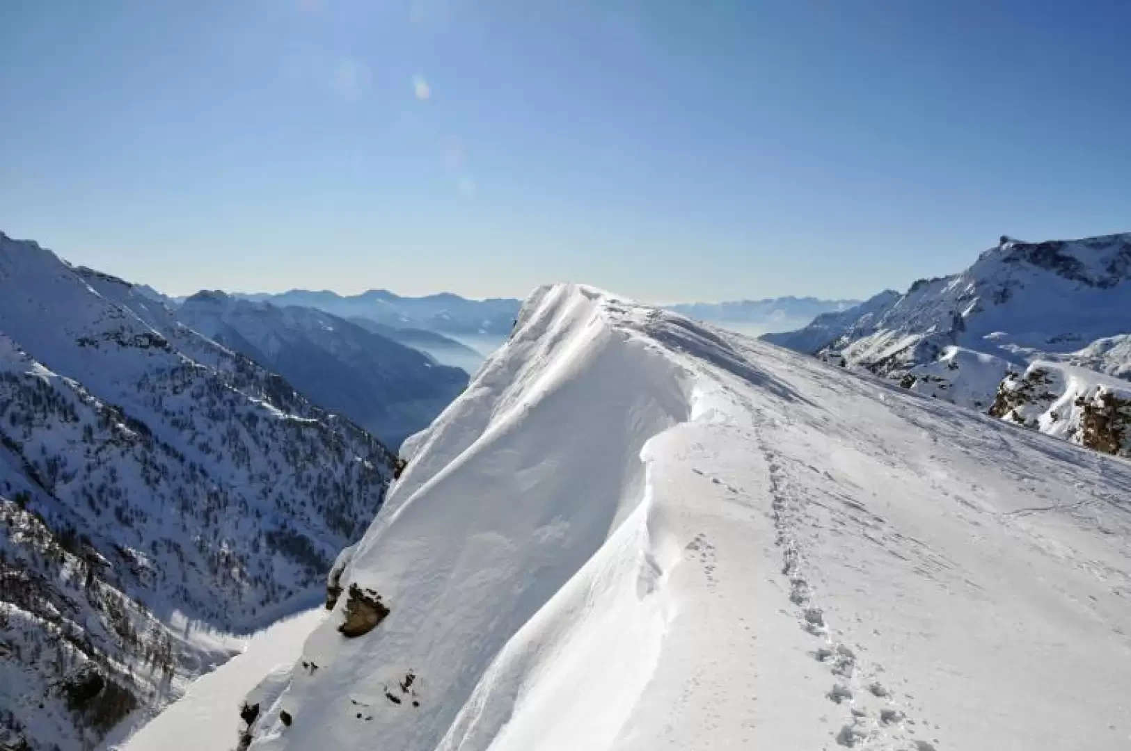
A very scenic hike that should preferably be done on a clear day. There are a couple of sections that are a little steep, but once you exit above Alpe Fontane, you can walk comfortably in the open spaces leading to the summit. Evaluate on site how close you can get to the summit, as it is on a ridge with many frames. The hike is fairly busy and therefore usually well marked. From the summit, the 360° panorama is extraordinary, as is the impressive precipice that plunges down to Lake Agaro below.
.Description
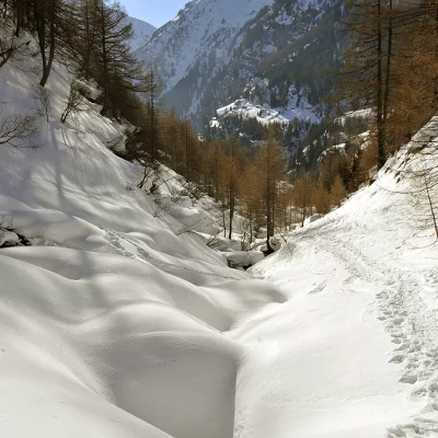
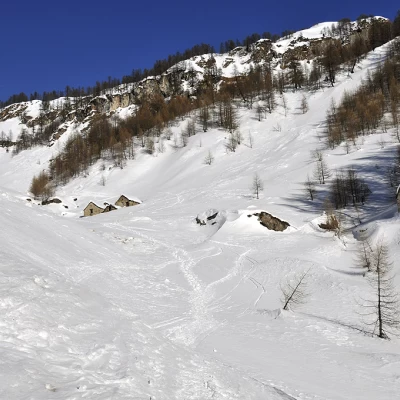
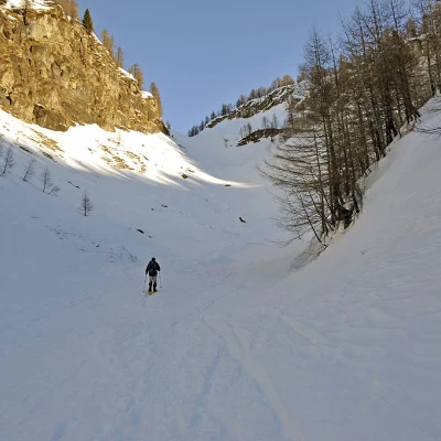
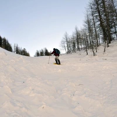
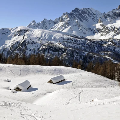
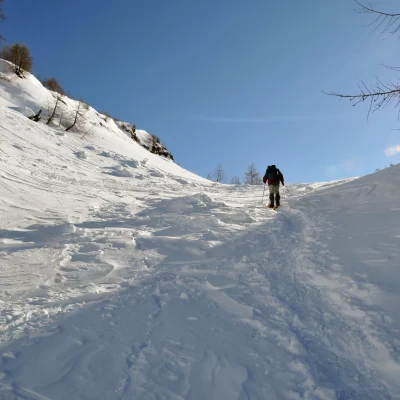
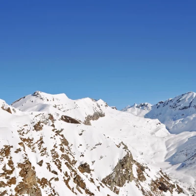
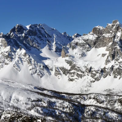
From the parking area, cross the road and head towards a narrow valley that climbs up towards the east in a sparse forest, at first remaining on the orographic right of the stream that descends from it and then crossing to the other side and passing under a promontory where there are two wooden huts. You gain height between the snowy bumps and after a few zig-zags, you come in sight of a group of huts at an altitude of around 1680m. Pass these on the left and continue to climb, after a traverse, entering a fairly wide valley where, before reaching the gully that descends in front of you, you turn right to climb a slightly steep gully that you can clearly see in the sparse woodland and which you pass with a few bends. This gully comes out on the upper plateau where Alpe Fontane is situated in a panoramic position towards the Devero basin and the peaks framing it. We then keep to the left of the constructions to enter a wide gully which, from a modest slope at the beginning, becomes steeper at its end and arrives in increasingly open spaces where we can already see our destination on the horizon. Passing between the many snowy bumps and overcoming them at the steepest points, we reach the summit. It consists of a series of peaks that soar in large frames southwards above the long Agaro Lake with precipices and gullies of considerable height difference. From the summit, it is possible to traverse the wide ridge towards the south-west with a few ups and downs, being careful of the cornices towards the south. From here, the distant peaks in Swiss territory of the Weissmeiss and the Fletschorn can be seen to the north, and gradually closer those of Monte Leone, Cervandone and Crampiolo. To the east, on the continuation of the ridge, the Sangiatto can be seen close up and further on the Corbernas; while from the overhang below we can see Lake Agaro and further down to the west the high Ossola valley.
General Information
Path:
Signposts: H10 (where visible up to Alpe Fontane)
Type of route: a/r
Recommended period: December, January, February, March
Objective Hazards:frames on the summit ridge
Sun exposure: north-west
Exposed sections: overhanging summit to the south
