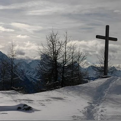
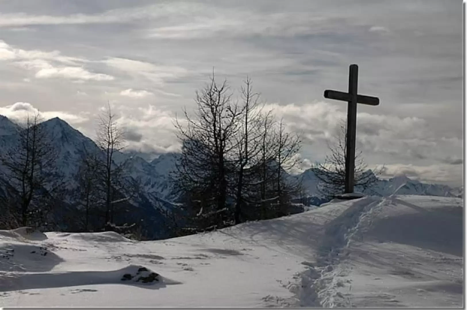
Cross of Fana, from Fonteil
Introduction
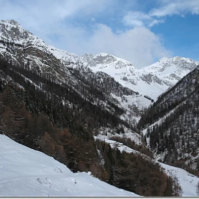
The Croce di Fana is a minor point in the presence of more imposing bastions that surround the Aosta basin, but it is not to be considered as uninteresting: wild environments, suggestive views and, above all, a beautiful feeling of wilderness that pervades the hiker during the ascent.
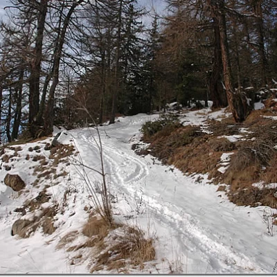
The route is relatively simple in the presence of a trail, but it can become a little complicated to find the route in virgin conditions.
Description
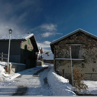
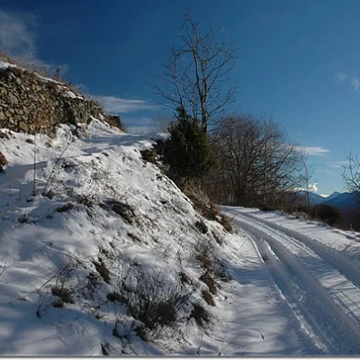
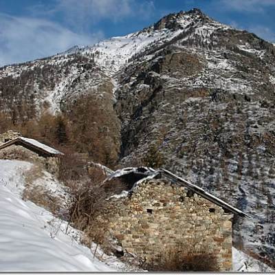
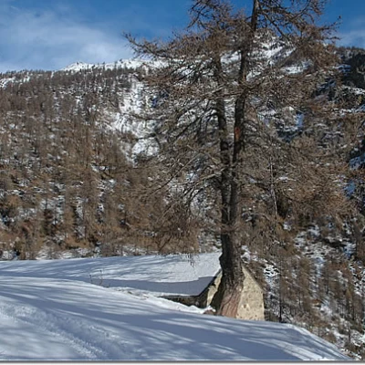
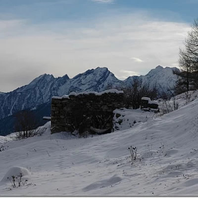
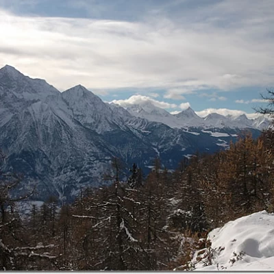
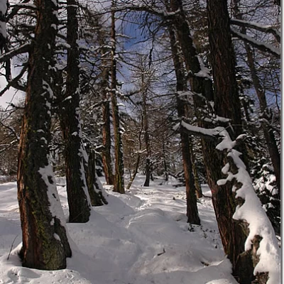
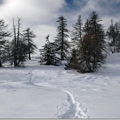
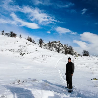
Leaving the car behind, head towards the village of Fonteil following the small road that passes through the houses. You come to a fountain, for possible refilling of water, and quickly leave the village, immediately encountering a signpost: here you can take a small path to the left, which is quite evident and allows you to cut across a section of the farm road. Follow it halfway up the hillside, passing above the road, entering a wooded thicket and rejoining the road at a hairpin bend (1504m, 0h10'). Take the little road again, sometimes beaten, going uphill to the right; proceed through a beautiful wood of predominantly spruce trees (Abies picea) into the initial section of the Comba Dèche. The ascent in this section is rather gentle, and some cottages are reached fairly quickly in front of the Becca d'Aveille (1640m, 0h50'). Once past the cottages, continue along the snow-covered track until you come to another solitary mountain pasture at a hairpin bend: this is Cré alpine pasture (1,661m, 1h00'). Disregard the track, which continues straight ahead, and turn left, starting an ascent with a greater incline, which after a couple of long hairpin bends comes into view at Brunier (1761m, 1h15'): do not take the path to the cottages as you turn left and now continue into the forest. You ignore a fork to the right and finally reach Flemagne (1785m, 1h30'). You pass the ruins as the splendid view of the mountains of the central valley begins to open up, and then re-enter the forest as the track turns slowly to the right until you reach a clearing where the track seems to end (1815m, 1h45'): here, take a track to the right that leads into the forest. The path from now on may not be very evident, especially in the absence of the track; continue until you reach a small clearing at an altitude of about 1900m, from here you must follow a small morainic hump inside the forest. As you gain height, leave the ridge and turn slowly to the left until you reach a first panoramic viewpoint with a privileged view of the Mont Emilius , after this brief moment of clearing, re-enter the forest following a long traverse to the right, at the end of which you turn left and resume the ascent through the thick fir forest. Slowly the wood slopes down and, now proceeding in the direction of the summit, the slope also begins to slope down until reaching a pleasant clearing: by now the goal is near, just one more short uphill stretch and we finally reach the Croce di Fana (2212m, 2h45').
From the summit the panorama over the basin of Aosta is splendid, as is the aerial view of the regional capital.
The descent follows the same route as the ascent (1h45').
Riferimenti Bibliografici
- Tracce Lievi - Martini Massimo - Martini Multimedia Editore, Saint-Vincent, 2007
Galleria fotografica
We have been there
Croce di Fana
Report della gita
Informazioni generali
Condizioni via o sentiero:
Pericolo Oggettivo:
Tratti esposti:
Rischio valanghe:
Affollamento:
Condizioni meteo
Cielo:
Temperatura:
Condizioni neve:
Condizioni ghiacciaio:
Avvistamenti
Fauna:
Flora:
