Tsa Comba, from Chez les Chenaux

Edited by:
Benedetto Lorusso
Updated at: 10/09/2024
Access
You take the Turin-Aosta motorway, exiting at the Aosta East barrier and continuing in the direction of the Gran San Bernardo tunnel; as soon as you exit the second tunnel, turn right towards Valpelline. Continue for a few kilometres to Bionaz, where, just before the village, turn left towards the Places de Moulin dam; after a few hundred metres, take the turning for Chez les Chenaux (paline) and park just before the village.
.Introduction
The term 'tsa' refers to the highest hut on an alpine pasture. The term 'tsan' with the meaning of 'champ, camp' is also used in Switzerland (e.g. Nernetzan, camp of the Fates, near Berolle in the Jura).Description
From the village, follow the forest road (signposted Crete Seche hut) to a fork in the road before a small hut.
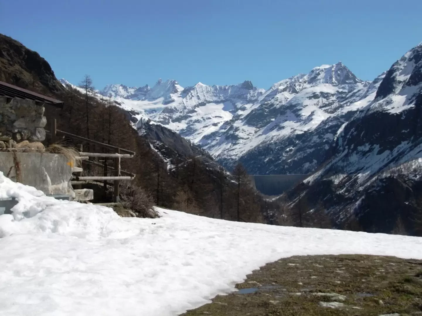
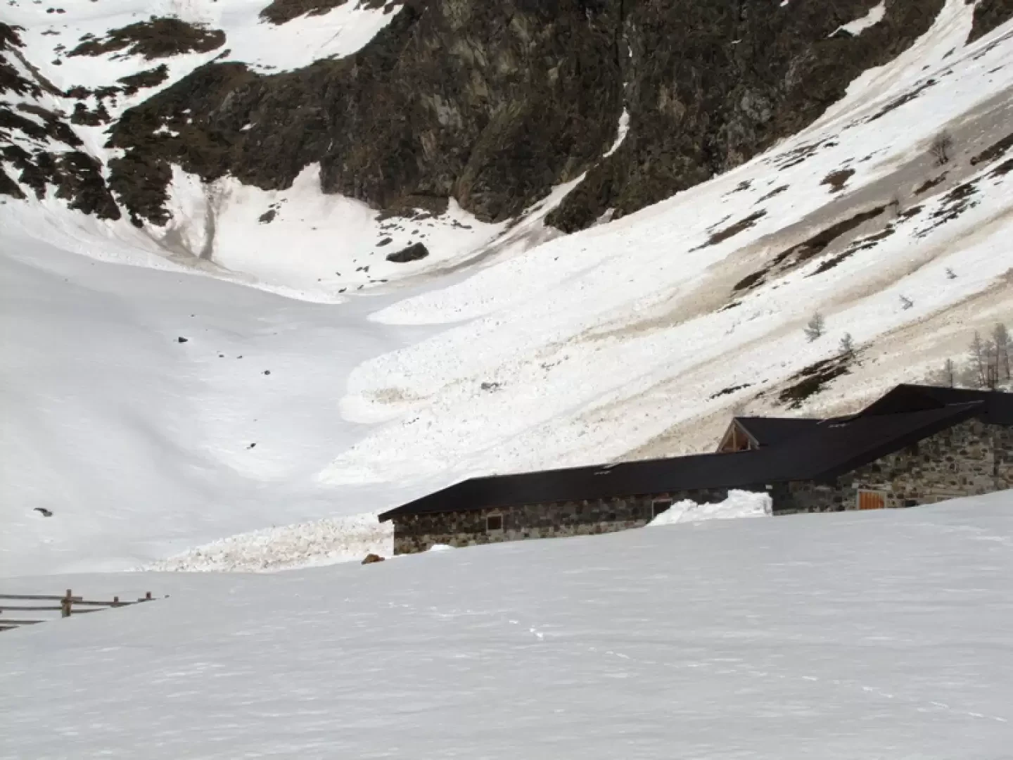
Take a right (left on the way to the hut) to reach the Chalon alpine pasture (beautiful view of the Place Moulin dam).
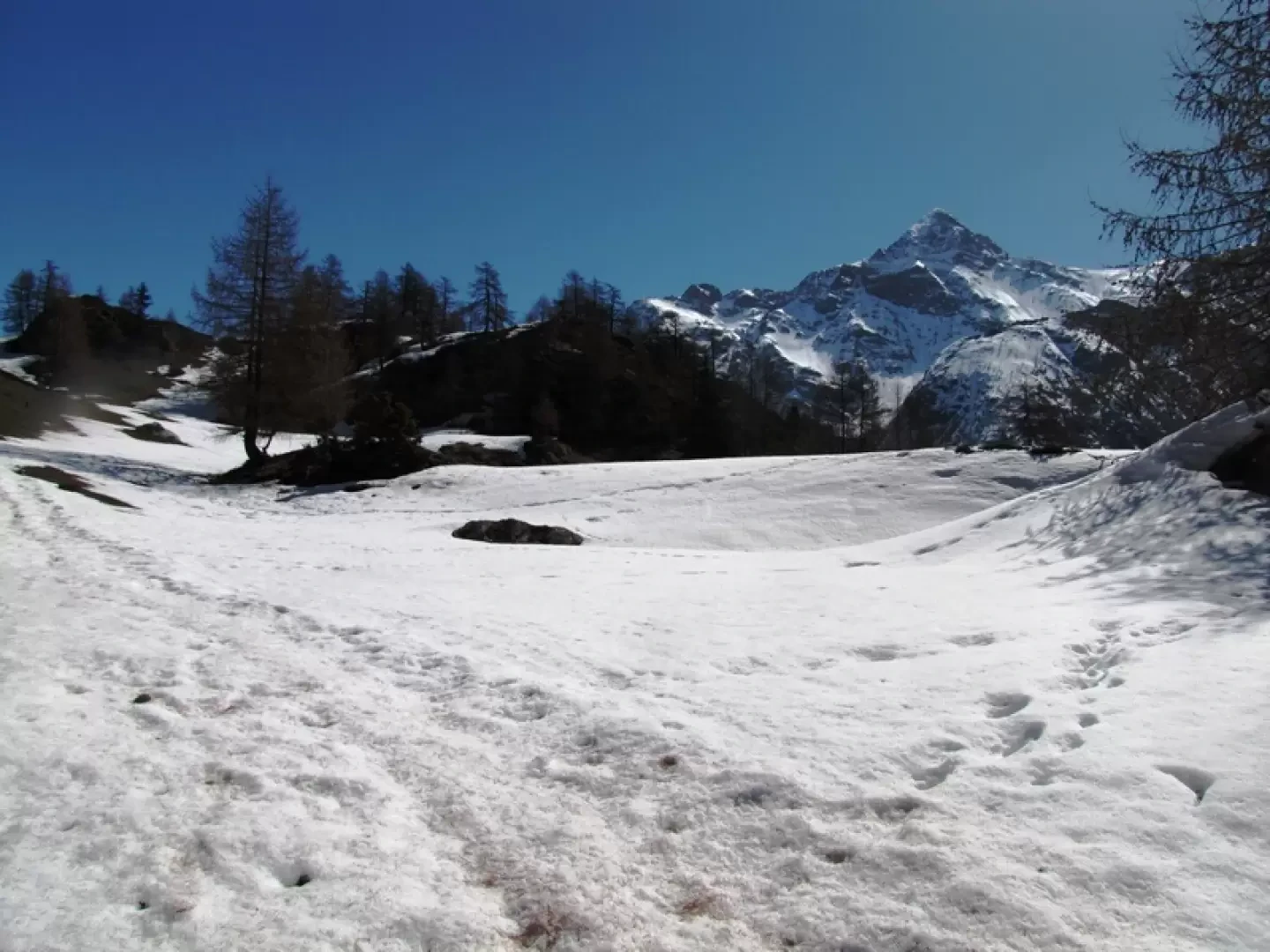
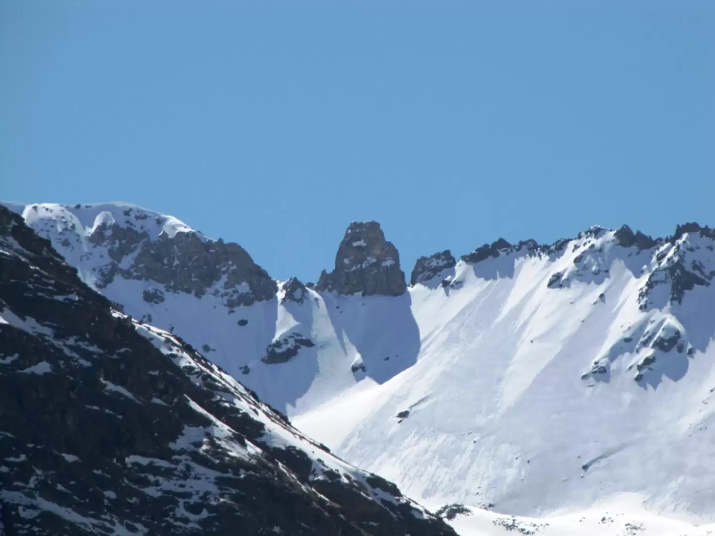
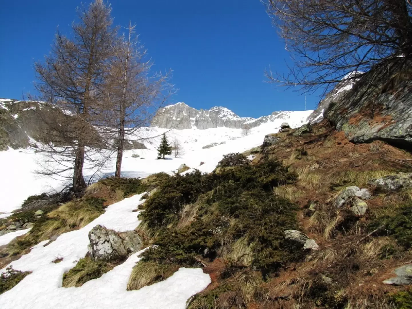
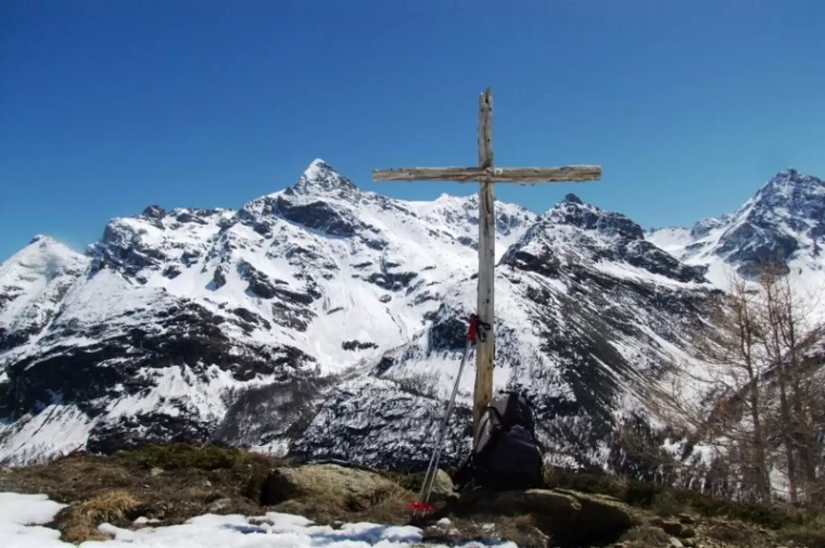
You ascend through the forest behind the alpine pasture until you arrive in a landscape dominated by the becca di Luseney, with a view of the Chentre bivouac, at the mouth of the comba from where appears an imposing the Tour de la Tsa.
A wooden cross appears on the right-hand side, towards which you head.
Galleria fotografica