Becca de Pré d'Ament


Edited by:
Giancarlo Beretta
Updated at: 06/10/2024
Introduction
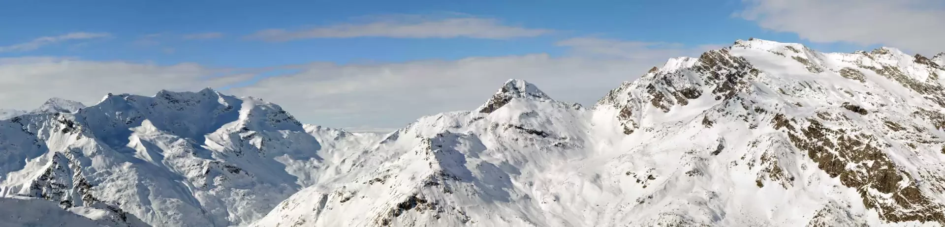
The 'Cigar' is a classic ski mountaineering tour that is also well suited for snowshoeing, passing through beautiful alpine pastures and numerous undulations in the upper part of the route, where wide open spaces and a crown of high peaks dominate. The ascent is long and tiring, never with a continuous gradient but interrupted by numerous small depressions and plateaus that are found between the bumps that must be overcome. It is usually well traced and frequented but care must be taken in case of fog or poor visibility when travelling along the upper part where the lay of the land, large spaces with many bumps, can cause orientation problems.
Description
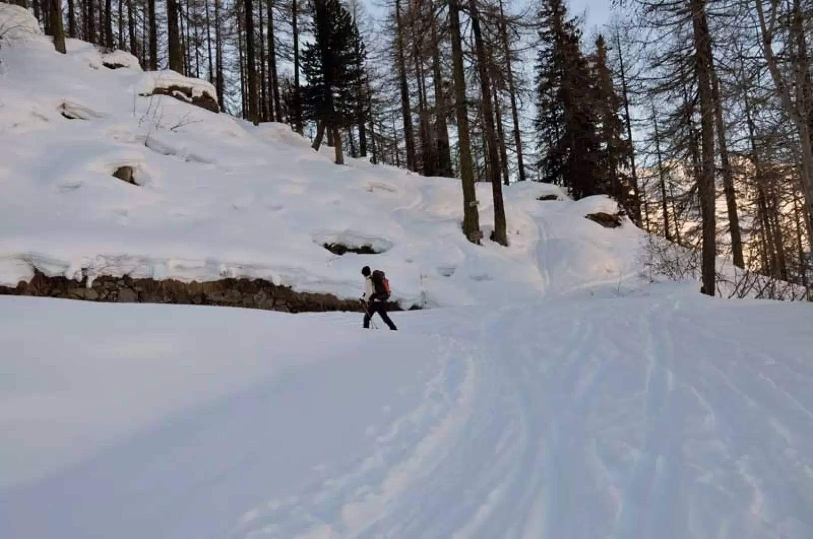
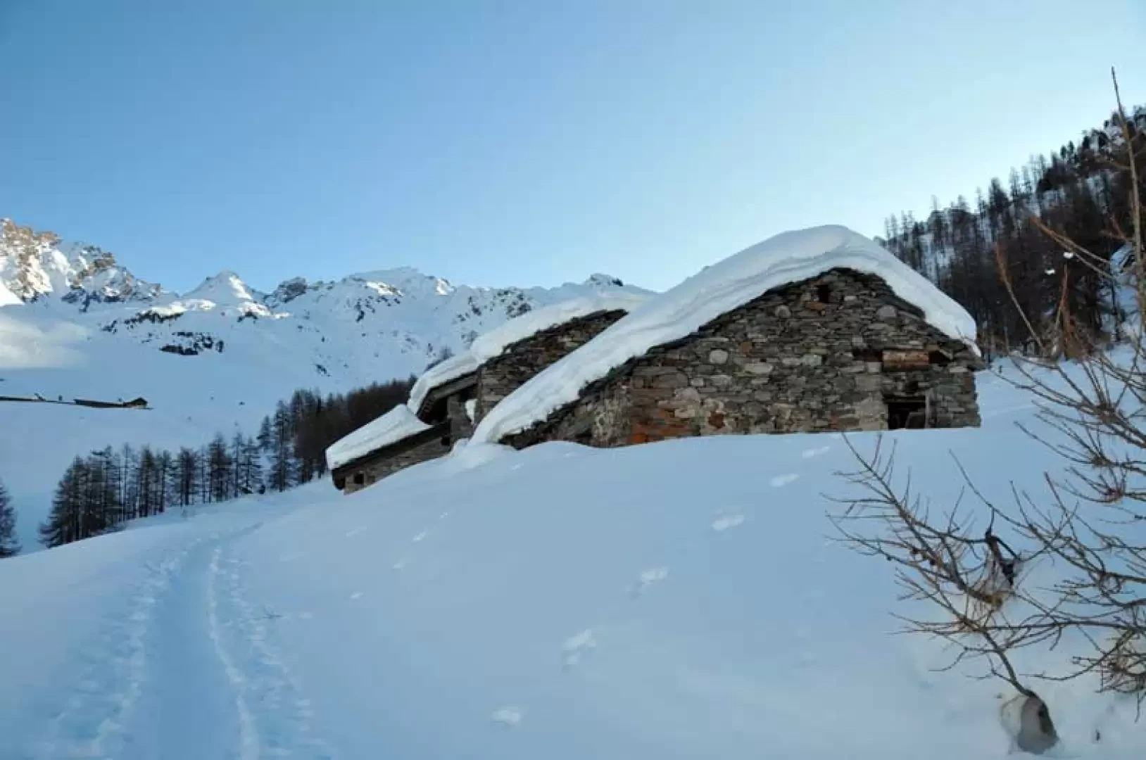
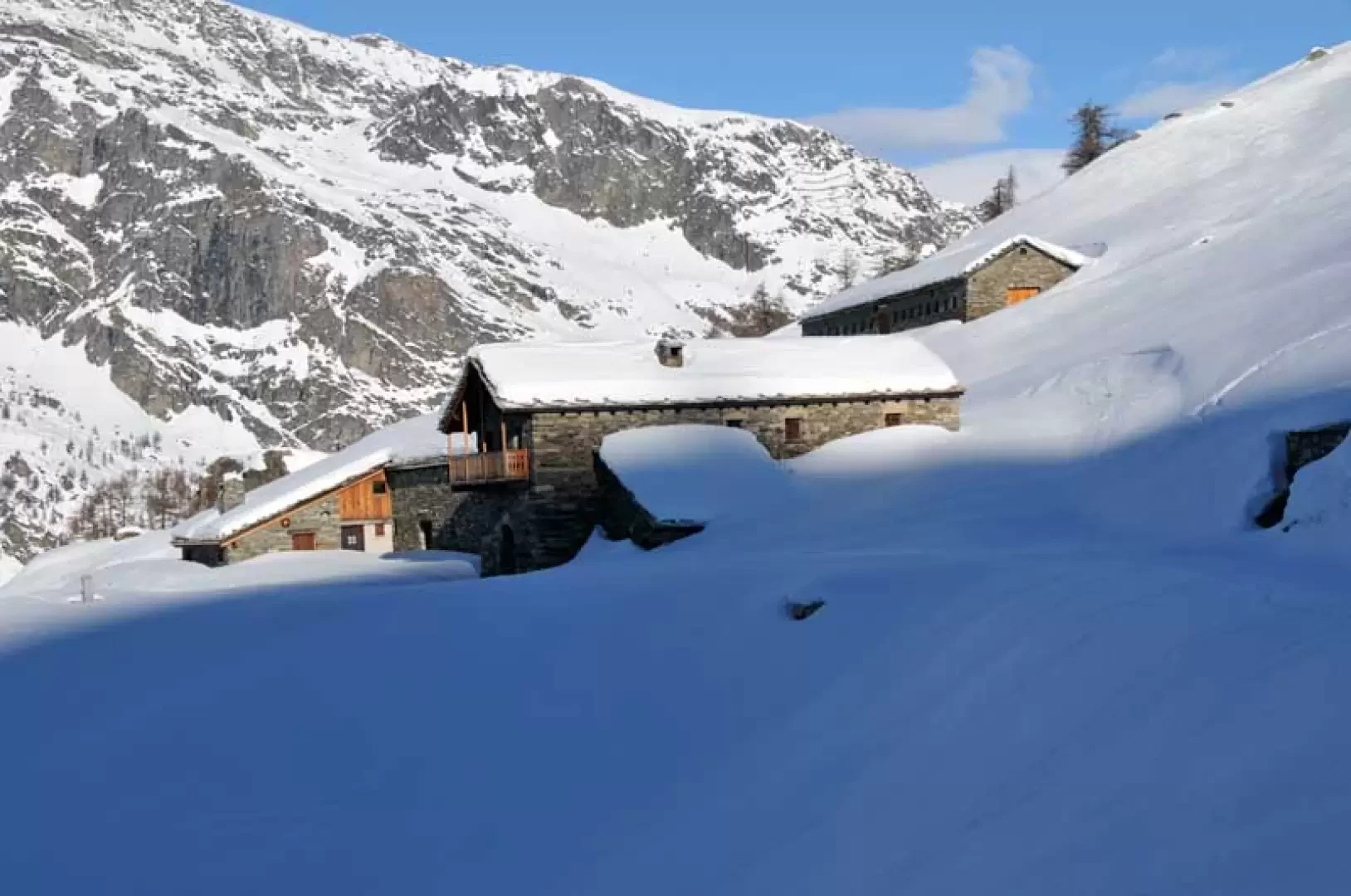
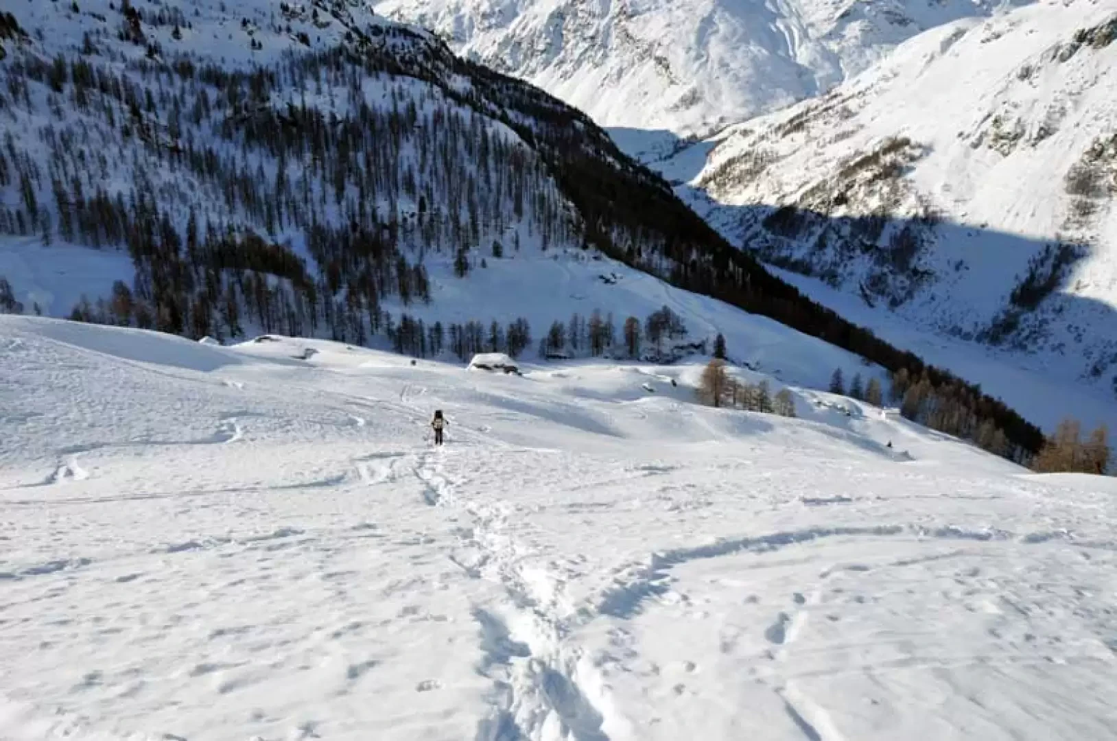
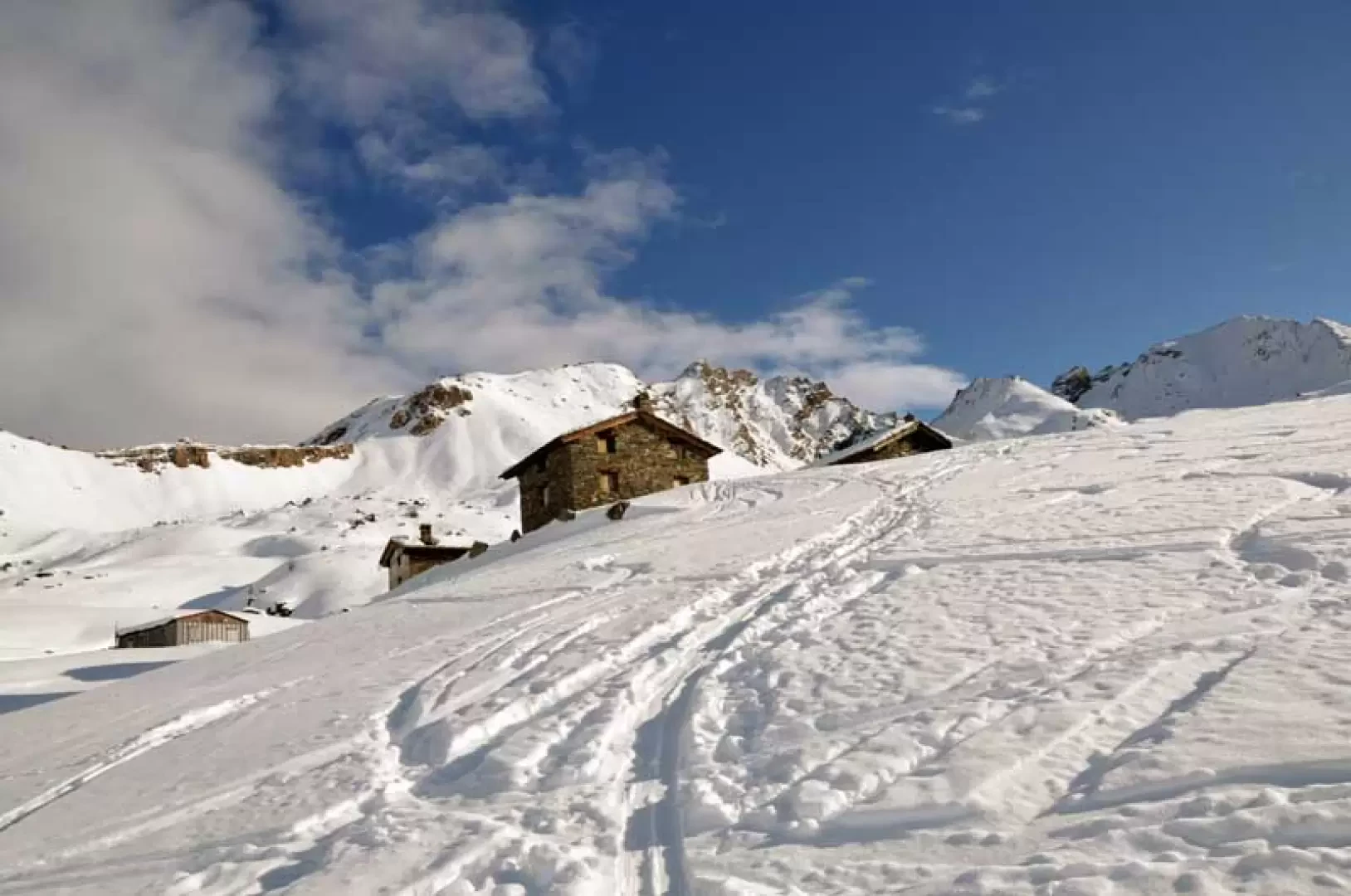
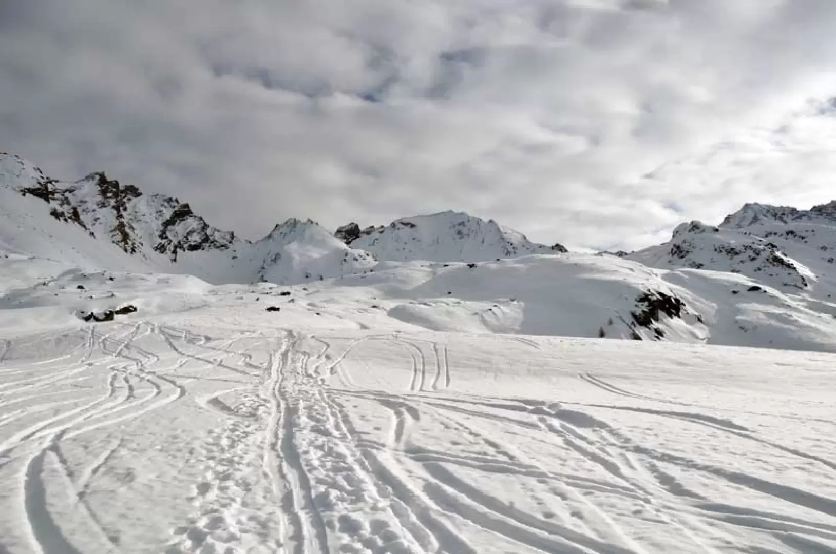
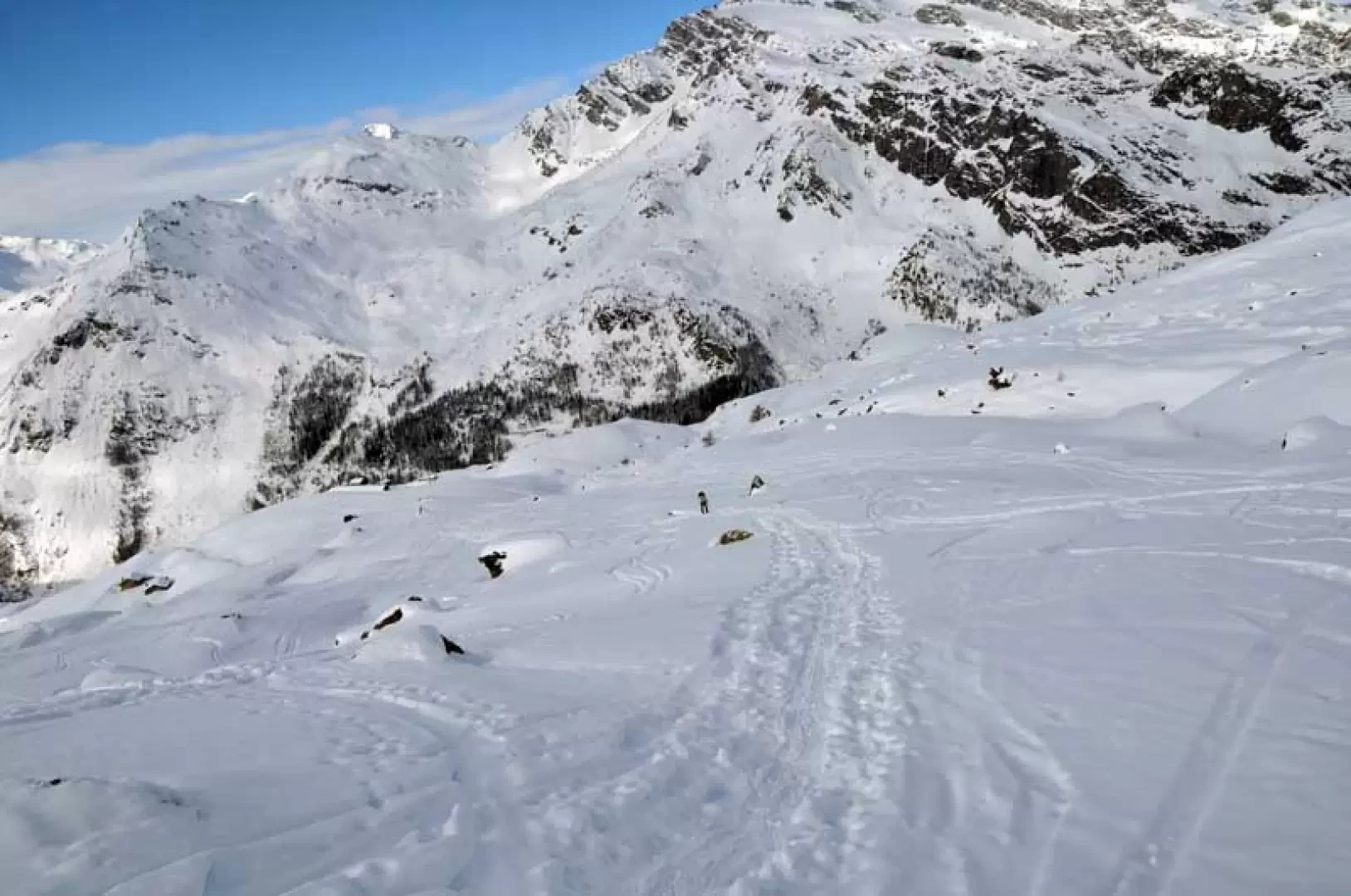
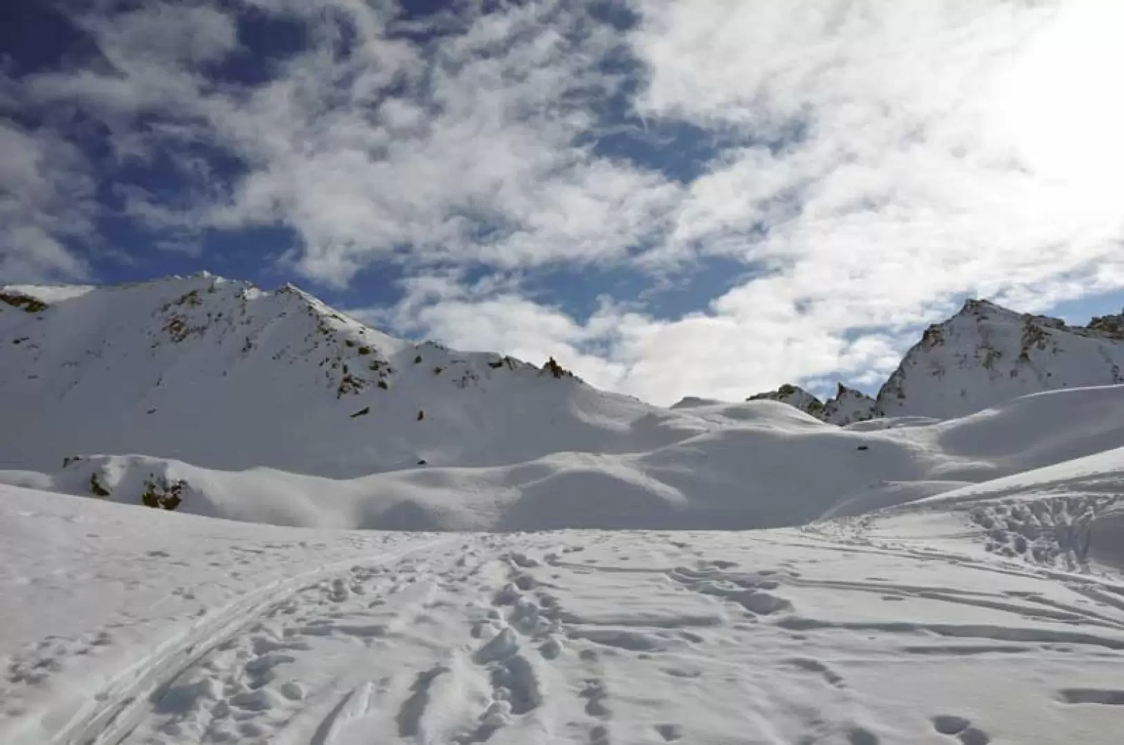
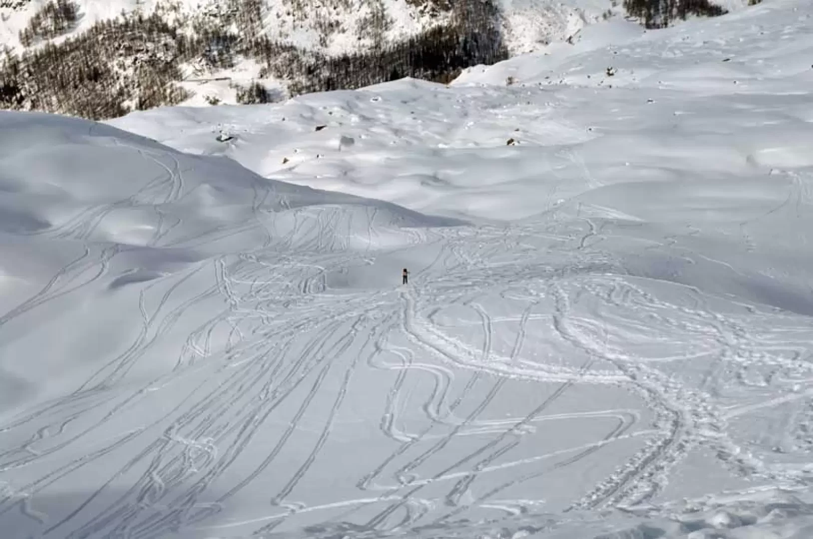
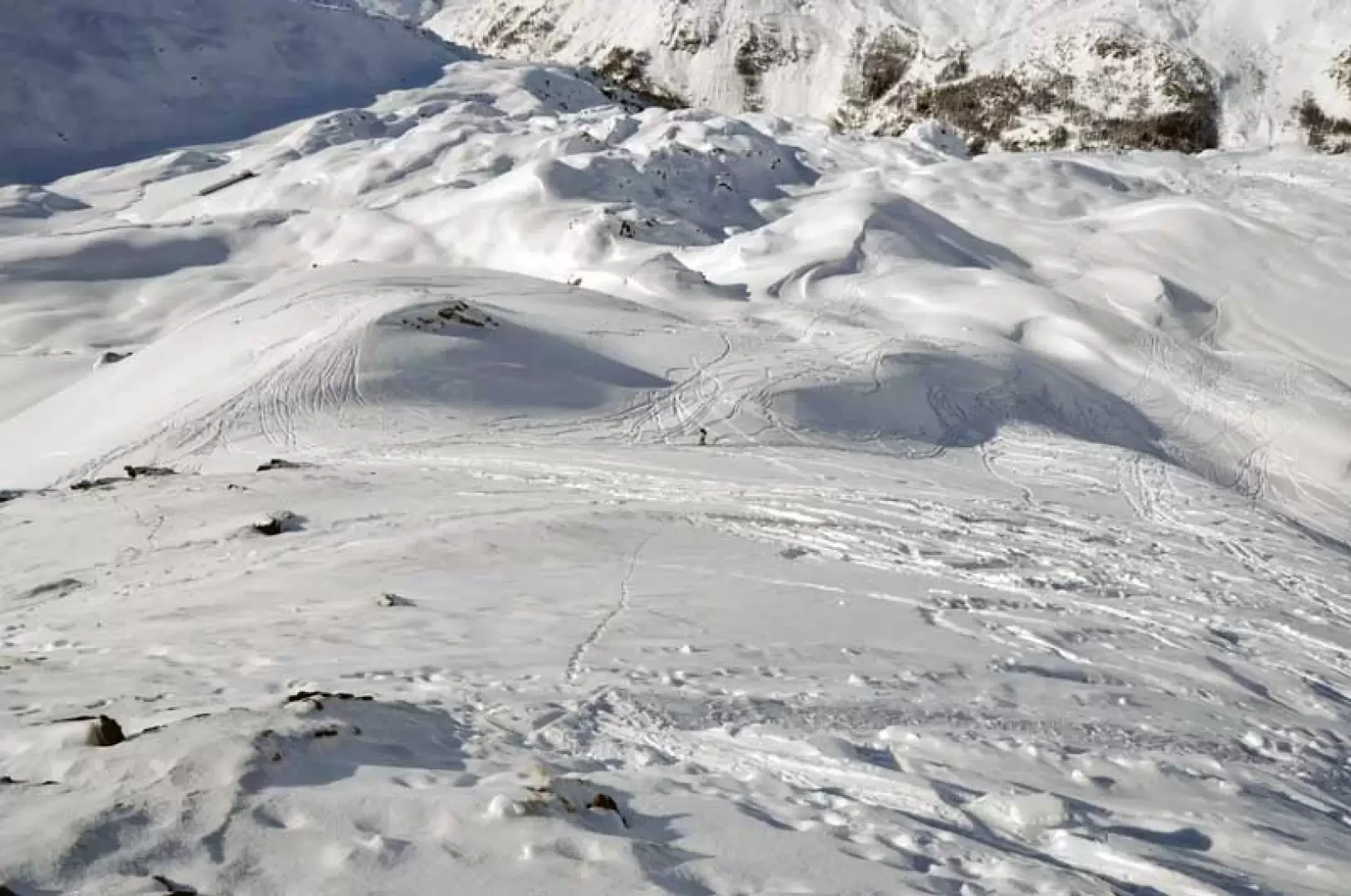
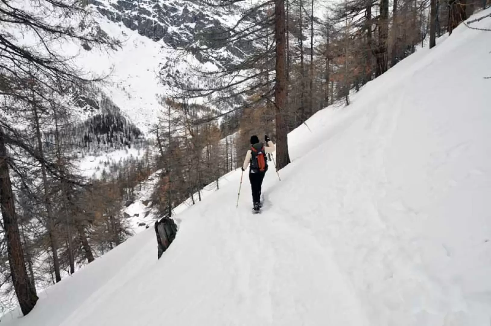
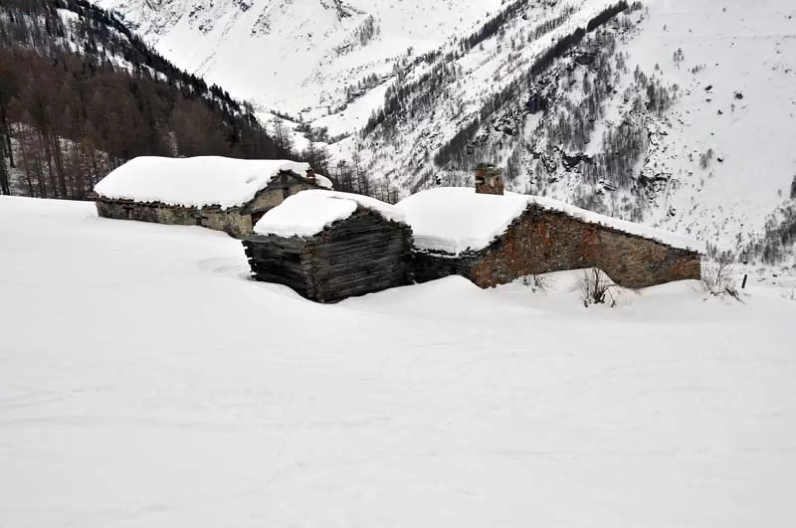
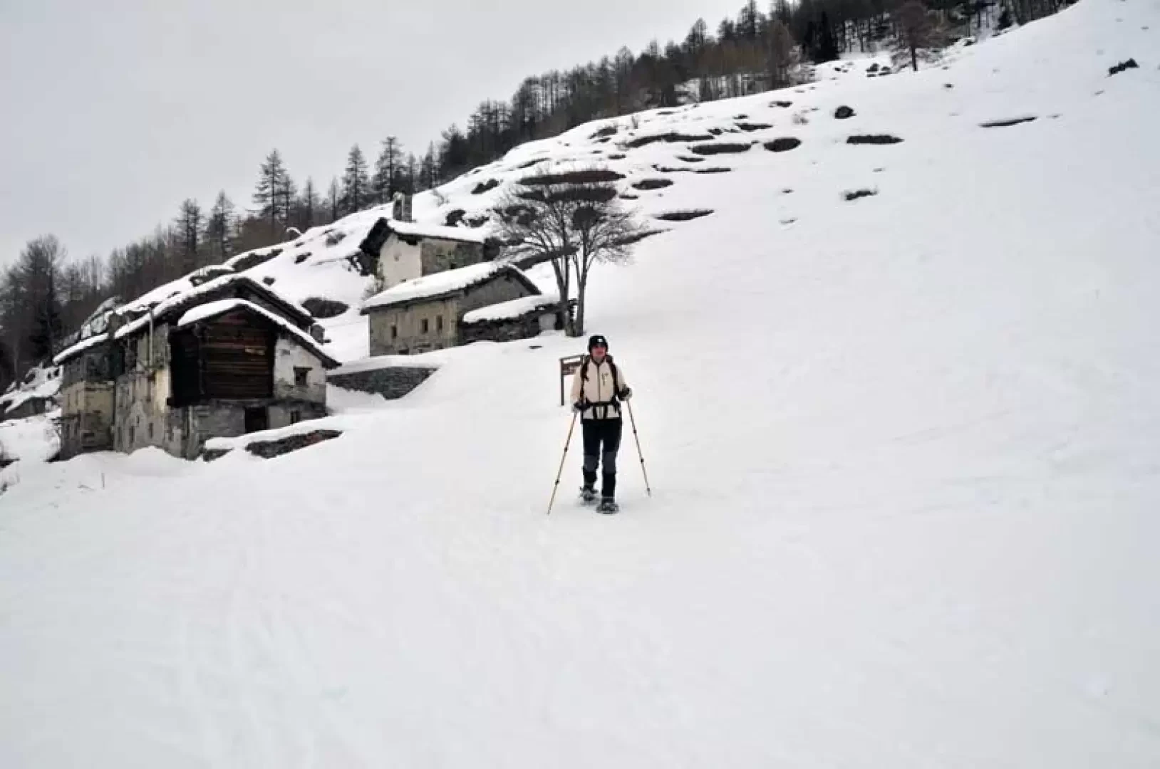
From the clearing, take the little road that starts to the left and runs alongside Lake Beauregard from above, passing under a small tunnel and, after about twenty minutes, you come to a fork in the road, at which you turn left, following the sign for Rocher. Up to this point, you walk comfortably on the road that is well beaten by a few snowmobiles and it is almost never necessary to put on snowshoes, but beyond that, depending on the snow conditions, you have to adjust at the time. However, one always walks on the track of an inter-modal road that climbs gently with a few hairpin bends and arrives at another fork (1862 m) where one continues to the right, still on the road, cutting almost level through the forest until reaching the Bouque huts (1918 m) where the track rises more decisively with a few hairpin bends. At one of these (2026 m), leave the path to the right for the Epée refuge, passing the Boche huts (2087 m) and a little further on the Bois huts (2148 m). Climb above the huts, ascending a fairly steep slope to the east, above which is the panoramic Catin alpine pasture (2310 m), which can only be seen at the last moment: now the landscape changes completely and the panorama widens out over the beautiful slopes stretching out to the east and the upper Valgrisenche to the west. We now climb above the huts without any obligatory path, passing at the lowest points between the many bumps, aiming towards the lowest point of the crest of the Becca di Pré d'Ament where, very small, we can see the spire that is the destination of this excursion. The route alternates between long climbs and crossings of small plateaus, where at times a few metres of altitude difference are lost, and in any case on very undulating terrain. After having overcome many bumps, we approach the crest, keeping to the right of the 'Cigar' and reaching a small col and from this point, with a last steep climb, we reach the base of the panoramic spire. Returning to Catin, descend directly towards the forest, making a few zig-zags and a few traverses where it becomes a little steep, heading for the clearly visible Prariond huts below (2084 m), pass them on the right and after a short descent you will reach the Rocher pasture (1890 m). From the houses keep to the left trying to find a farm road that, after a few hairpin bends, returns to the crossroads at an altitude of 1862 m encountered on the way up, and from here descend to the lake road.
Photo gallery
Comments (0)
Sign in to leave a comment