Bardoney, from Lillaz

Edited by:
Massimo Martini
Updated at: 30/11/2024
Access
At the motorway junction of Aosta Ovest turn right and take the road to the Cogne valley. Drive through the village of Aymavilles and after 1.3 kilometres at a roundabout take the second exit. Go up the regional road for 19 kilometres passing the villages of Vieyes, Epinel and Crétaz until you reach a roundabout: take the second exit following the signs for Lillaz. Continue on the communal road for about one kilometre until you come to another roundabout: continue straight on for another 1.8 kilometres until you come to the large free car park 🅿️ in Lillaz.
[0h32'] - [24.0km]
How to get there with GMAPS
How to get there with Apple Maps
The information provided here has been verified at the time of the survey of the itinerary. Before setting off, it is advisable to ensure that no substantial changes have occurred on the route to the starting point. We therefore recommend the use of the satellite navigation apps provided by Google or Apple for up-to-date and detailed directions.
Introduction
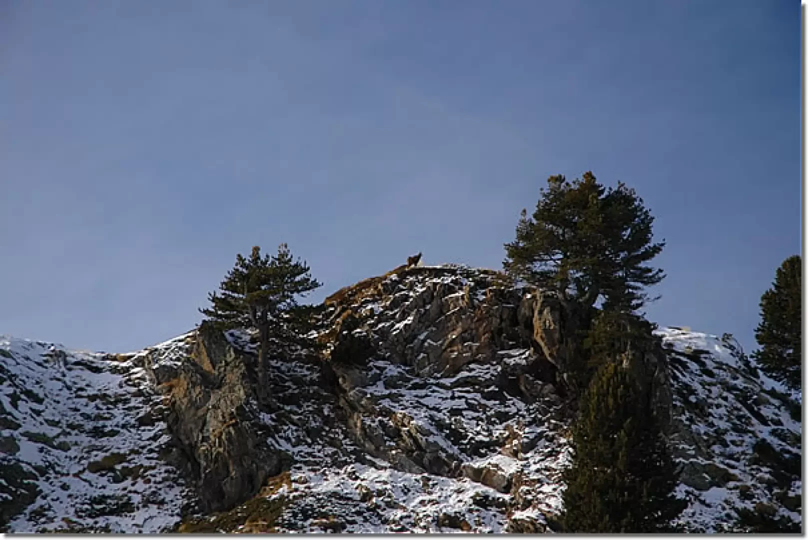
Beautiful and rewarding hike in the Gran Paradiso National Park. Initially, you walk along the Urtier valley and then turn right along the Bardoney valley: interesting atmospheres and animal sightings are guaranteed!
In the months when the days are shorter, December and January, sunset occurs very early, around 14.00. Wait for the last rays of sunlight to disappear on the peaks that form the watershed with the Valeille: there will be no shortage of emotional charms!
Description
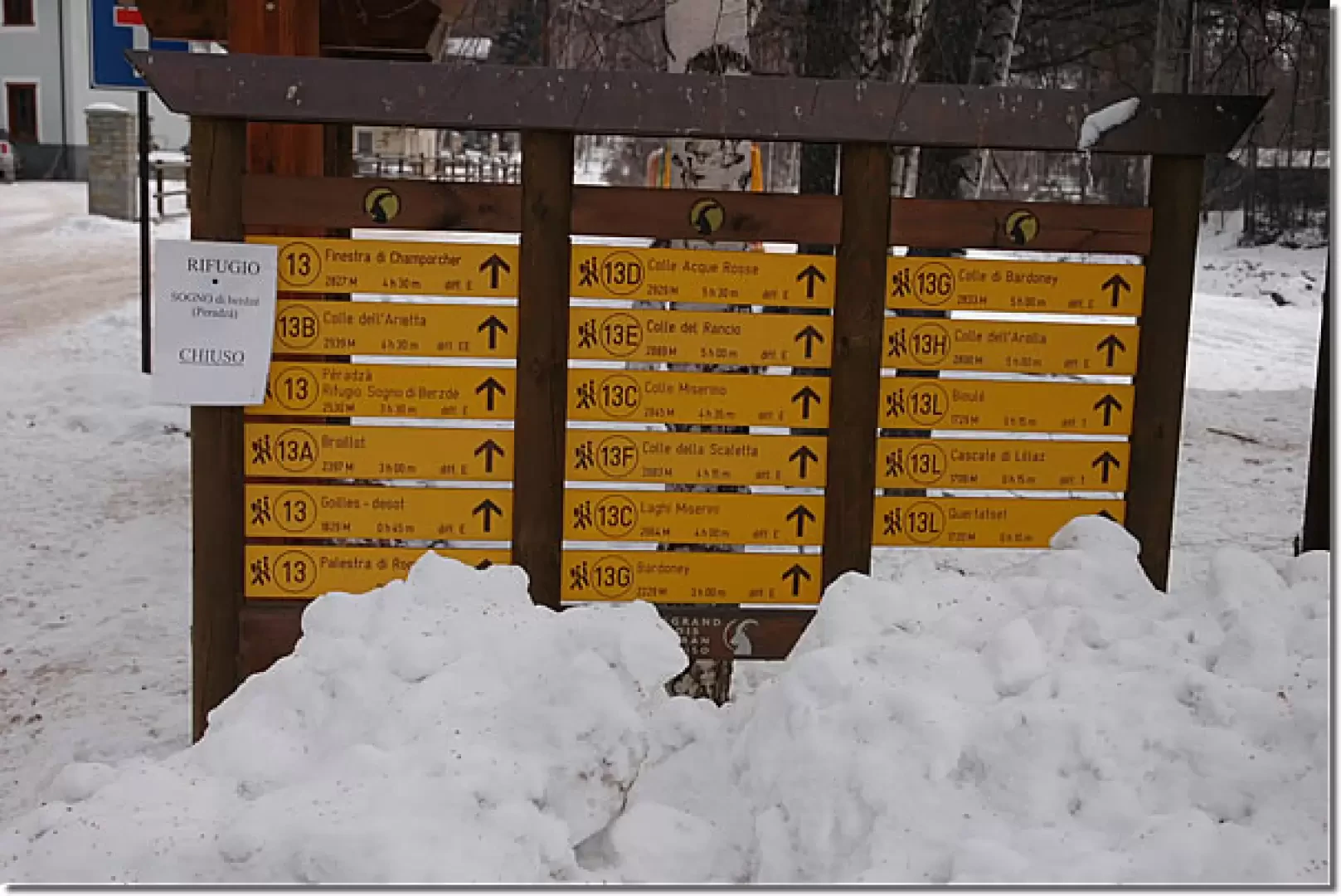
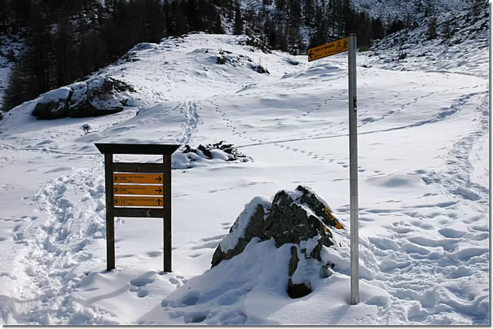
Leave the car and proceed towards a small shelter where the main paths of the area are indicated: follow itinerary
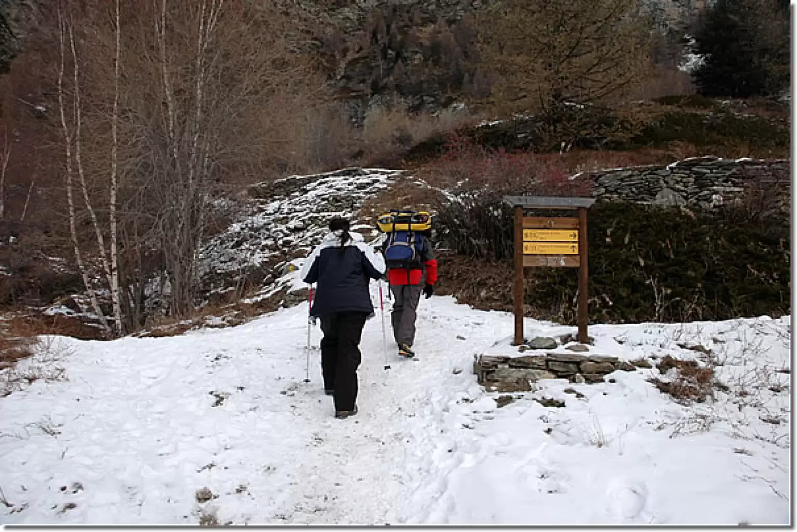
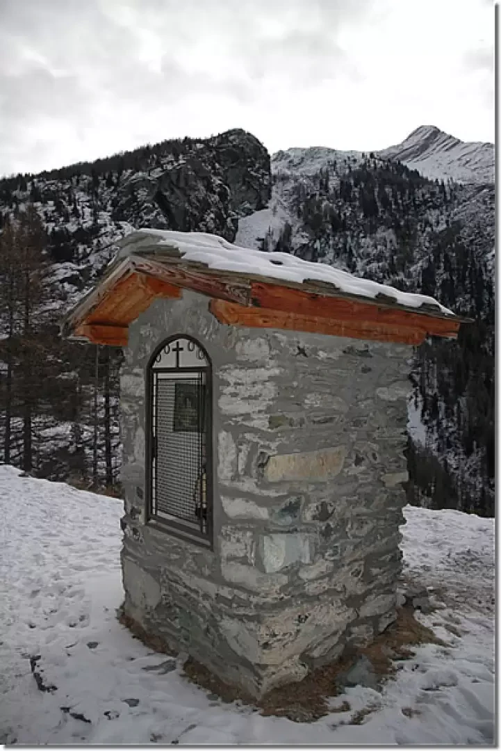
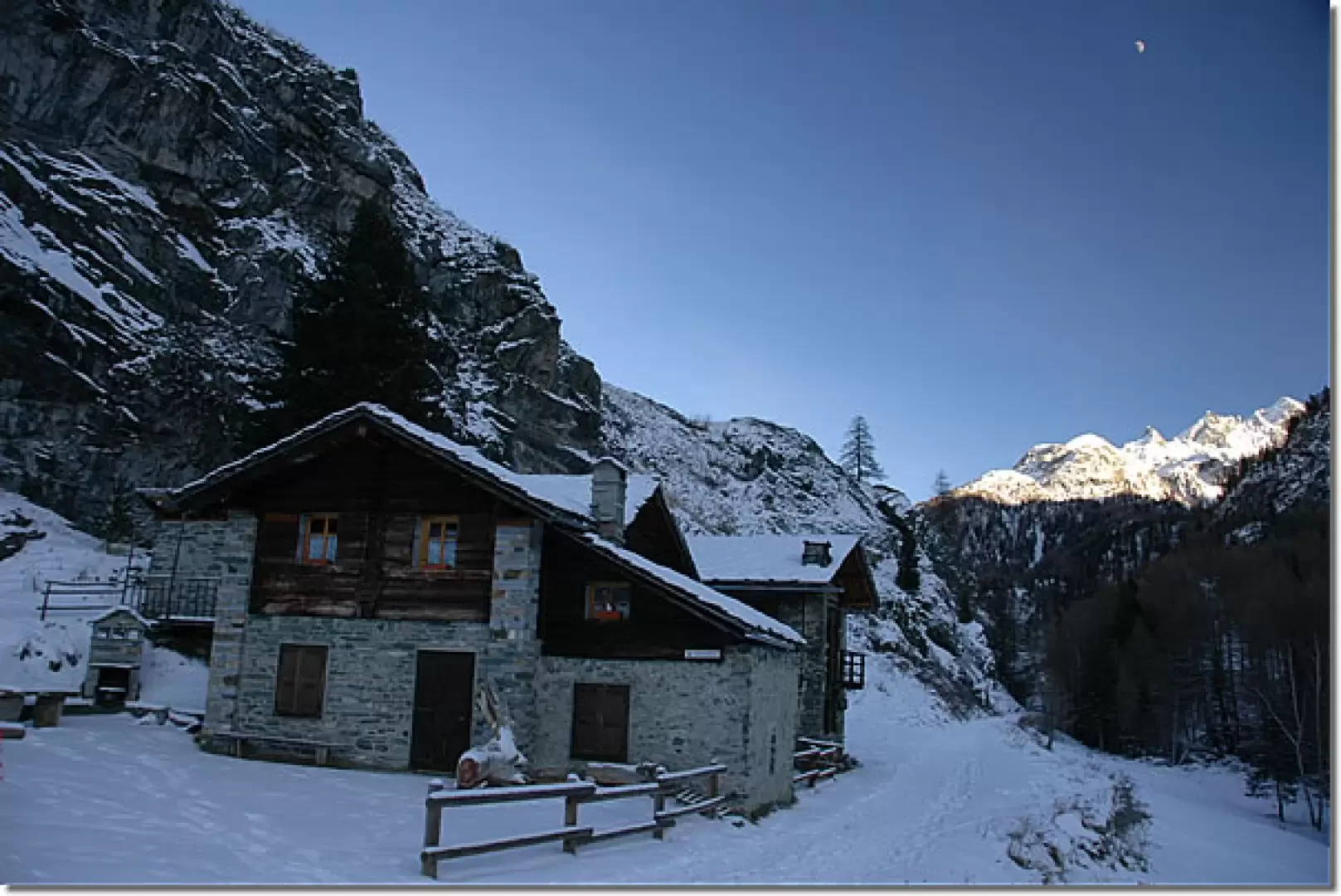
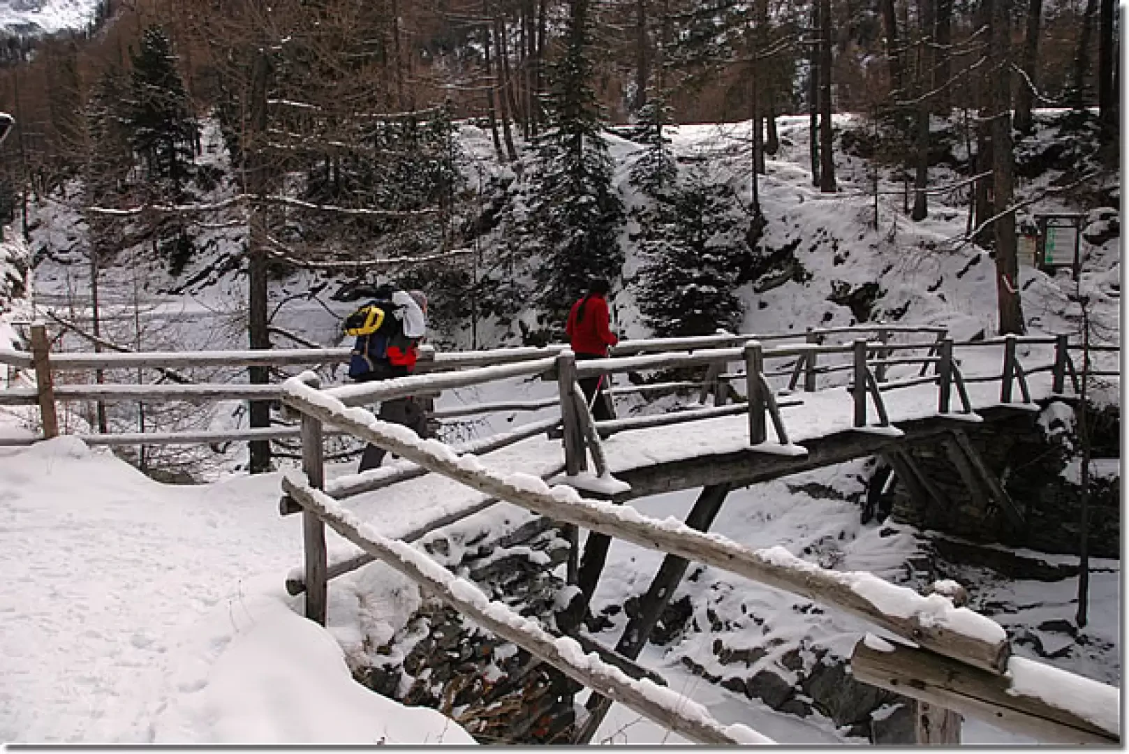
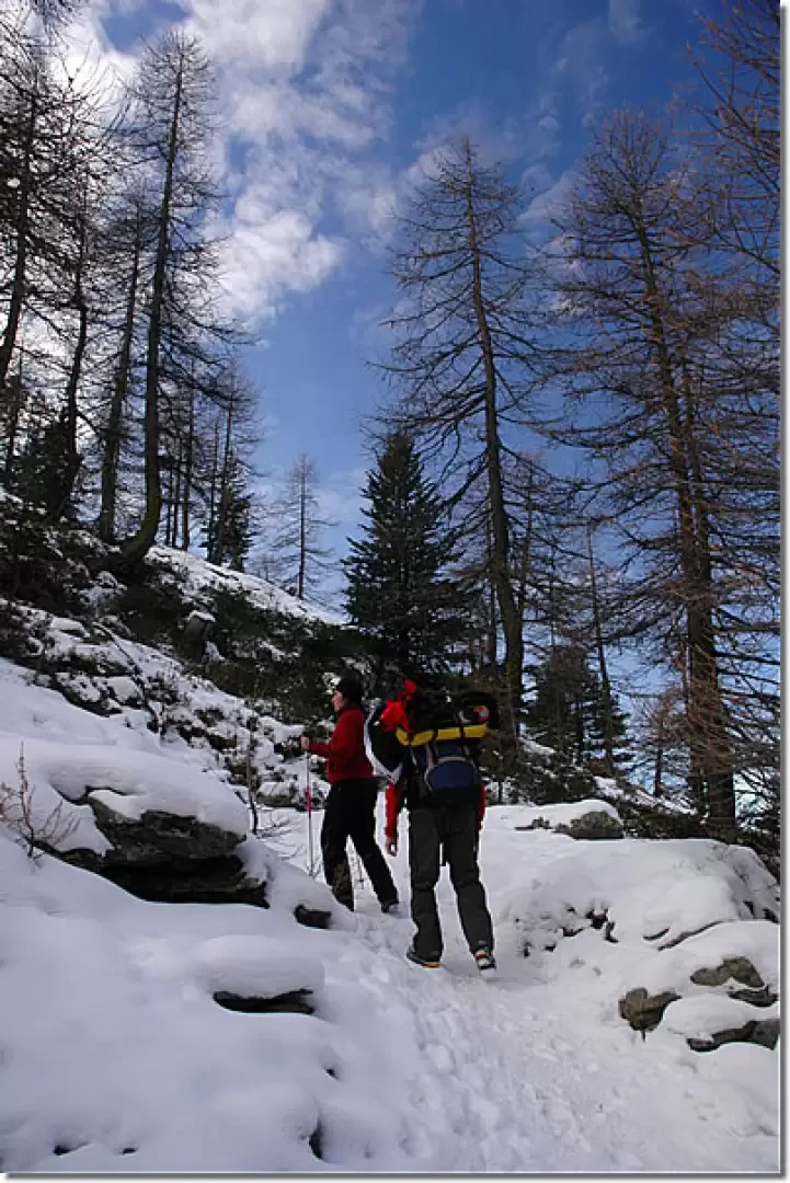
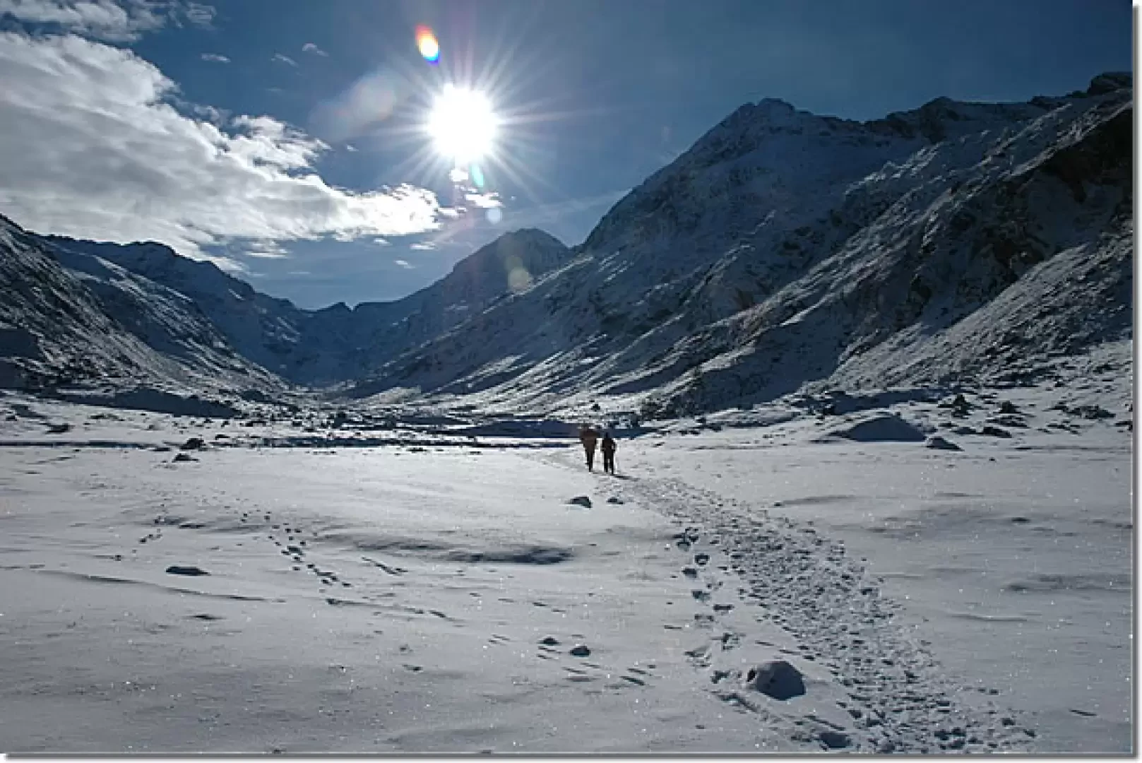
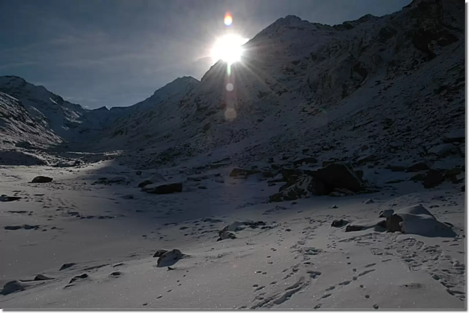
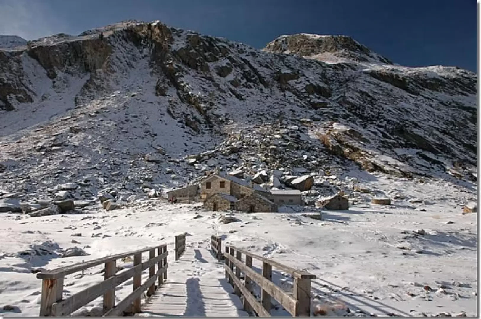
which leads to Colle Bardoney. Once you have passed the signposted shelter, take a small road that runs alongside the Urtier stream, after a few minutes you will come across a no-trespassing sign: the road forks, take the small road to the left and, shortly afterwards, you will come to the marker indicating the start of the path. Start to climb up the summer path through a beautiful larch forest, leaving the last houses of the village behind. After a few minutes, take a series of twists and turns until you come to the crossroads for the Lillaz waterfalls (1701m, 0h10'). Continue straight ahead and soon reach a small road: turn left and then, after a few metres, right following the signs for the climbing hall. Proceed along an open stretch, meet the fork for the climbing hall (to the right) and continue towards a rocky buttress. The path tends to the right, crosses the penstocks of the Lillaz CVA power station and reaches a votive shrine located above the waterfalls (1726m, 0h20'). Here, the trail descends slightly to below some pastures where it begins to climb, crossing them, until it reaches Goilles Desot (1834m, 0h35'). Once past the hamlet, take a small agricultural road that soon leads to a bridge crossing the Urtier stream. When you reach its orographic left-hand side, start to climb up through the forest. You will come to a small clearing where a farm track on the left-hand side is overlooked, and continue into the forest again. The ascent takes place on the comfortable summer mule track that climbs the cirque below the lake. After ascending a wide gully, the path flattens out slightly and then begins to climb again just before a couple of bends, supported by dry stone walls edged with wooden railings. Swiss stone pine now appears in the forest and, after crossing a small stream on a wooden footbridge, one proceeds to a gorge formed by the Urtier stream. Go round the gorge and soon reach the turnoff for the Bardoney valley (2129m, 1h45'). Follow the signs for Col Bardoney and ignore the itinerary (13) for the [[Rifugio Sogno di Berdzé]] at Peradzà, which branches off to the left. After an initial flat section, the path curves slightly to the right and begins to climb a small drop where the Bardoney stream forms a small waterfall, now frozen. Climb up the mule track lined with wooden railings until reaching the pastures below the Bardoney pasture; cross a bucolic landscape until reaching a new fork (2215m, 2h05'). Disregard the diversions to the right for Lago delle Loie and continue straight on, heading decisively towards the now visible cottages: after a few minutes you finally reach Bardoney (2231m, 2h15').
The descent follows the same route as the ascent (1h45').
Galleria fotografica