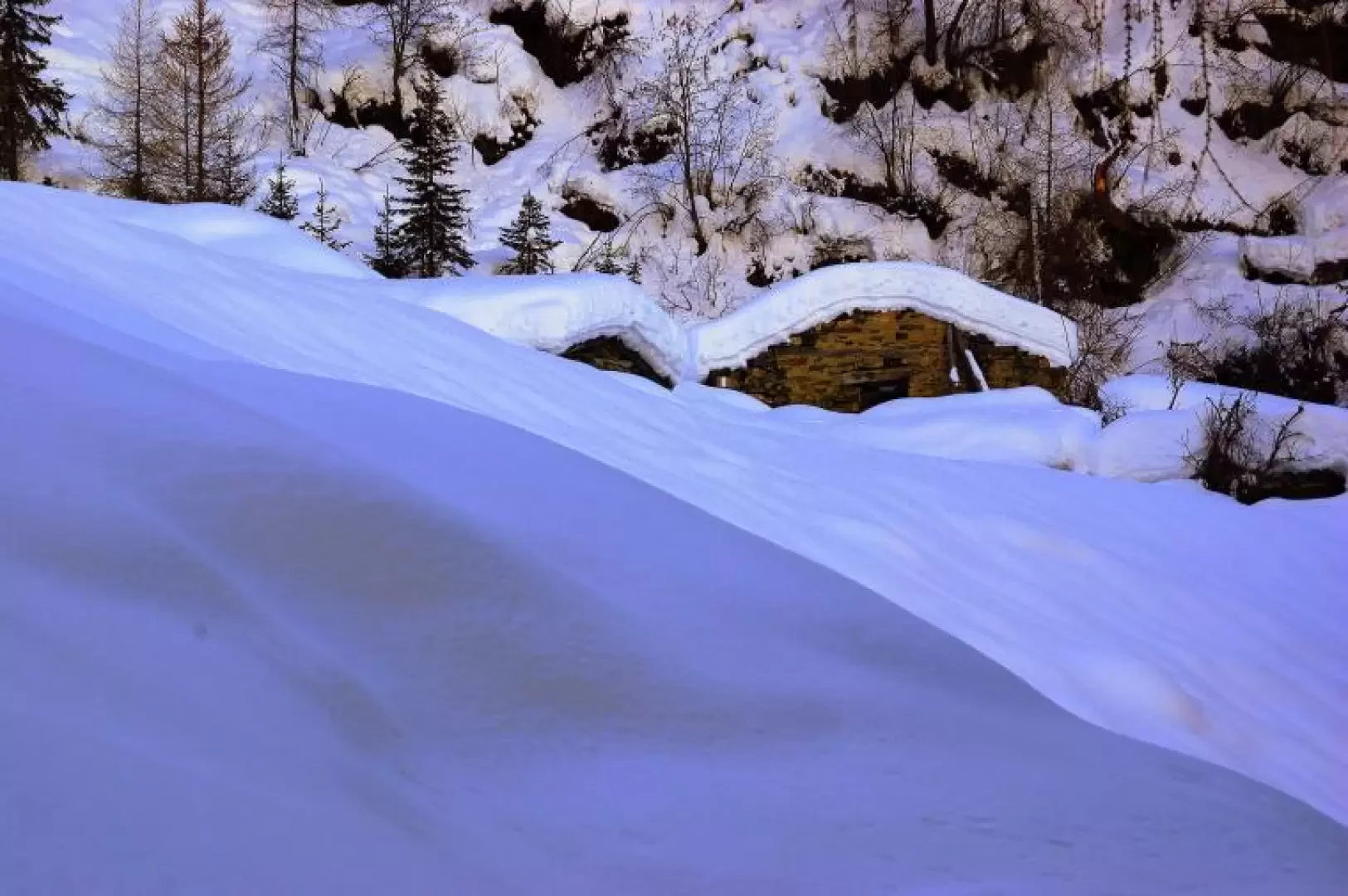
Alpe Pescée, from Tornadri

Access
From Milan to Sondrio along state roads 36 and 38; at the roundabout at the entrance to the town turn left towards Valmalenco. Drive along the entire valley until just beyond Tornadri (the last district of Lanzada), where a private road to the talc mines branches off to the right. The exact spot is identifiable by the presence of an electricity box topped by a wooden sign for "Alpe Brusada - 1 hour". There is little parking in the vicinity.
Introduction
An unprecedented excursion in its extension to Alpe Pescée, which is mainly of landscape and geological interest. It always runs in the shade (powdery snow that lingers for a long time) on the slope that overlooks the alpine pastures and the ancient quarries of Lanzada/Franscia without giving too much suspicion to the summit presence of the vast ski area of Chiesa Valmalenco. Continuing beyond the indicated destination (towards Alpe Acquanera) is not very evident and not without risk of avalanche.
.Description
From the car park, about 1100 m, briefly follow the tarmac road kept clear of snow as far as the mine's small loading area; from here take the forest track which, alternating between semi-flat stretches and discrete climbs, climbs in hairpin bends through the sparse coniferous forest as far as the first huts about 1400 m from Brusada. The track, now more comfortable, leads with a few wide bends to the main nucleus of Alpe Brusada 1483 m, located on a vast terrace with a good view of the centre of Valmalenco, but completely unsuspected from below. Up to this point, the route is normally beaten by repeated passages, even of snowmobiles. The continuation must be tackled with a spirit of searching in the snow for the passage according to the logic of the path below (the signposts are not correctly oriented). Continue southwards until you come in sight of a second group of huts (with a small church) and from here begin to climb the slope to the left with a long upward traverse; having reached the larch wood - wide and bright - the ascent becomes much more accentuated and you face a long series of hairpin bends that develop on a poorly marked ridge on the right-hand edge of a small valley. At an altitude of 1,724 m, you come out into a rather steep clearing, at the southern edge of which you can see the few huts half-submerged by snow of Alpe Pescée. The hollow of the alp is bordered to the east by a rocky rise that supports the terraces of Alpe Acquanera, and to the north by the Costone del Cengiasc (bordering Alpe Largone), on which the ruins of a mining village dedicated to asbestos mining can be seen.
Return along the ascent route.
General Information
Tour:from Tornadri
Type of route: a/r
Recommended period: December, January, February, March
Sun exposure:North
Recommended equipment:Well-cramped snowshoes